Postbridge Circular
Dartmoor National Park, England
The trail:
- Location: Dartmoor National Park, England
- Categories: Spring / Summer / Autumn / Winter / Human continental / Highland / Foothill / Plain / Wood / Marsh / Rural / River / Stream
- Duration: 5-7 hours
- Distance: 8.7 miles
Walking the trail:
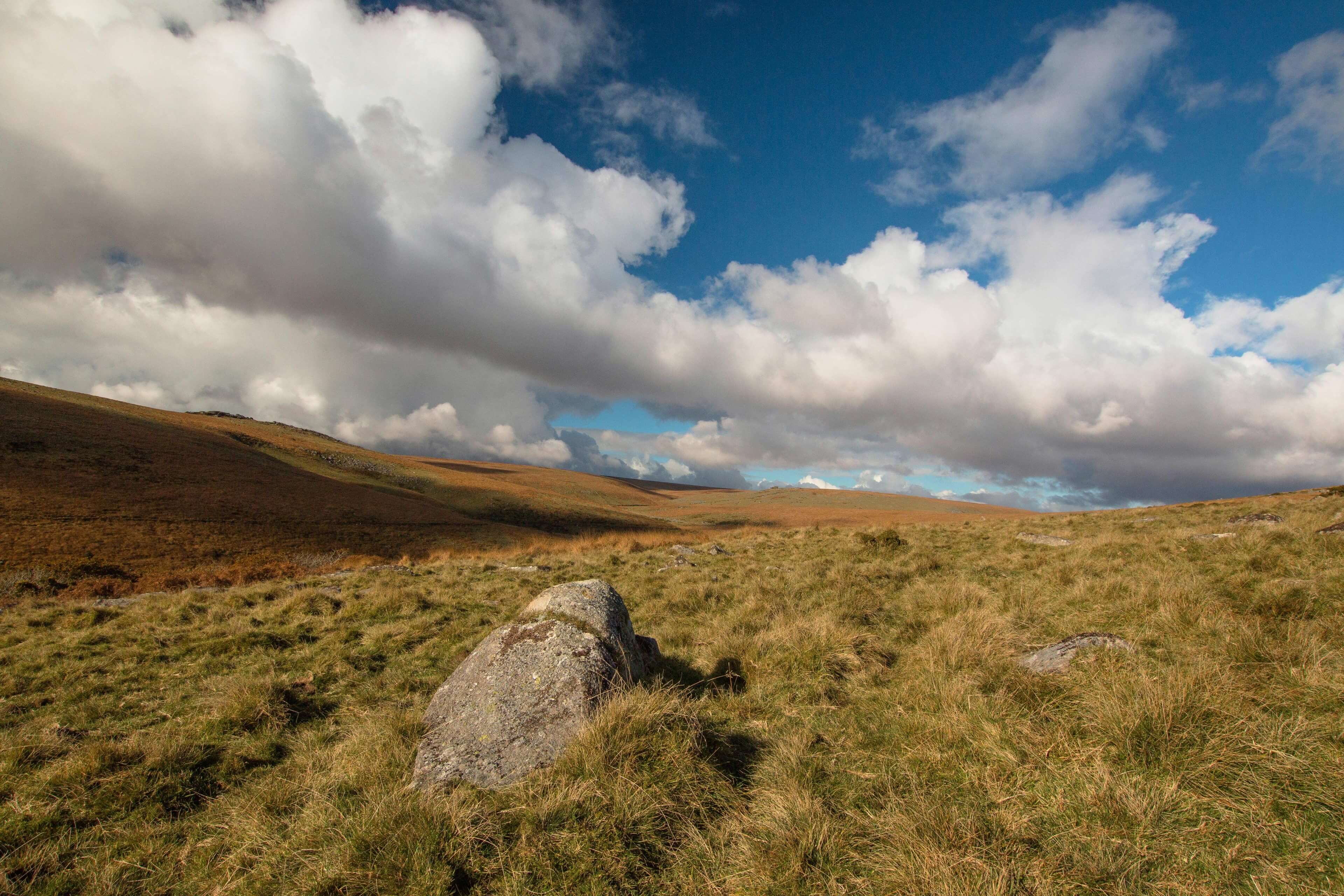
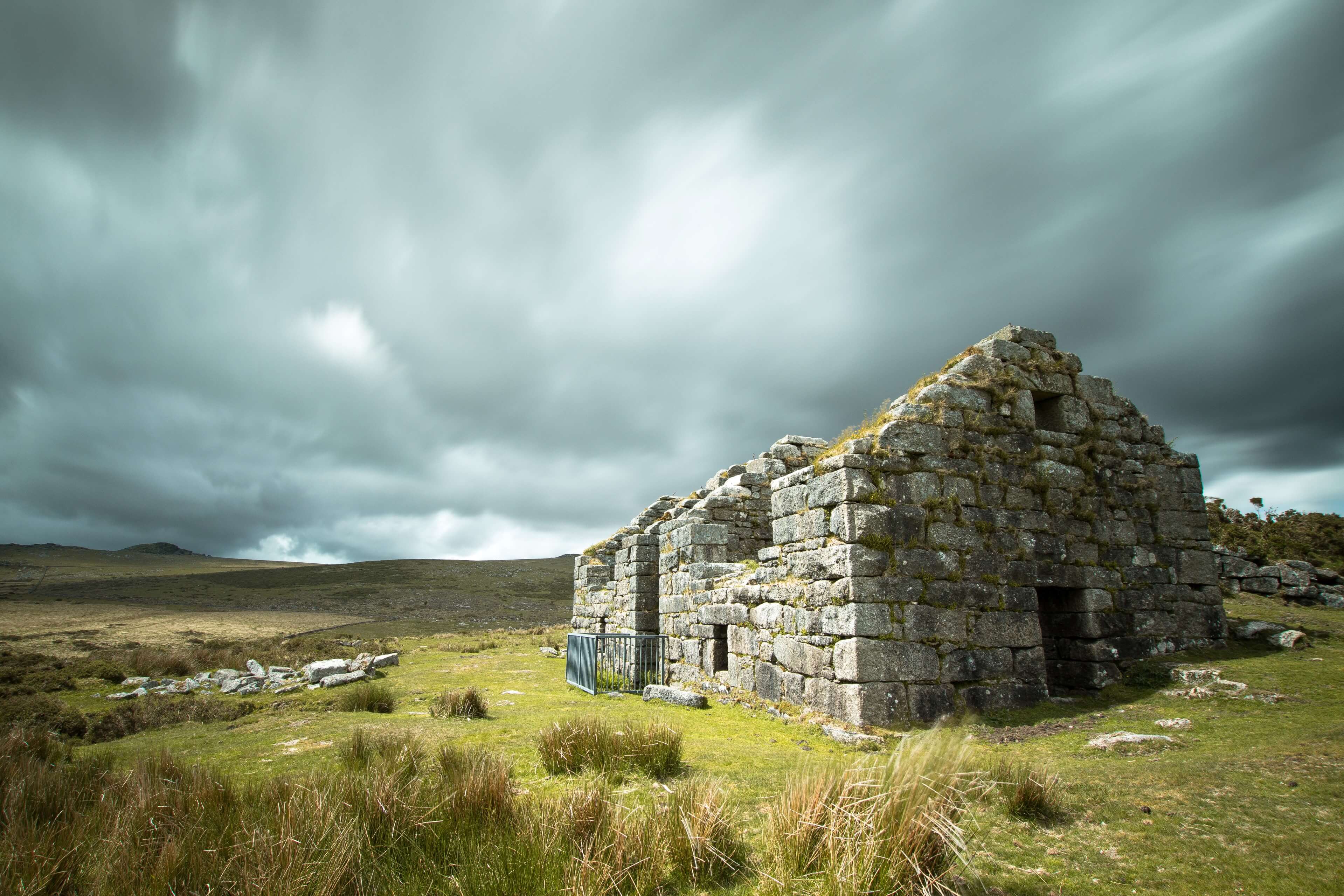
- Summary: A circular walk from the village of Postbridge in the heart of Dartmoor. This trail takes in some varied and interesting scenery from Tors, open moorland, ancient forests, clapper bridges and an old gunpowder mine. One of the best day walks in the national park!
I Found my way back to Dartmoor, together with Trail Exposure buddy Lloyd Hughes for my favourite circular walk in the national park.
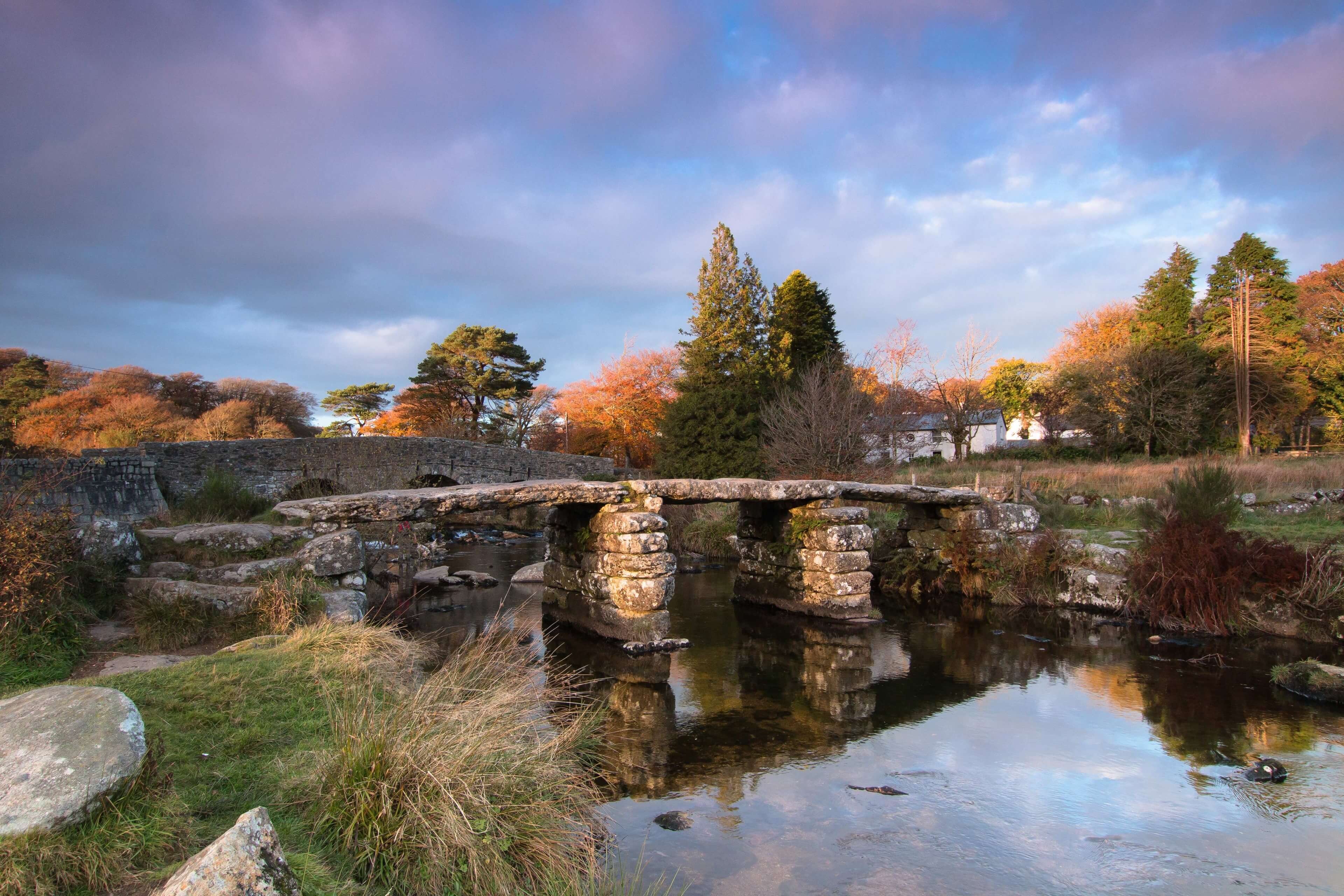
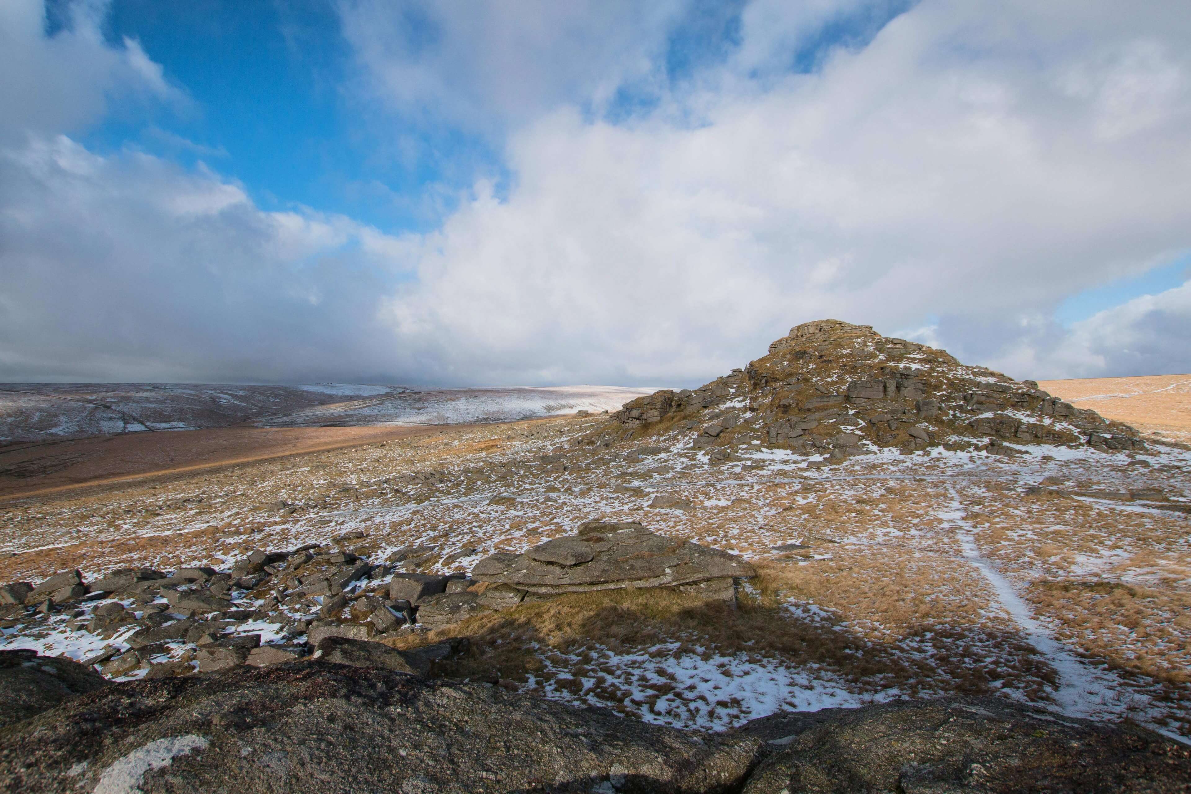
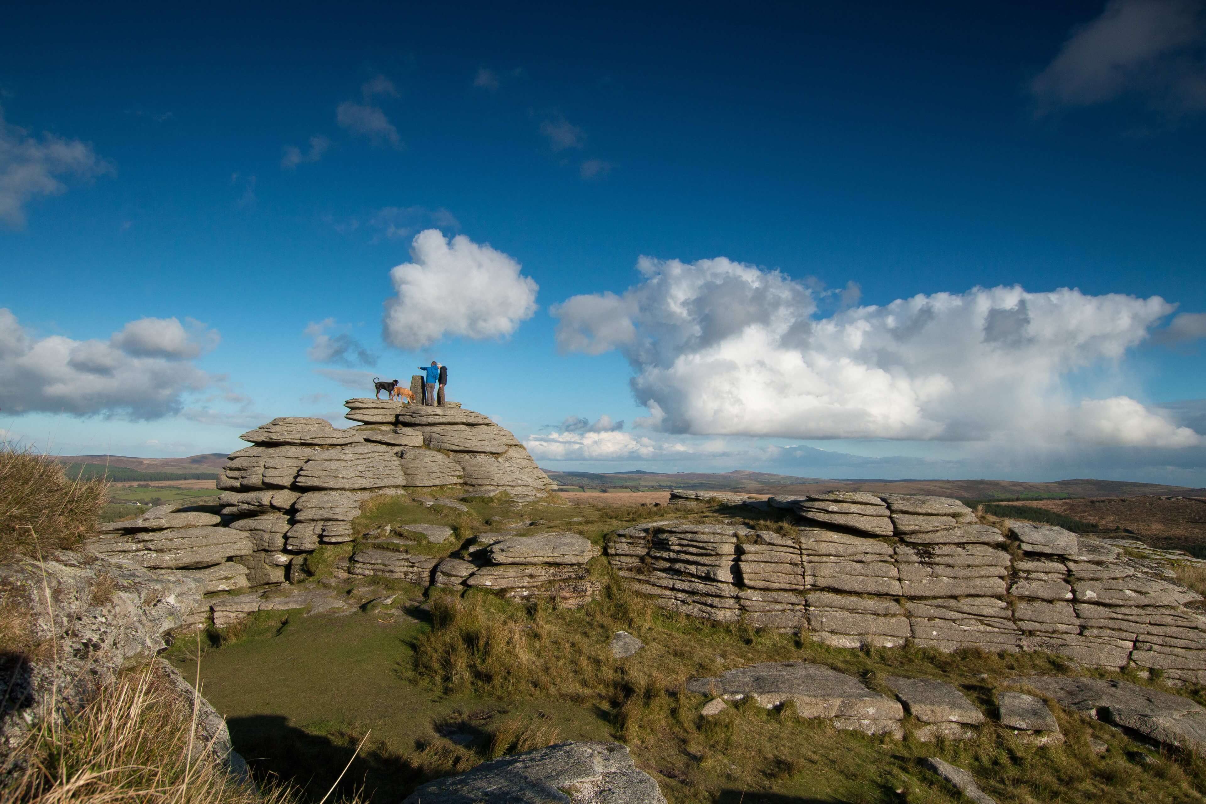
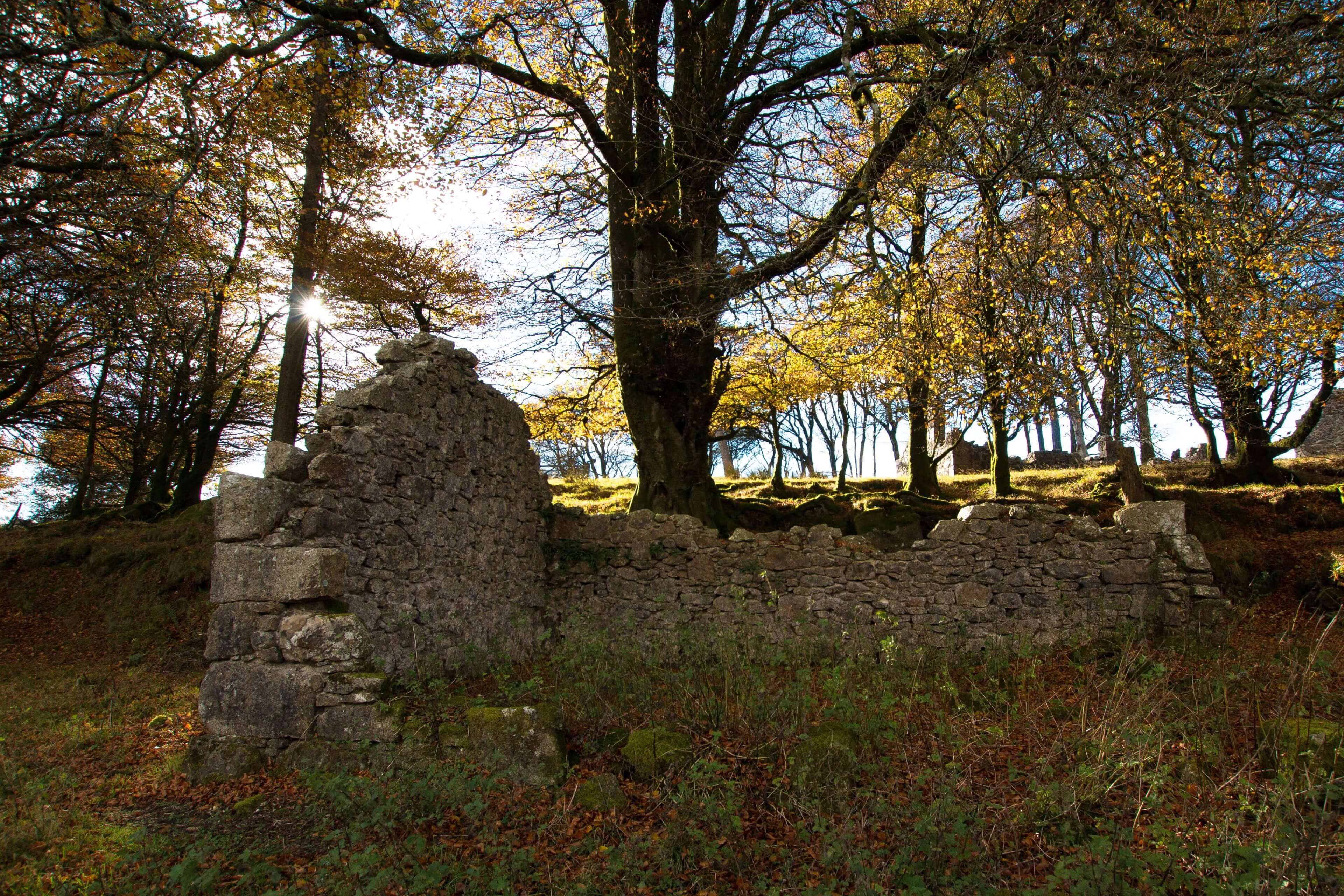
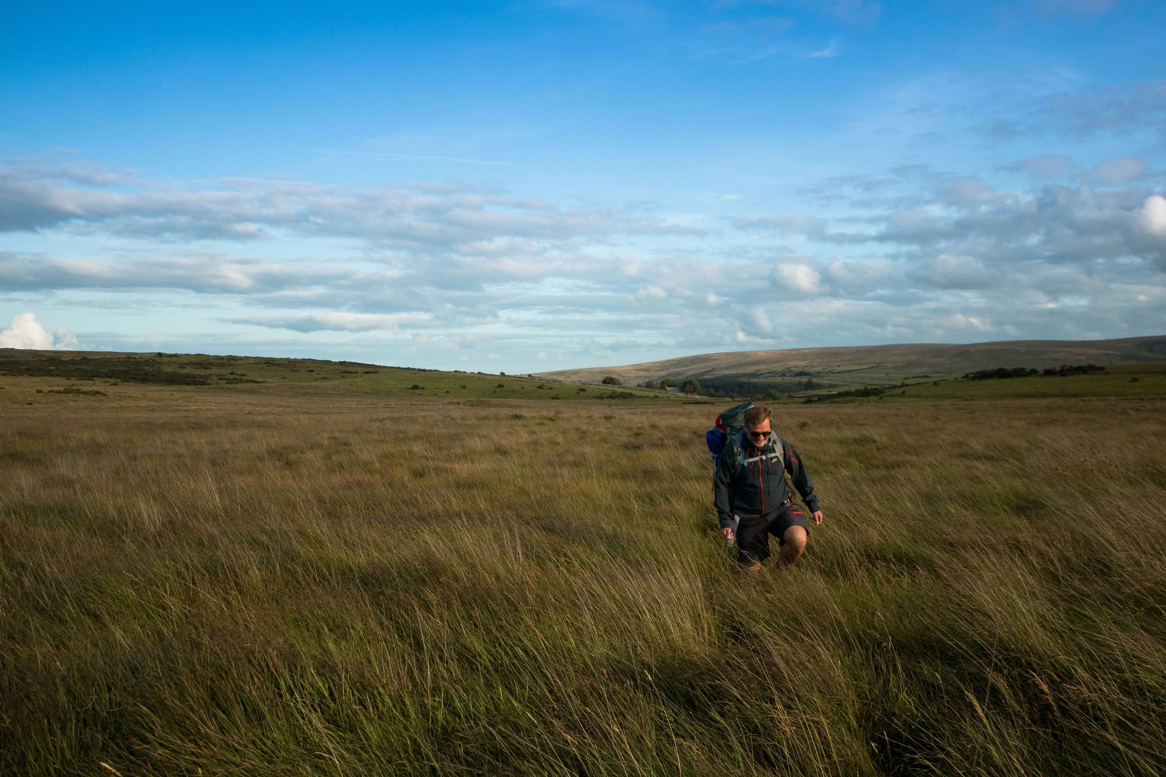
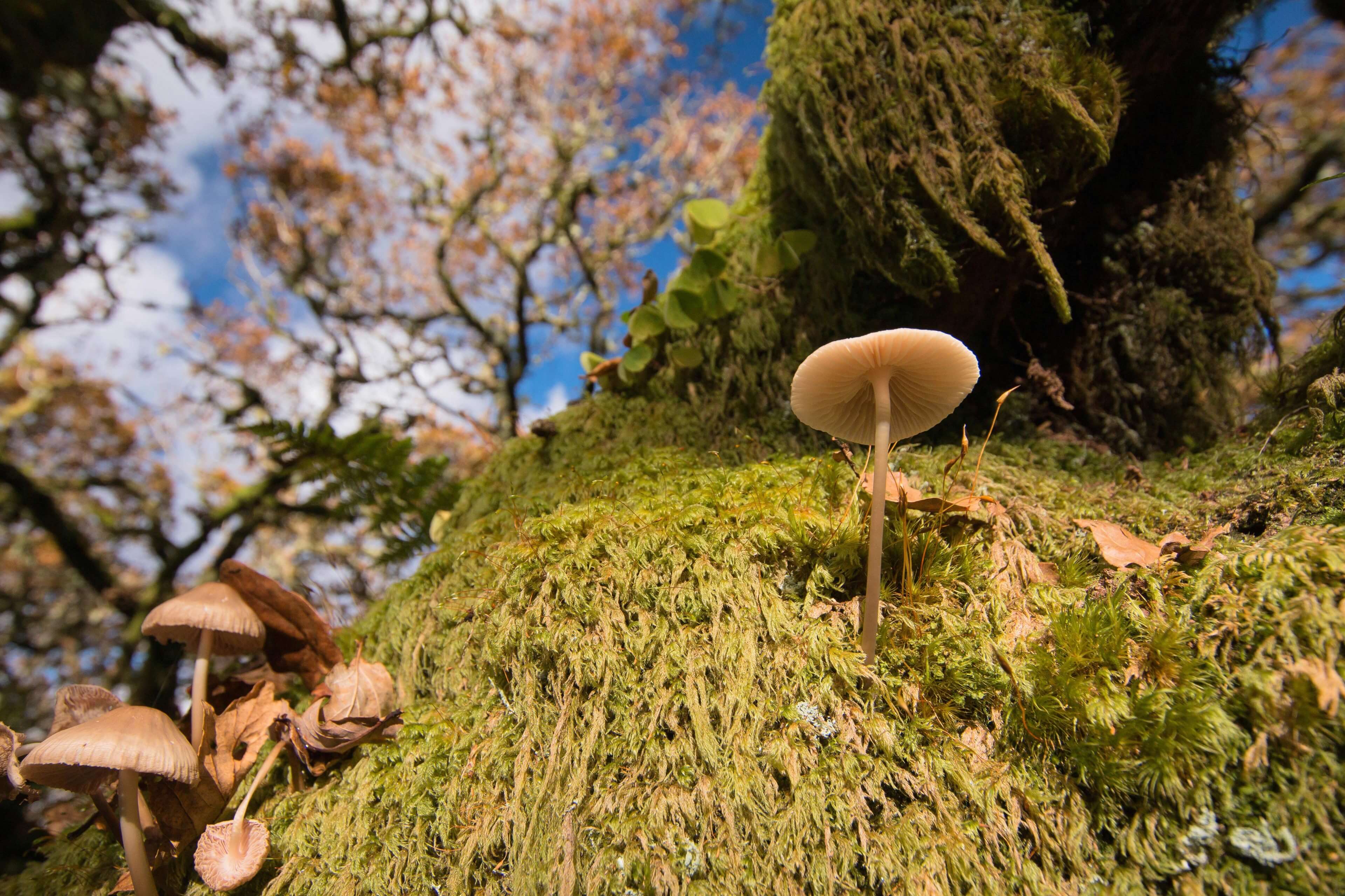
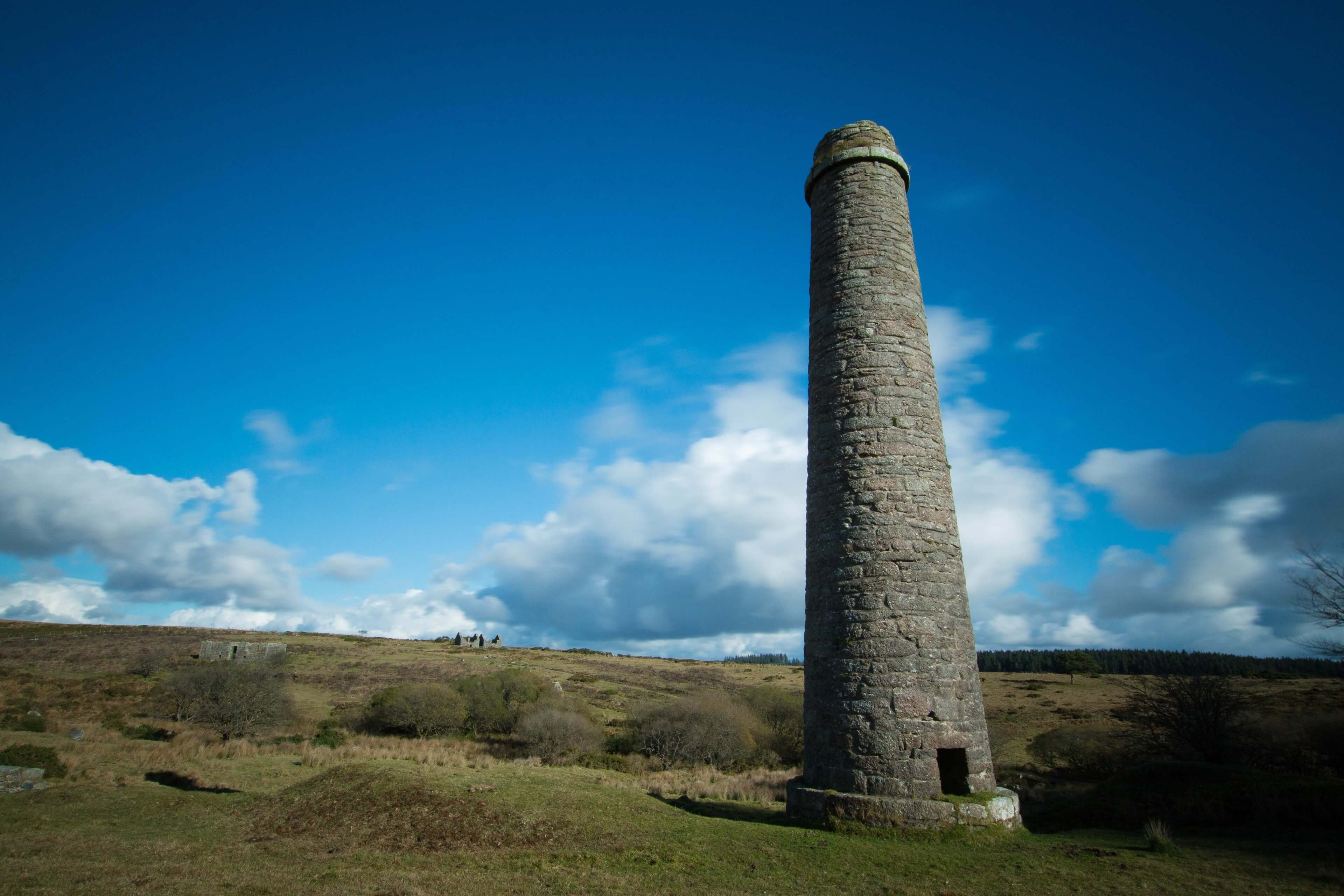
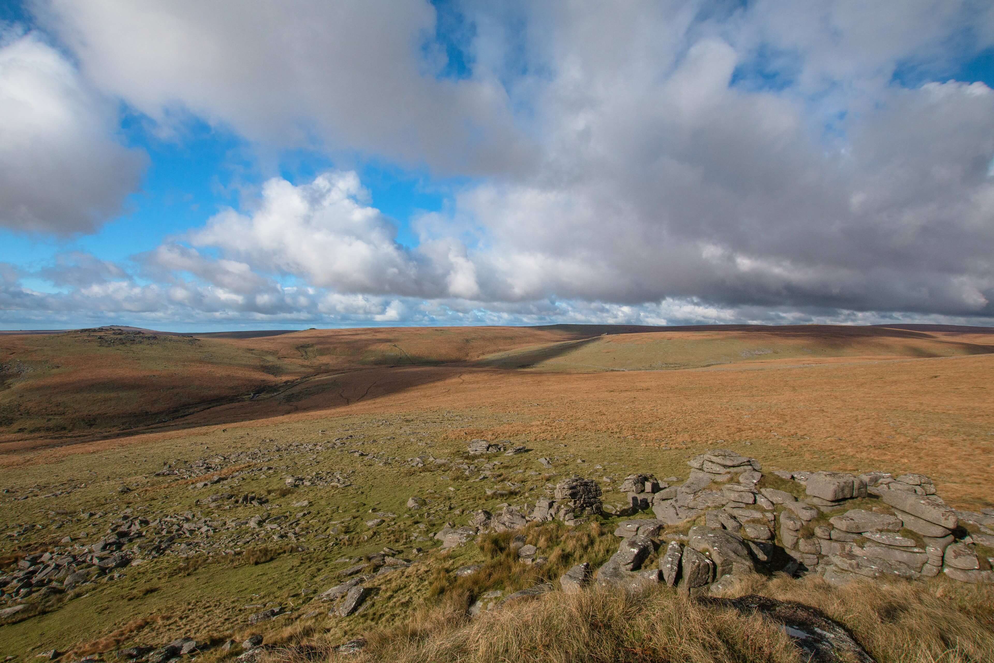
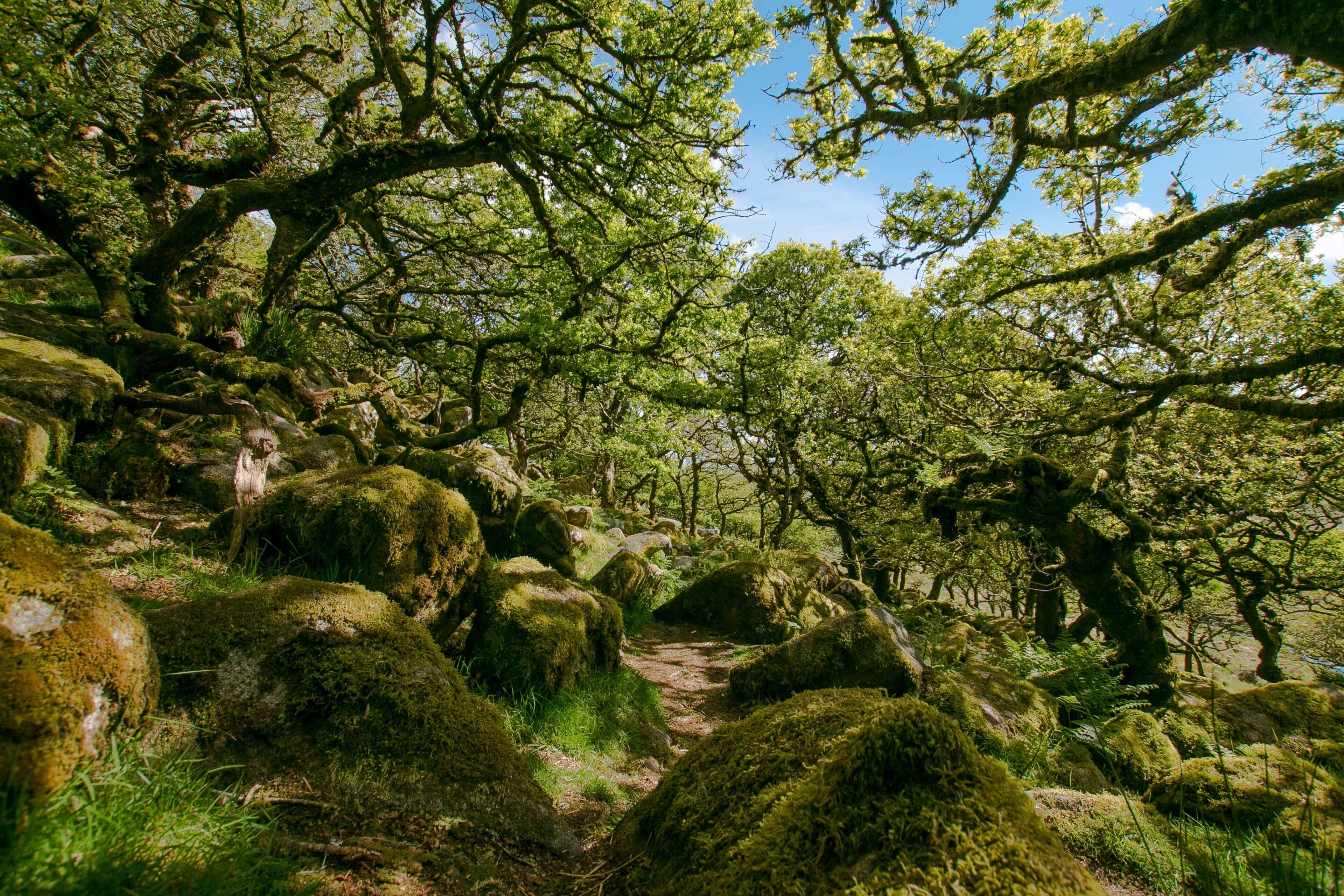
This trail is just a mere 8.7 miles long but sure packs in some varied (and sometimes tough) terrain and an assortment of interesting sights to see. You will walk over Tors, open moor land, an old gunpowder industrial site (with a few ruined granite buildings), ancient woodland and the well visited clapper bridge in Postbridge.
The walk starts from the visitor centre in Postbridge along the B3212. (postcode PL20 6TH) The car park is free however there is a donation box by the visitor centre which I would strongly encourage people to donate too to help the good people maintain the park.
From Postbridge you head immediately north west along the footpath to start the westbound loop which will go as far as Wistmans woods (a fantastic atmospheric ancient woods) then returning through the Powder Mills, Bellever Tor and returning to Postbridge.
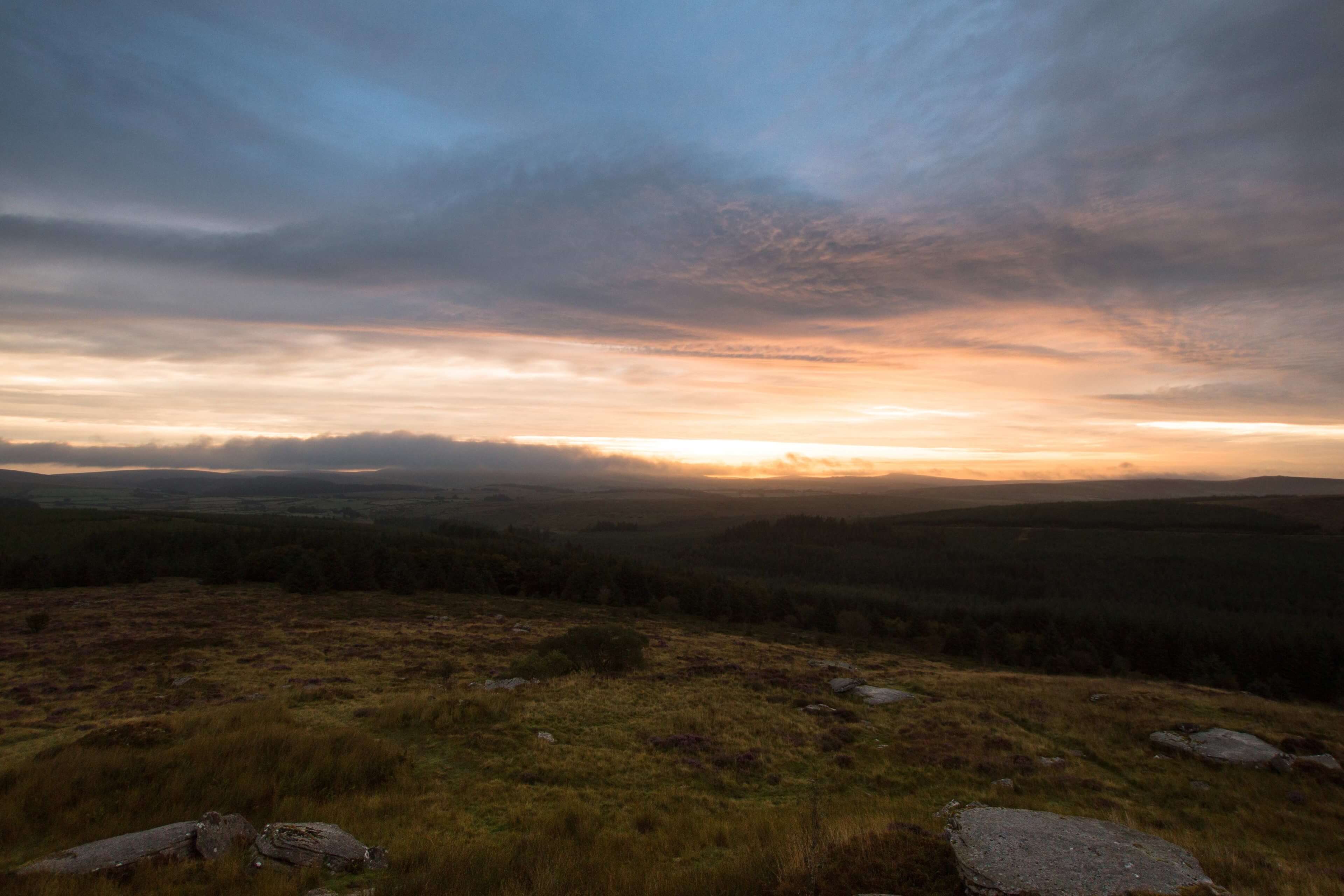
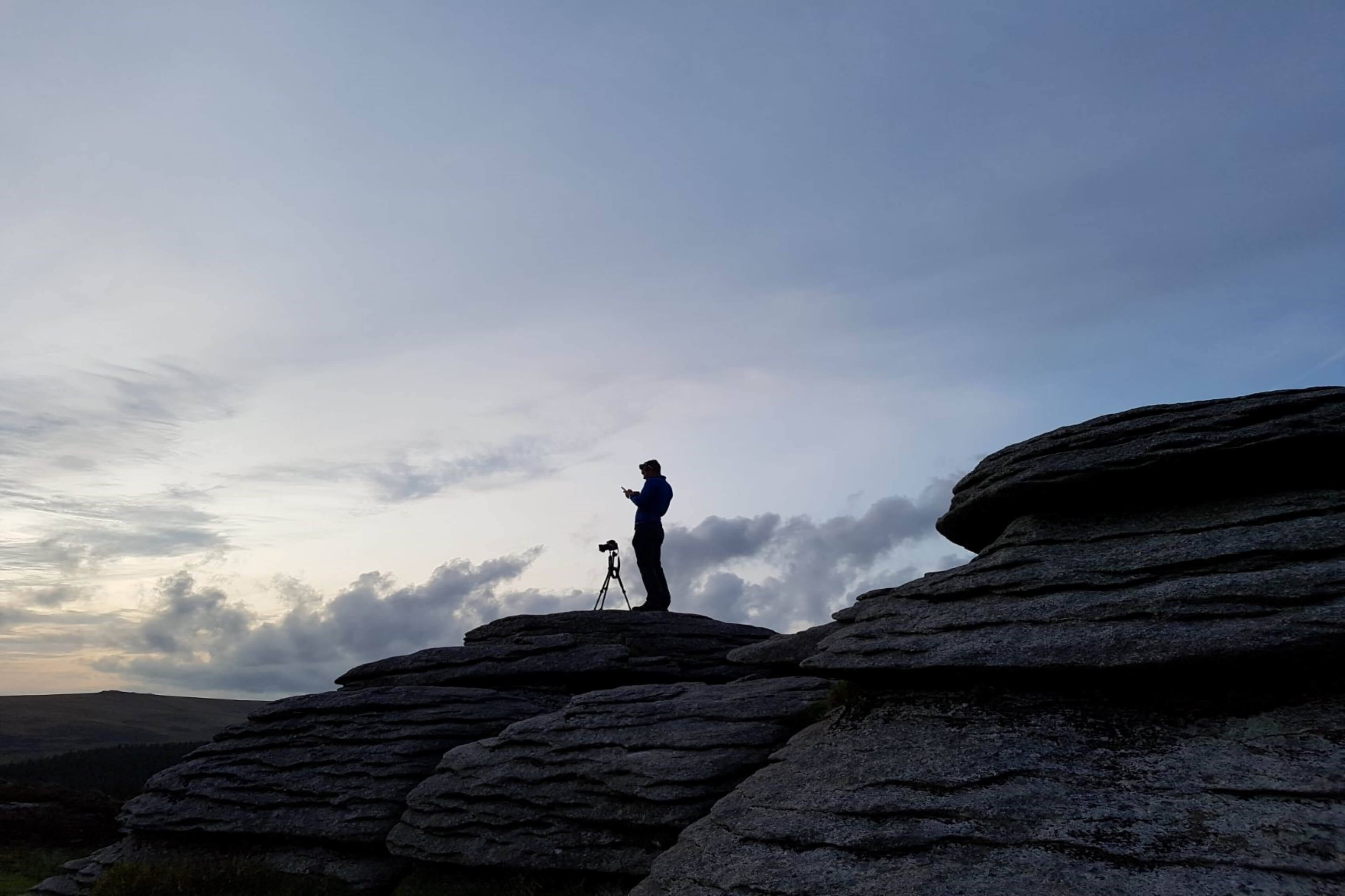
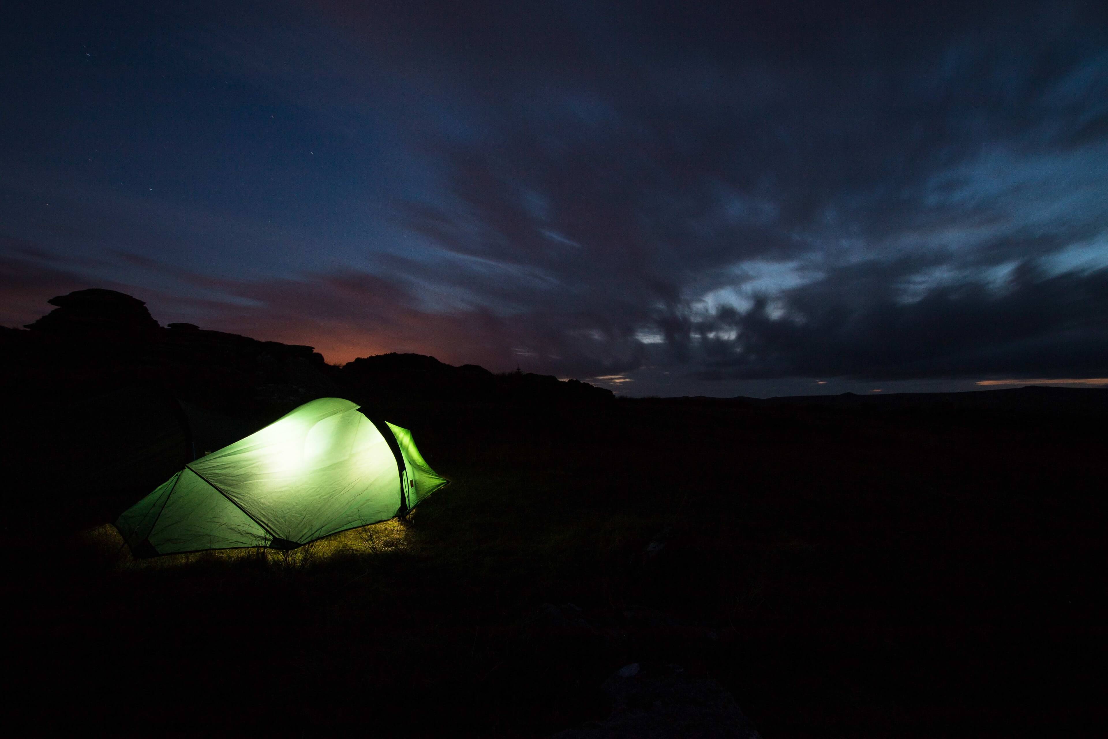
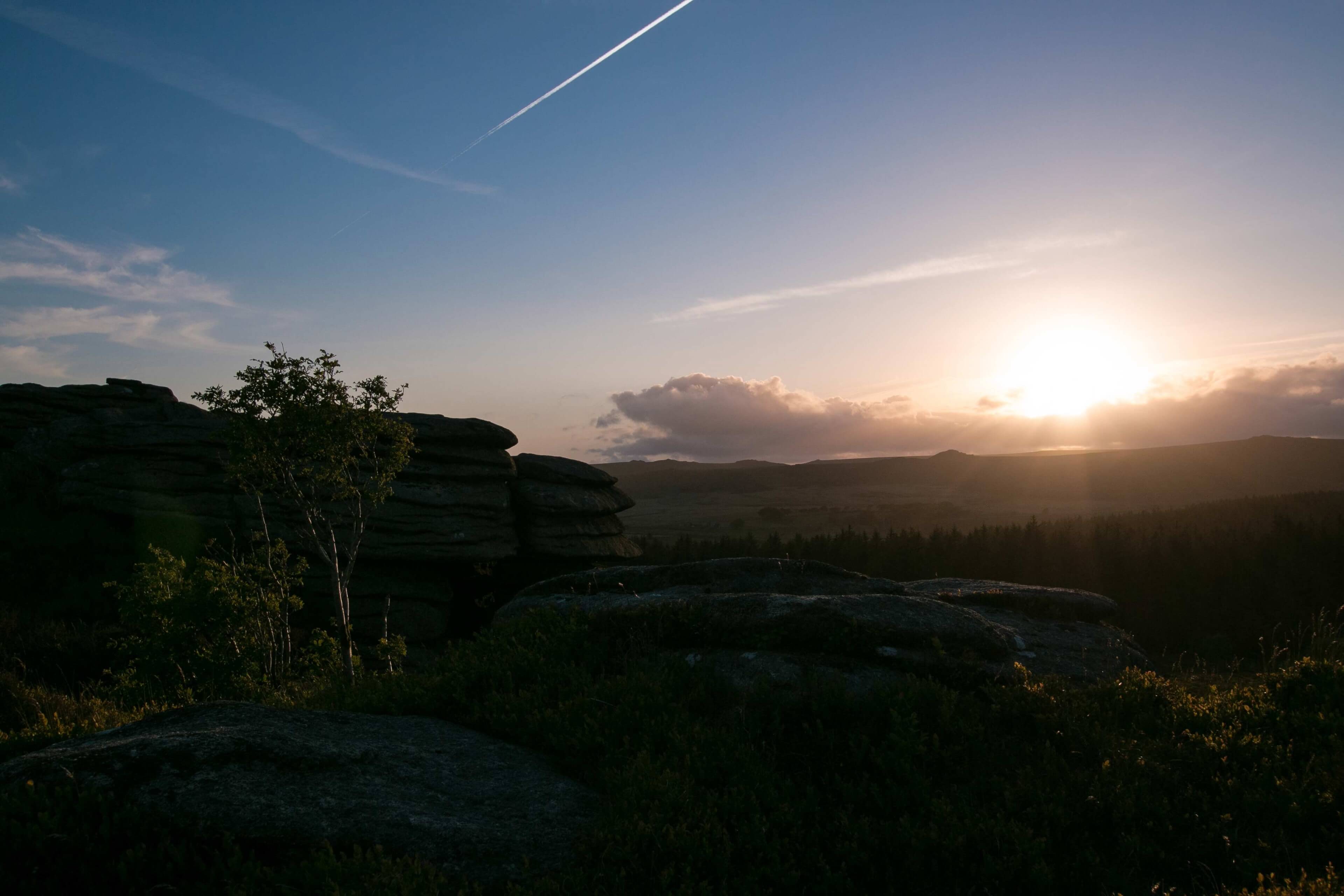
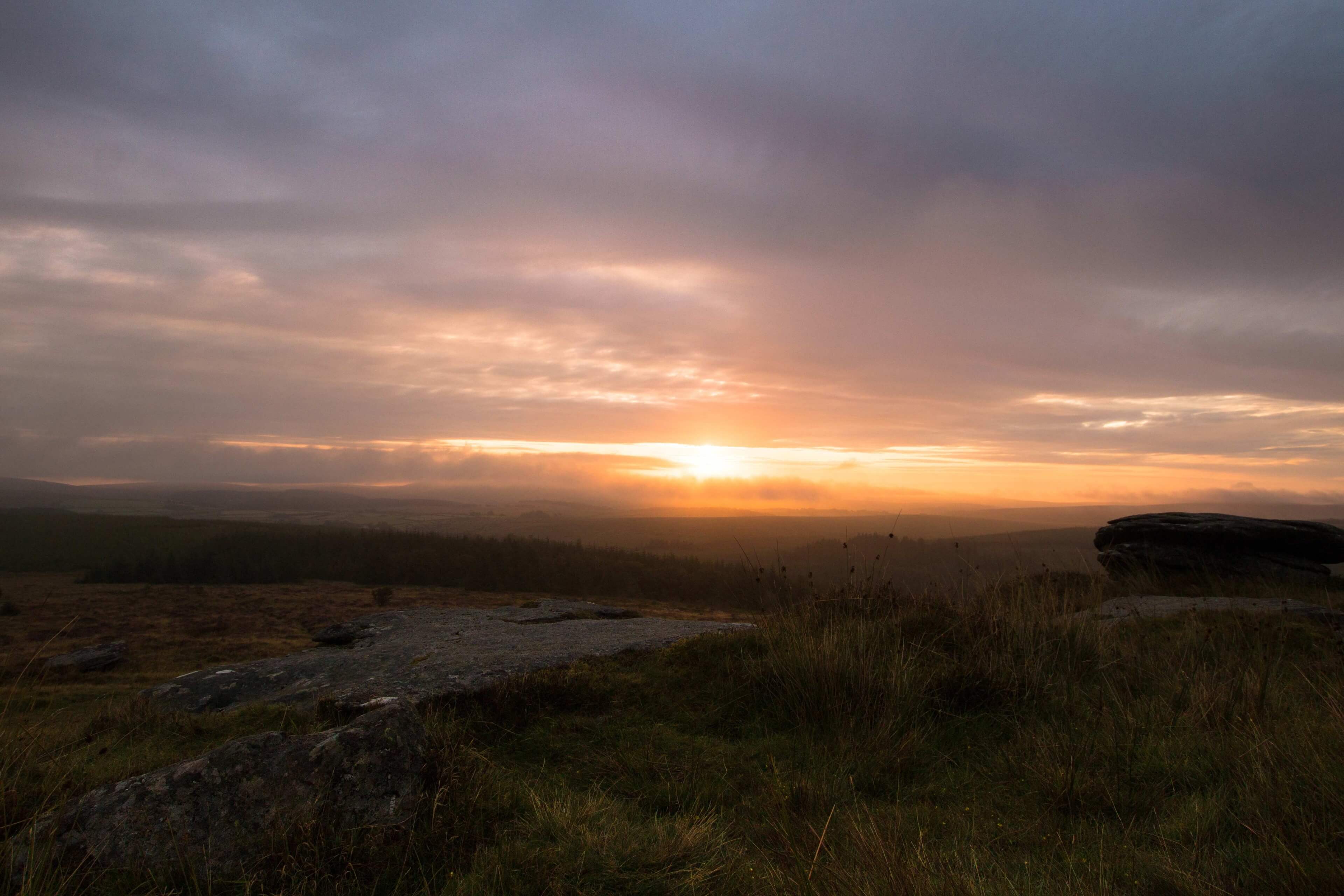
On this particular visit we decided to wild camp around Bellever Tor (There are permitted wild camp areas around the Tor) to enjoy the evenings sunset and sunrise which we got lucky with prior to the rainy weather rolling in around 9am during the actual walk itself!
Yes this time the trail was a wet one but ive done quite a few times before so ive added photos of some previous visits too from summer, autumn and winter as it’s a great trail all year round.
Any questions on the route feel free to message. GPX route also available.