Vestmanna to Hvalvik
Faroe Islands
The trail:
- Location: Faroe Islands
- Categories: Spring / Summer / Autumn / Marine west coast / Highland / Mountain / Foothill / Plain / Coastal / Rural / Sea / Lake / River
- Duration: 3-5 hours
- Distance: 7 miles
Walking the trail:
- Summary: A hike from the harbour town of Vestmanna, across the open countryside of Streymoy to the small village of Hvalvik. A nice simple and relaxing day hike to get familiar with the beautiful Faroe Island outdoors!
After spending 8 days hiking in the Faroe Islands in the summer of 2018, I considered this hike from Vestmanna to Hvalvik to be the least memorable. I dont at all mean that in a negative way, It "Is" a fantastic and enjoyable walk. However the other hikes (also featured on this website) had such utterly crazy and unique landscapes that this hike felt somewhat "normal". Put it along side walking anywhere else then it stands up there with the best. That is really a compliment to just how amazing the landscapes of the Faroe Islands are.
Sorry, total injustice, I should start again! This is a great introduction trail to walking in the Faroe Islands and I would definitely recommend it for anyone wanting a fairly straight forward short walk into the wilderness of low level mountain passes. With so many of the countries feature hikes now requiring fees/guides to walk, this is actually now a little gem as its still free to access the countryside between Vestmanna and Hvalvik. The transport links are also easy for this as you can get a bus to both start and finish so whether you are using public transportation or hiring a car the logistics are easy, unlike say the hike from Tjornuvik to Saksun.
I was staying in a guest house in Midvagur the day I walked this trail so it was an easy jump onto bus 300 and a change onto 100 to get to Vestmanna. (The route is easier to start at Vestmanna in my opinion as the initial walk up the hill and route finding will be easier than from Hvalvik.) Its also worth noting again (as previously mentioned in my other trail features) The bus network is very good and efficient so I would absolutely recommend the weekly bus pass you can buy. It worked well for me hiking and is approx 700DKK for a 7 day pass.
Link to the bus network schedule as follows:
https://www.ssl.fo/en/timetable/bus/100300-torshavn-vestmanna/
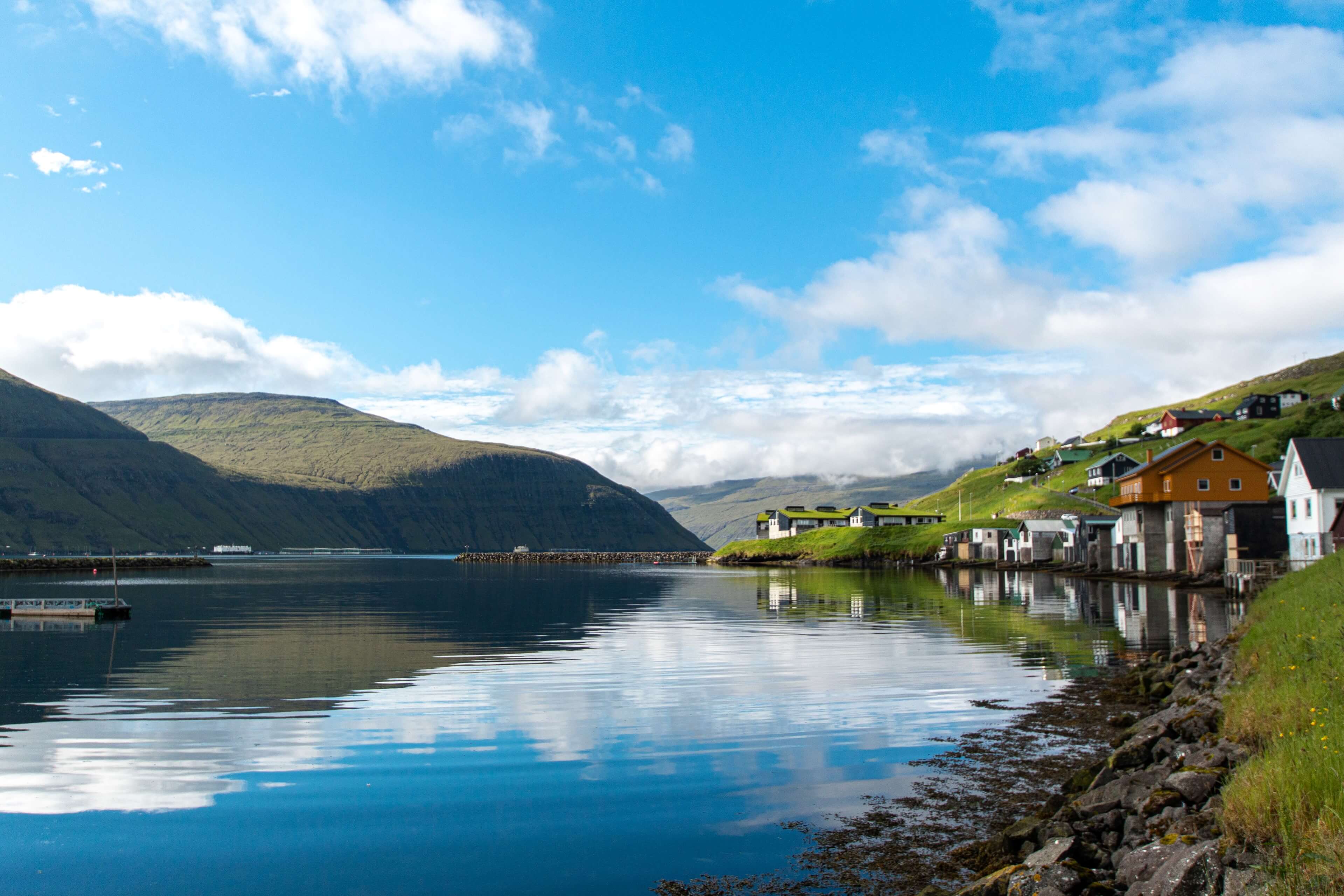
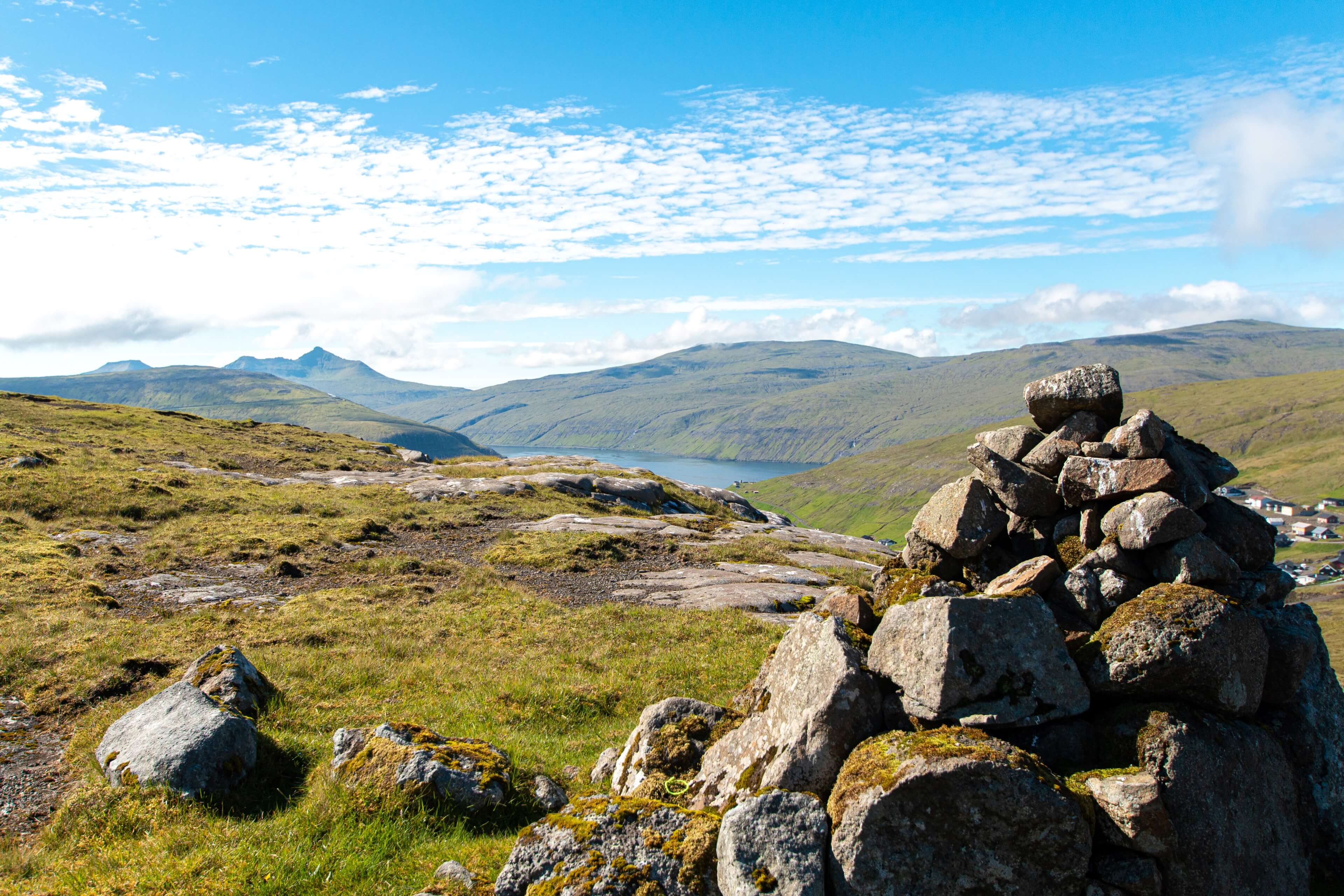
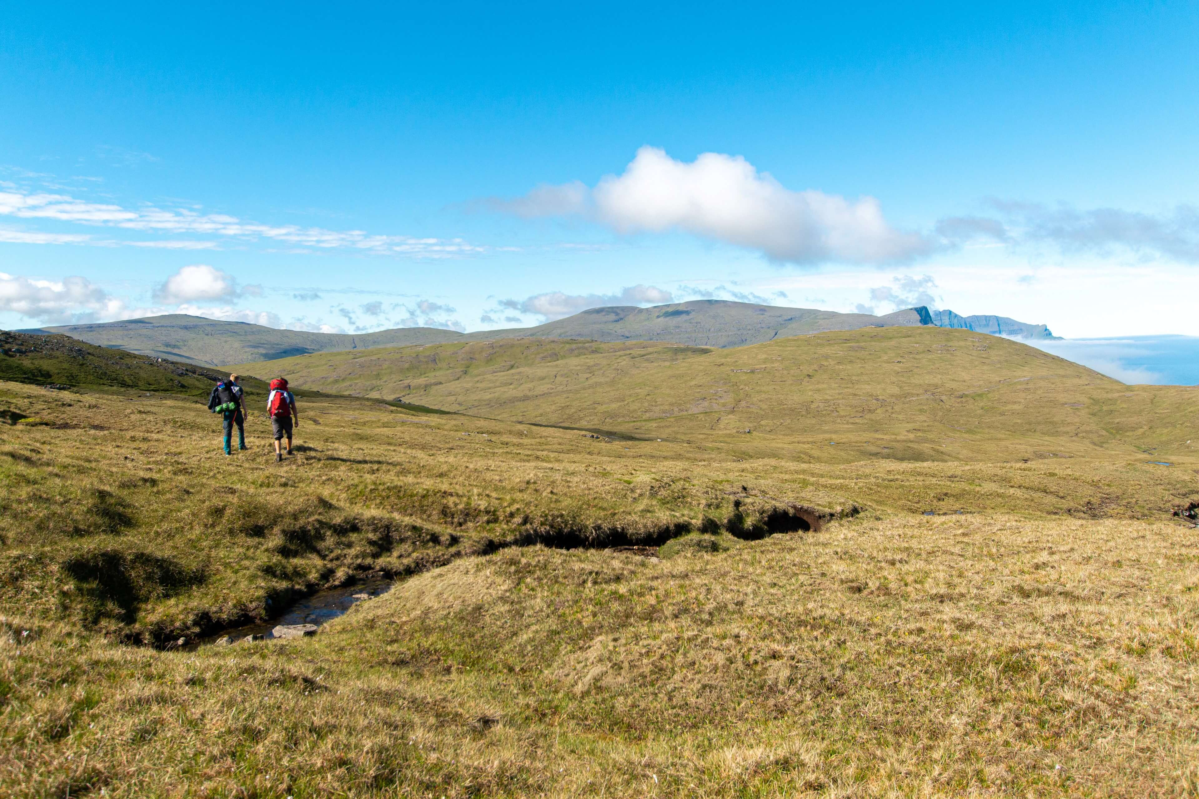
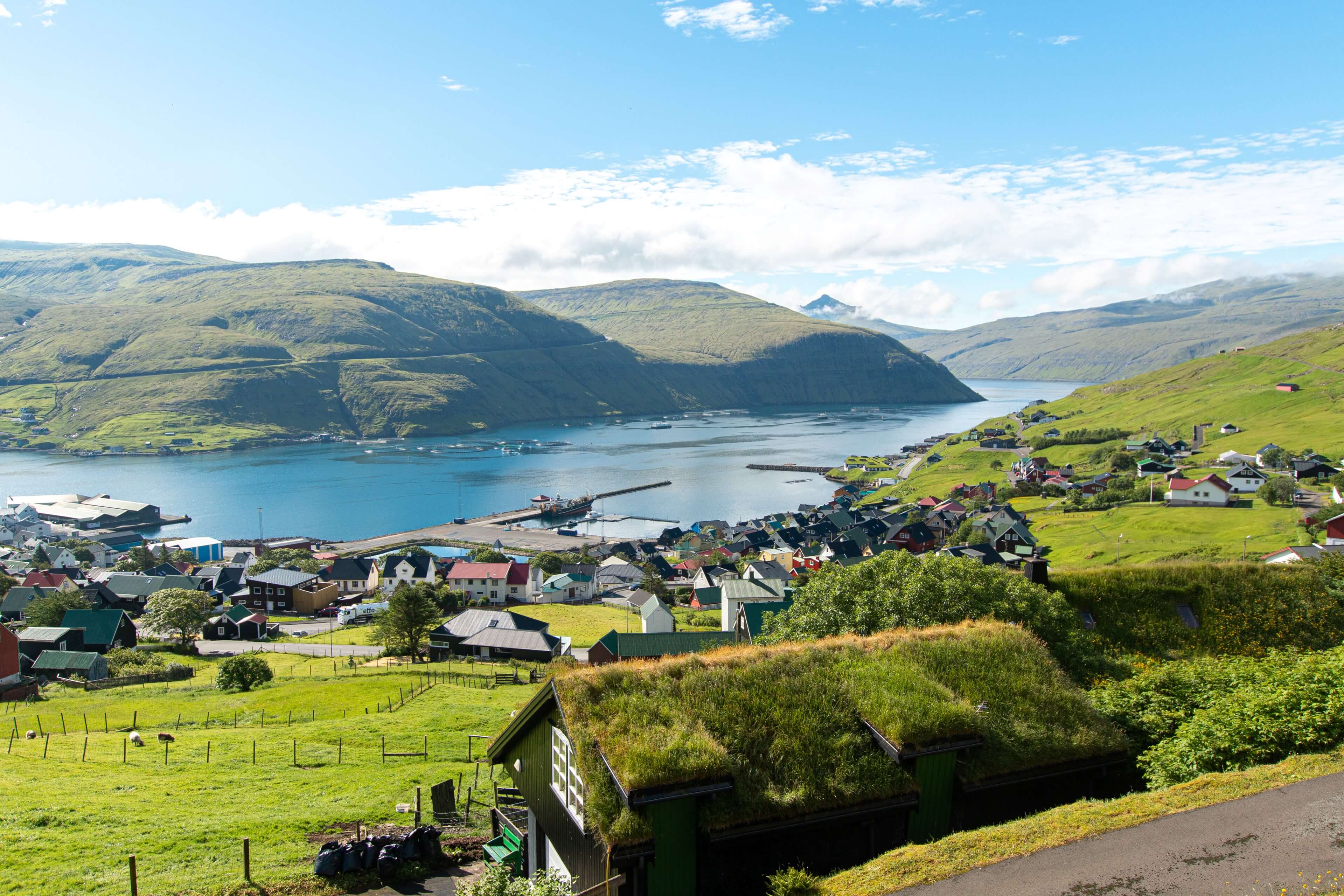
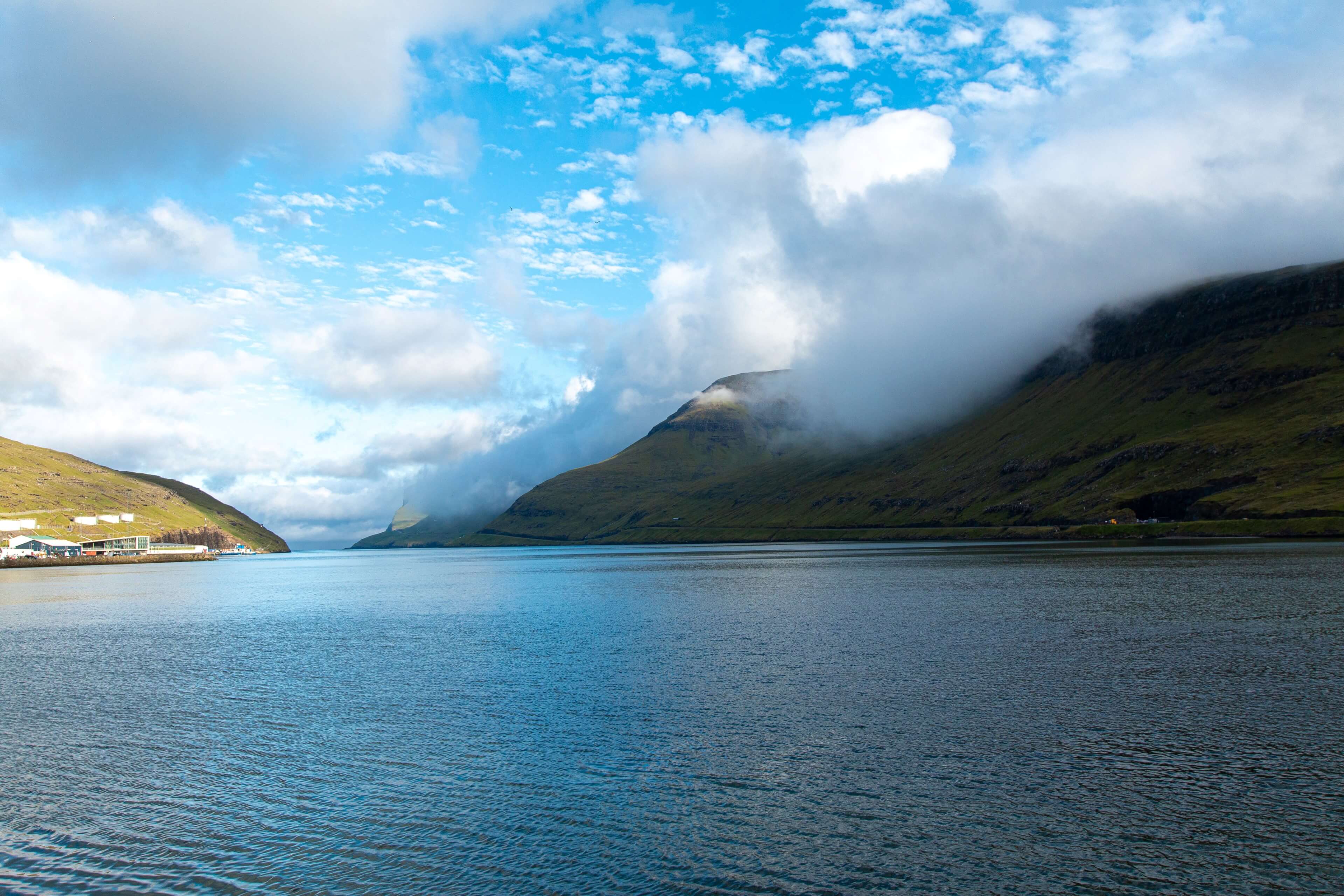
The weather was perfect on my arrival to Vestmanna, clear blue skies and a nice average temperature of around 17 degrees which suits me fine for hill hiking! Vestmanna is a coastal town on the west coast of Streymoy. Its very popular for tourist boat tours that head to Vestmannabjørgini, steep cliffs to the north that are home to thousands of seabirds, including puffins, fulmars and guillemots. The first section of trail takes you through the town climbing the hill roads until you come to the top of the hill where you have some great view across the town and the harbour. Theres a few tracks once out of the town but the route to take is across the small river and straight out north eastwards into the hilly/mountain wilderness. It doesn't take long before Vestmanna is a distant memory and you are basically in the middle of nowhere. You do get some cracking views west of the cliffs of Vagur around the deserted old settlement of Slattanes. You slowly work your way uphill. (very gradually) I passed a couple of Norwegian guys around here who had done some camping on the hills that night, a perfect place for a bit of wild camping for sure.
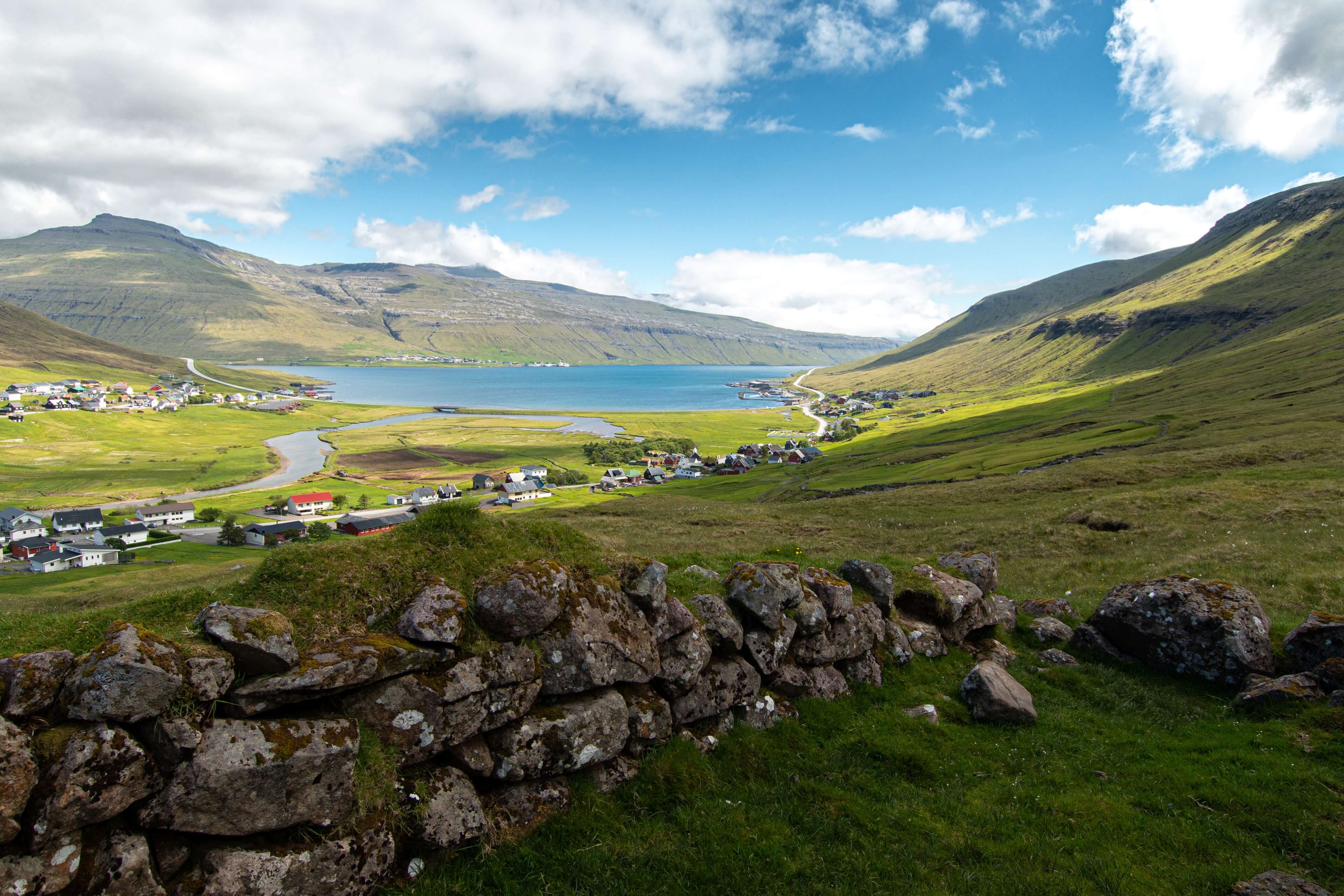
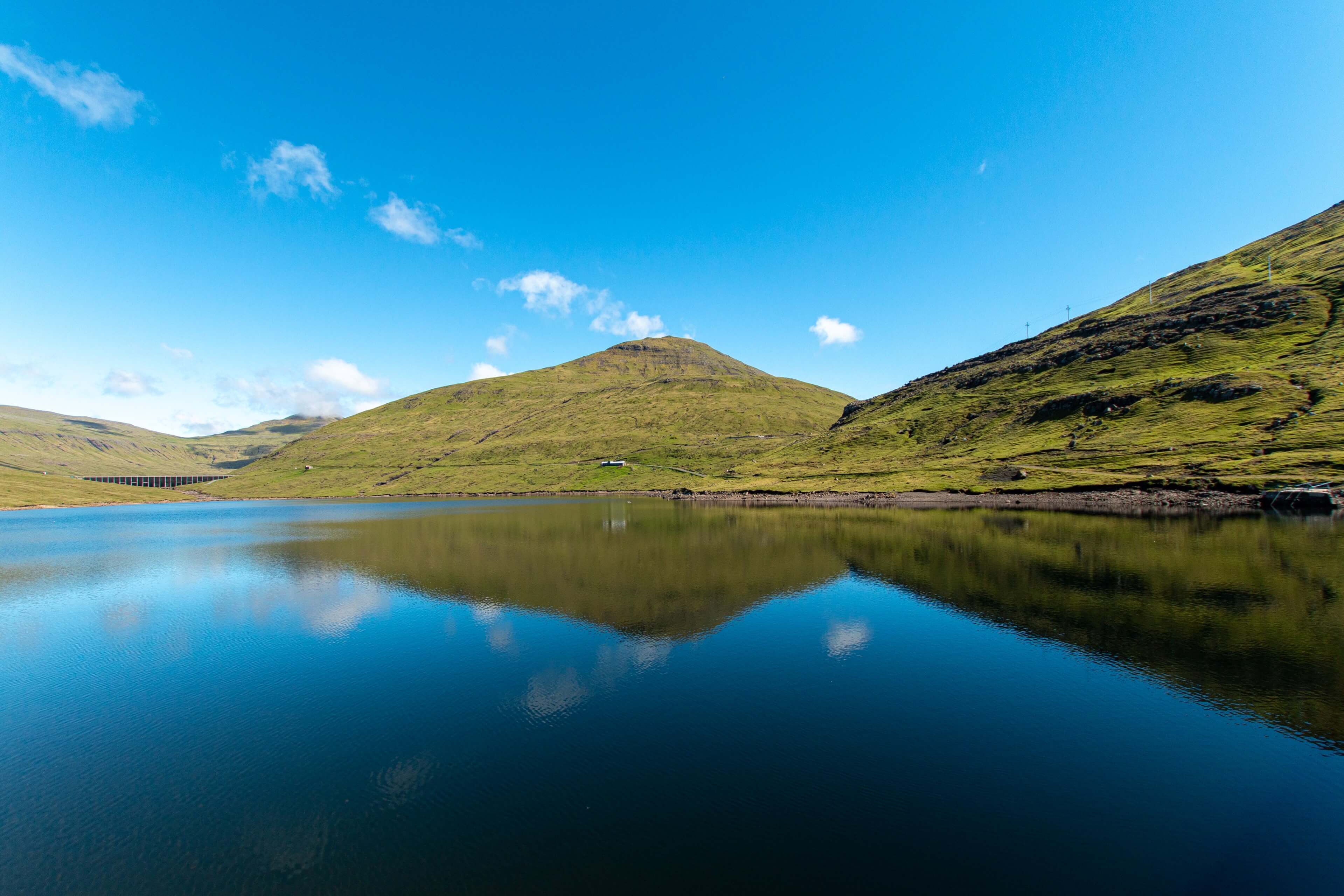
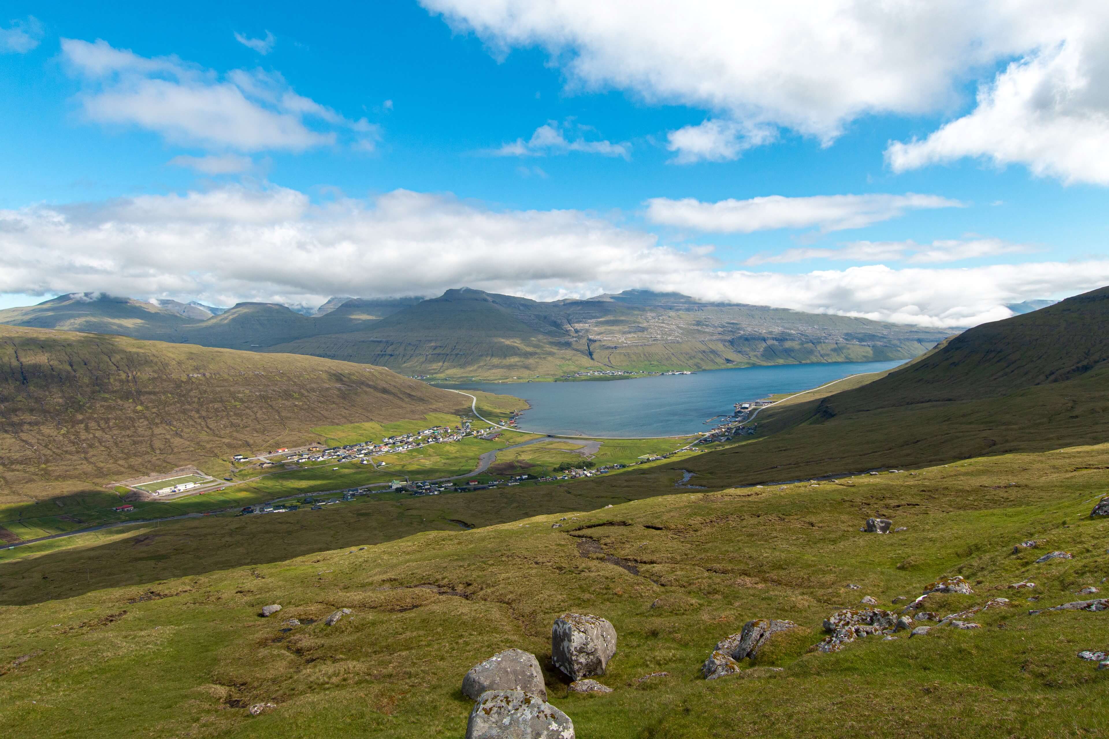
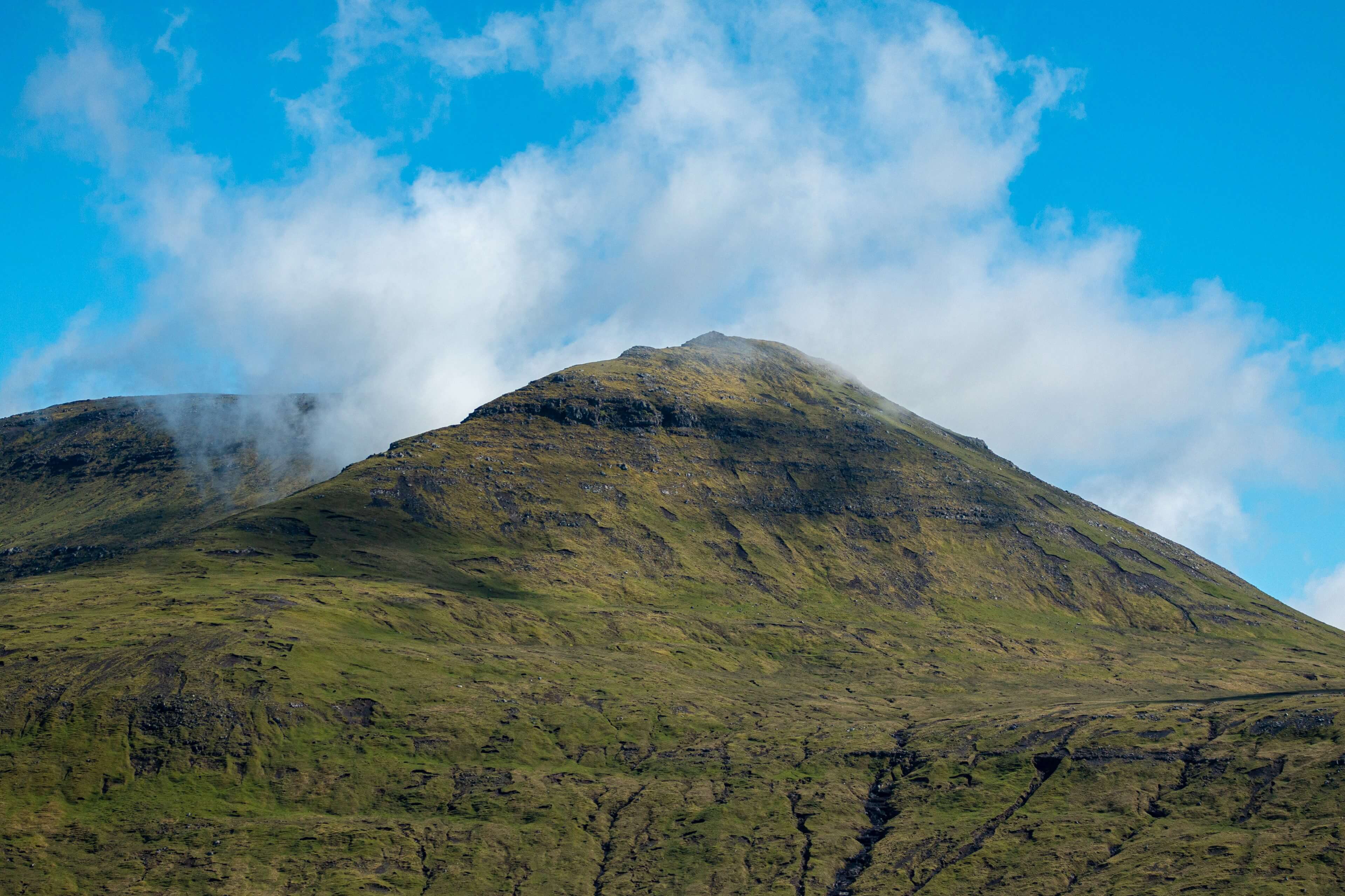
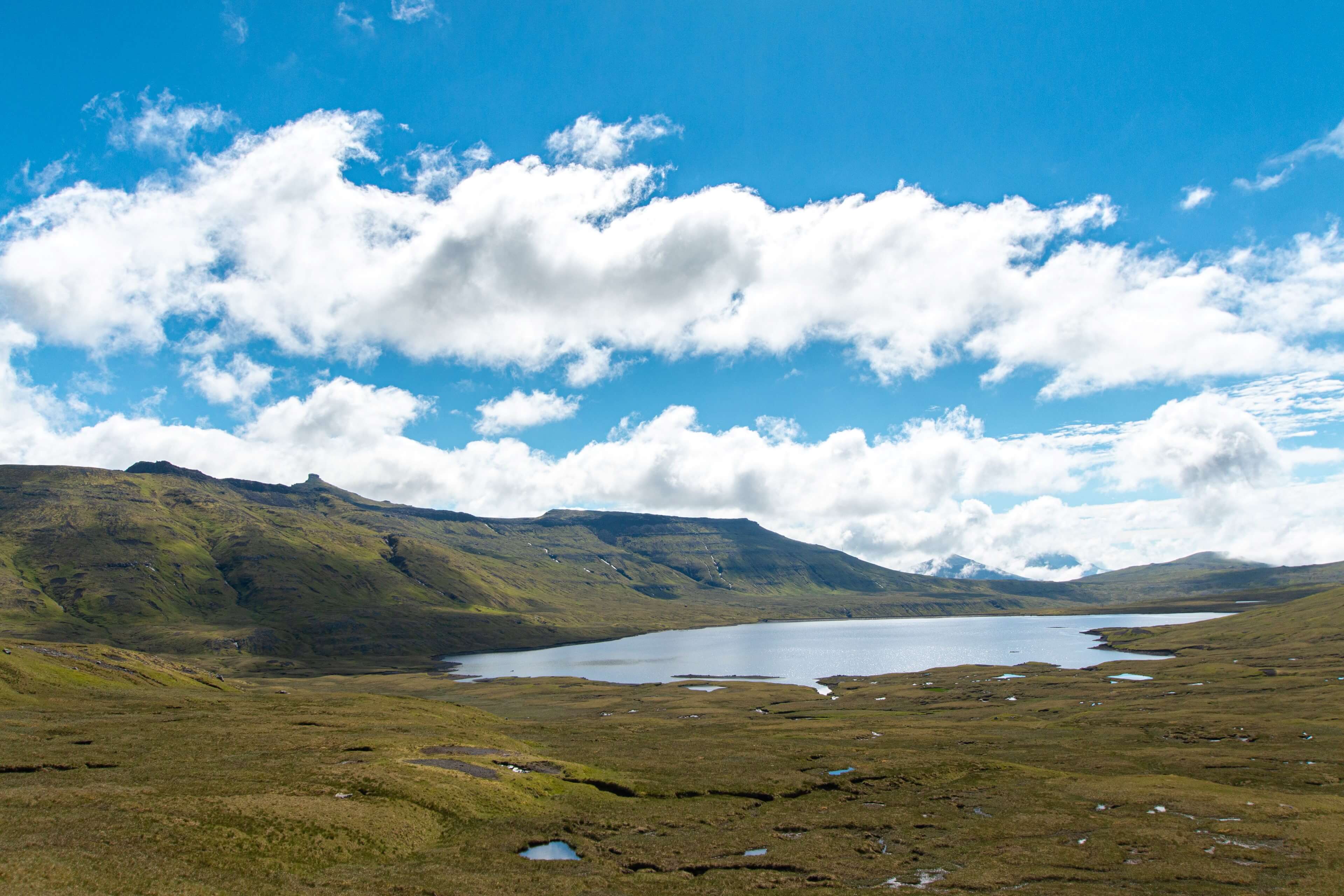
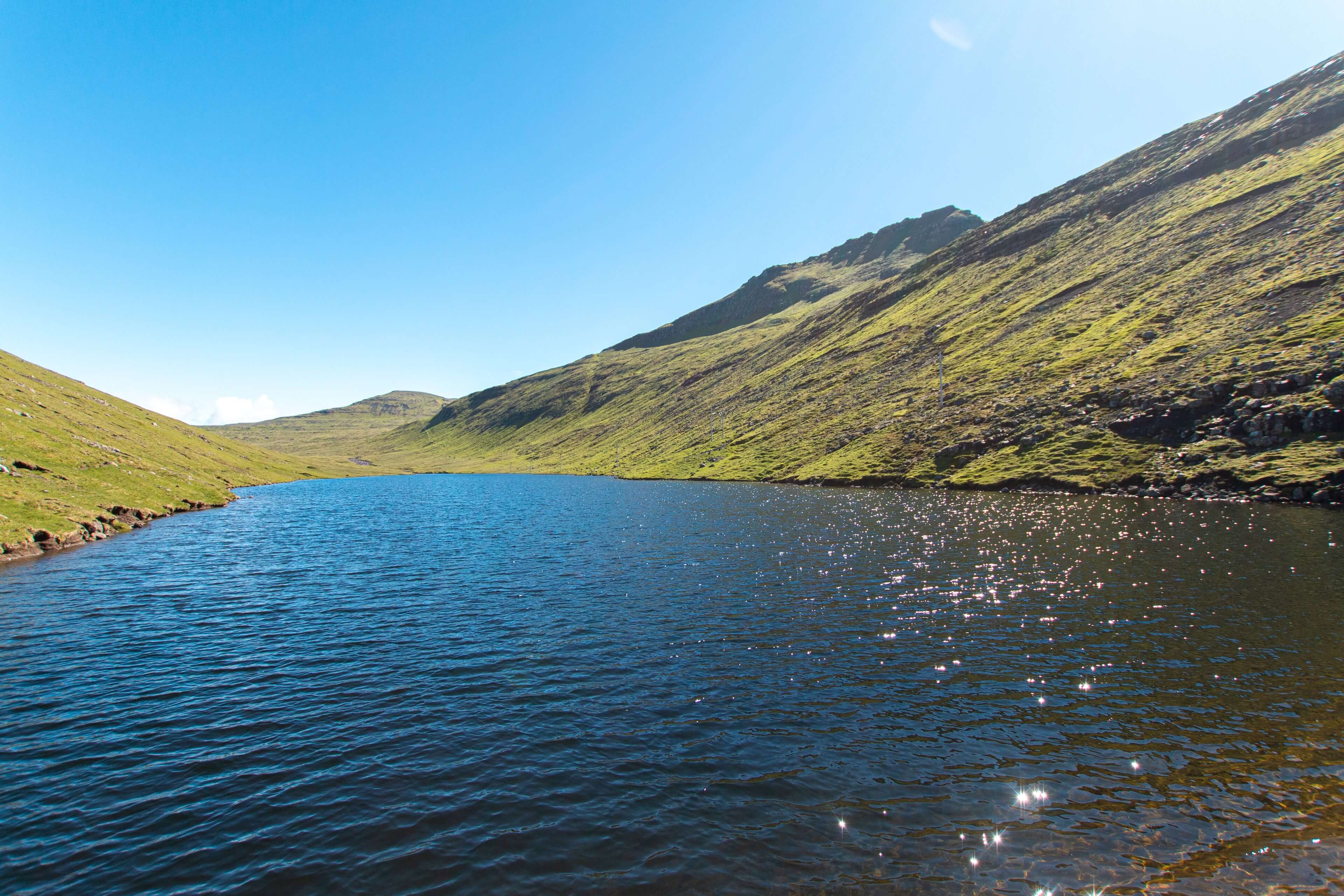
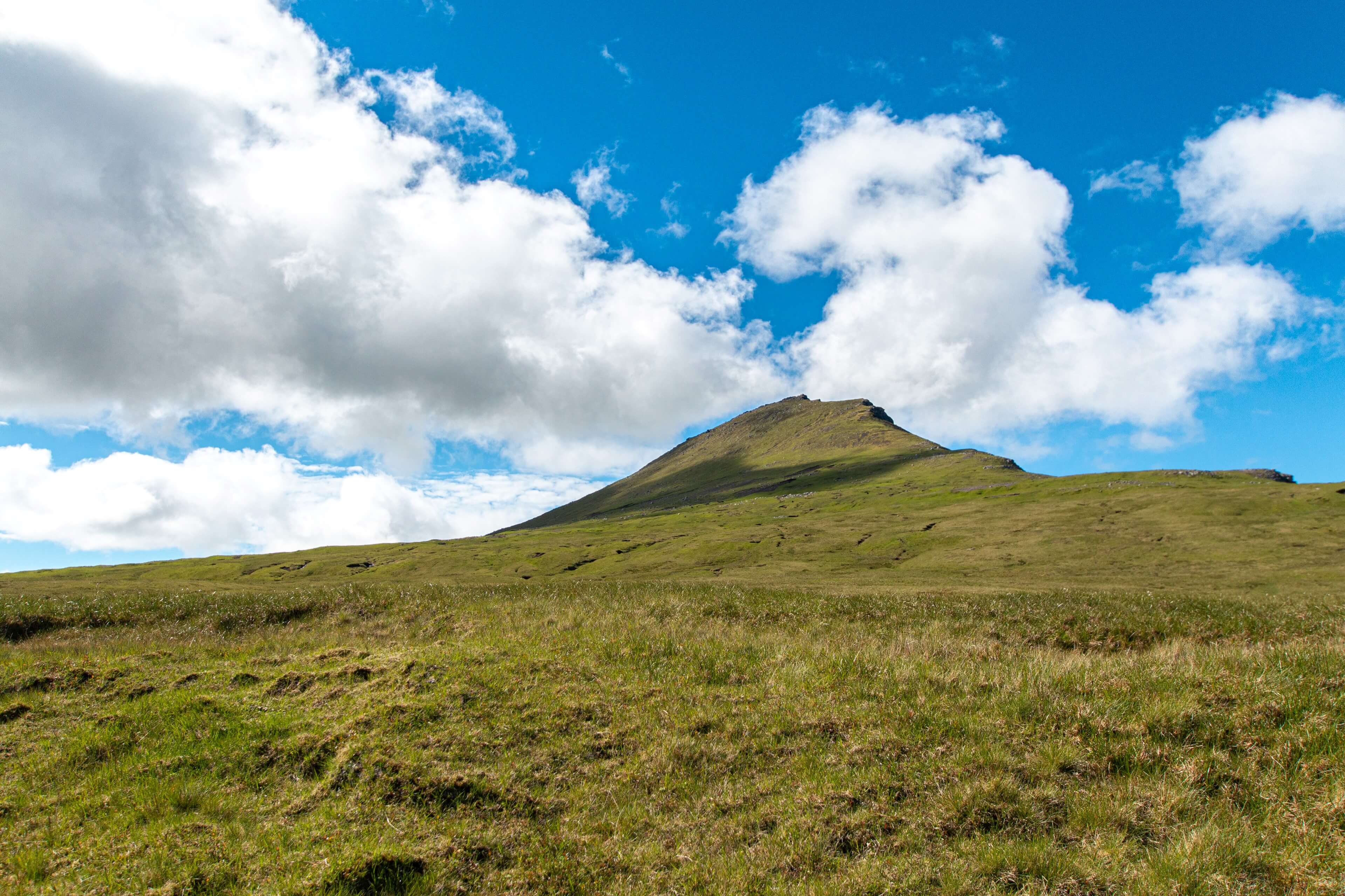
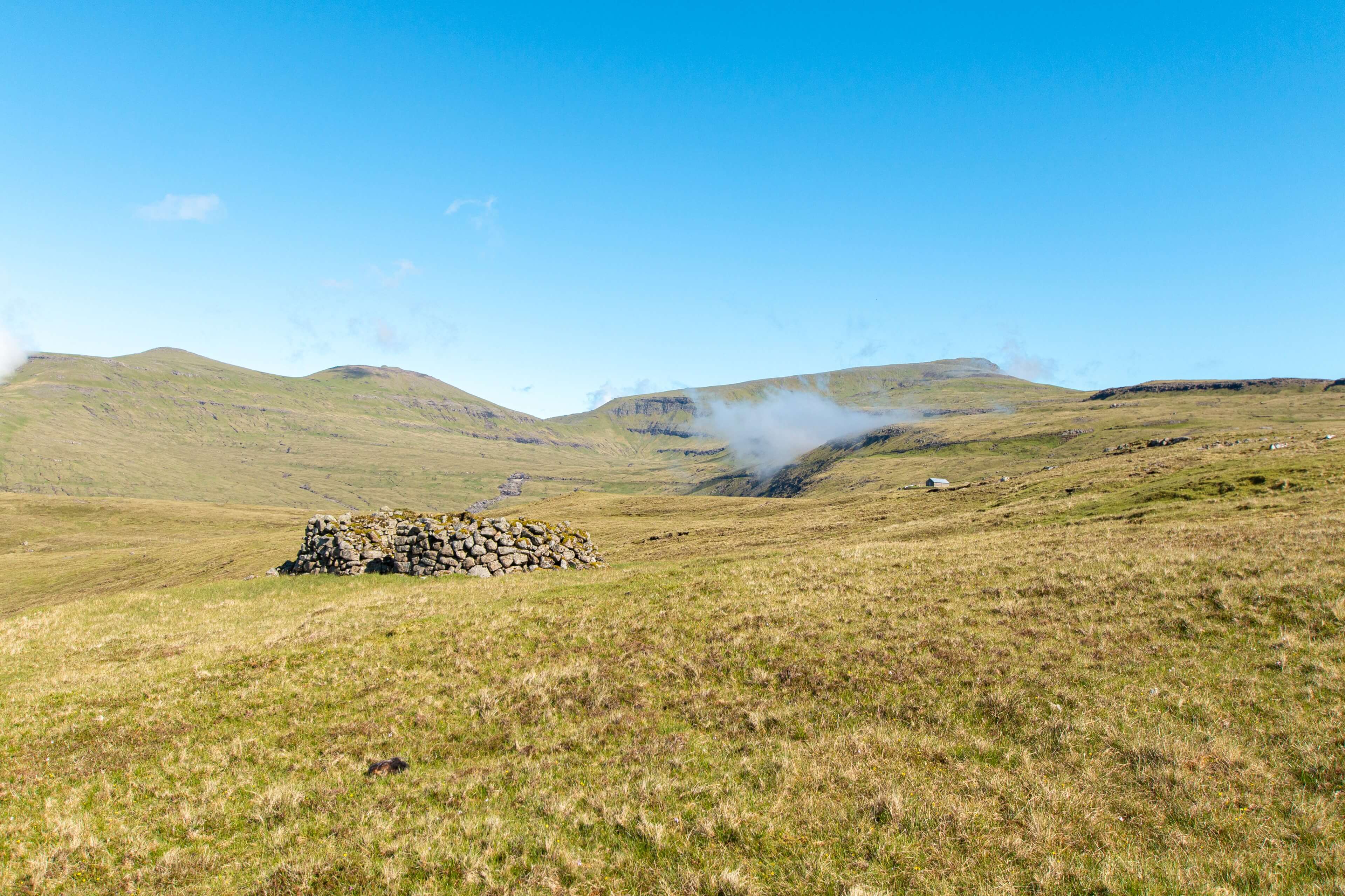
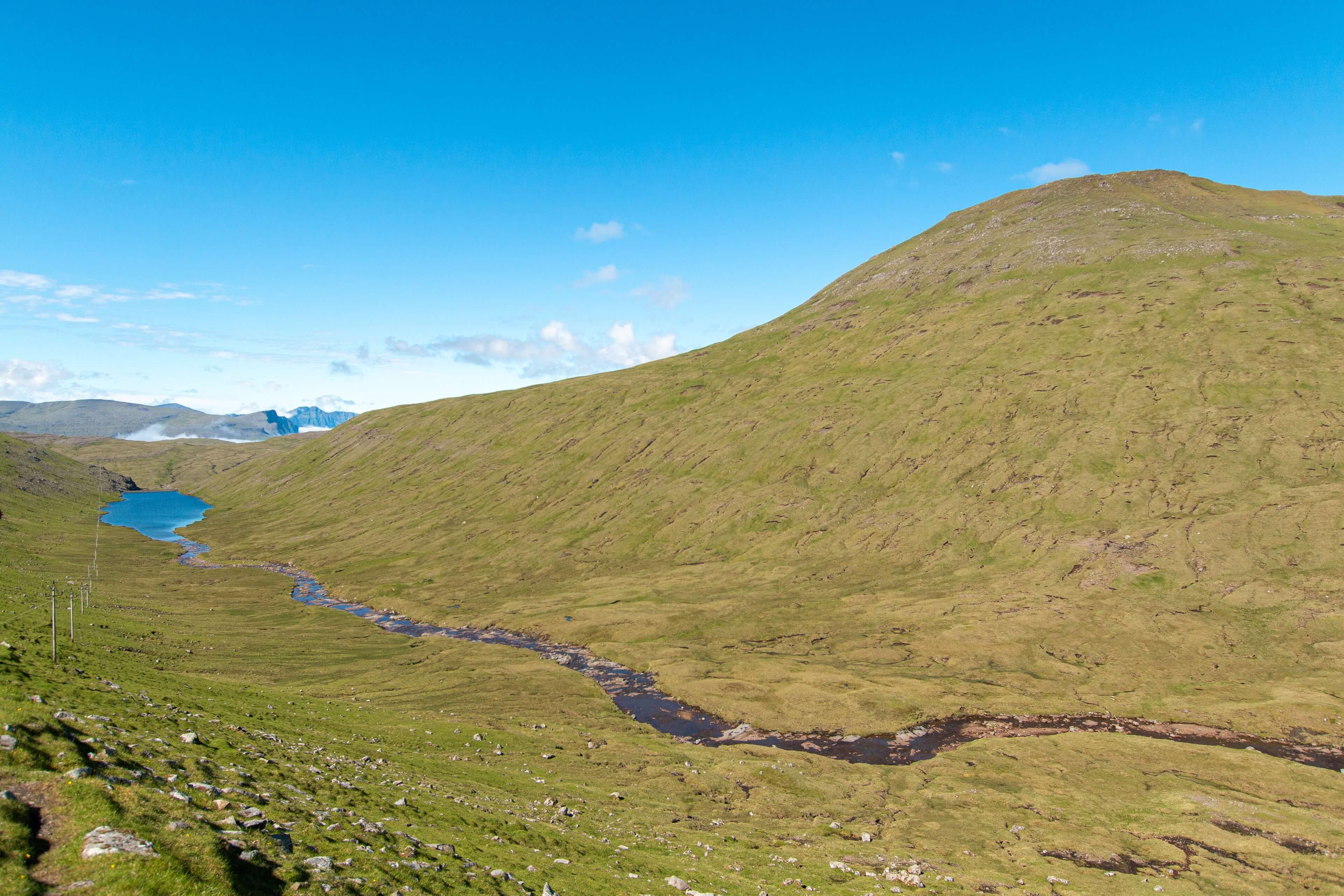
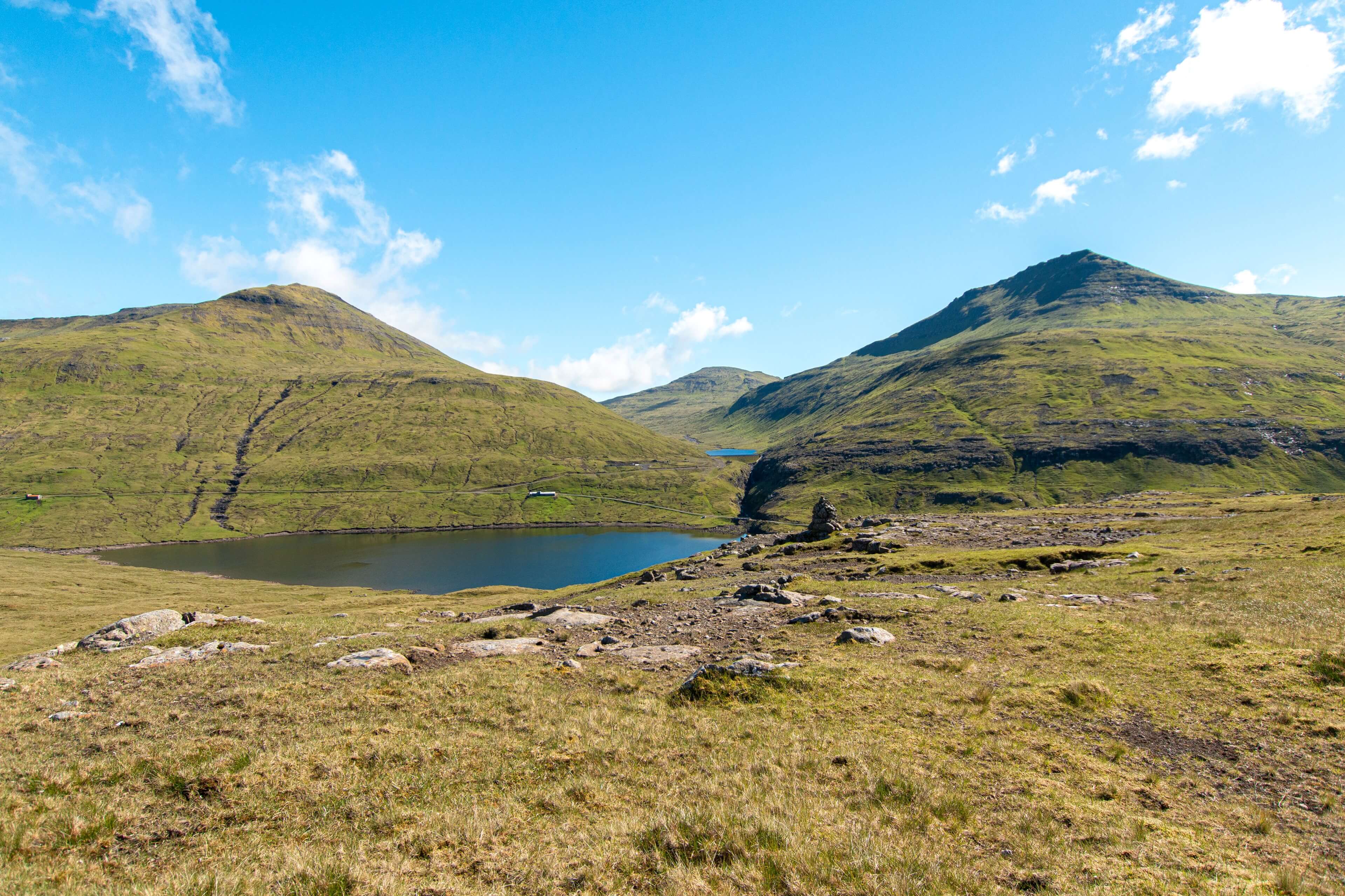
After an hour or so you will see the first dam built in the Faroe Islands in 1960 for SEV hydro electricity. The route goes down to the reservoir and then follows the power lines back up the hill which go all the way to Hvalvik. Once up the hill you are in the incredible valley of Saksunardalur which is the longest valley in the country. The views are awesome here with various mountain summits in all directions and the massive lake of Myranar to the south. I stopped here for lunch as it was a perfect spot to get the drone out. However (as normal) as soon as the drone got up in the air all the local bird wildlife decided it was a play thing to chase so for their safety and the safety of the drone I brought it back fairly quickly! My favourite mountain peak was Sneis sitting at 747m with its rather striking pointed peak
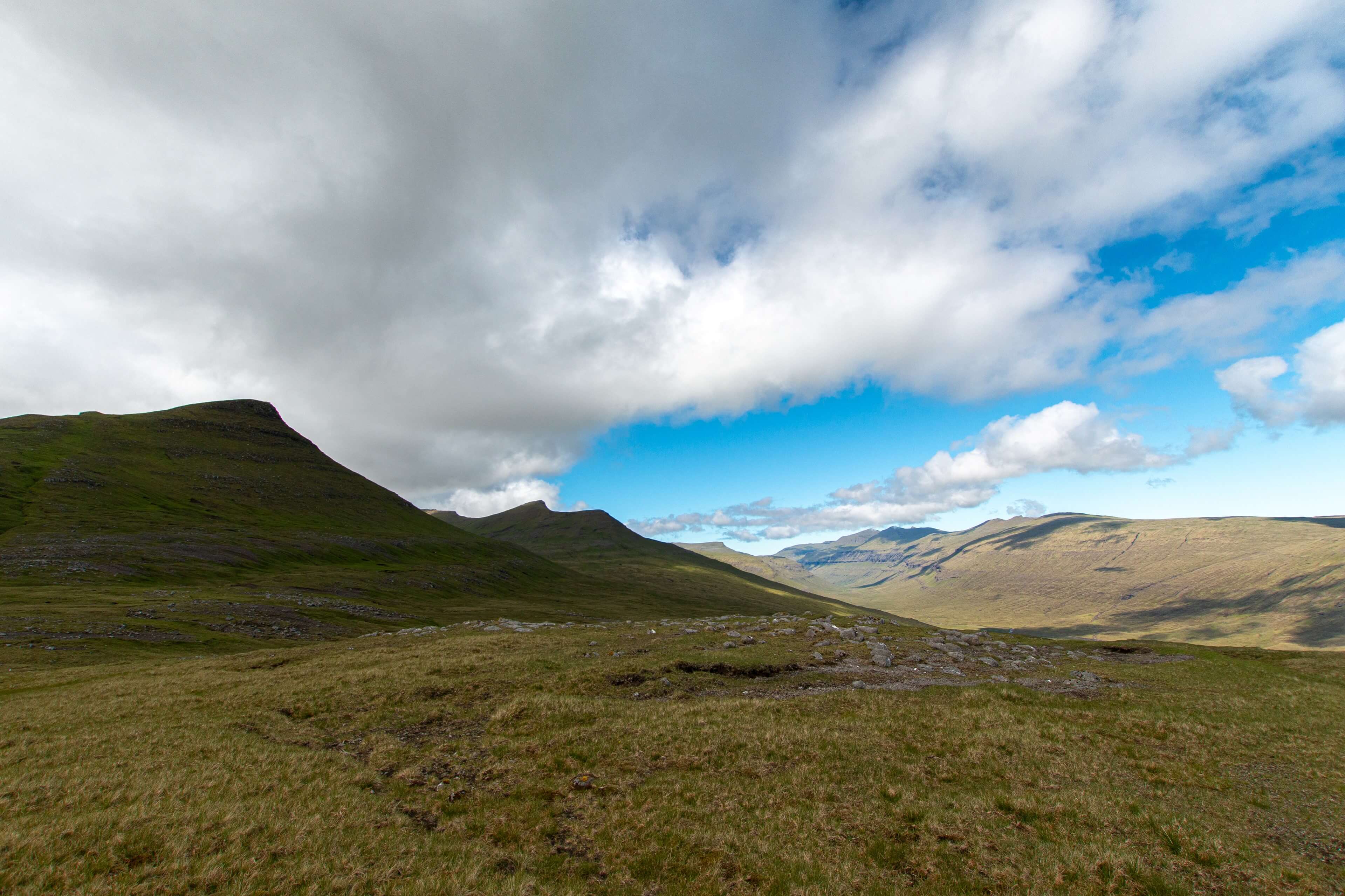
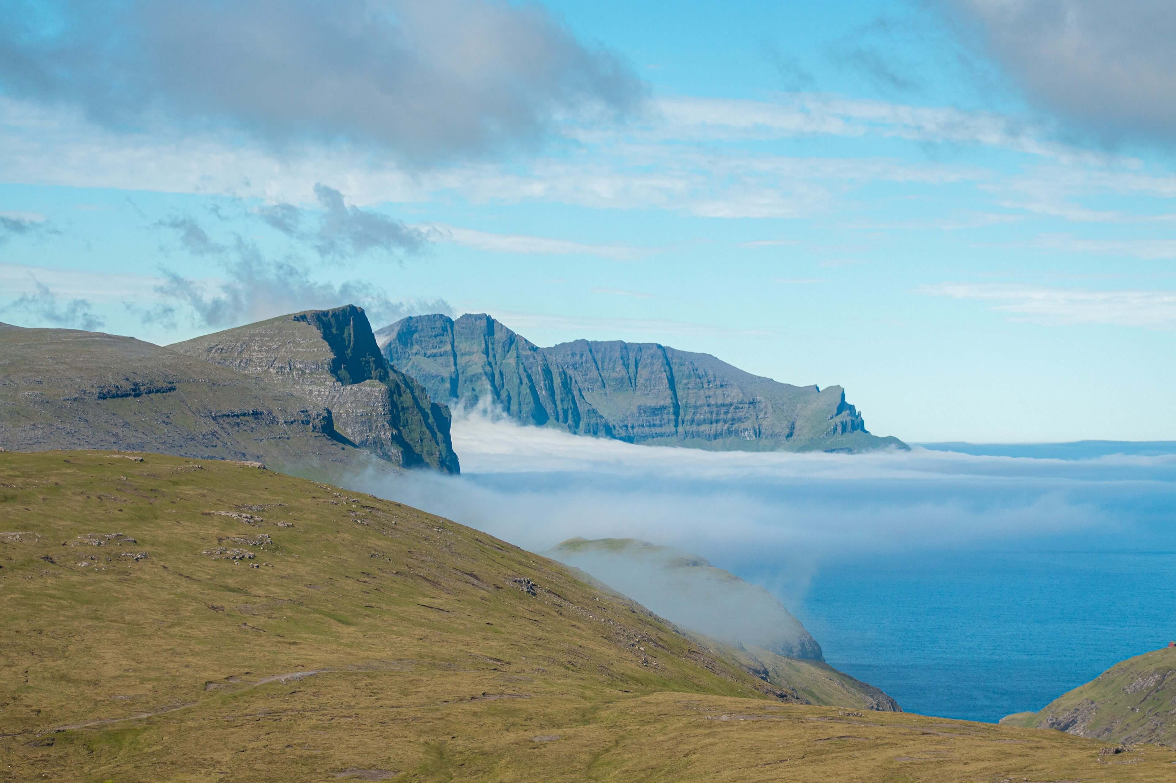
As you wind you way through the valley and past the peak of Midalfelli (596m) to your left, you get a glimpse of the long valley road to the north west that goes towards Saksun. You now start descending towards Hvalvik which becomes fairly steep and quite difficult to navigate. I had my GPS watch on but generally felt there was no real indication of a route to follow so just made my way down as best as possible. Hence why I feel its best to descend this section as it was get quite tough going. However I may have missed an easier path, which is quite likely! Do remember the Faroe Islands do not have the same quality of footpaths as other countries. Its wild, just like it should be!
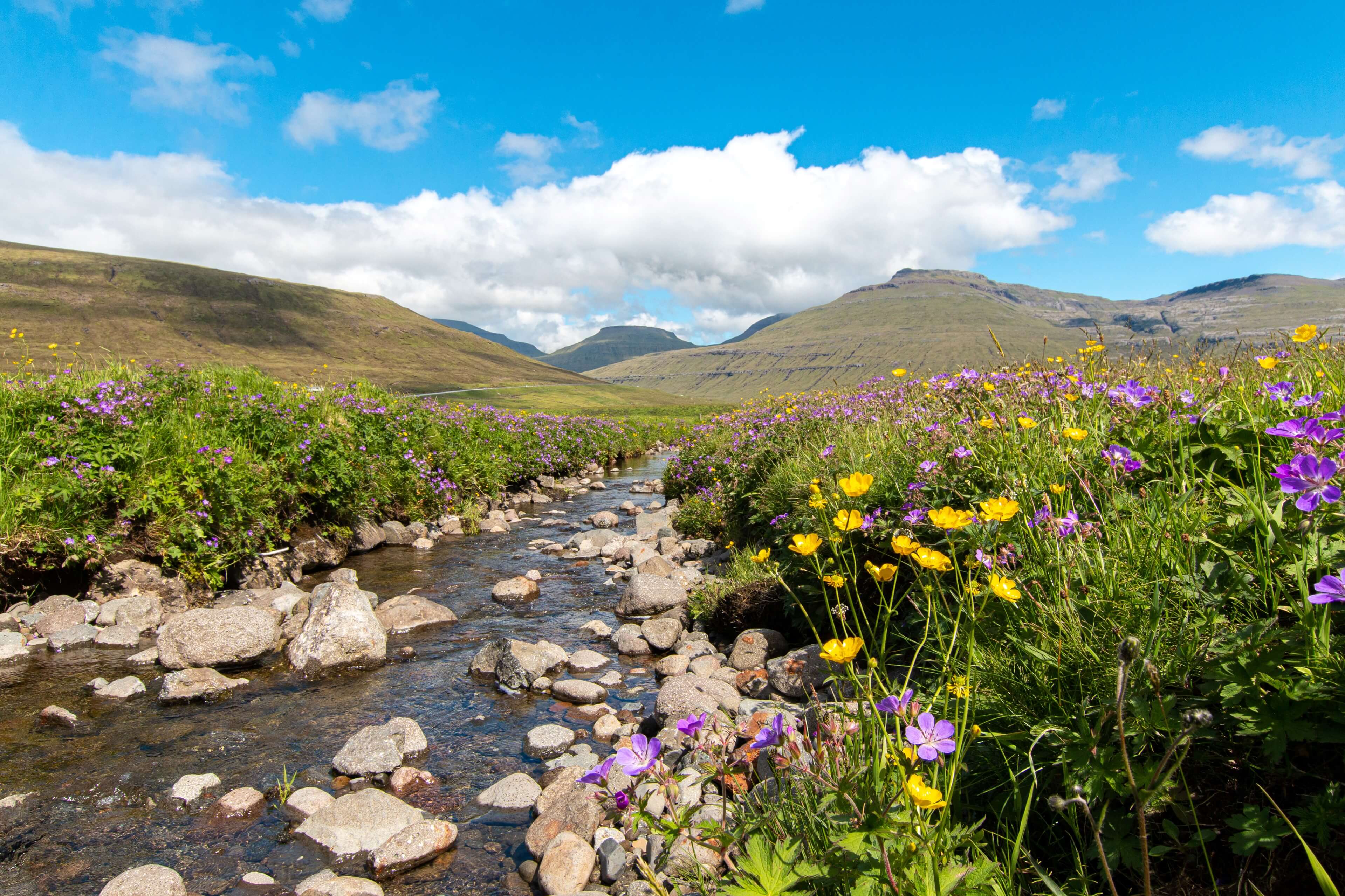
Finally I arrived in Hvalvik and made my way to the bus stop via the really beautiful flower lined river Hala where i stopped to film a section of time-lapse.
Its funny as I was writing this feature, I remembered more and more things that I loved about this trail. I guess the great open wilderness was the highlight and being quite short for a day out there is absolutely no rush to get from start to finish. If you are going to the Faroe Islands I would thoroughly recommend doing this walk. It isn't easy as such as there are some climbs and uneven descents but for moderately fit people it will be fine. Overall its a fantastic 7 miles across a beautiful section of the Faroe Islands.
If you have any questions please feel free to ask. GPX file also available.