Ben Macdui
Cairngorms National Park, Scotland
The trail:
- Location: Cairngorms National Park, Scotland
- Categories: Spring / Summer / Autumn / Winter / Tundra / Highland / Mountain / Foothill / Plain / Rural / Lake / Stream
- Duration: 6-7 Hours
- Distance: 12.5 Miles
Walking the trail:
- Summary: Head up to the UKs second highest mountain standing at 1309m high. An adventure into the vast mountain expanse of the Cairngorm National Park with fabulous mountain views in all directions. Just remember your map and compass and enjoy a day of relative isolation compared to more popular and touristy mountains.
So, you've walked up Ben Nevis, the UKs highest mountain. (I'm assuming most mountain lovers have) But have you walked up the UKs second highest mountain Ben Macdui standing at 1309m? Chances are not as likely as it is just not marketed in the same way the rather touristy Ben Nevis is. Whilst Ben Nevis has a clear tourist path to make proceedings fairly simple (unless in really bad weather and winter) the route up Ben Macdui is far more exposed, lacks clear paths and has the potential to be extremely dangerous in bad weather if navigation is not on point. Sounds fun right!?
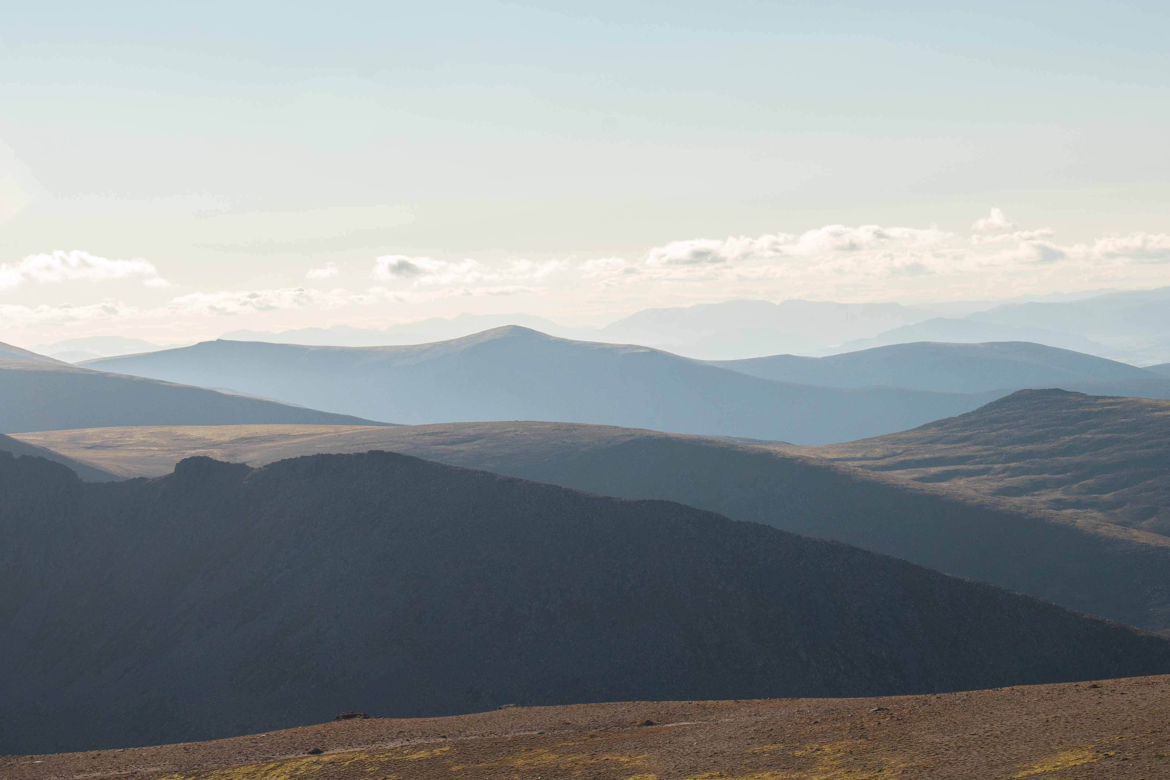
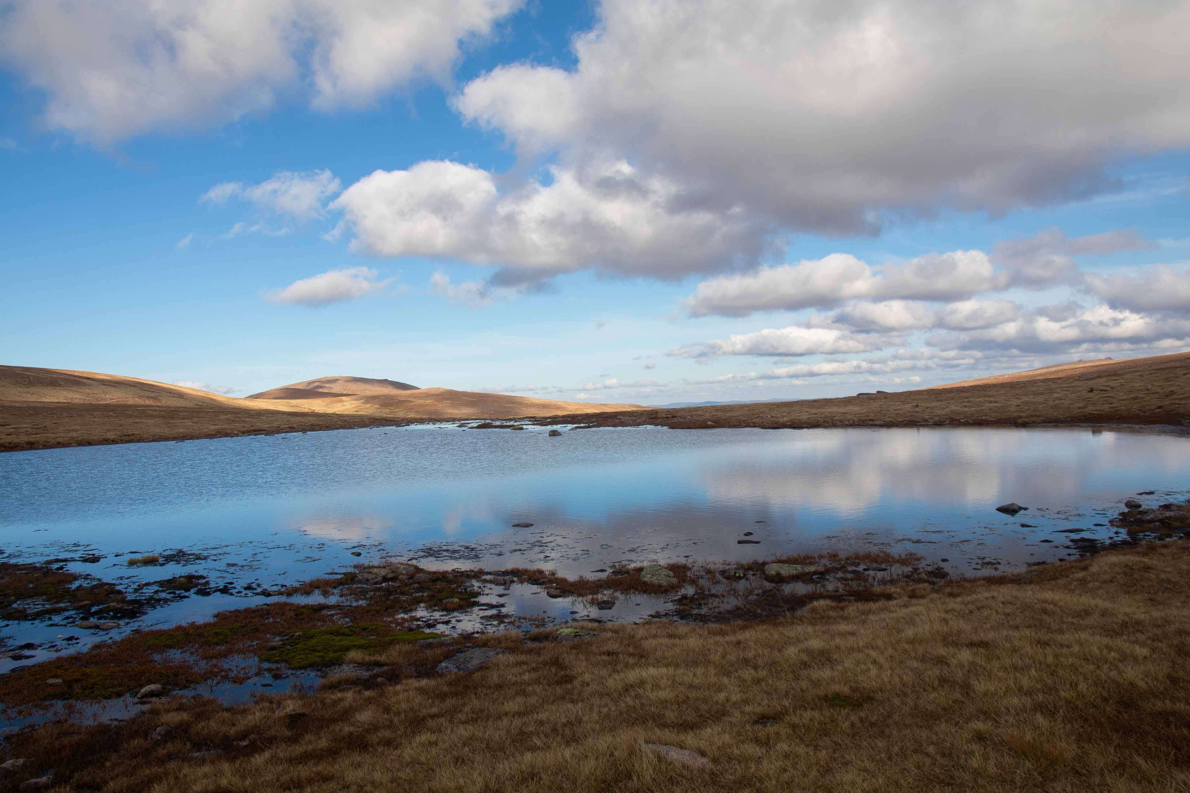
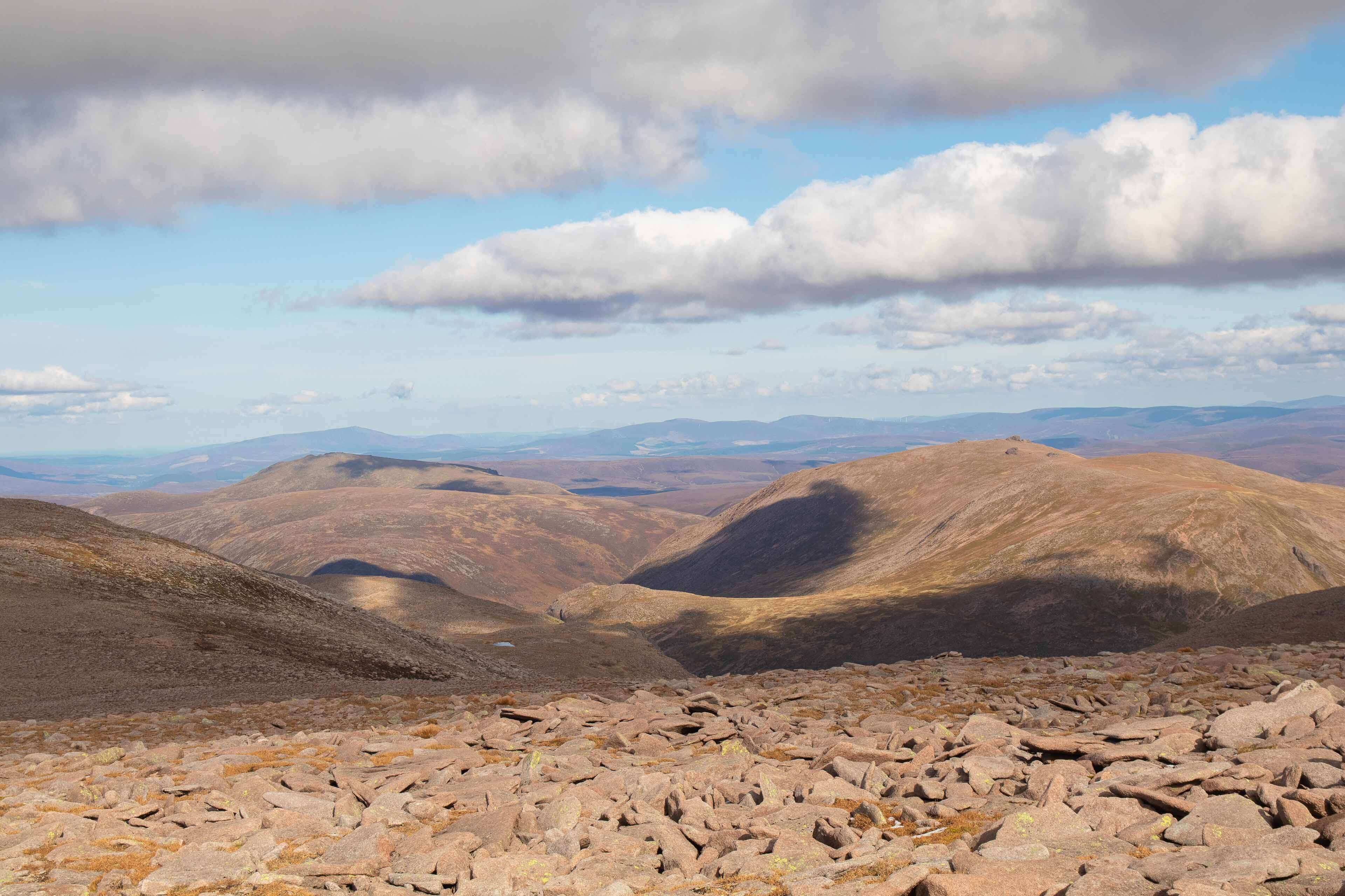
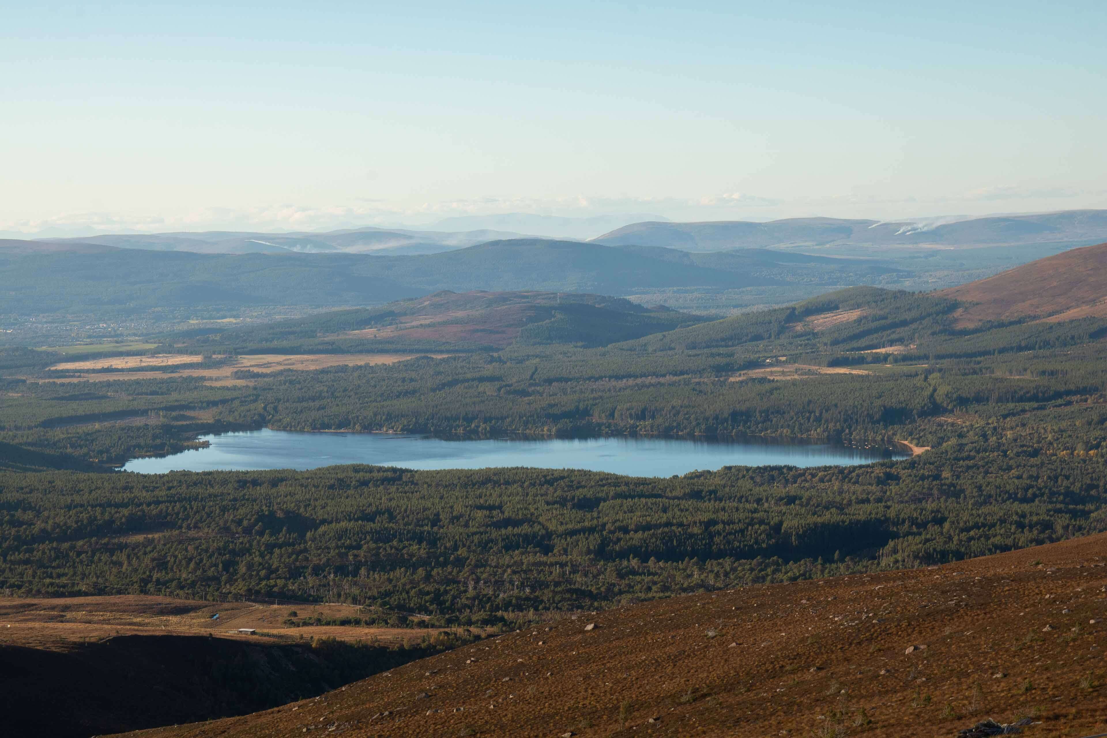
Ben Macdui is located in the north western area of the Cairngorms National Park which is the biggest national park in the UK. It's a beautiful expanse of mountains, forests and wilderness. There are vast stretches of mountains that keep on rolling as far as the eye can see. Every time I go there I'm gobsmacked how underappreciated these mountains are compared to the West highland ranges. Of course, this is assumption purely on social media status!
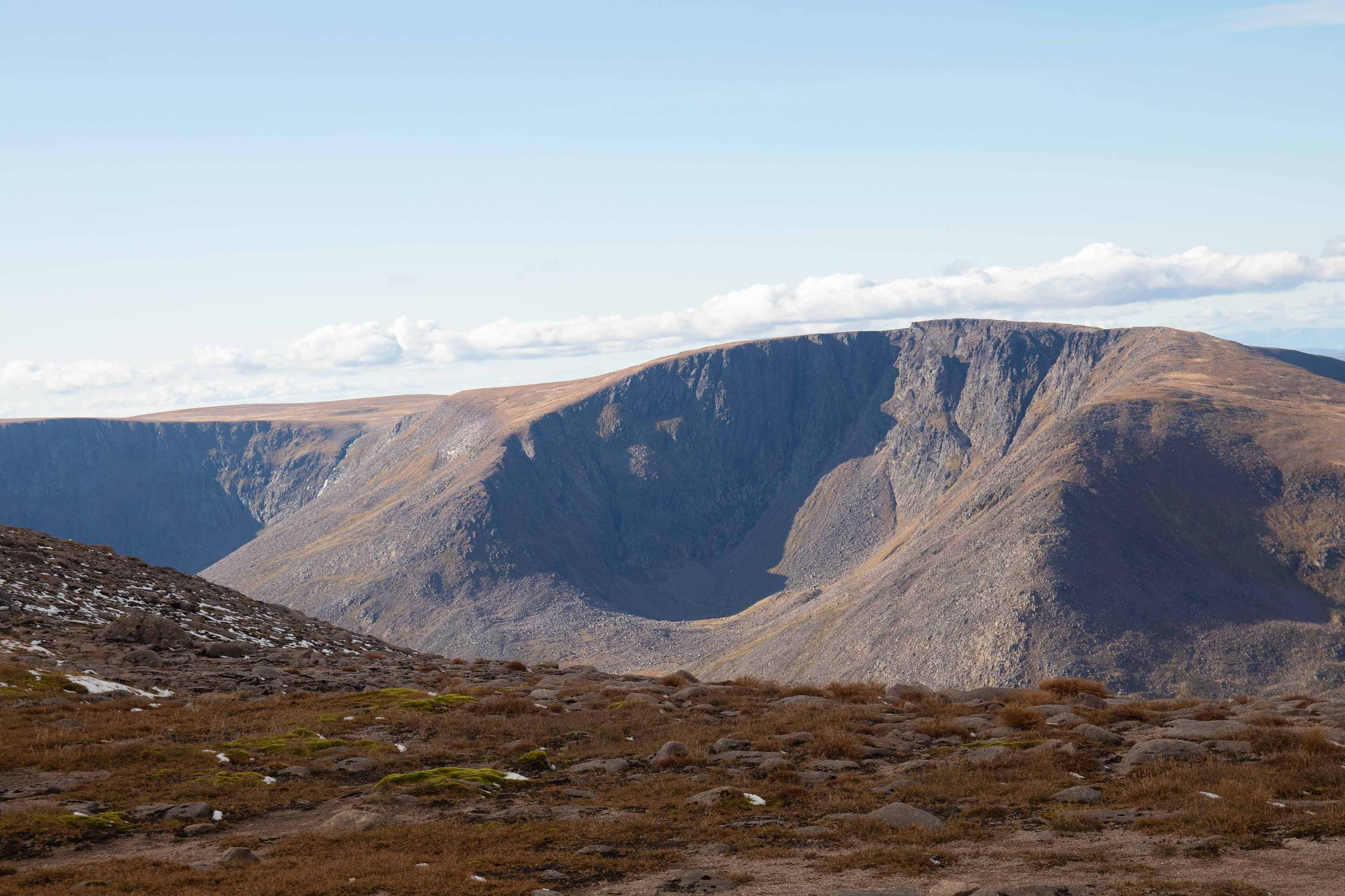
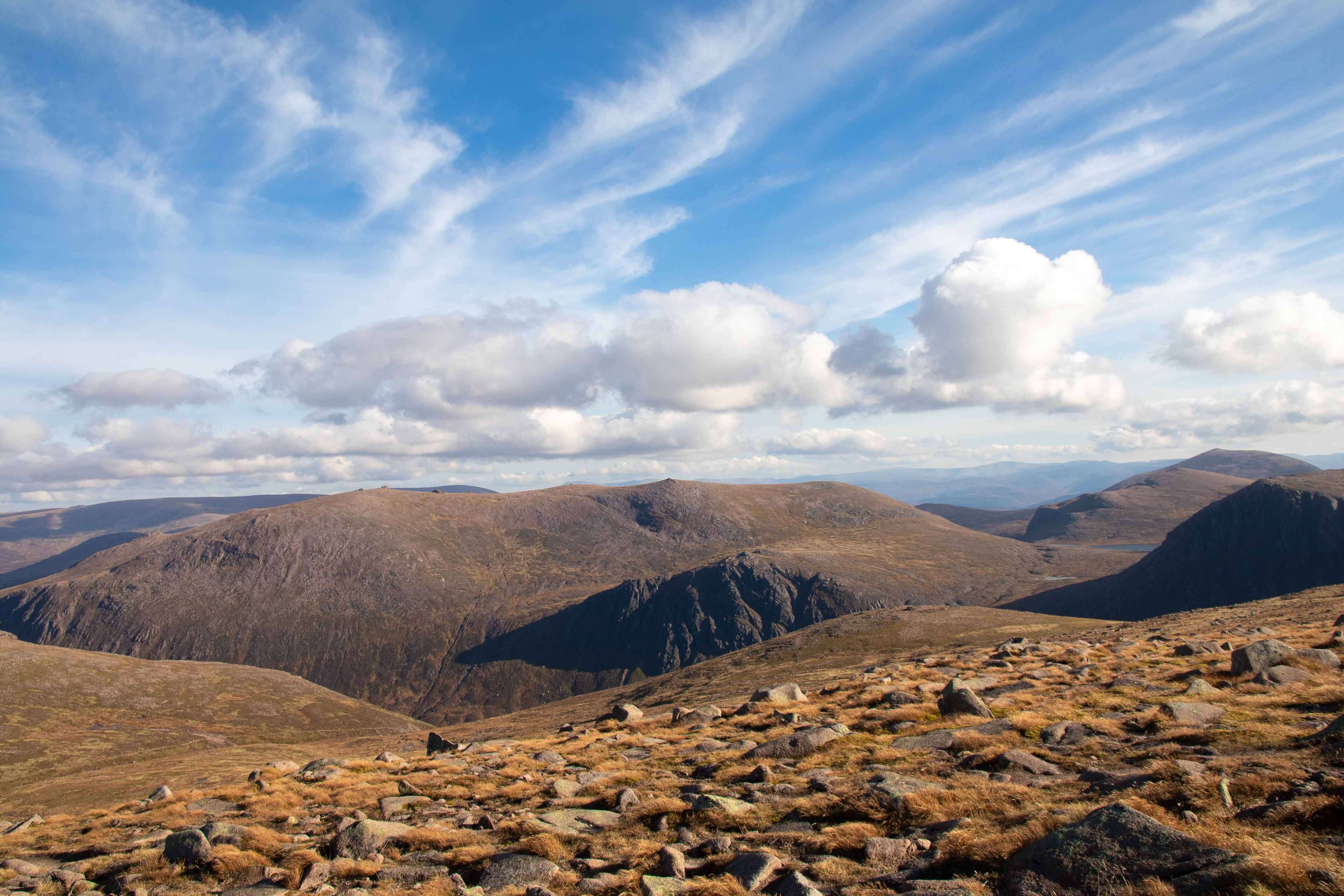
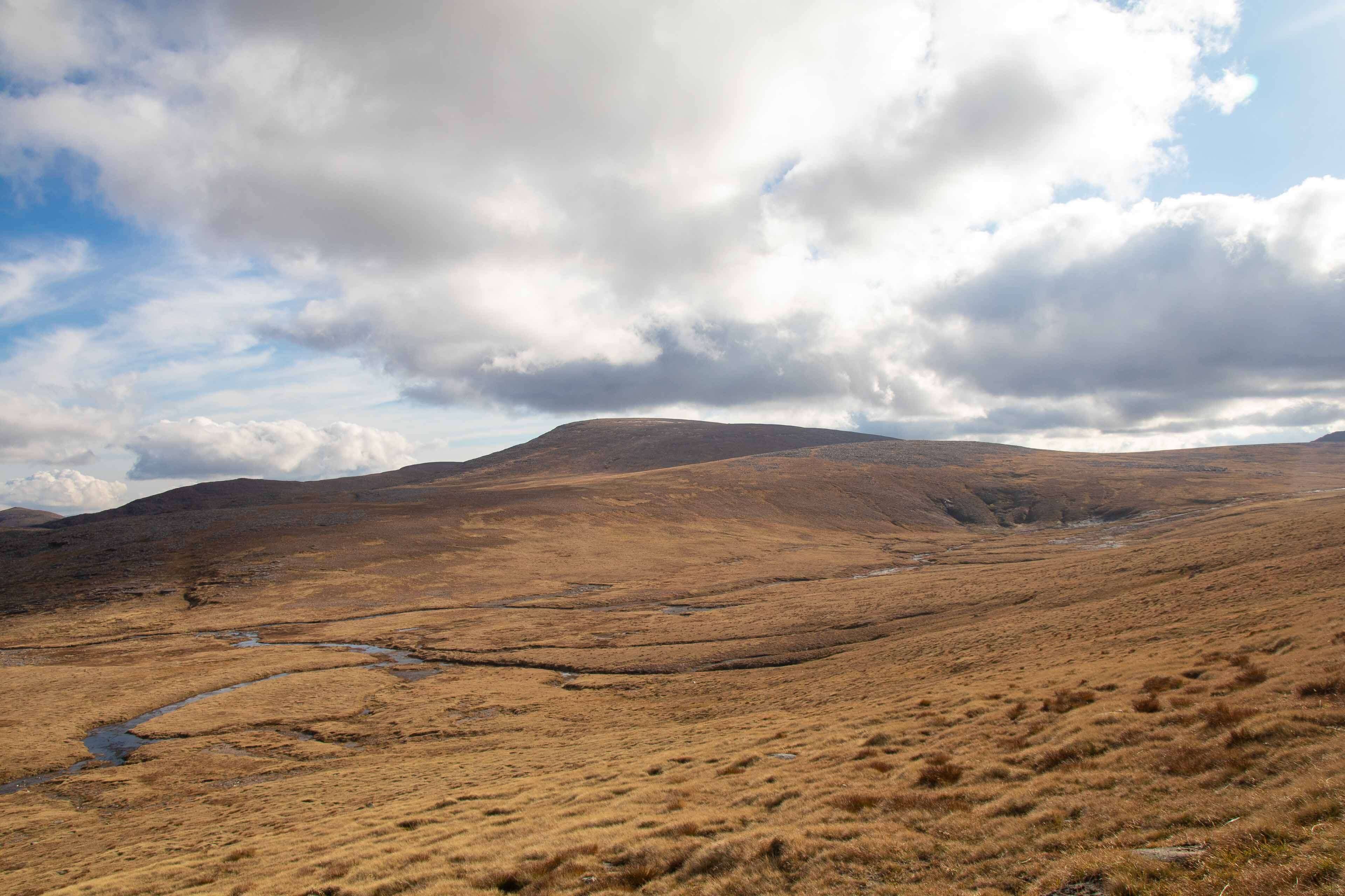
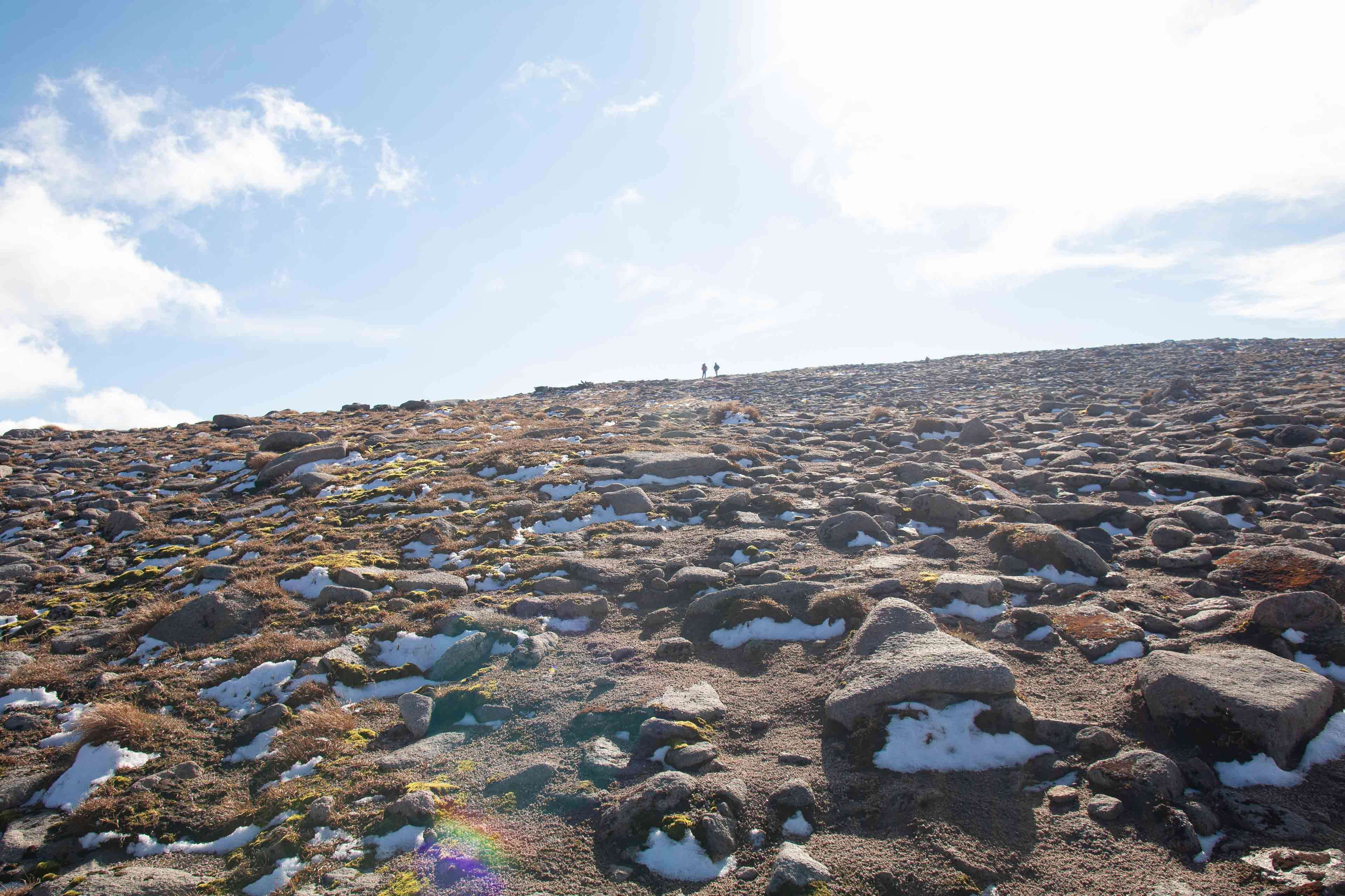
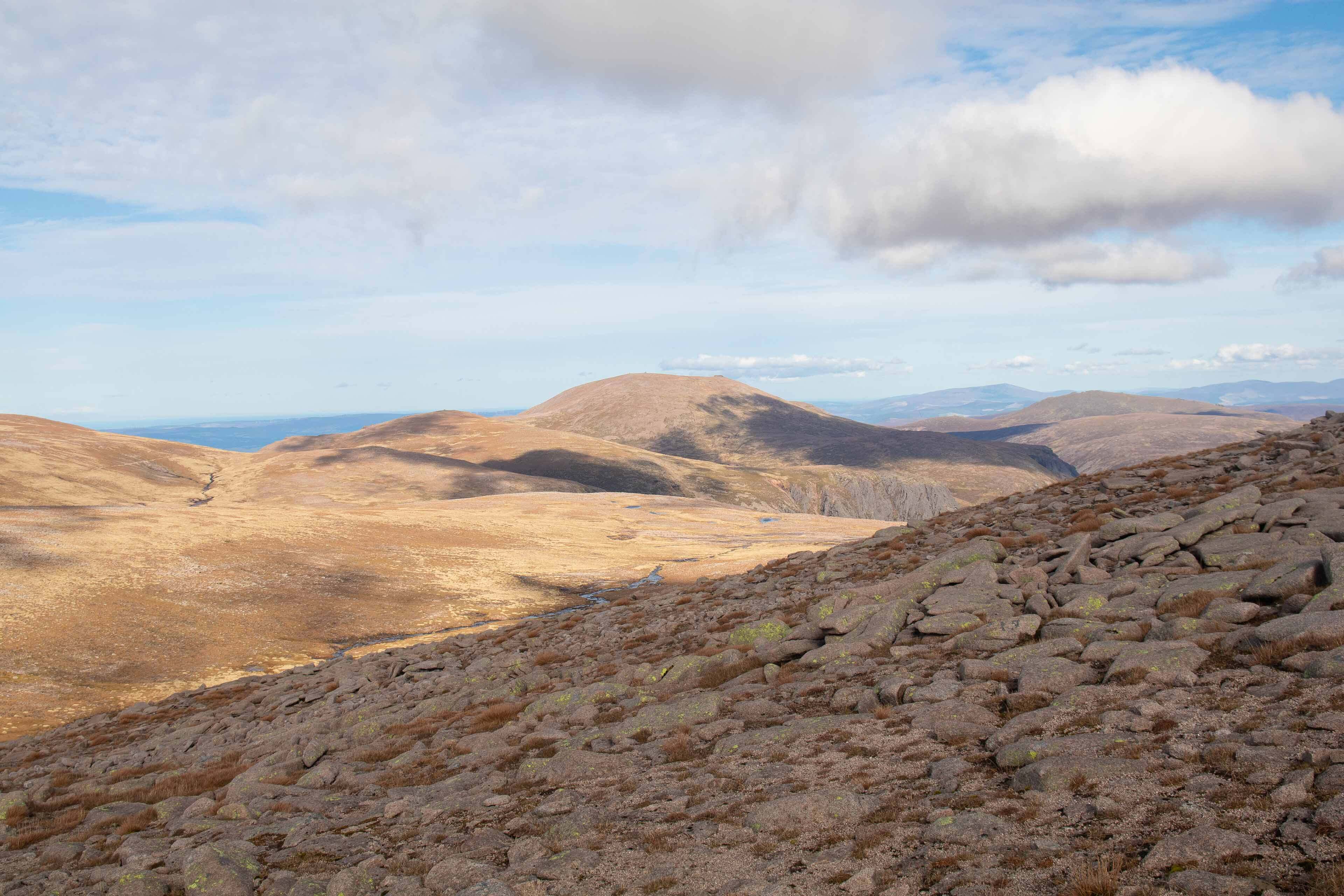
Ben Macdui is not a technical peak, and really doesn't look like a traditional mountain peak at all. It's more a plateau that reaches its highest point, hence why route finding is difficult due to the lack of significant landmarks around in low visibility. You can quite easily walk the wrong direction down the plateau! Theres various routes up to the mountain of varying length and difficulty.
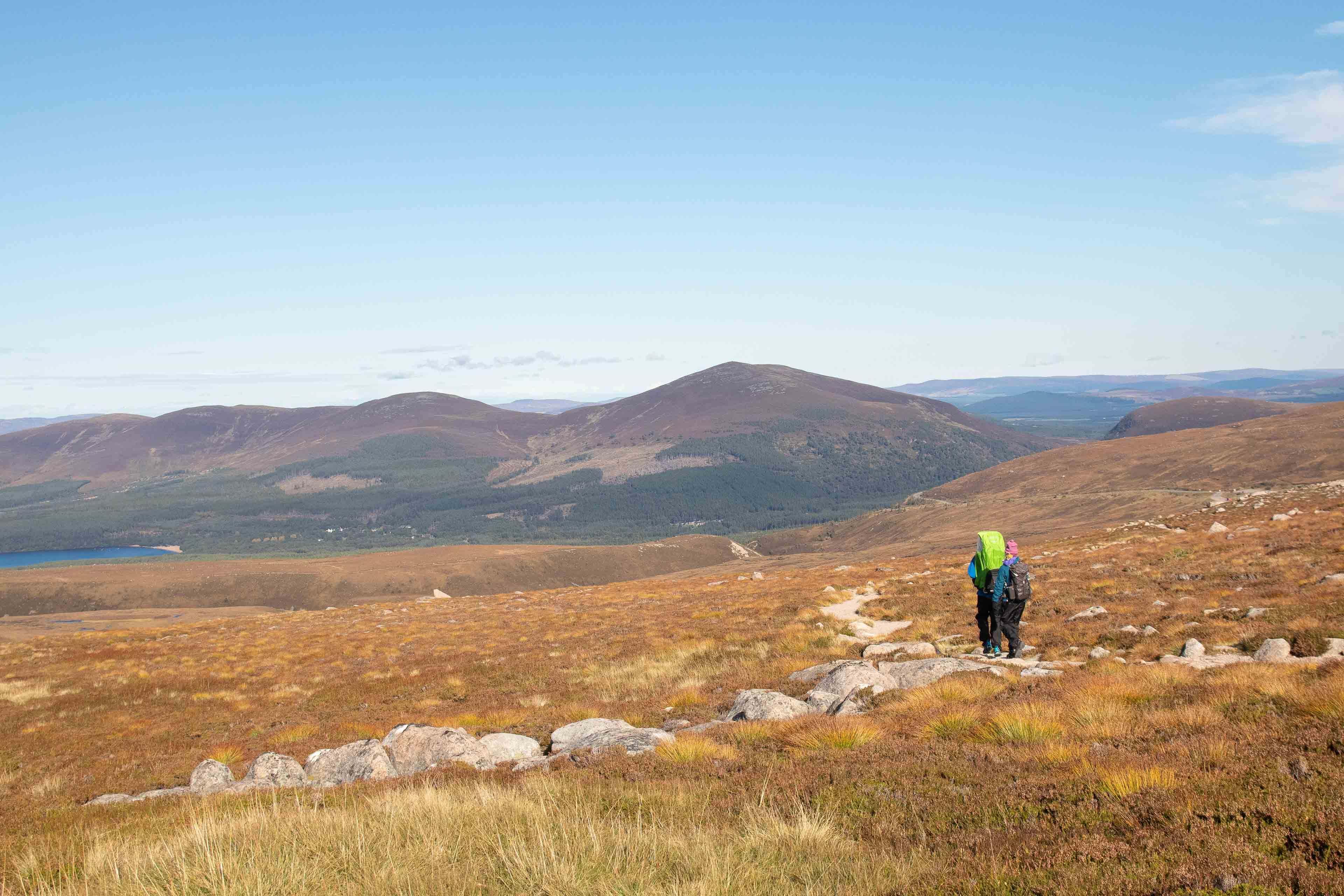
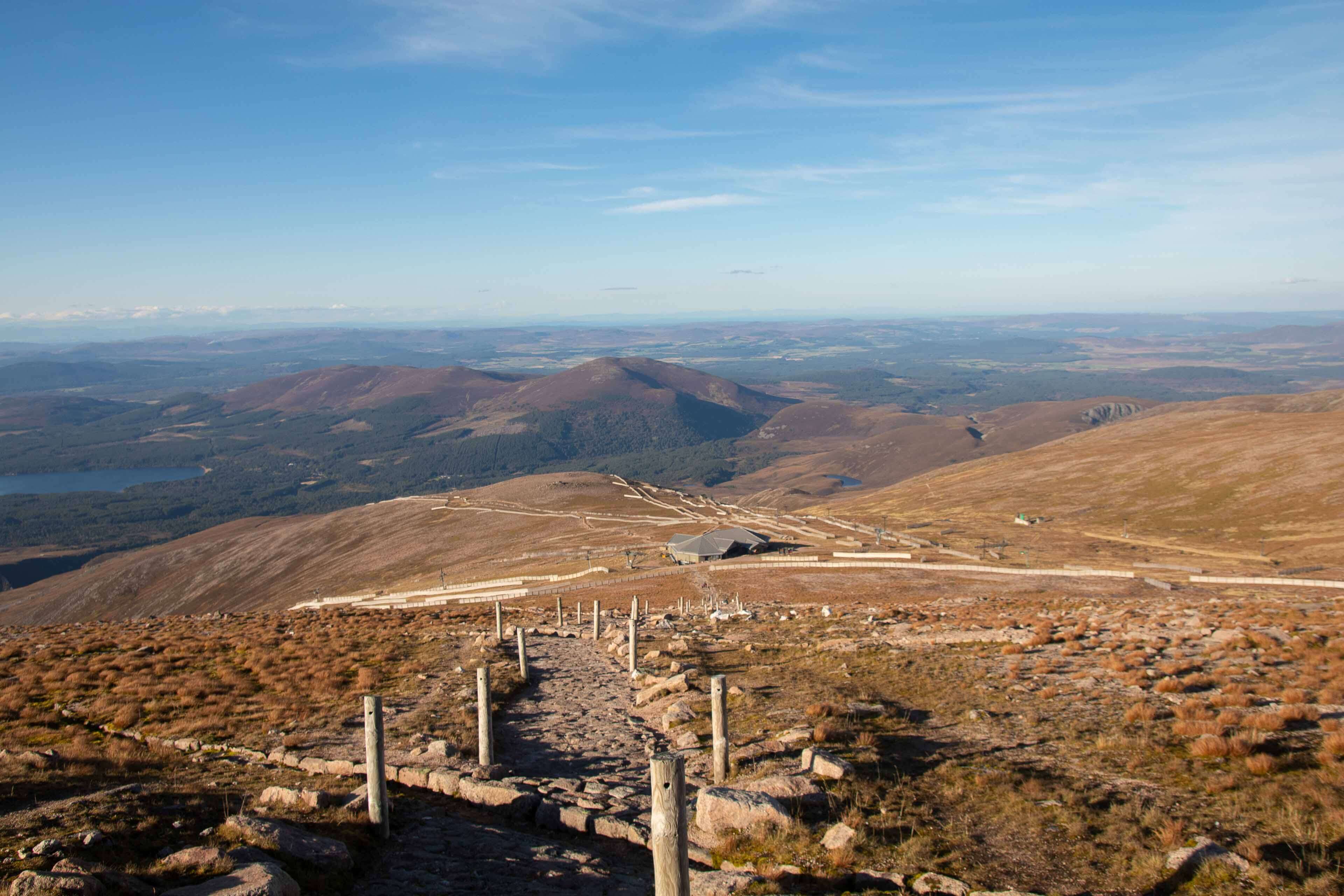
This featured route is fairly simple hike which starts from the Cairngorm Mountain Ski Centre car park right on the northern edge of the mountain range. The big bonus is that it starts at 620m so you're already half way to the top! The ski centre has a decent cafe to grab some cakes and coffee before setting off.
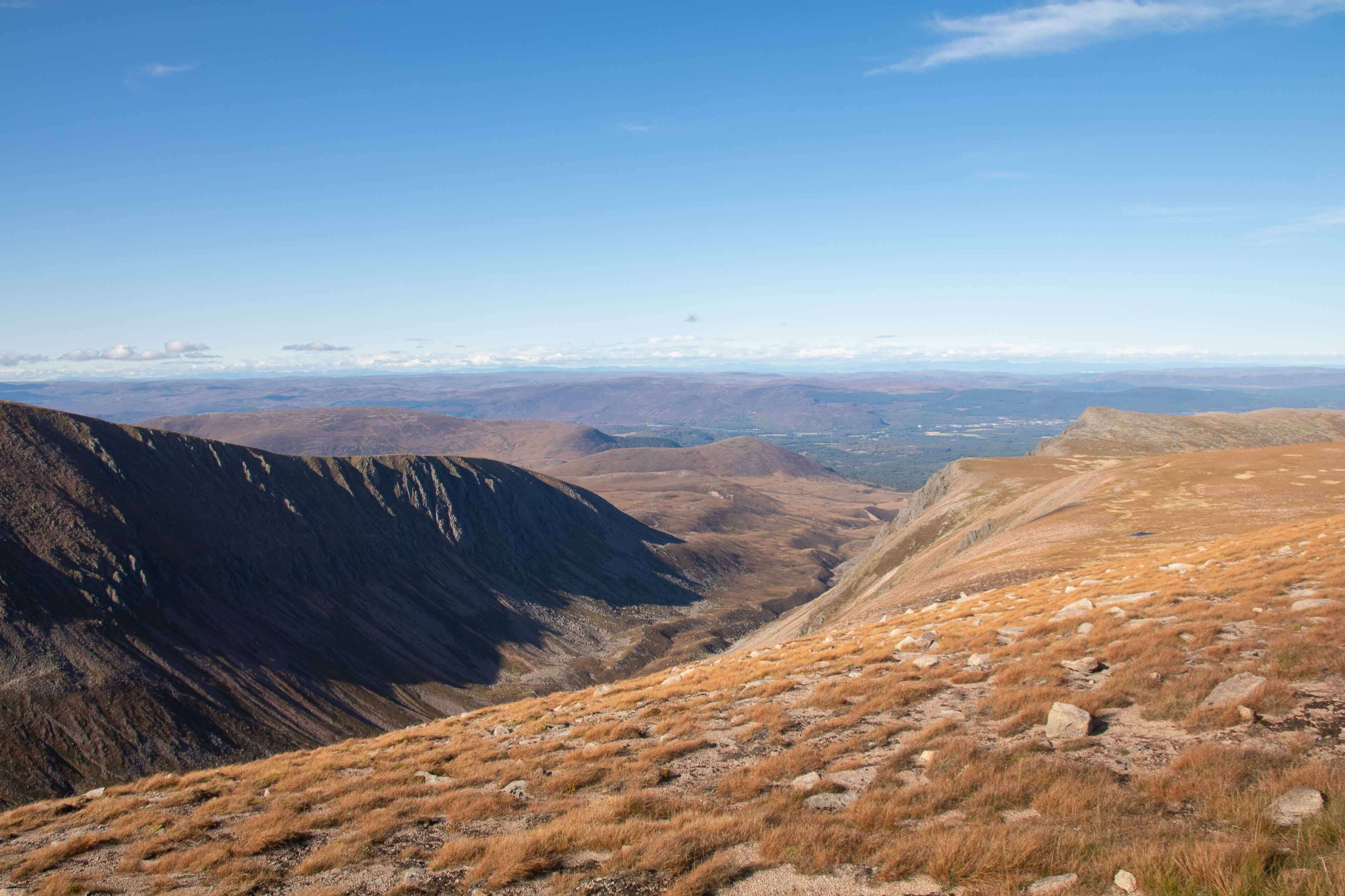
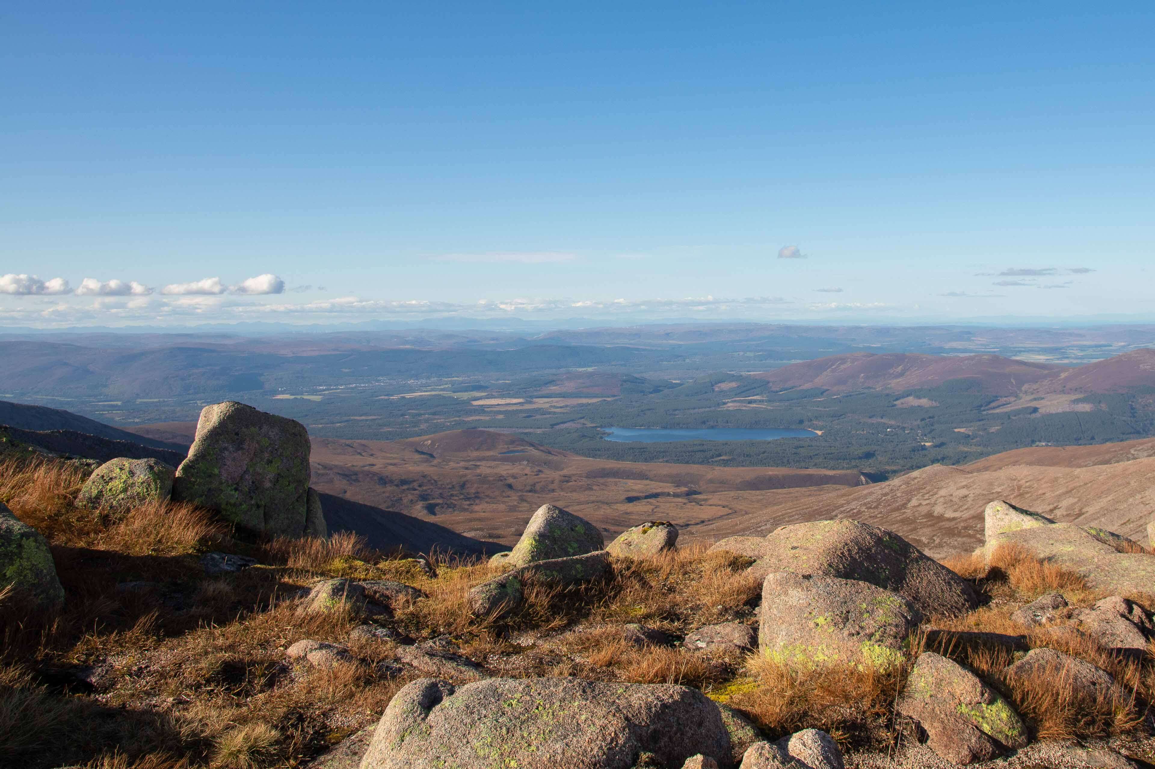
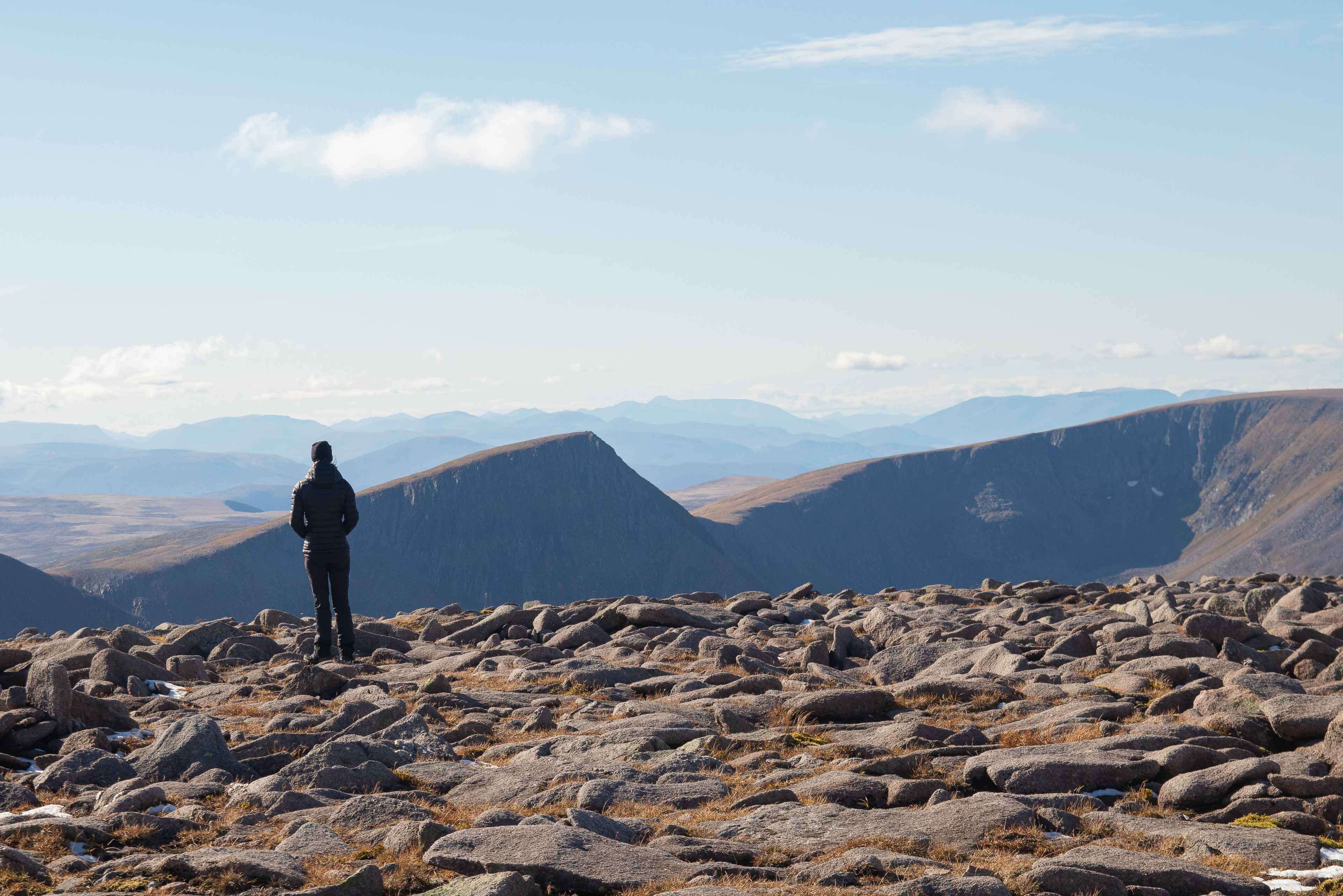
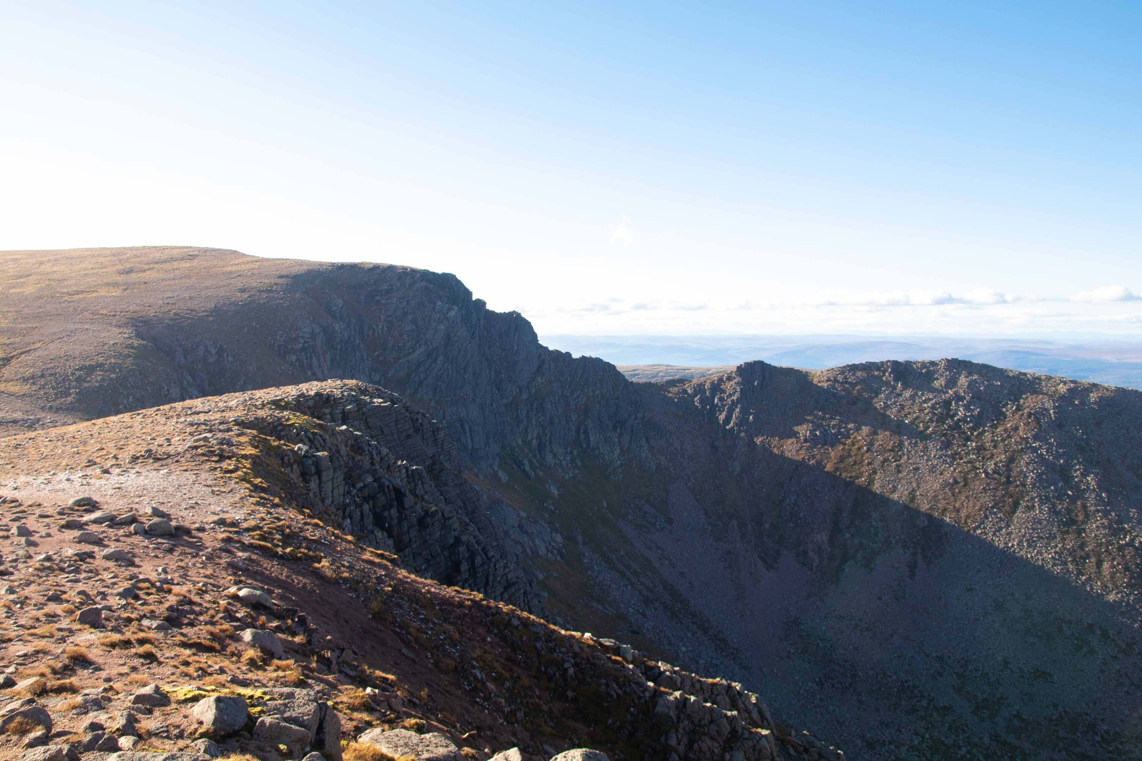
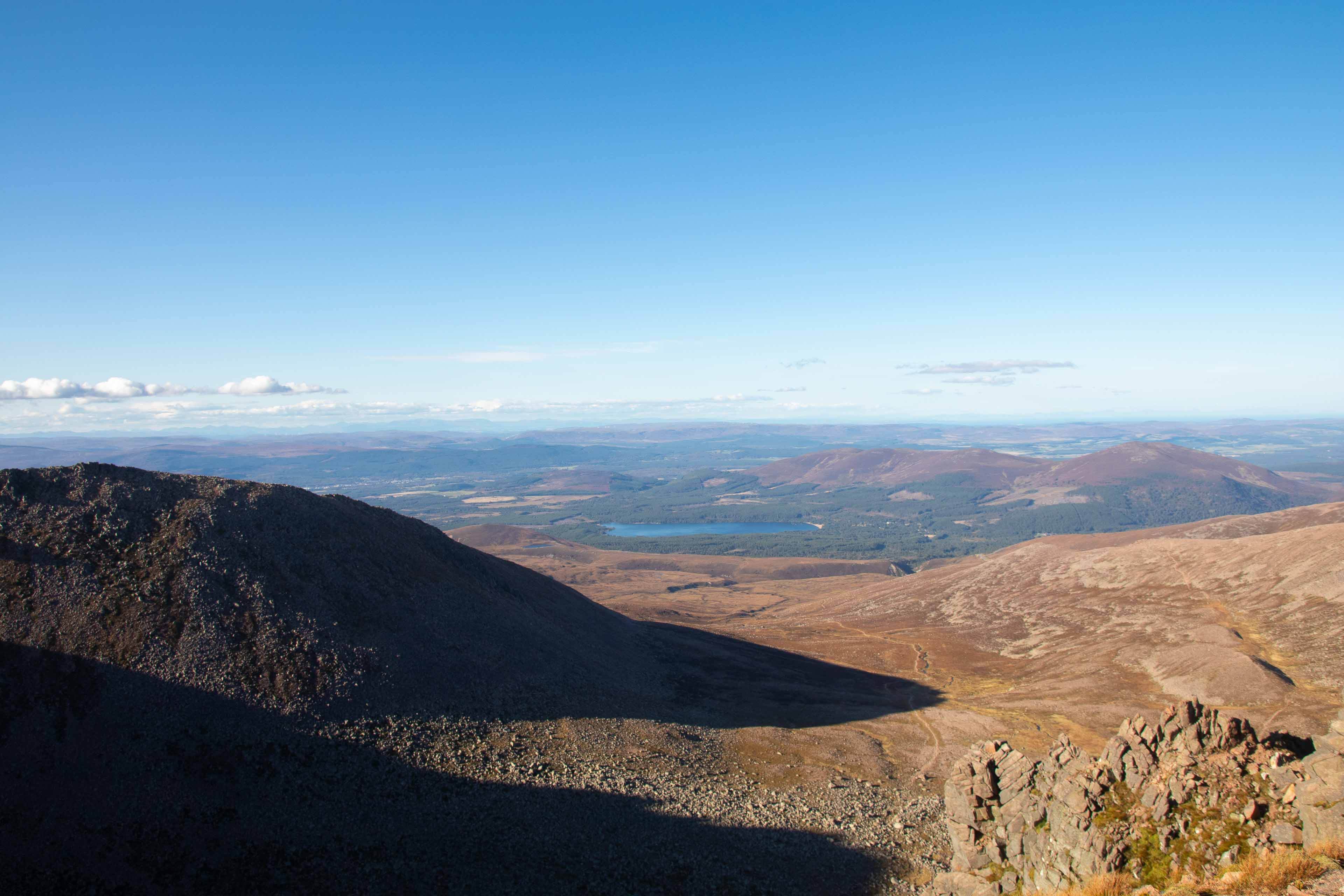
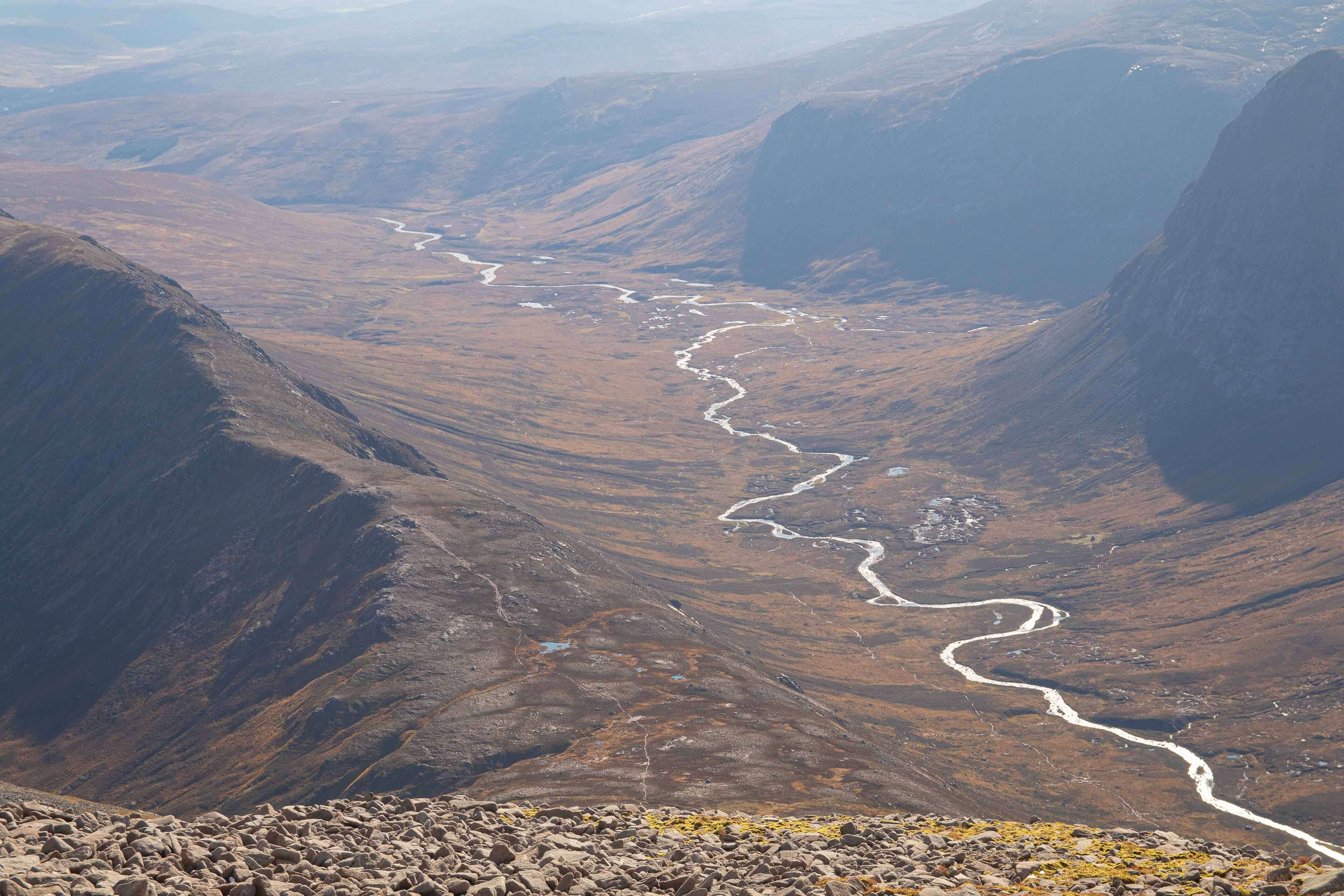
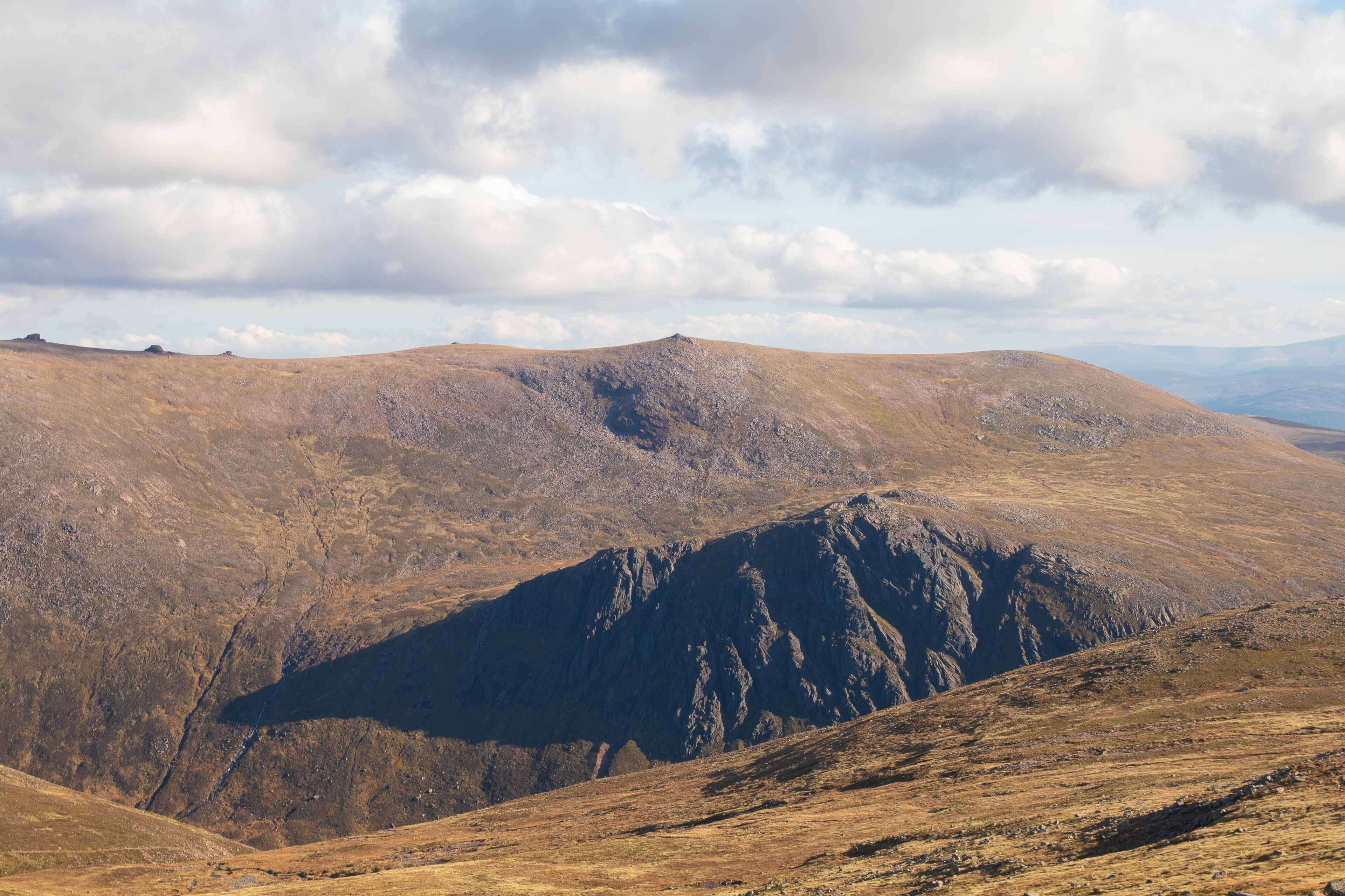
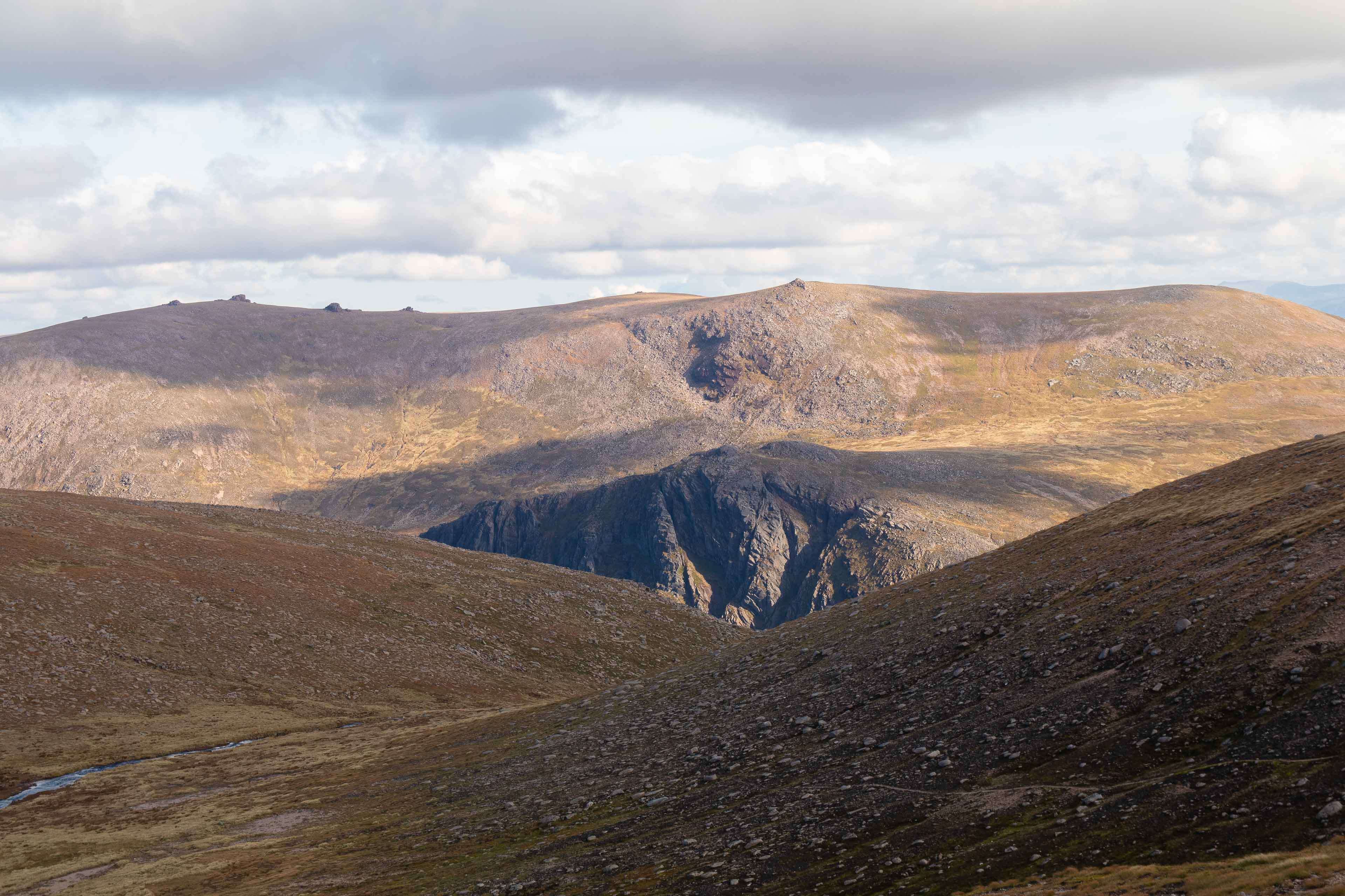
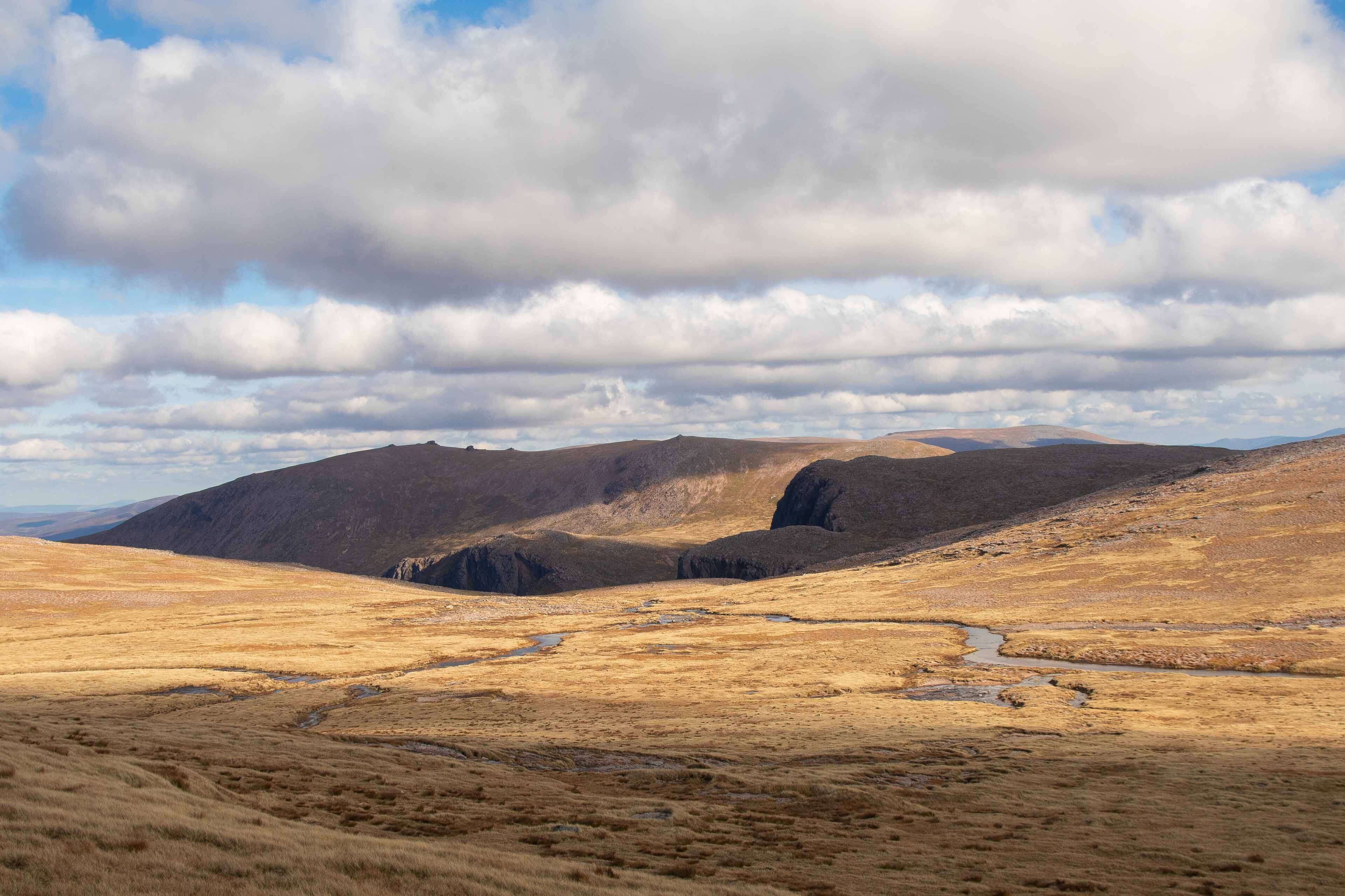
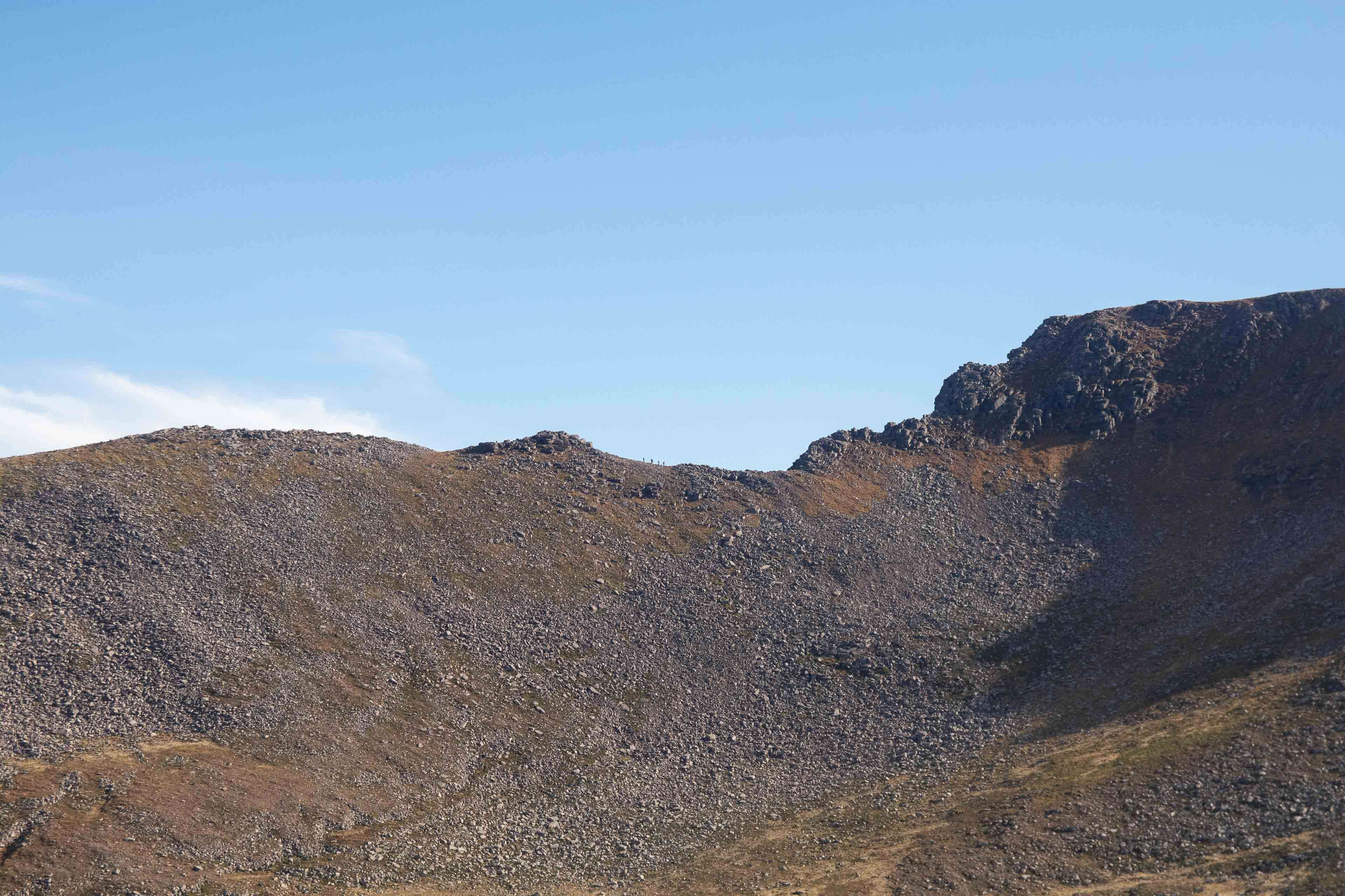
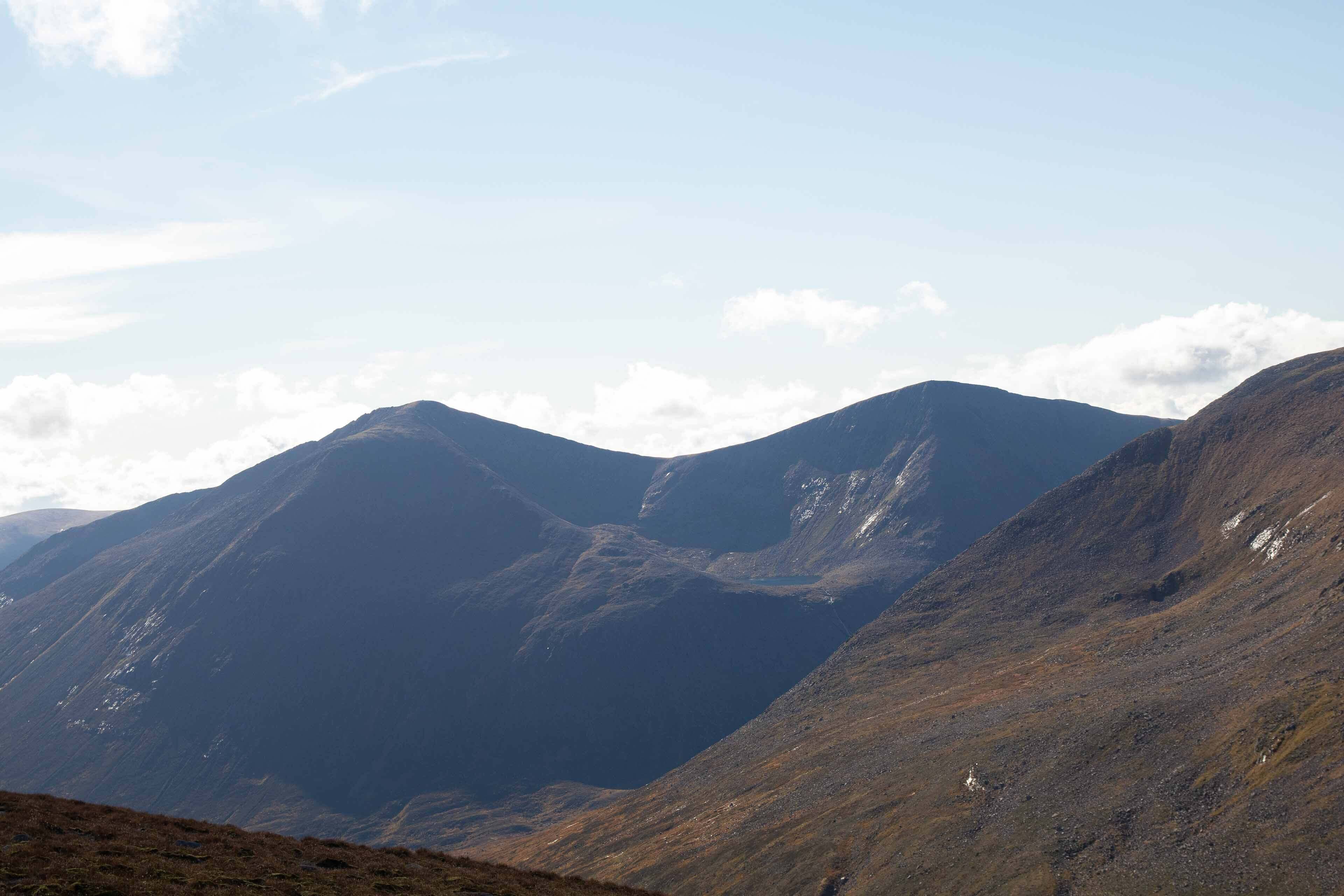
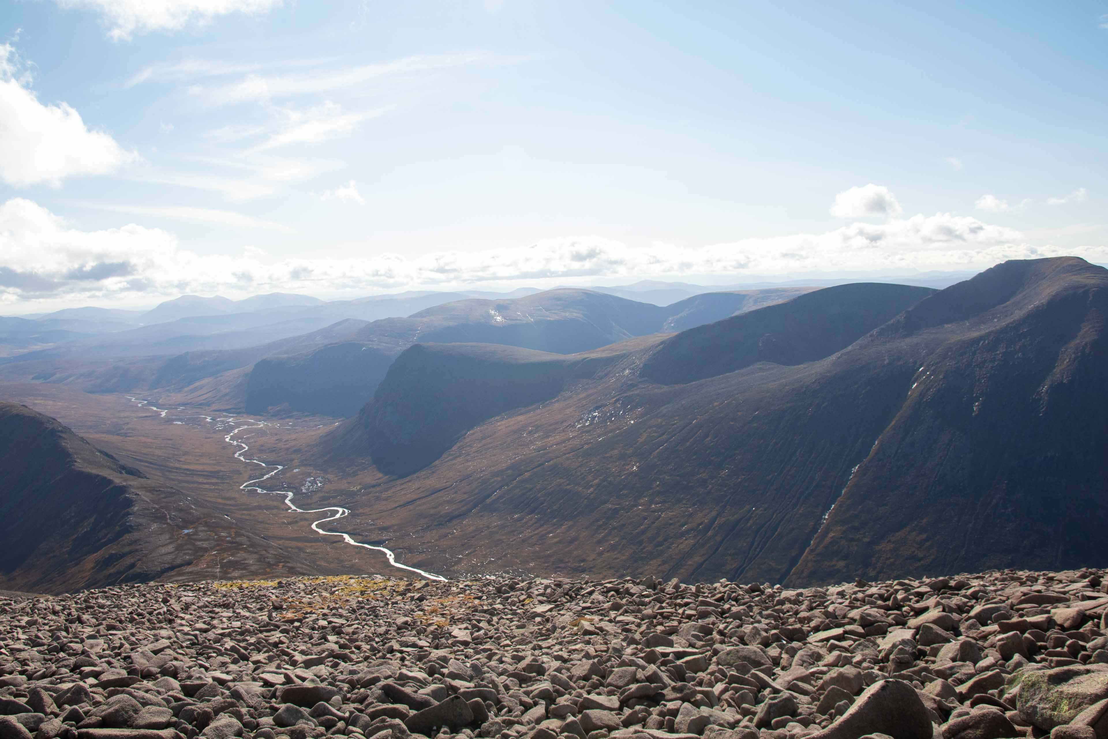
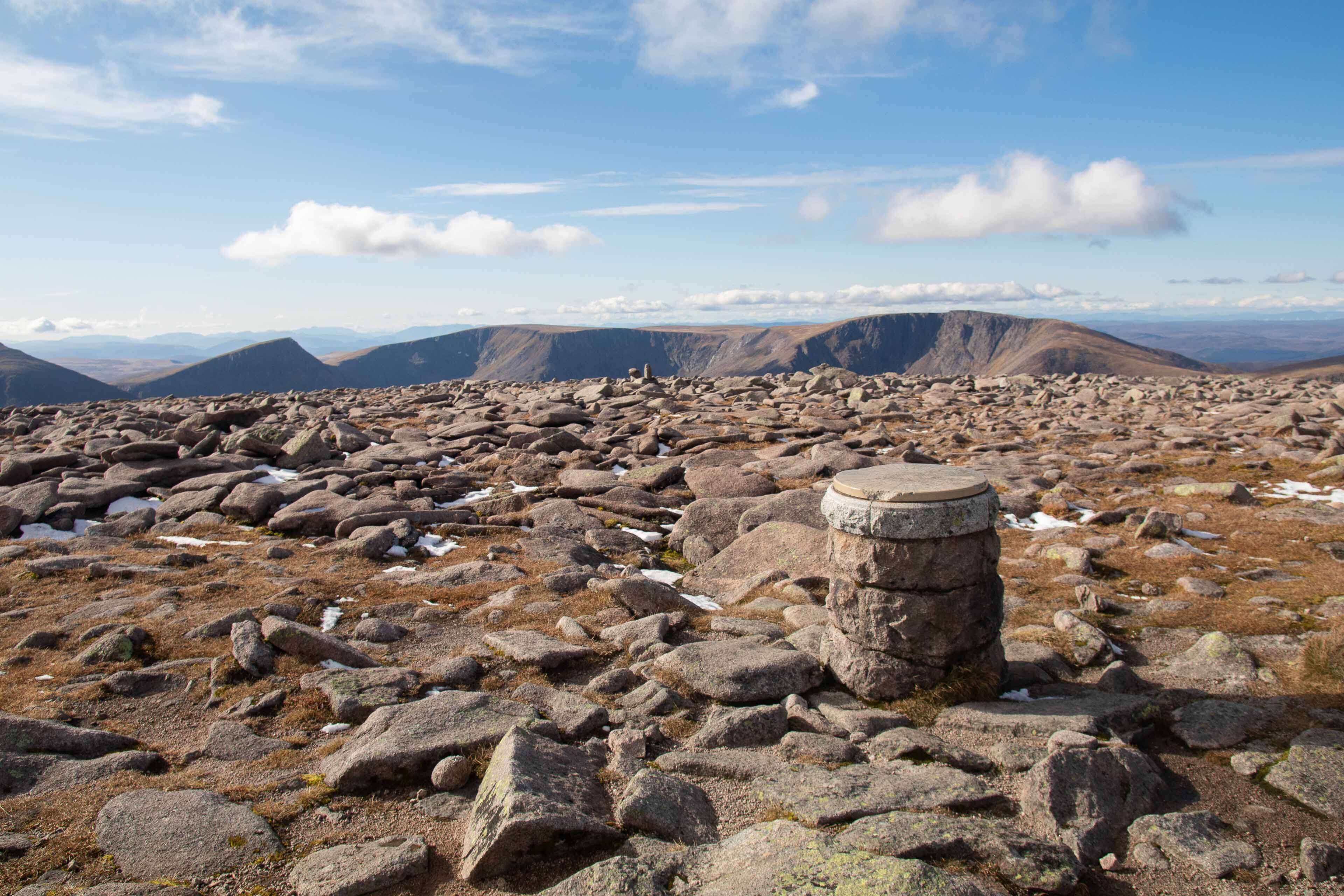
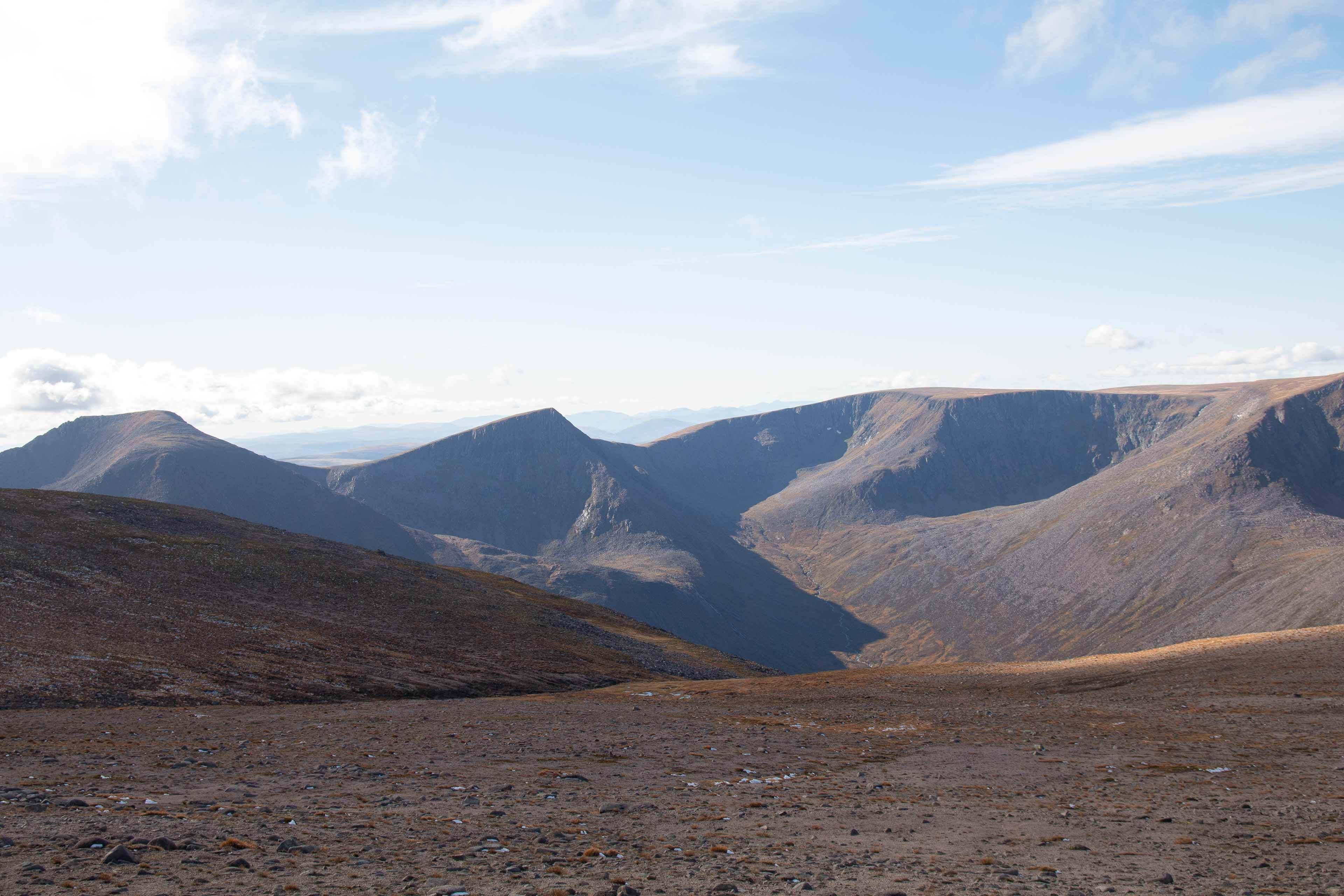
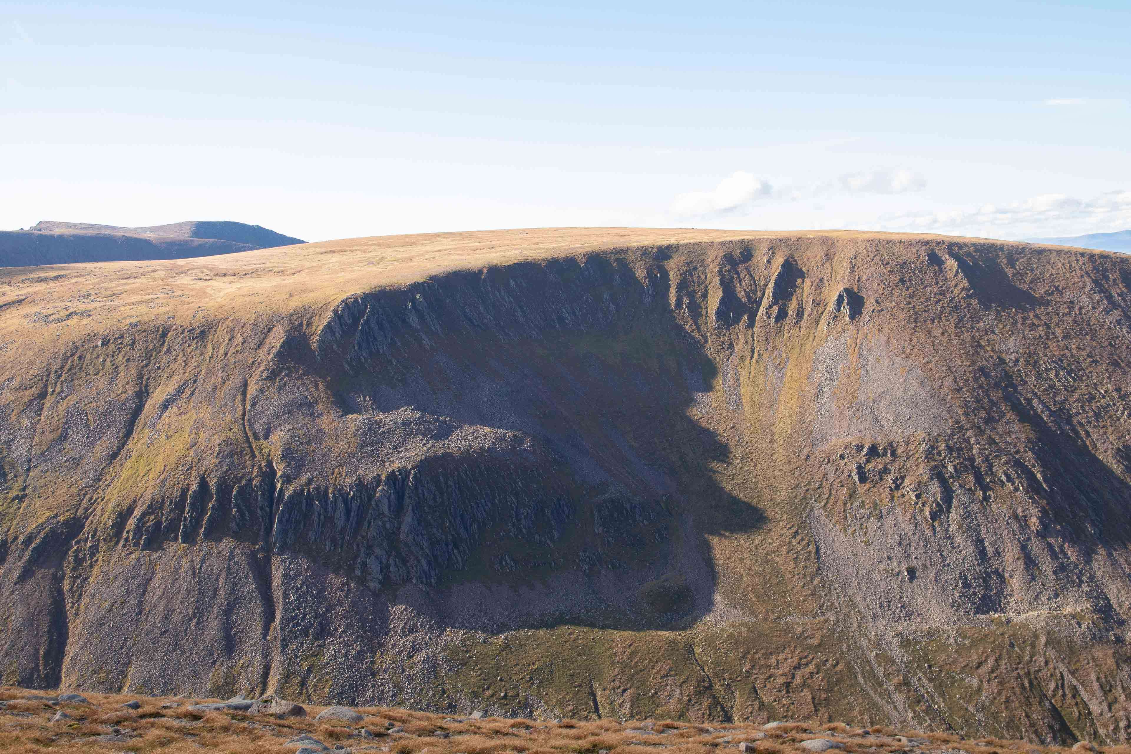
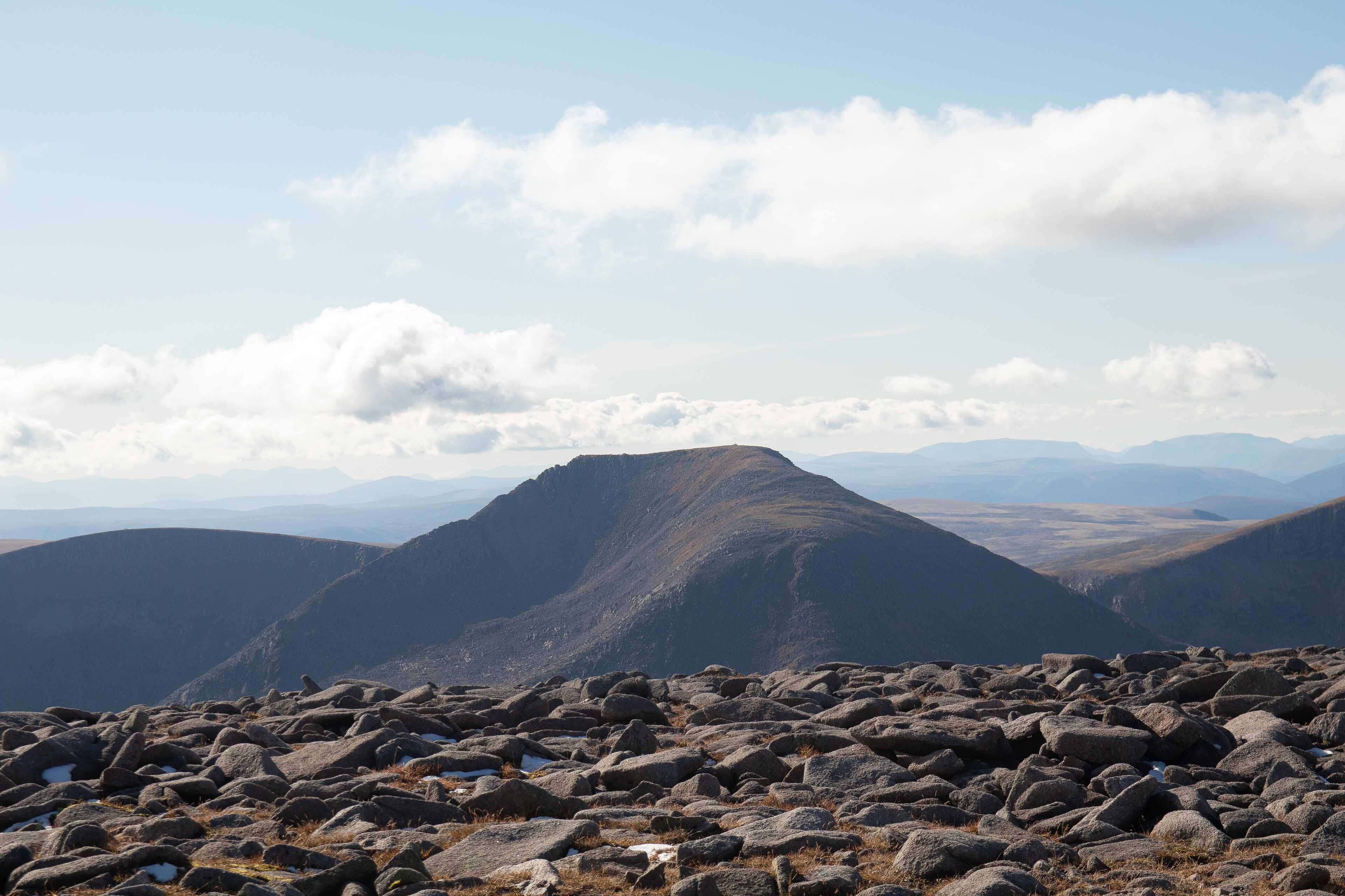
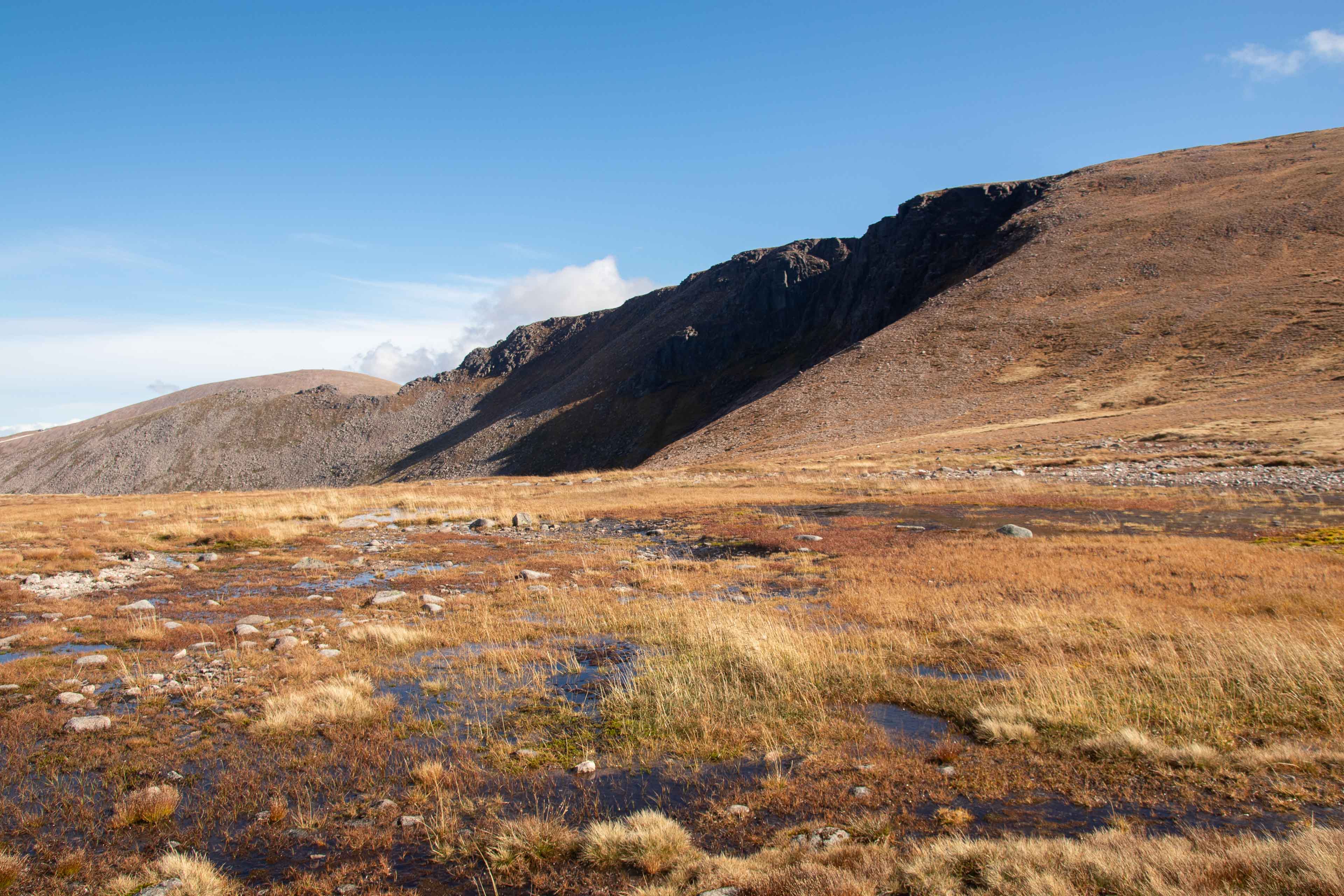
From the Ski centre you head along the northern corries path westwards which is over a bridge from the centre. This path then follows south up a wide ridge around Coire an Lochain. Theres great views to the valleys on your left and right as you ascend the ridge. Once at the highest point, you descent down the path for a mile towards a wide expanse with 2 small lochs (Lochan Buidhe) either side of the path. From here the path splits and circles north east towards Stob Coire an t-Sneachda (1176m) This is the return route as from this point you leave any clear paths and continue southwards over fairly rocky, featureless terrain which after a mile and a half will bring you up to the highest point of Ben Macdui. Theres a cool standing stone showing all the Cairngorm peaks and their directions marked on as well as a trig point. If it's a clear day definitely walk a little further south down the plateau which gives amazing views of the River Dee flowing through a valley to the south west.
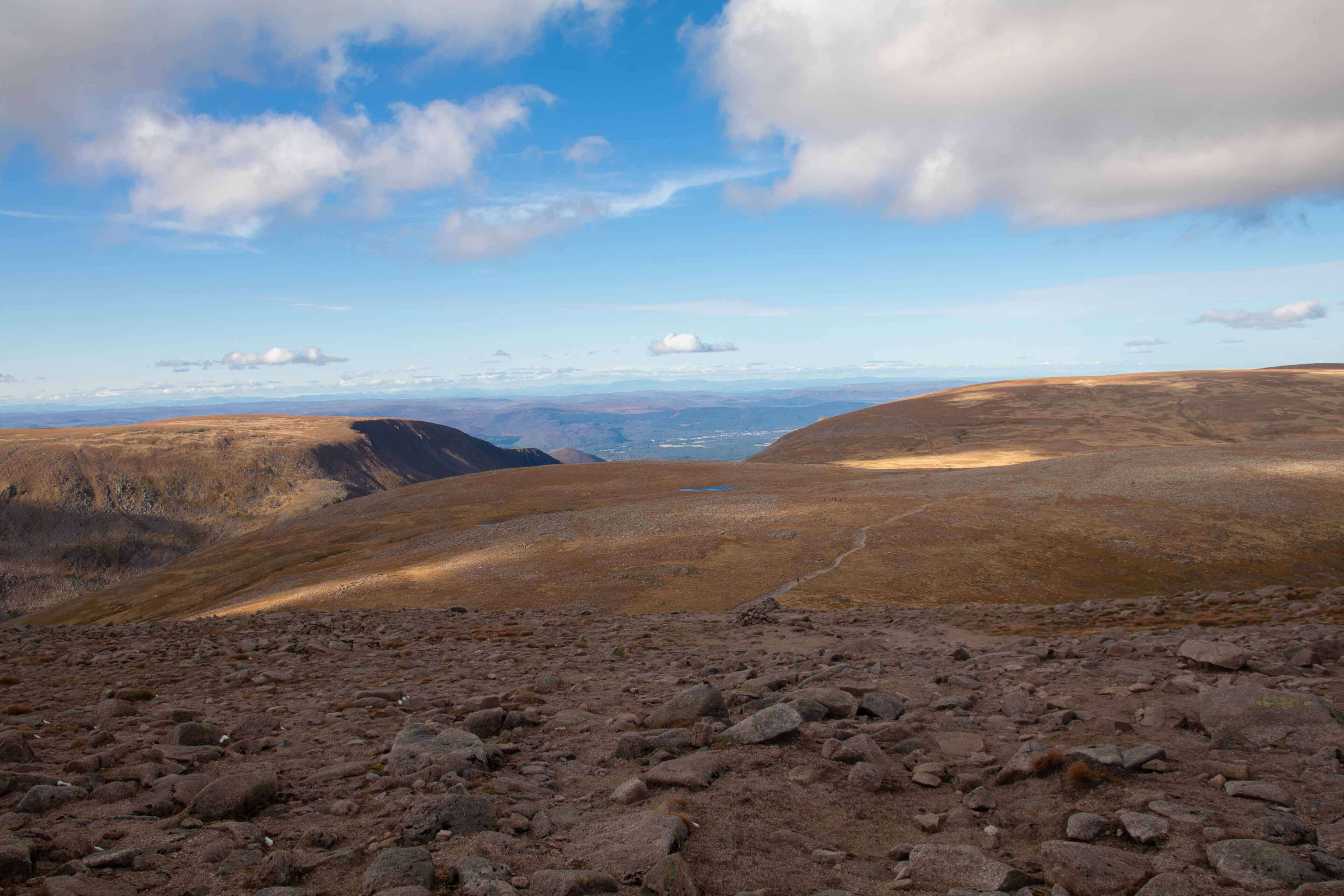
Head back down the way you came until you get back to the lower plateau and head north east which starts the return loop. This loop will take you all the way up to the peak of Cairn Gorm (1244m) which is actually the most strenuous part of the trail with a fairly steep climb. Once at the top there is a well-marked path heading down to the Ski Centres Ptarmigan Station. And from here a path that descends all the way back down to the Ski Centre car park to finish the trail.
At 12.5 miles, 3780ft and around 5-6 hours this is a fantastic hike into an amazing wilderness of mountains. I was extremely lucky with the weather I had which made the walk easy for navigation. As mentioned at the beginning of this feature it's very important to take compass and map especially if the weather turns whilst at Ben Macdui as you have potential to really get lost without. This is one trail I would love to return too in winter snow conditions if I hopefully ever get the chance.
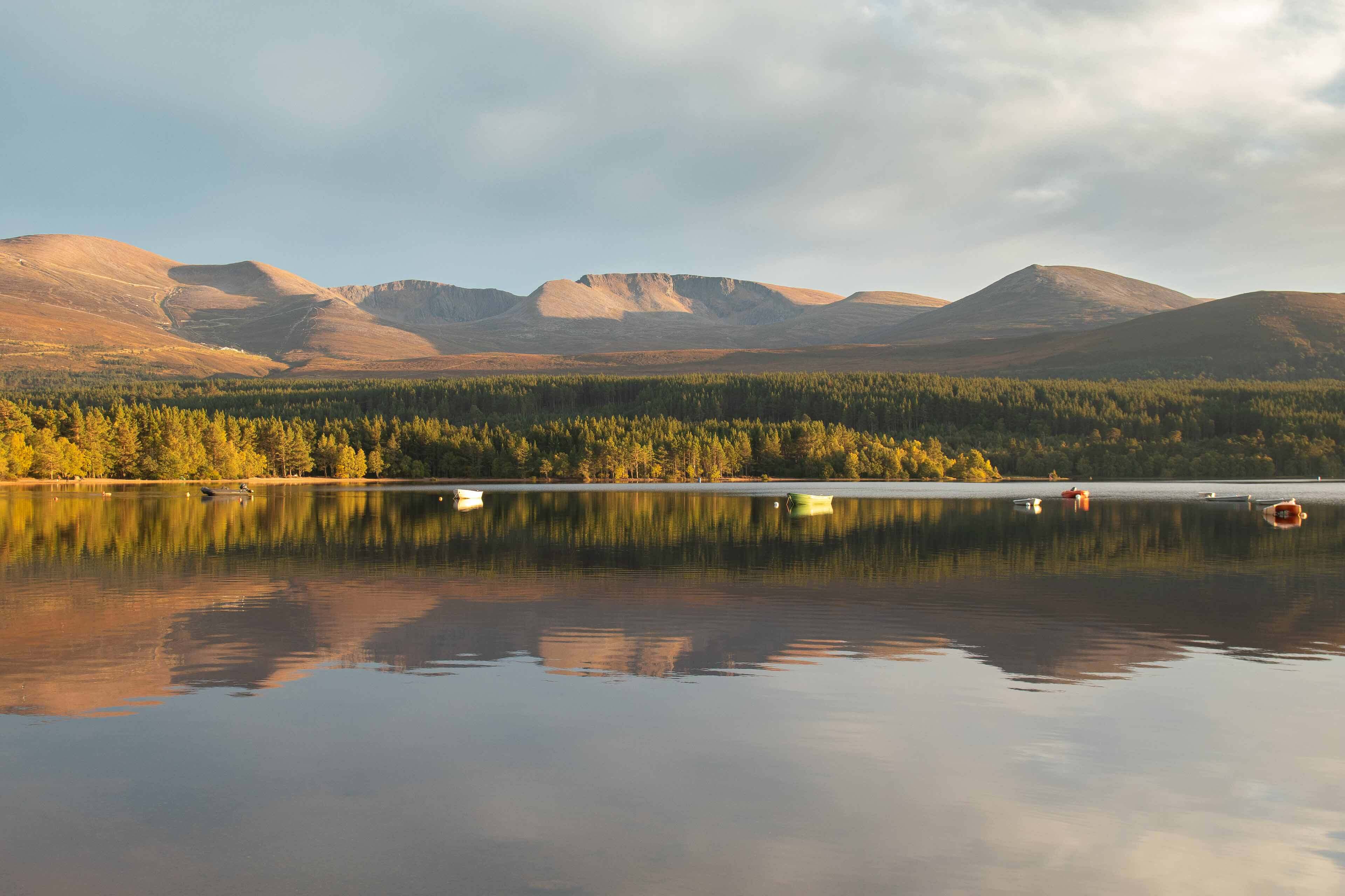
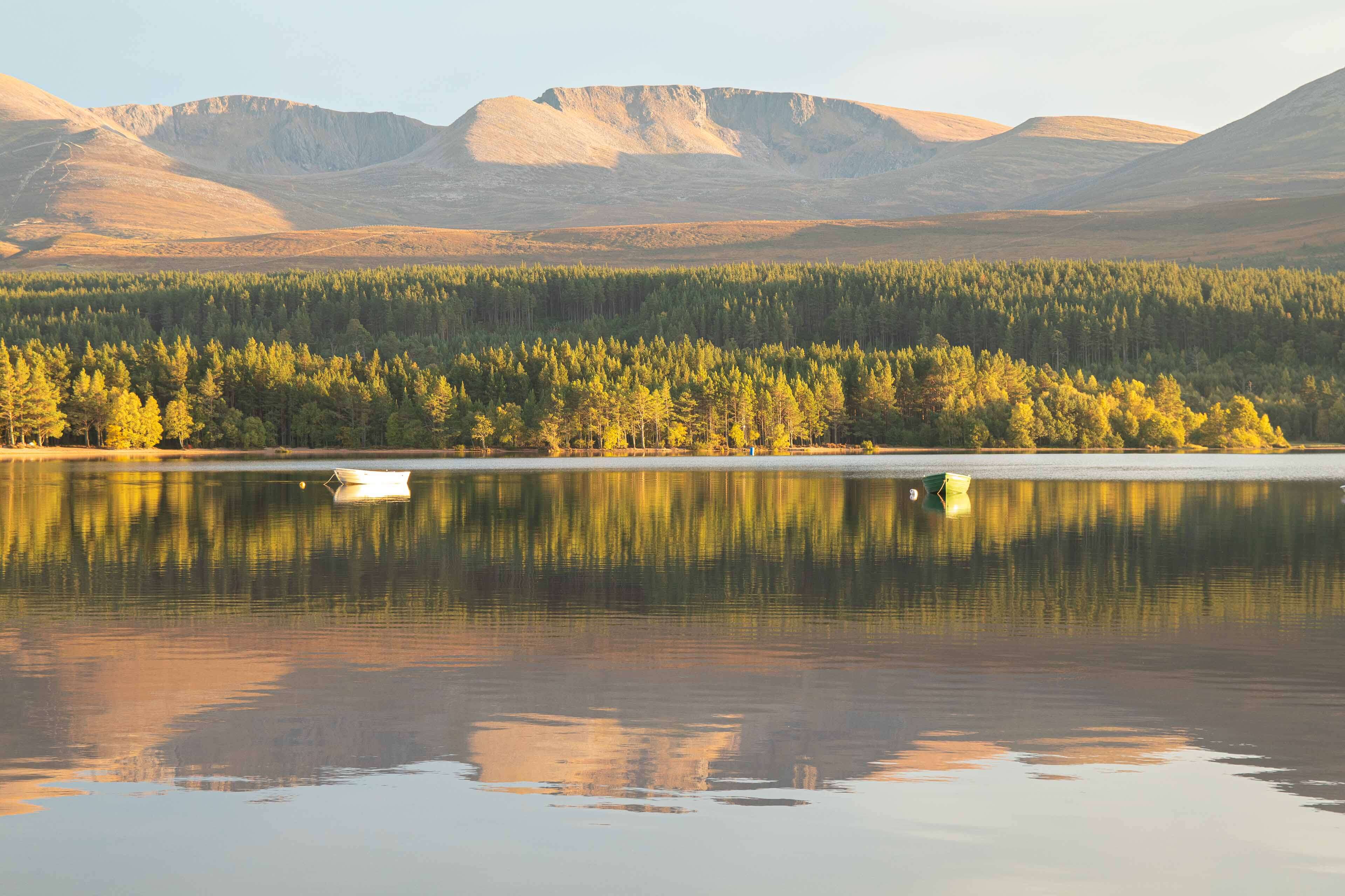
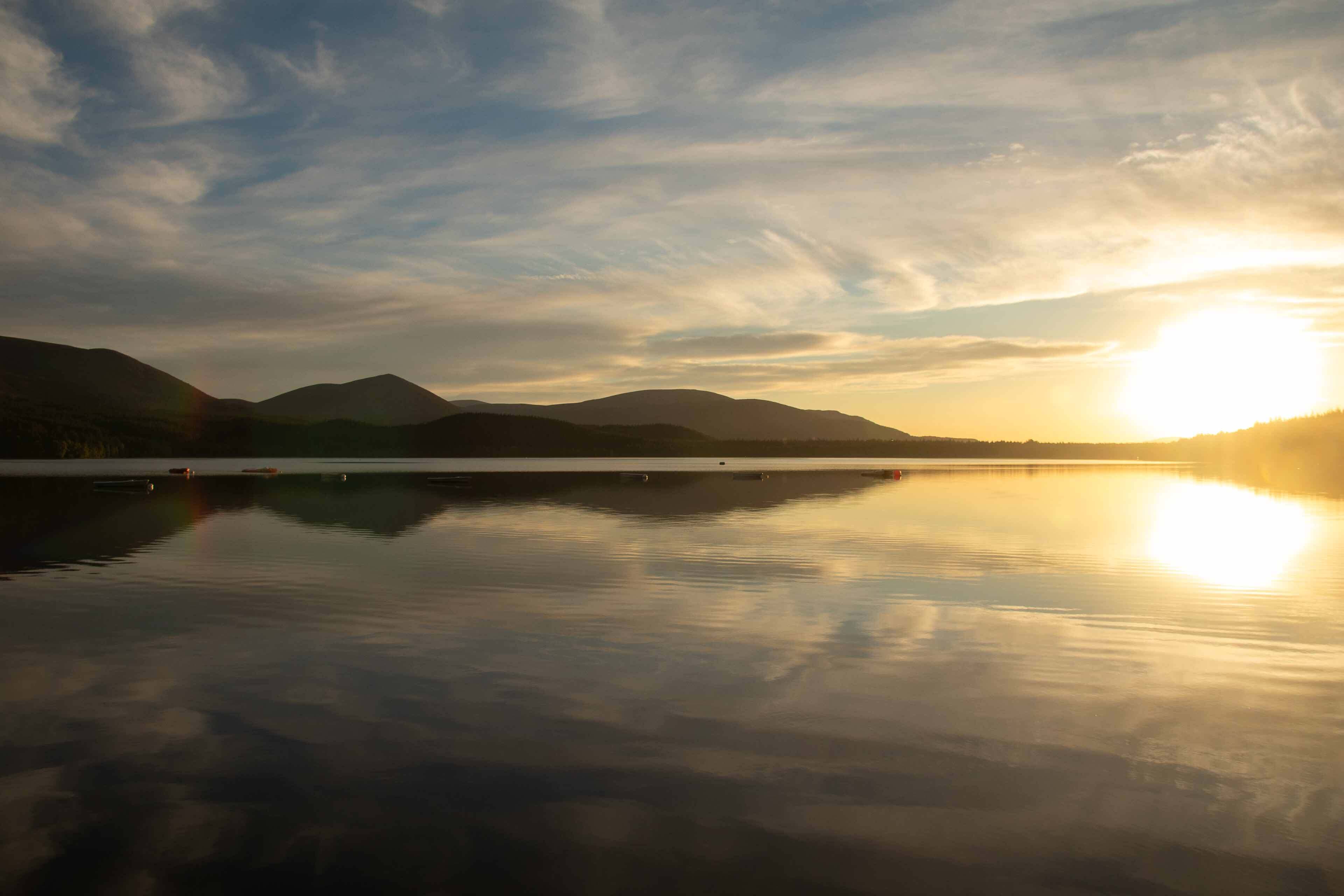
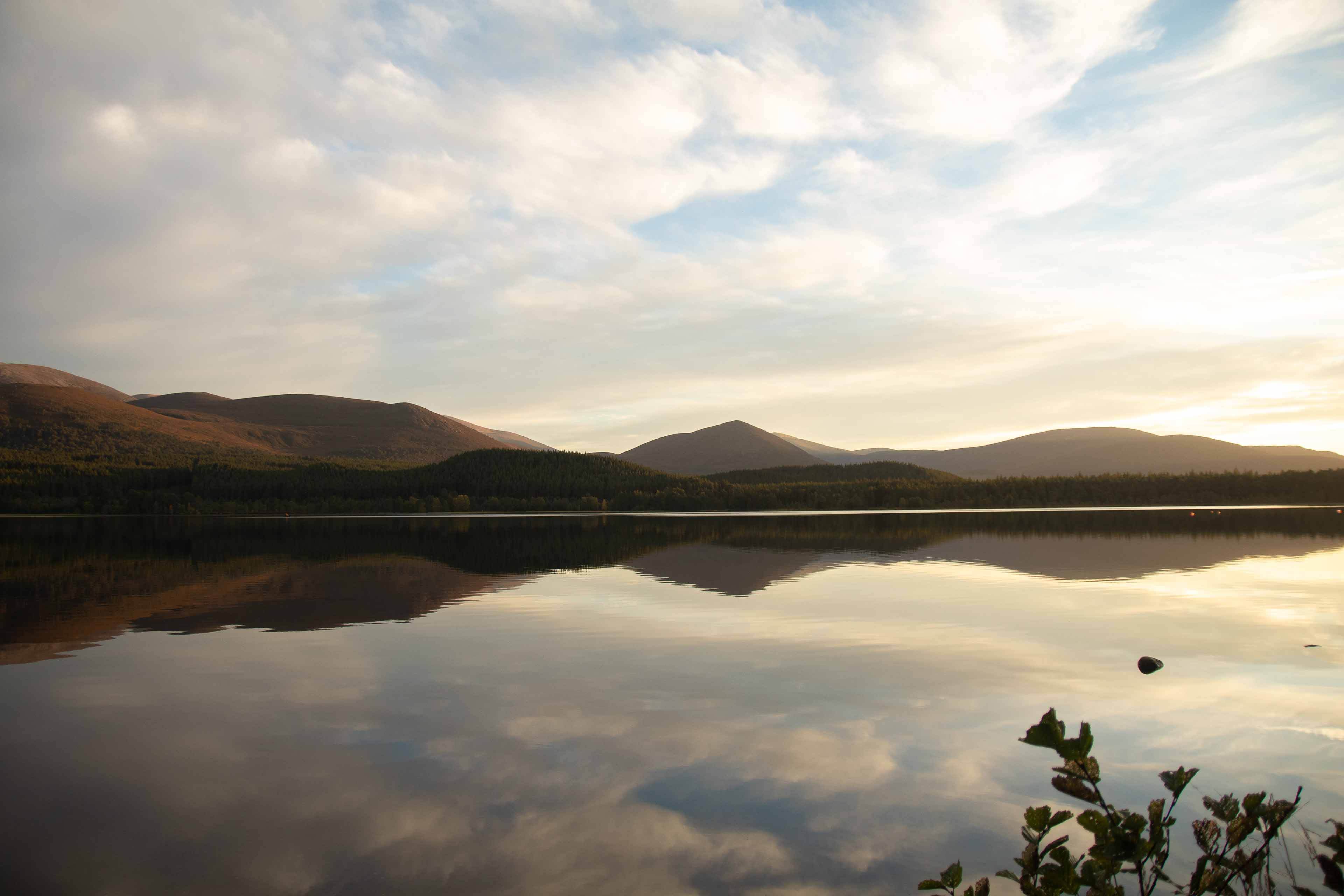
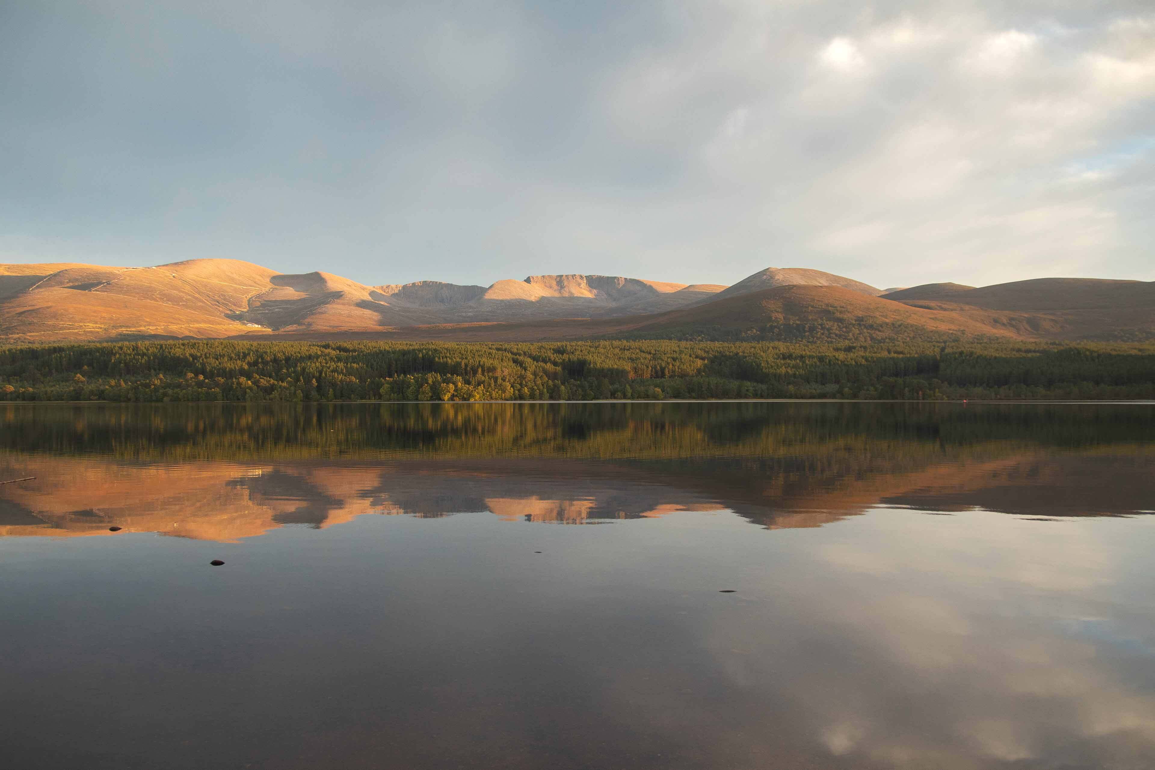
I have also added photos of the mountain range that I took from Loch Morlich which you must drive past to get to the ski centre. With such a clear evening I stopped and strolled down to the small beach on the north east of the loch to enjoy the sunset glow on the mountain range. Probably one of the best sunset locations I've witnessed, absolutely amazing. So even though technically not on the trail itself, I class these photos as part of the days adventure!
If you're interested in walking this route, feel free to message for more information.
GPX route also available.