Glockner Trail
Hohe Tauern National Park, Austria
The trail:
- Location: Hohe Tauern National Park, Austria
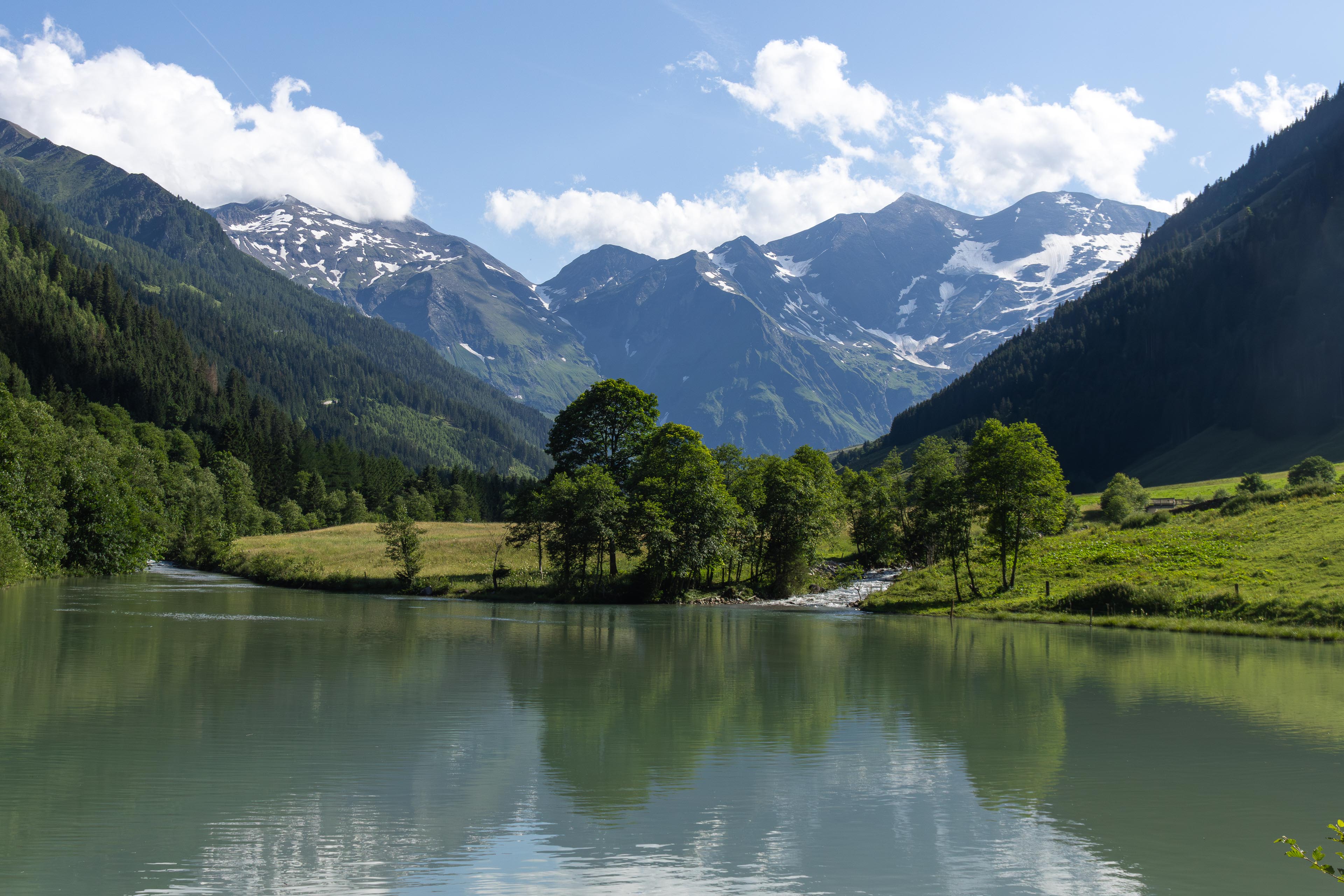
- Categories: Spring / Summer / Autumn / Human continental / Ice cap / Highland / Mountain / Foothill / Forest / Wood / Rural / Lake / River / Stream / Waterfall
- Duration: 7 Days
- Distance: 63 miles
Walking the trail:
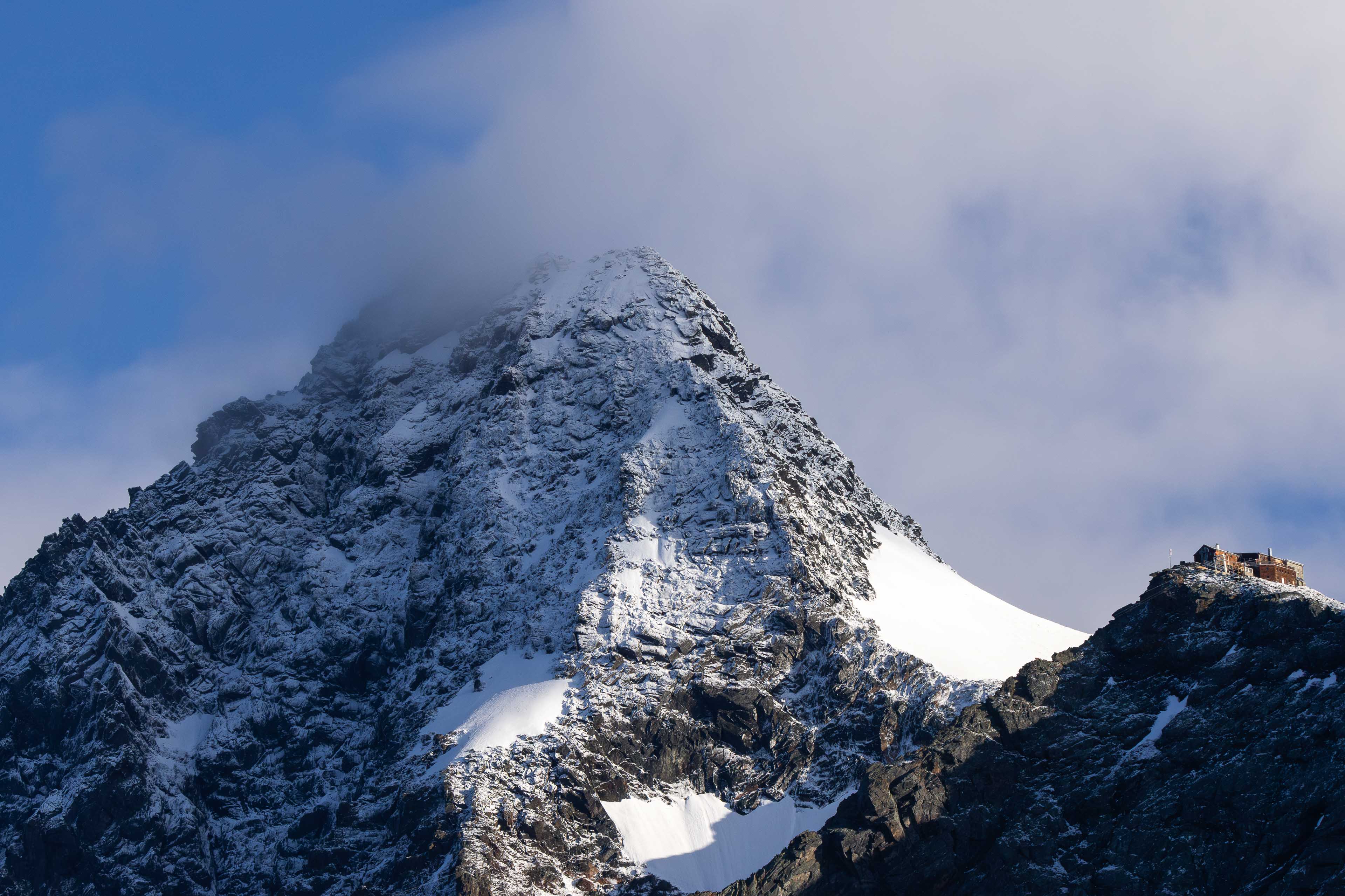
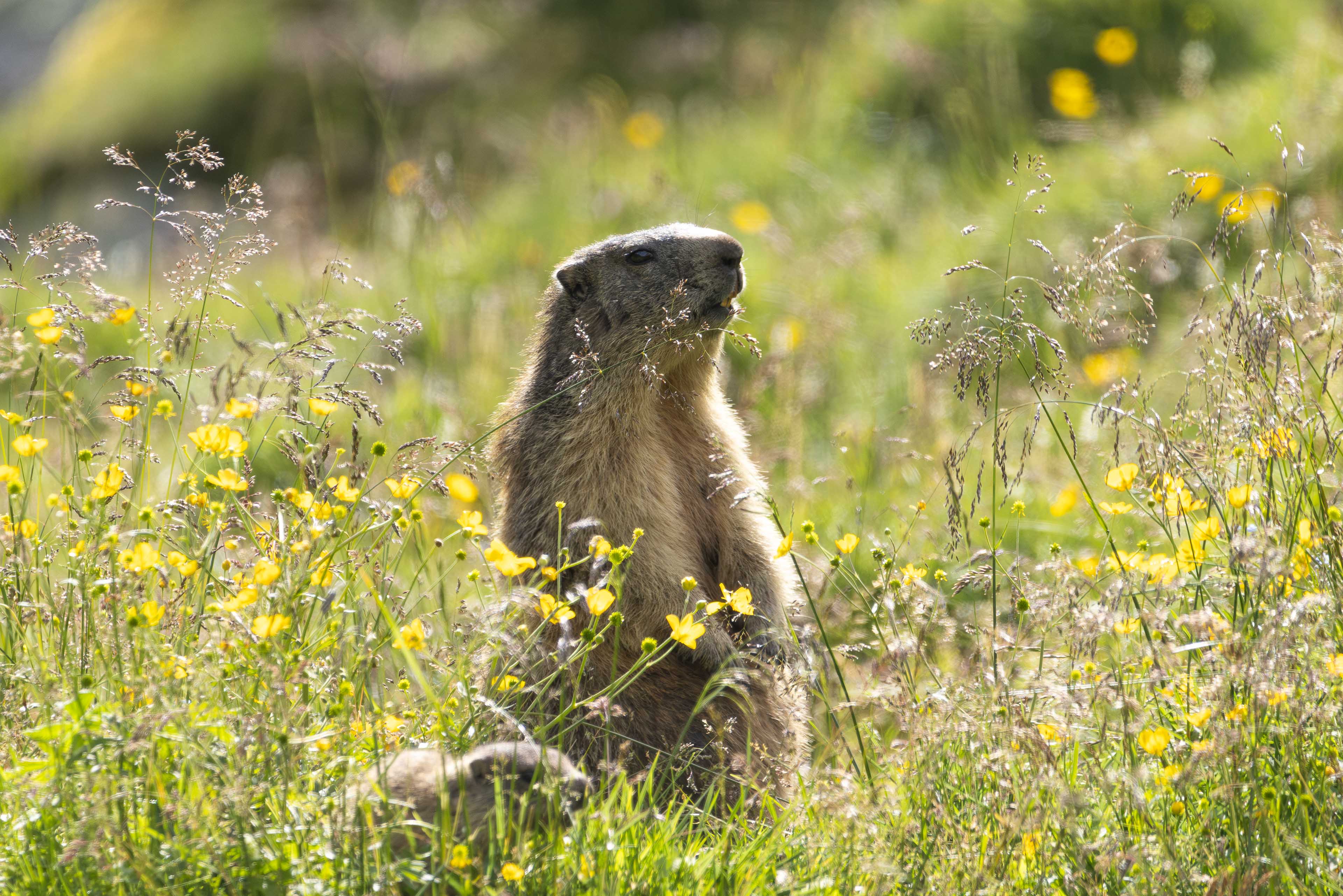
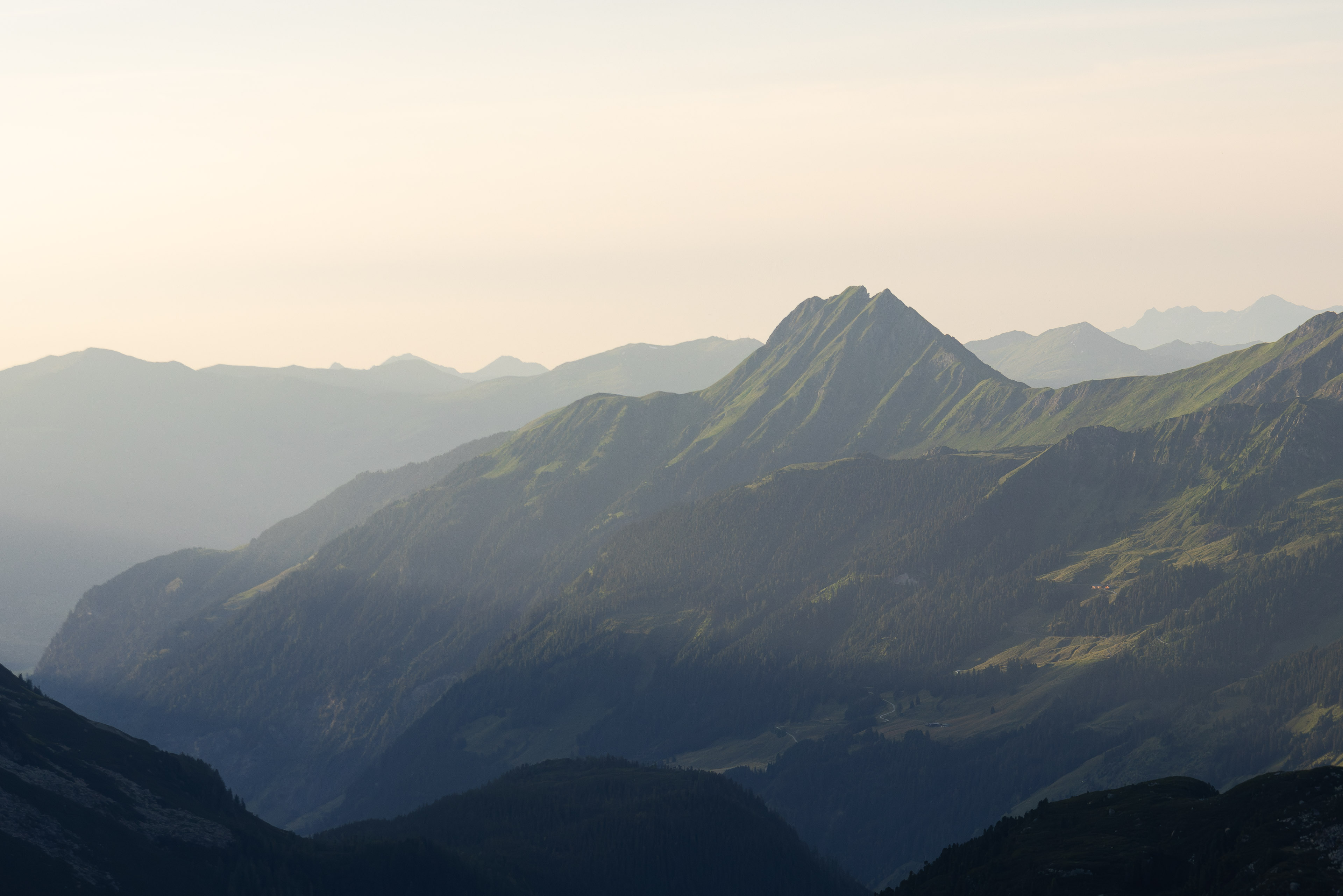
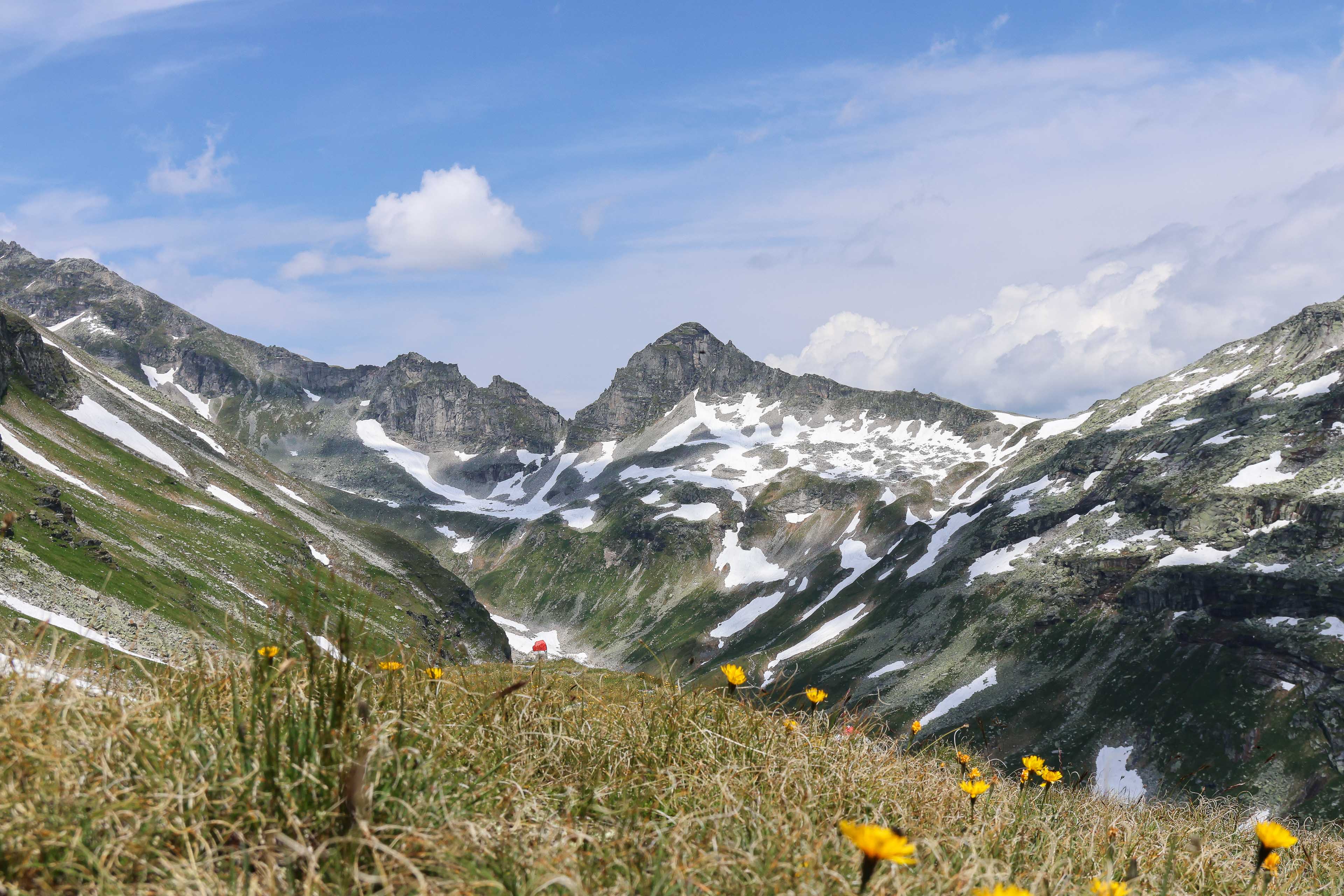
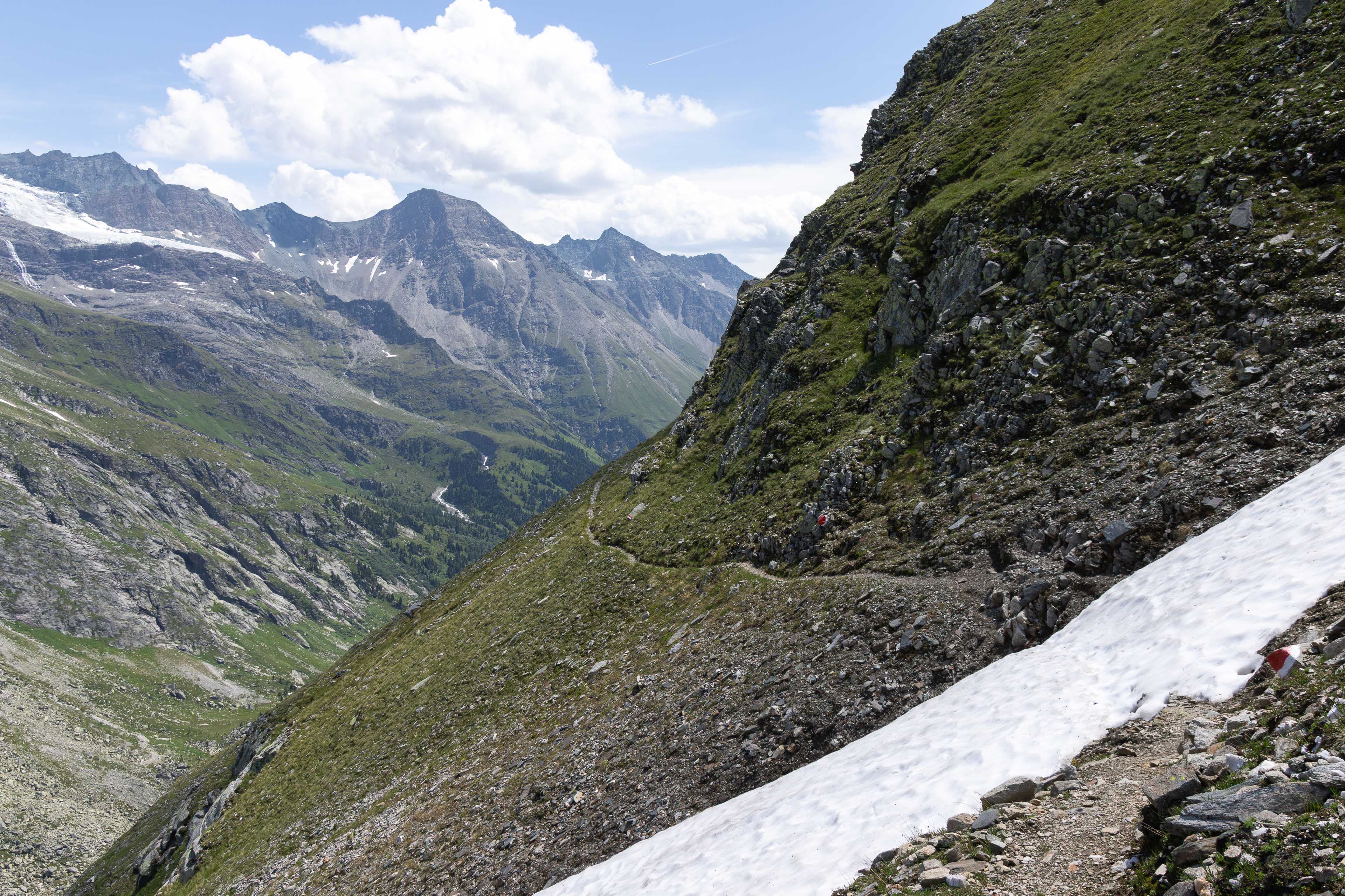
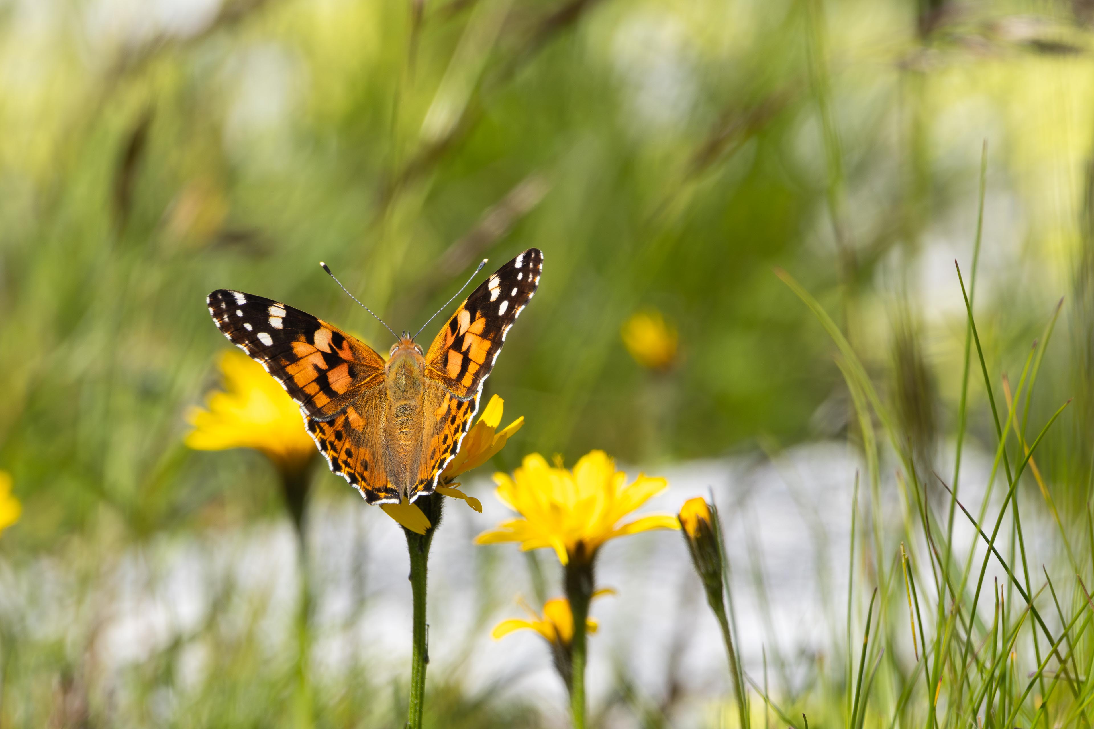
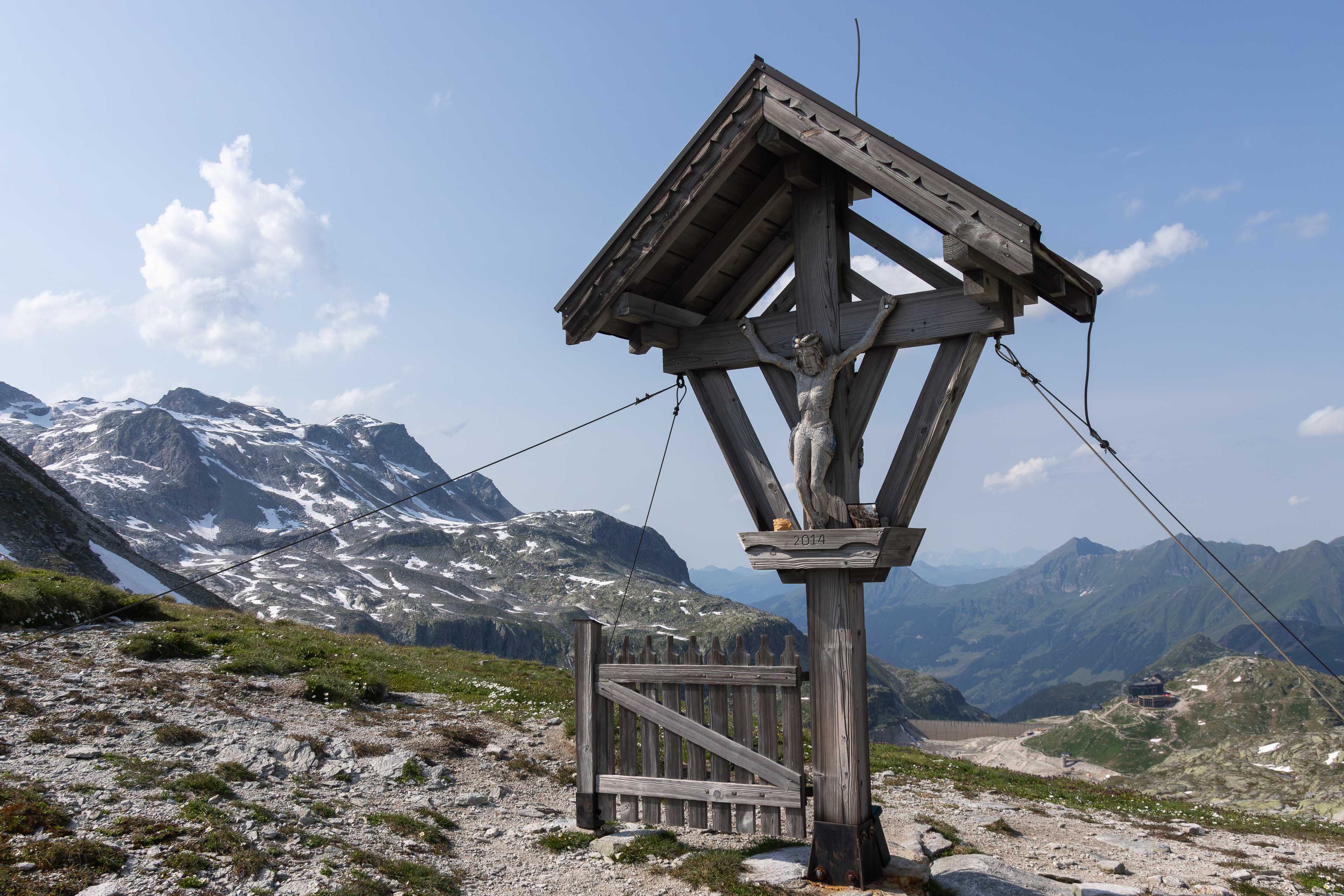
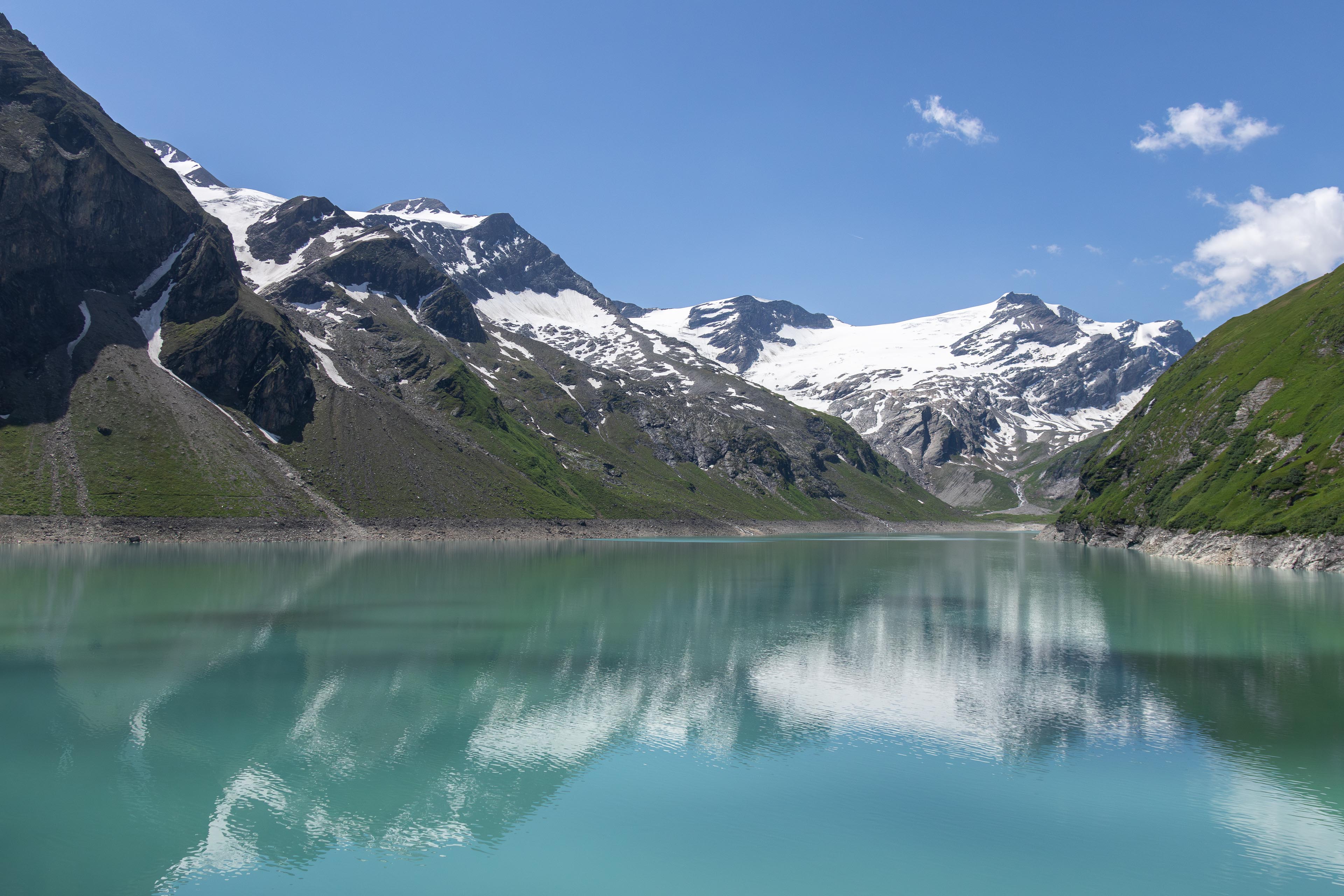
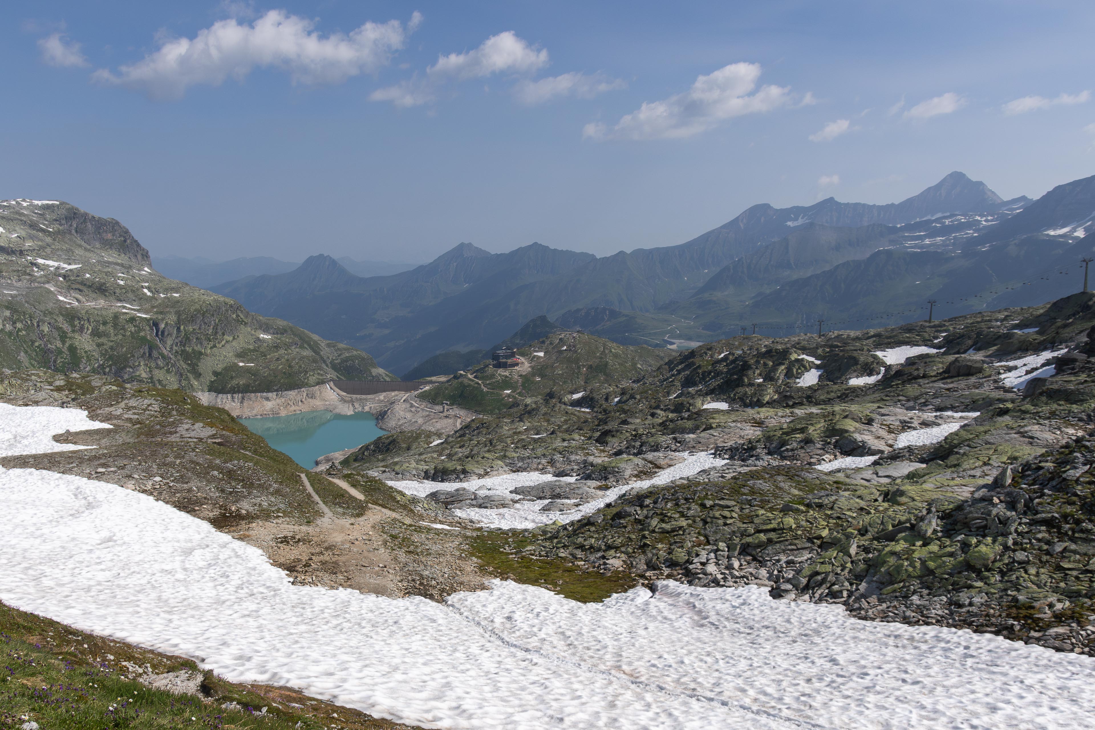
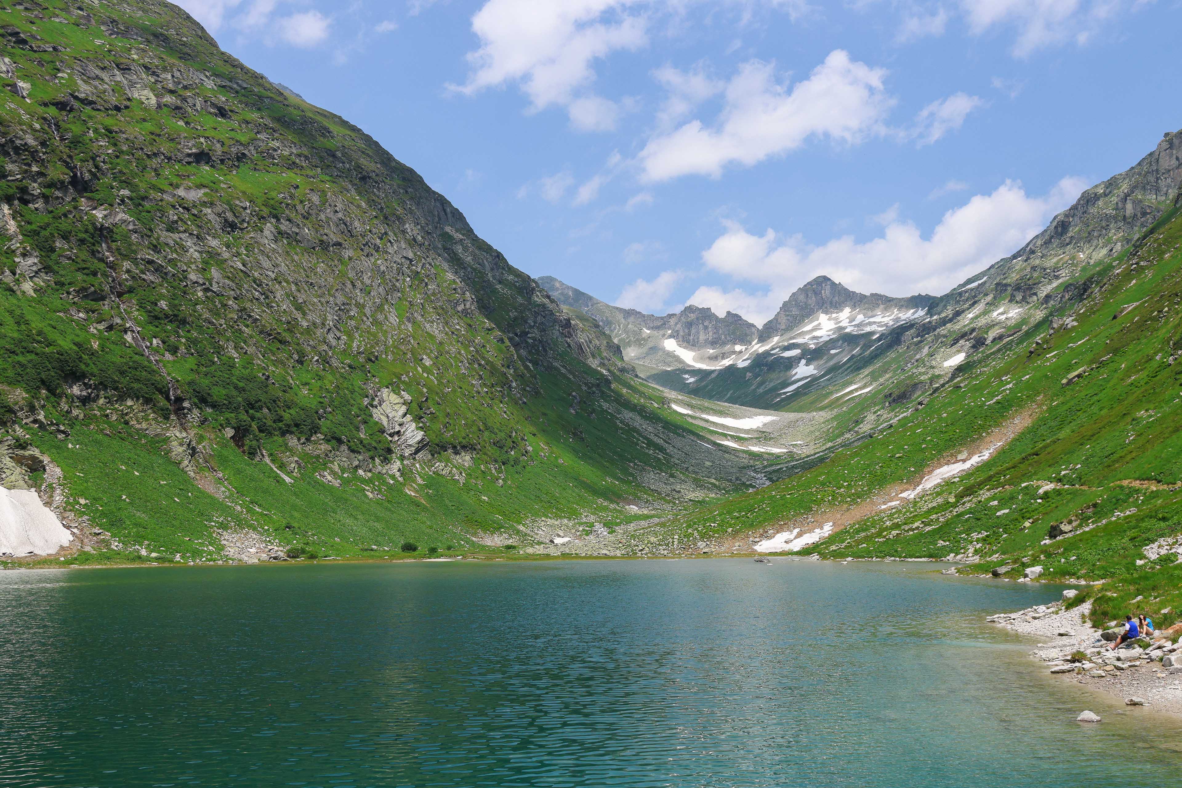
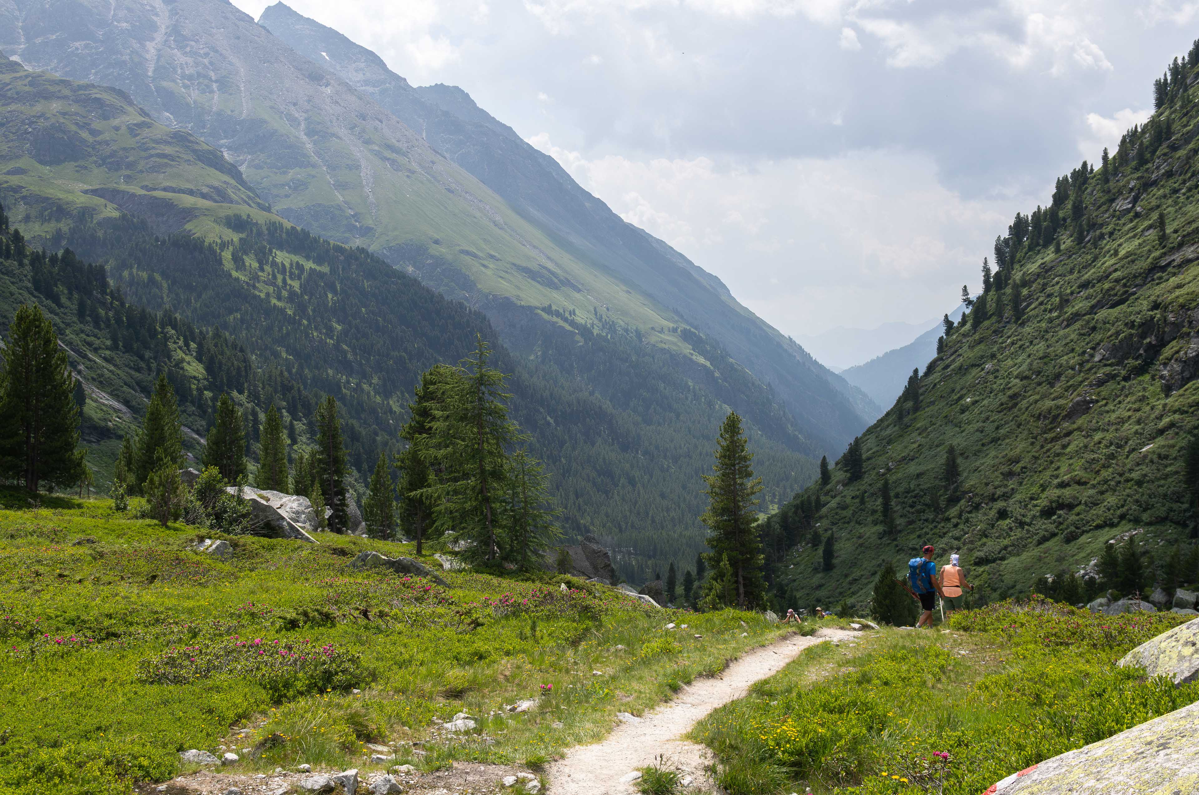
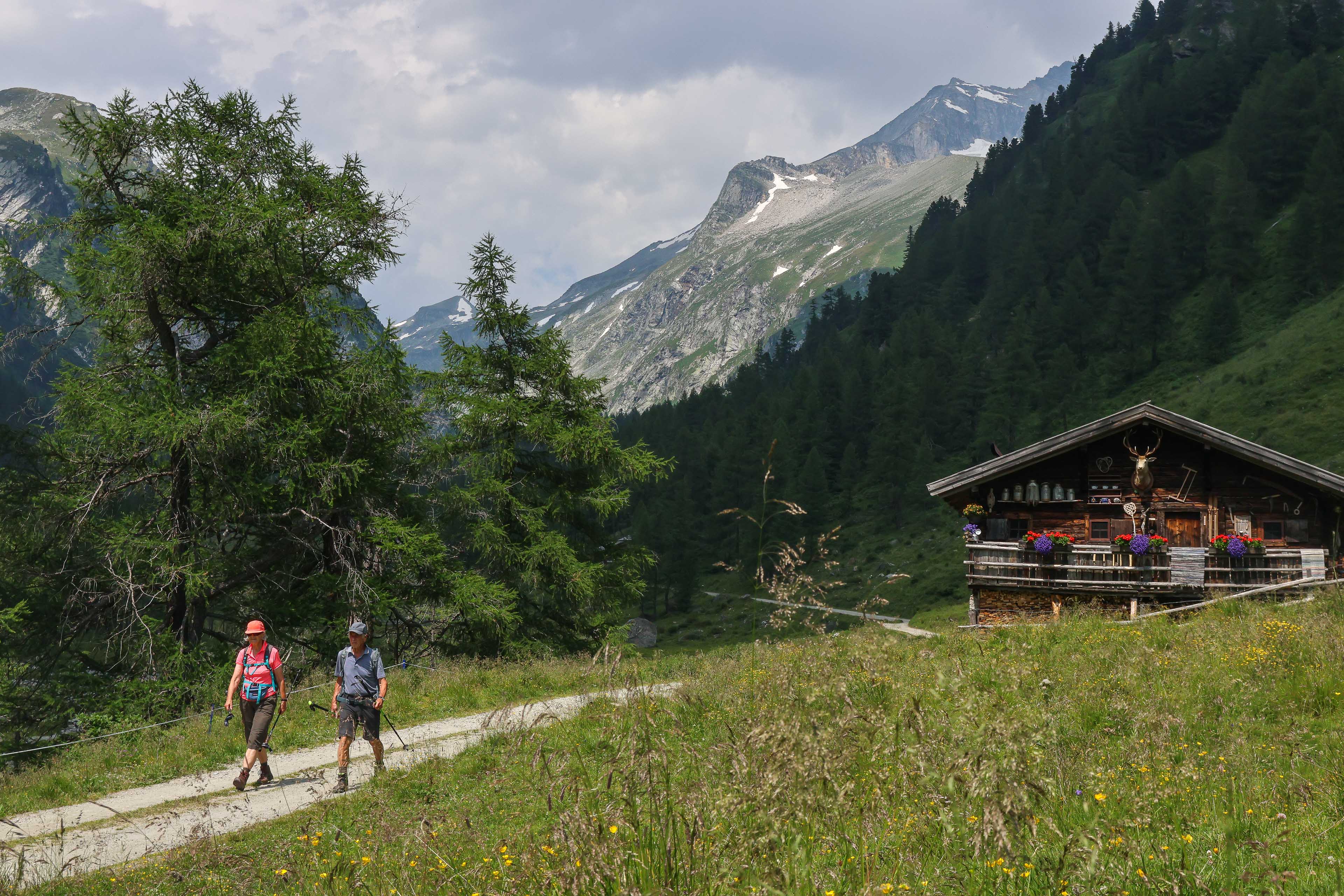
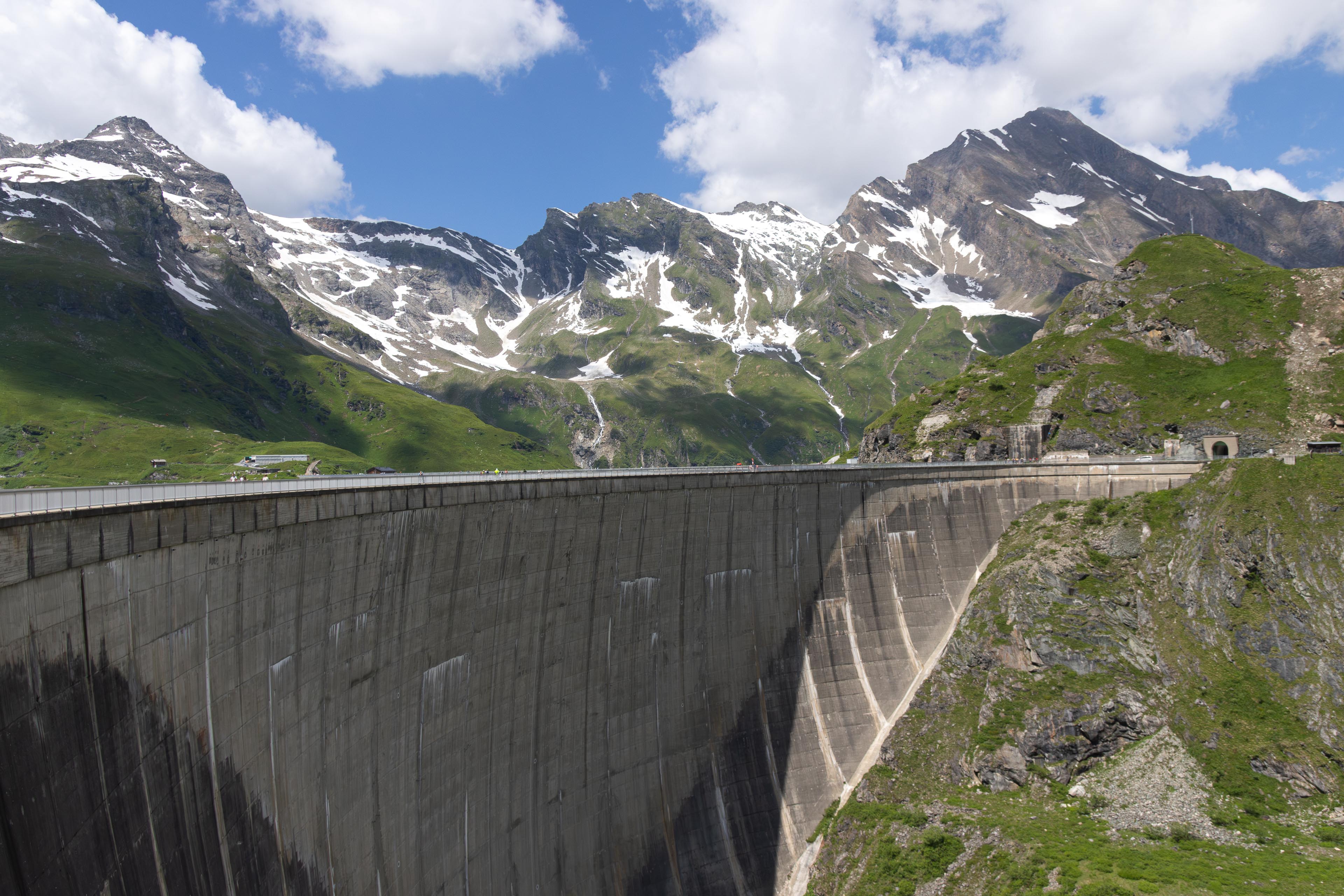
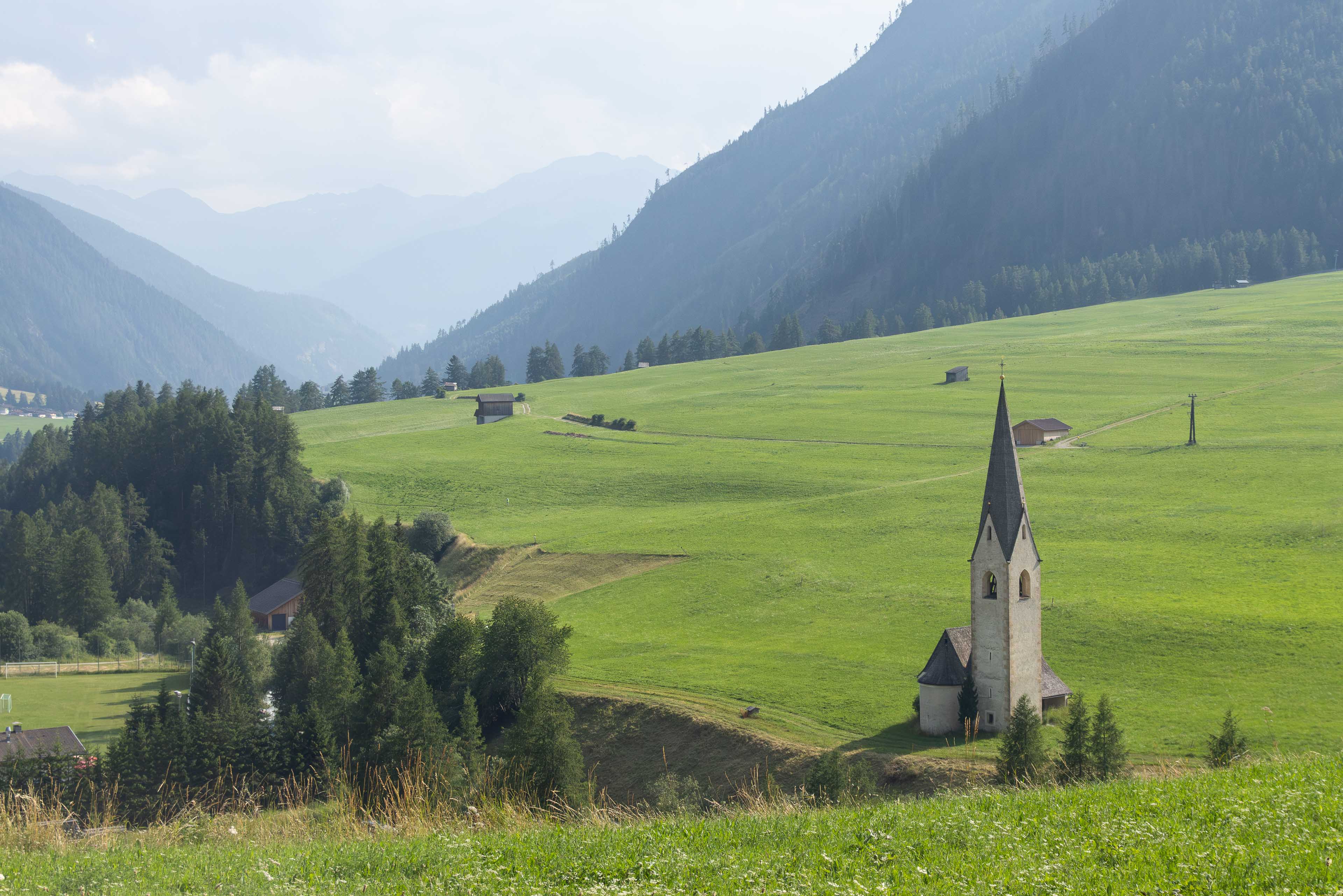
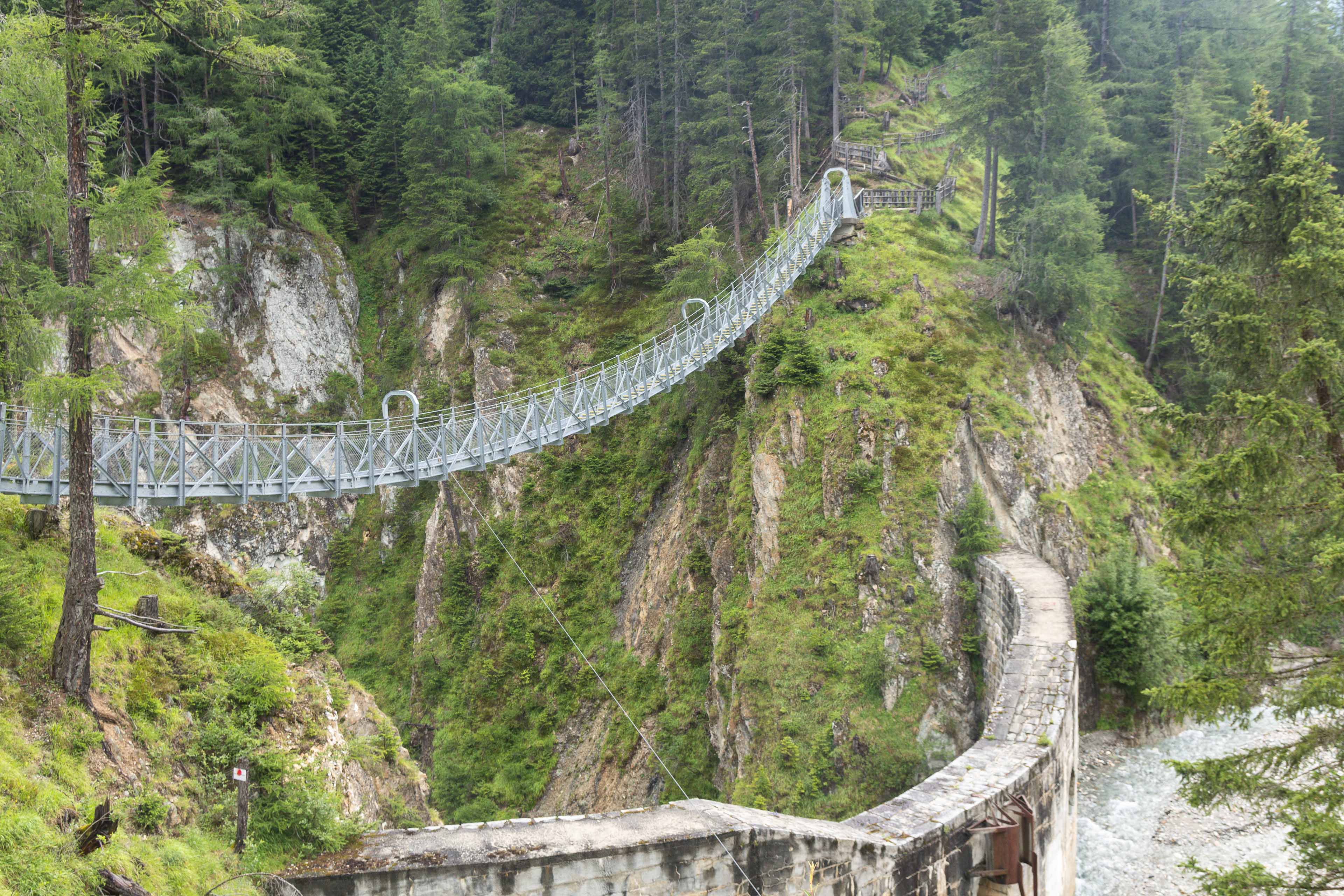
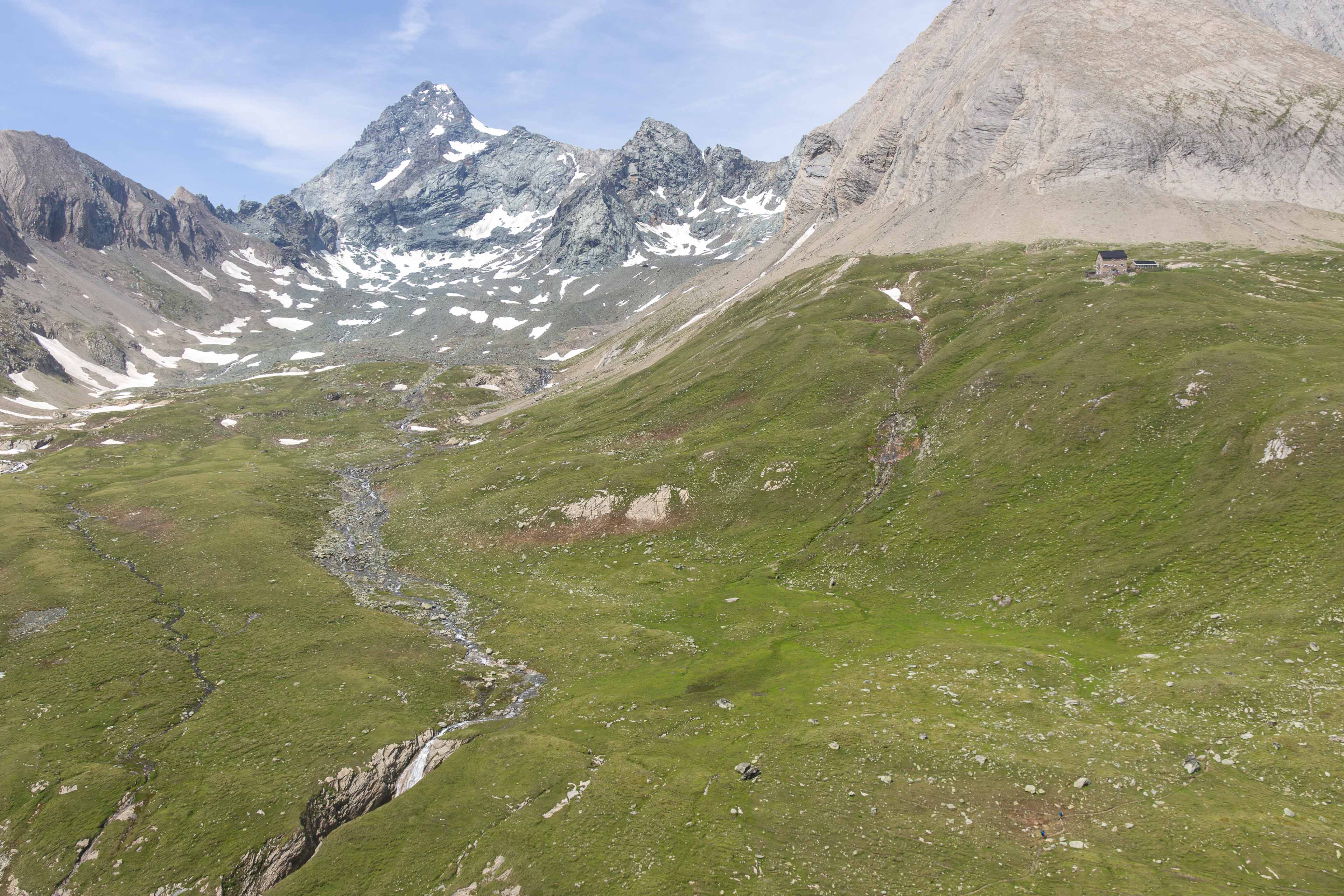
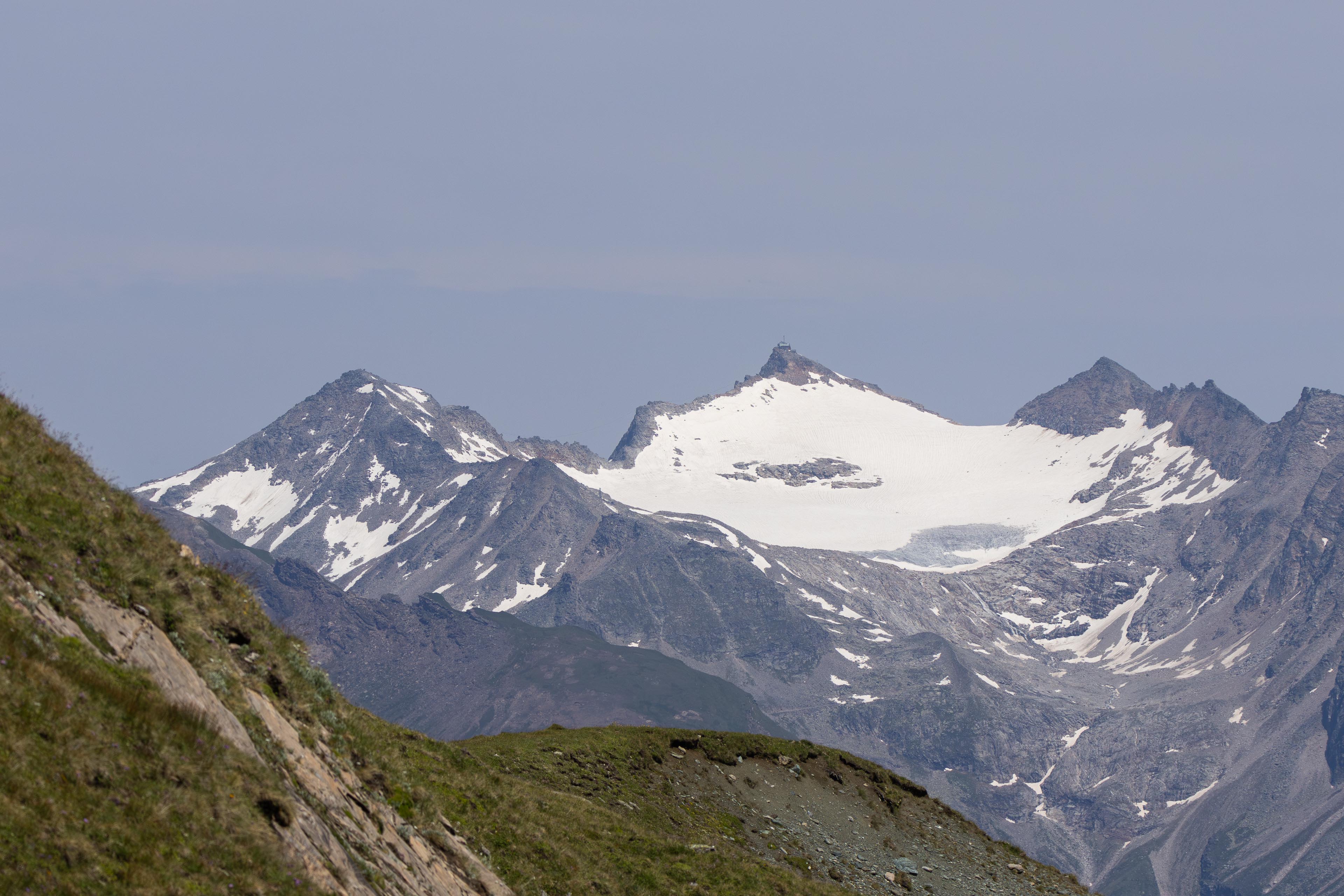
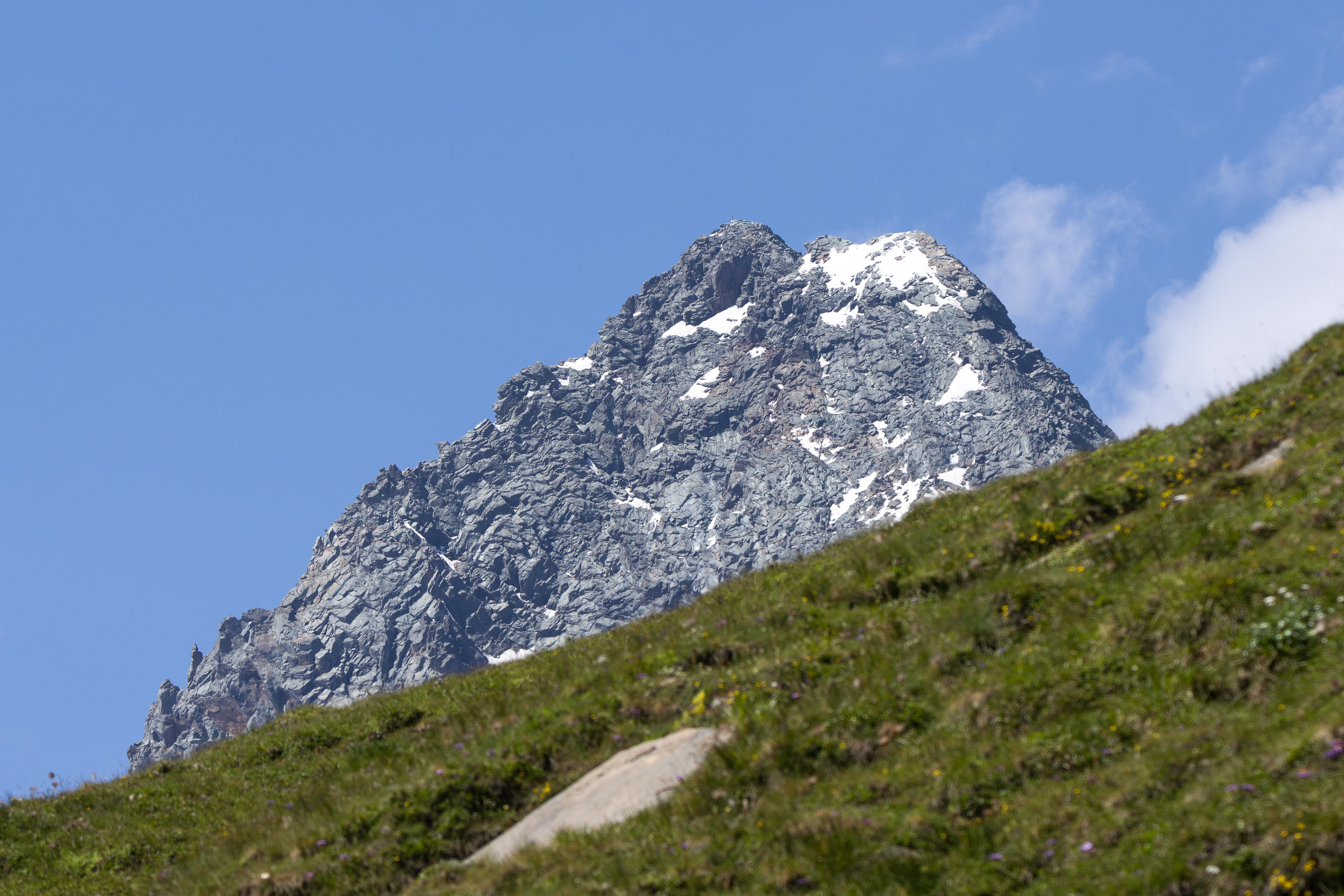
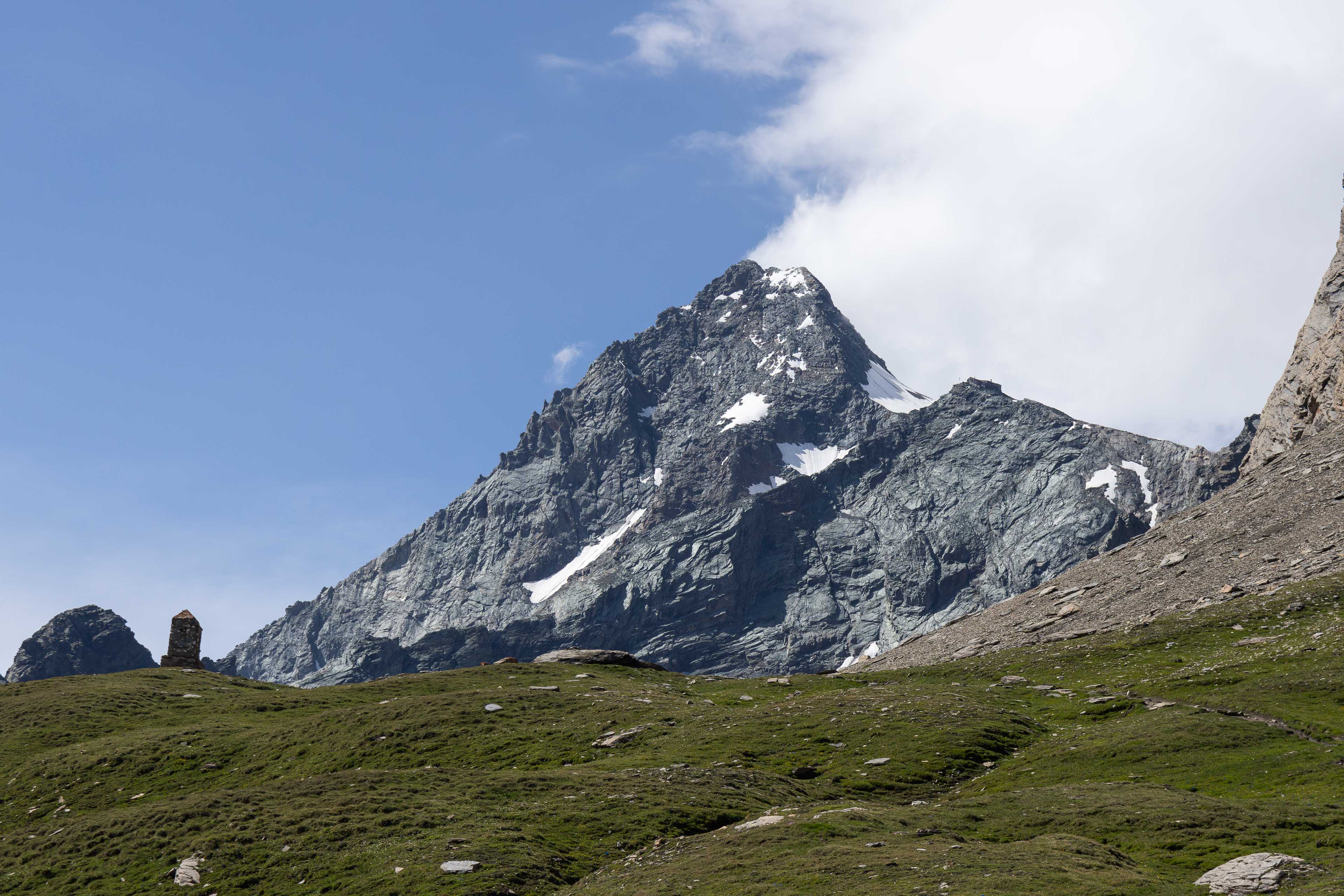
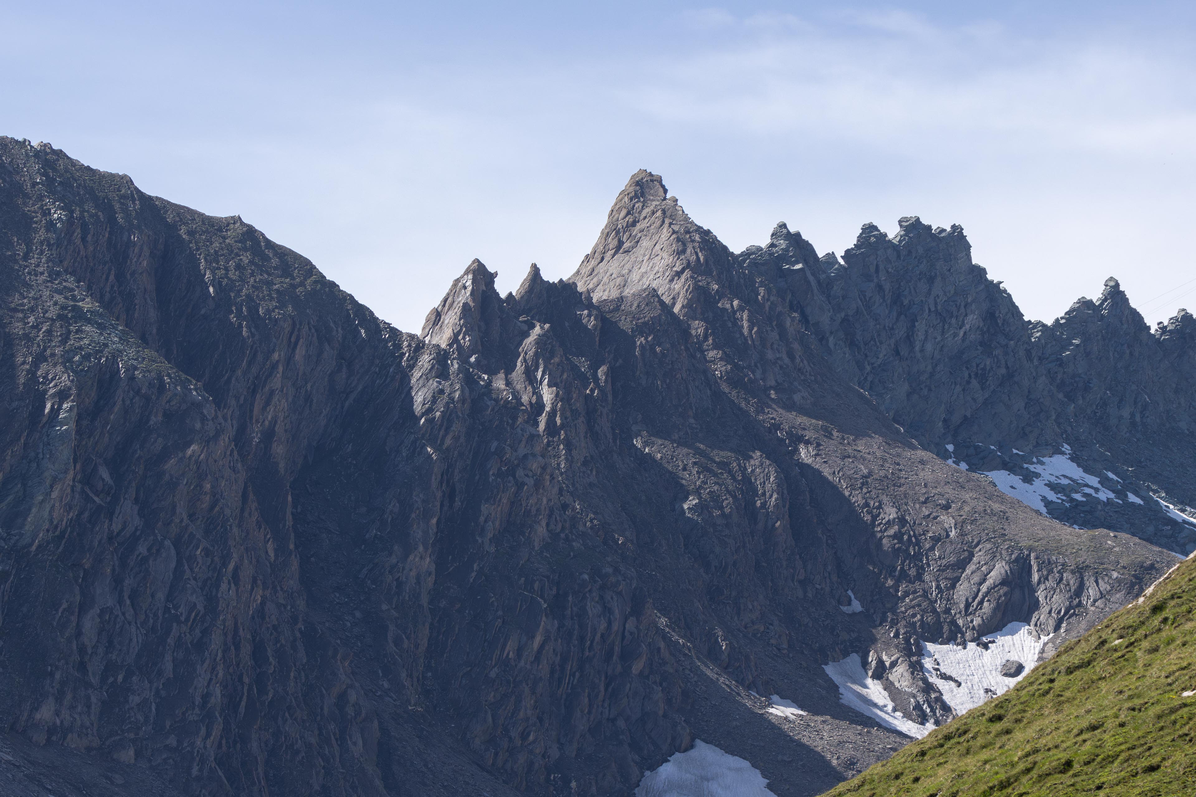
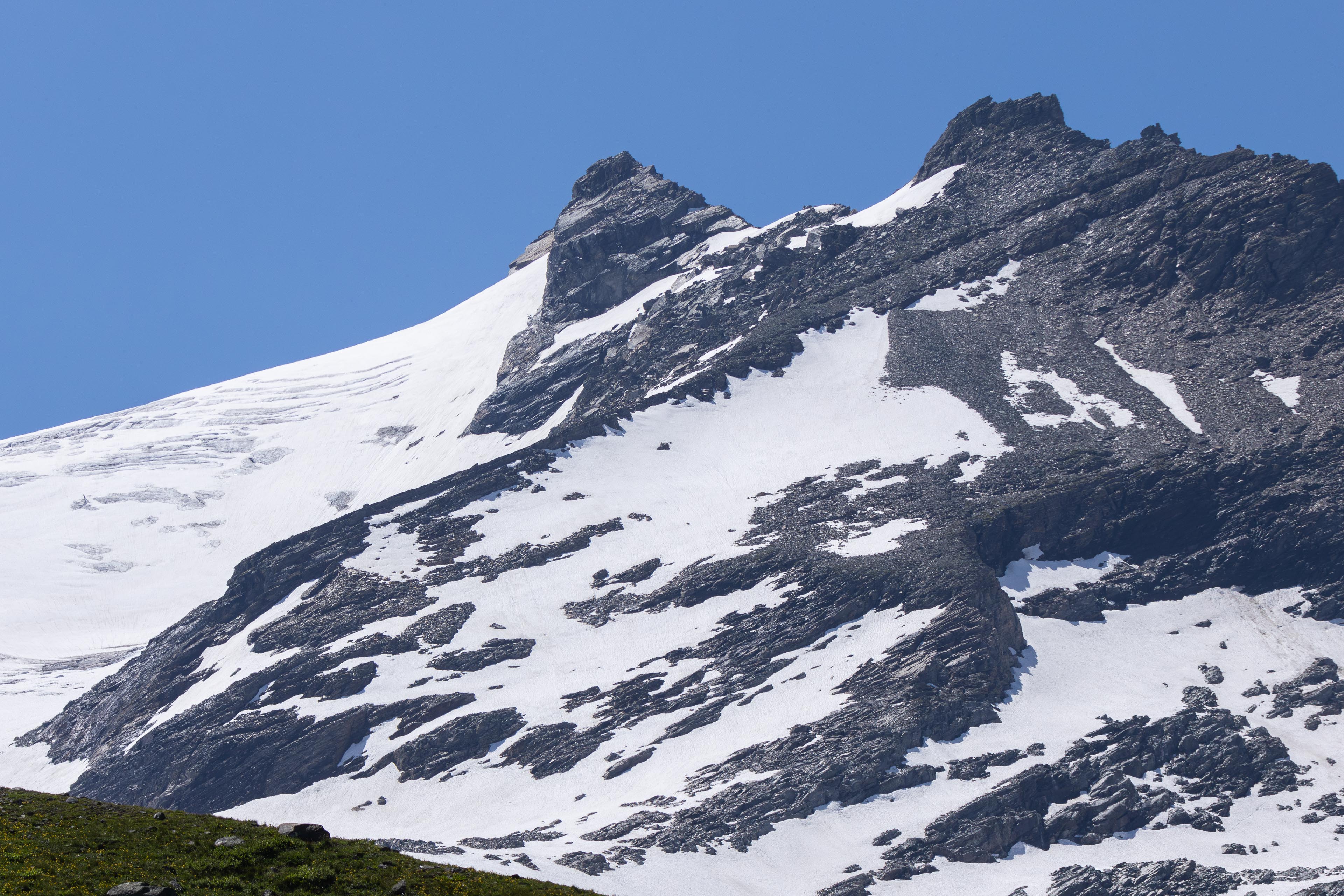
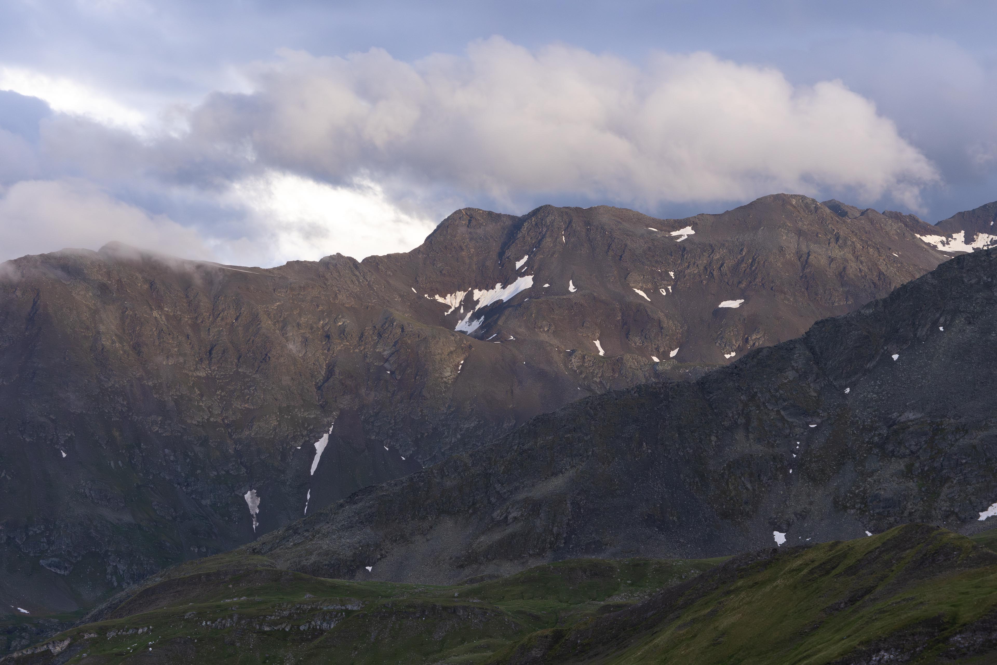
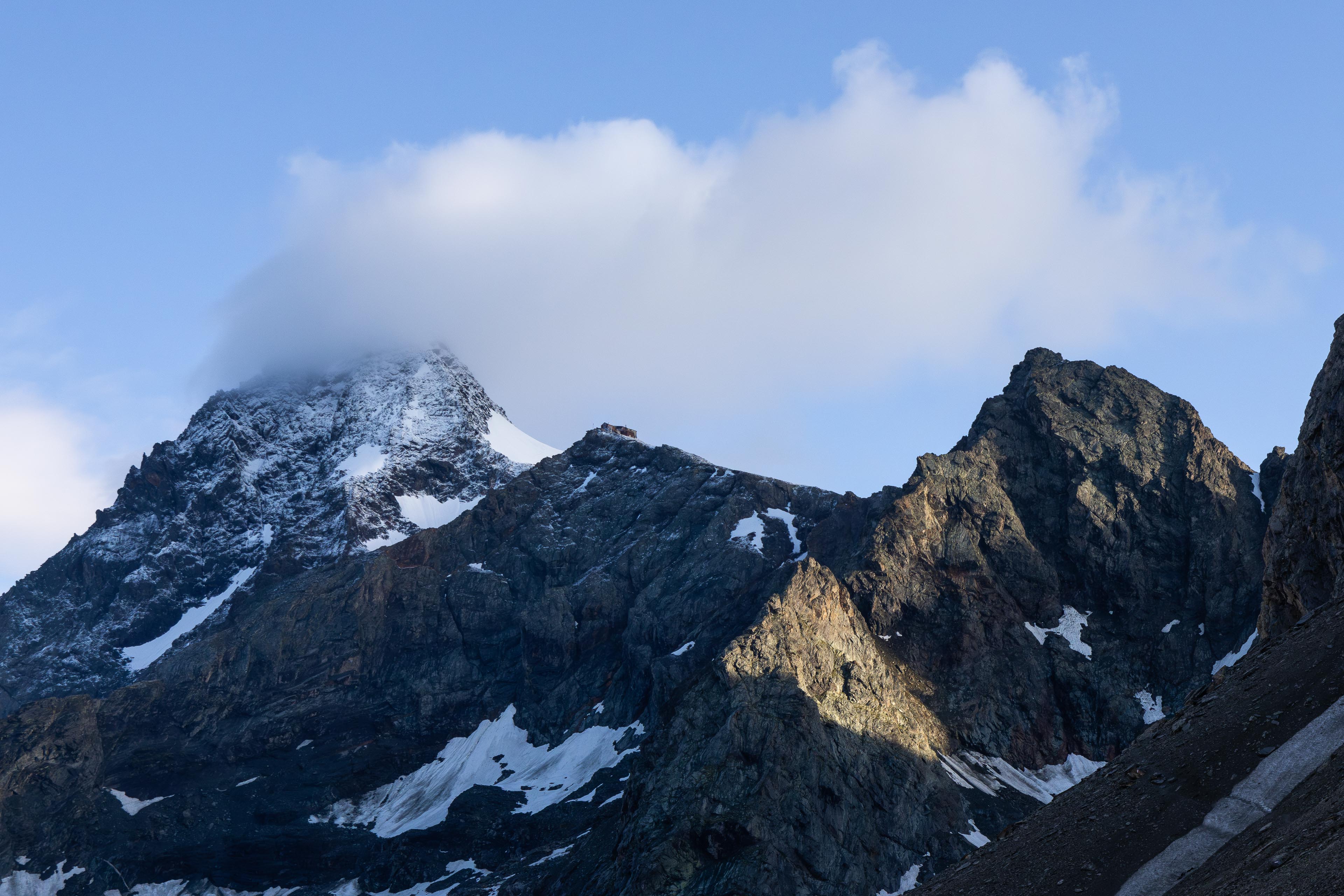
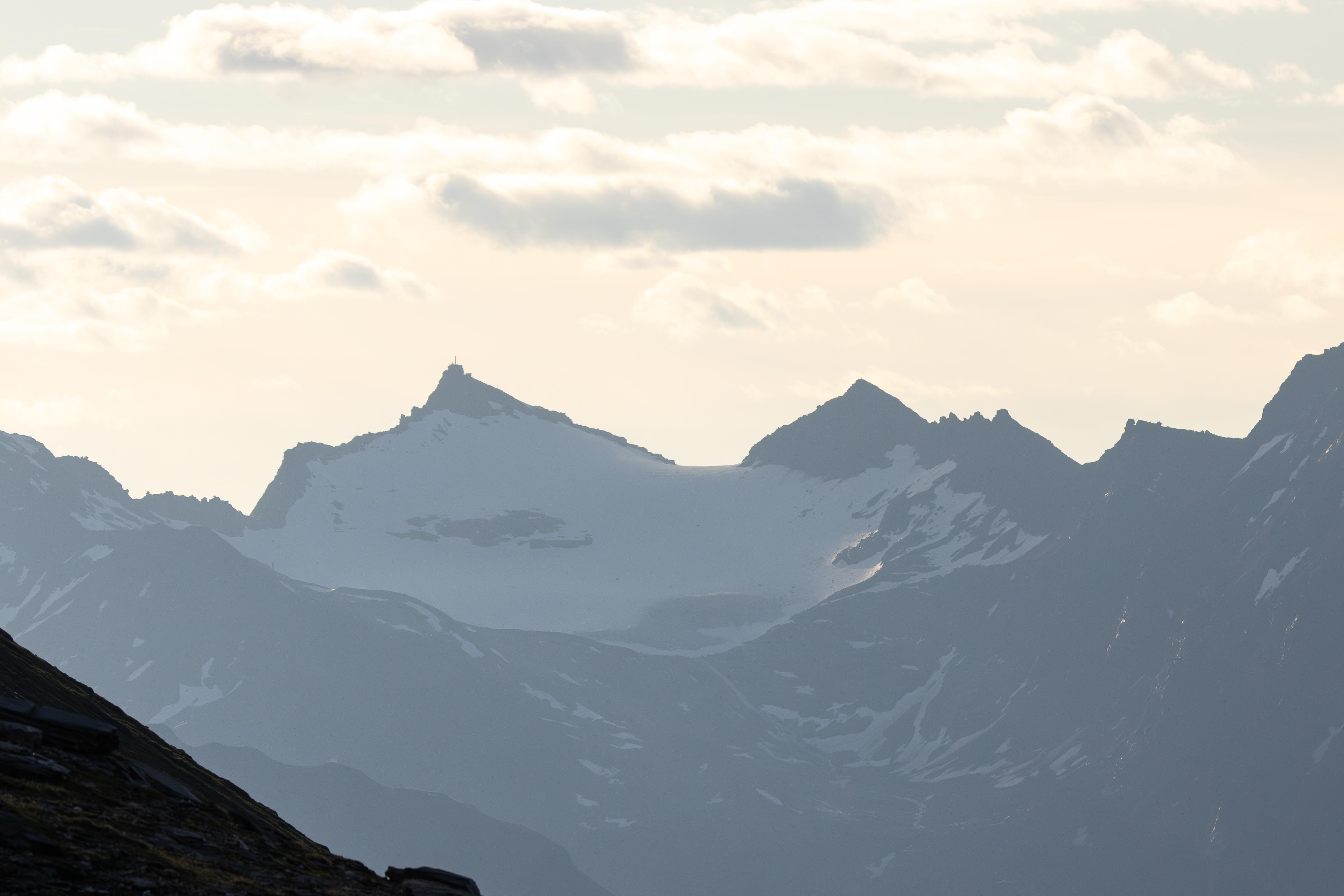
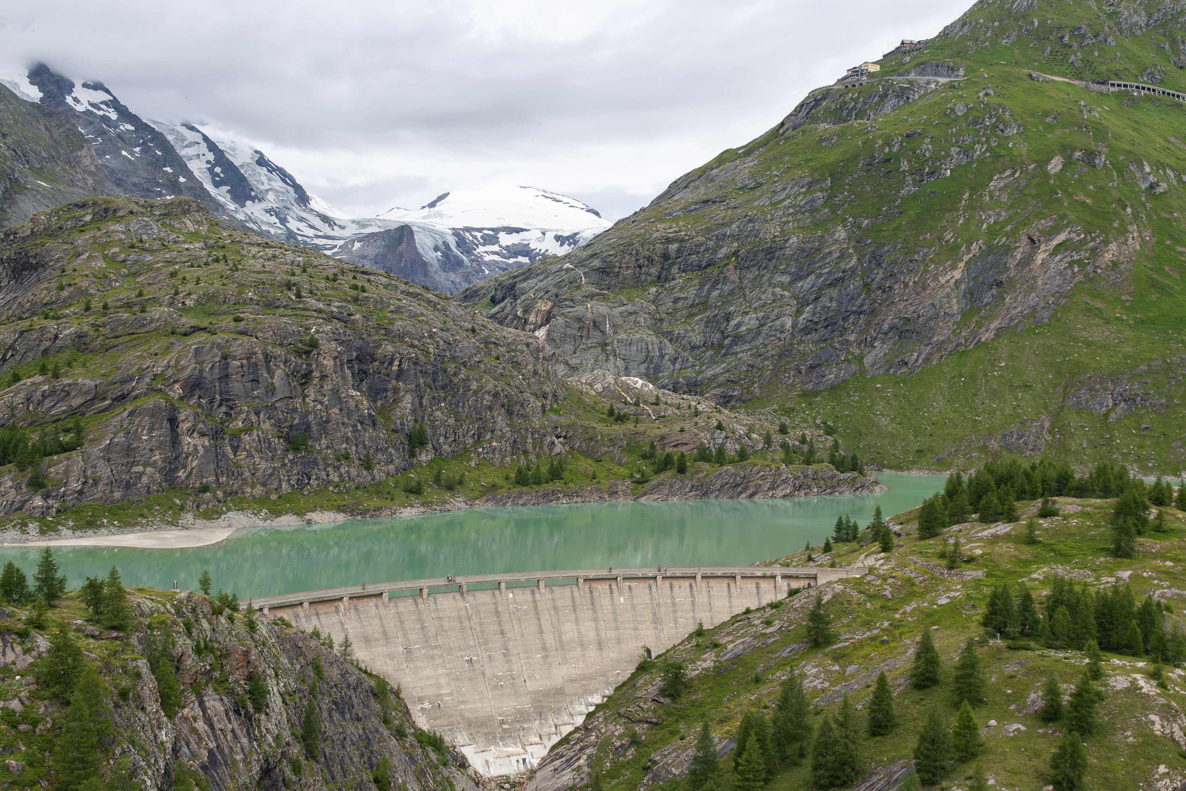
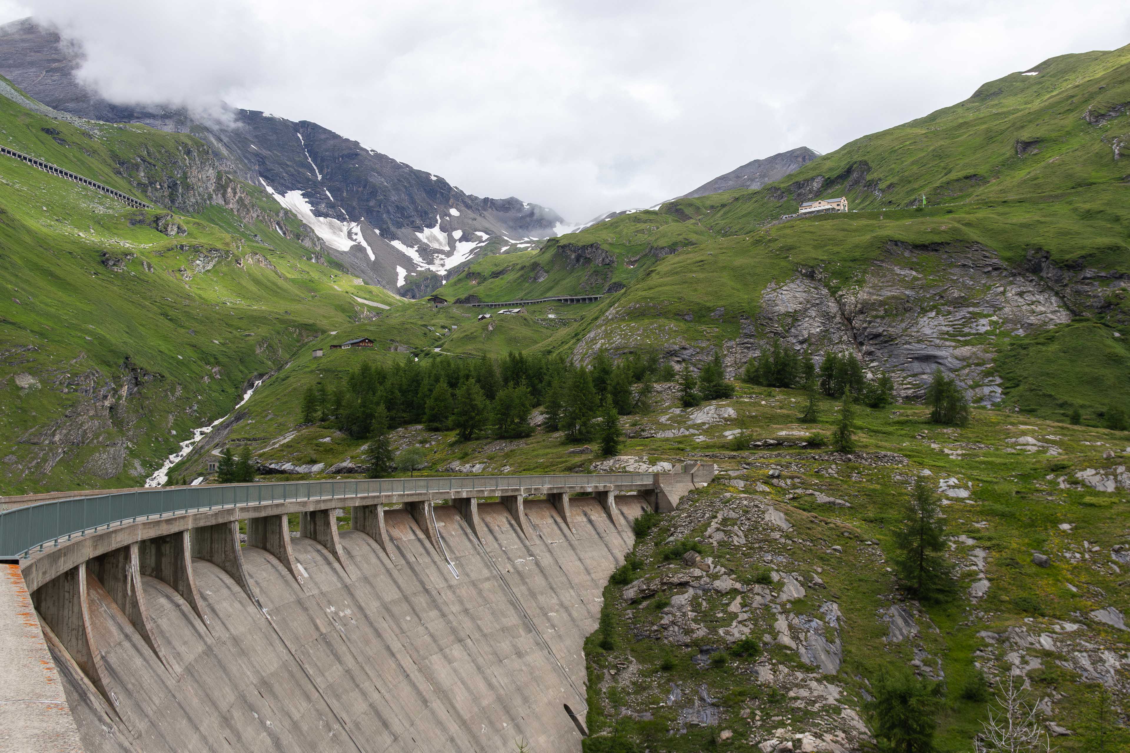
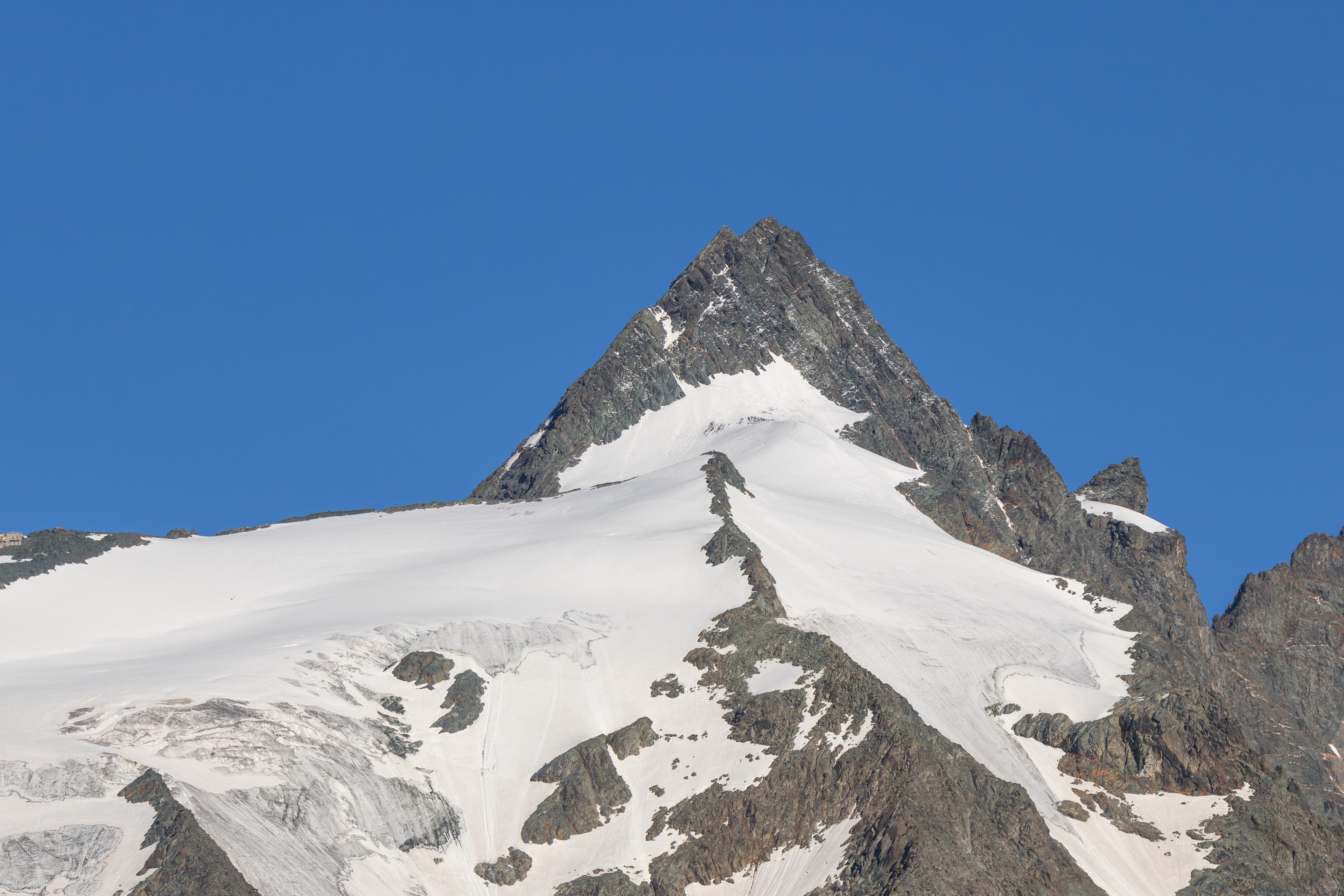
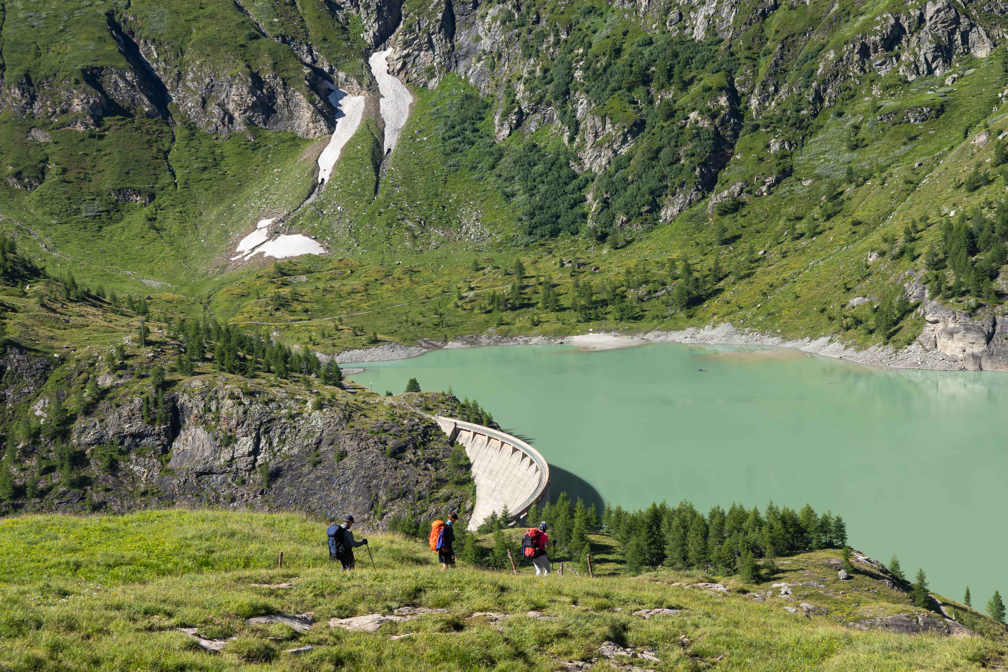
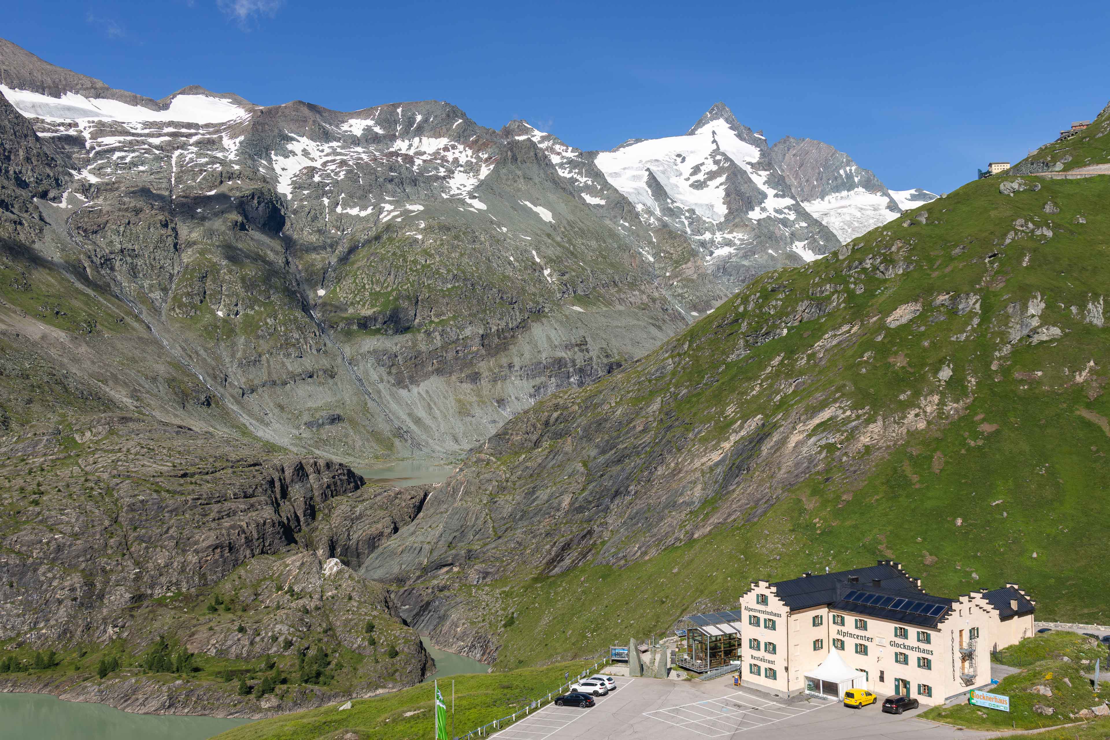
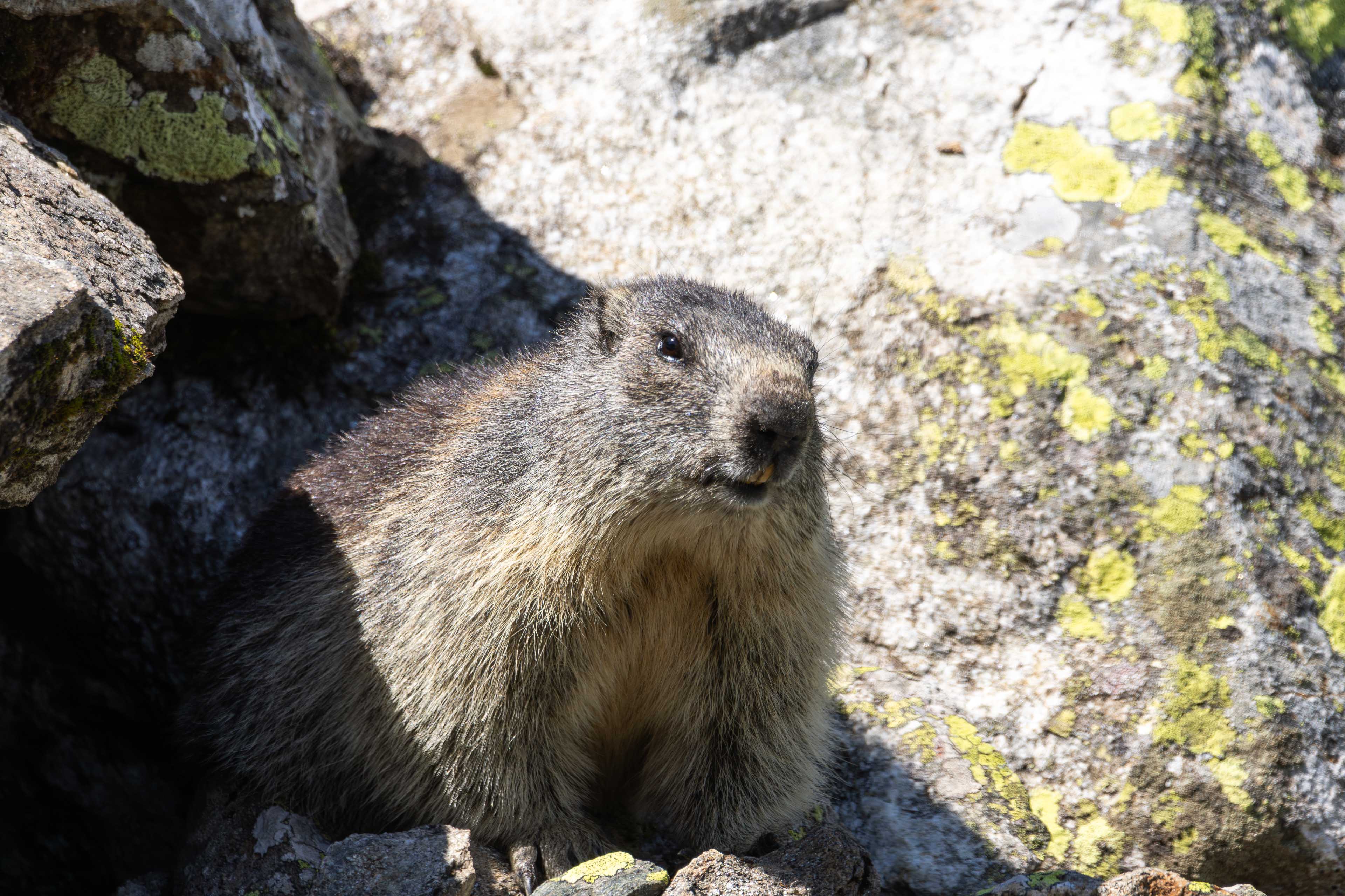
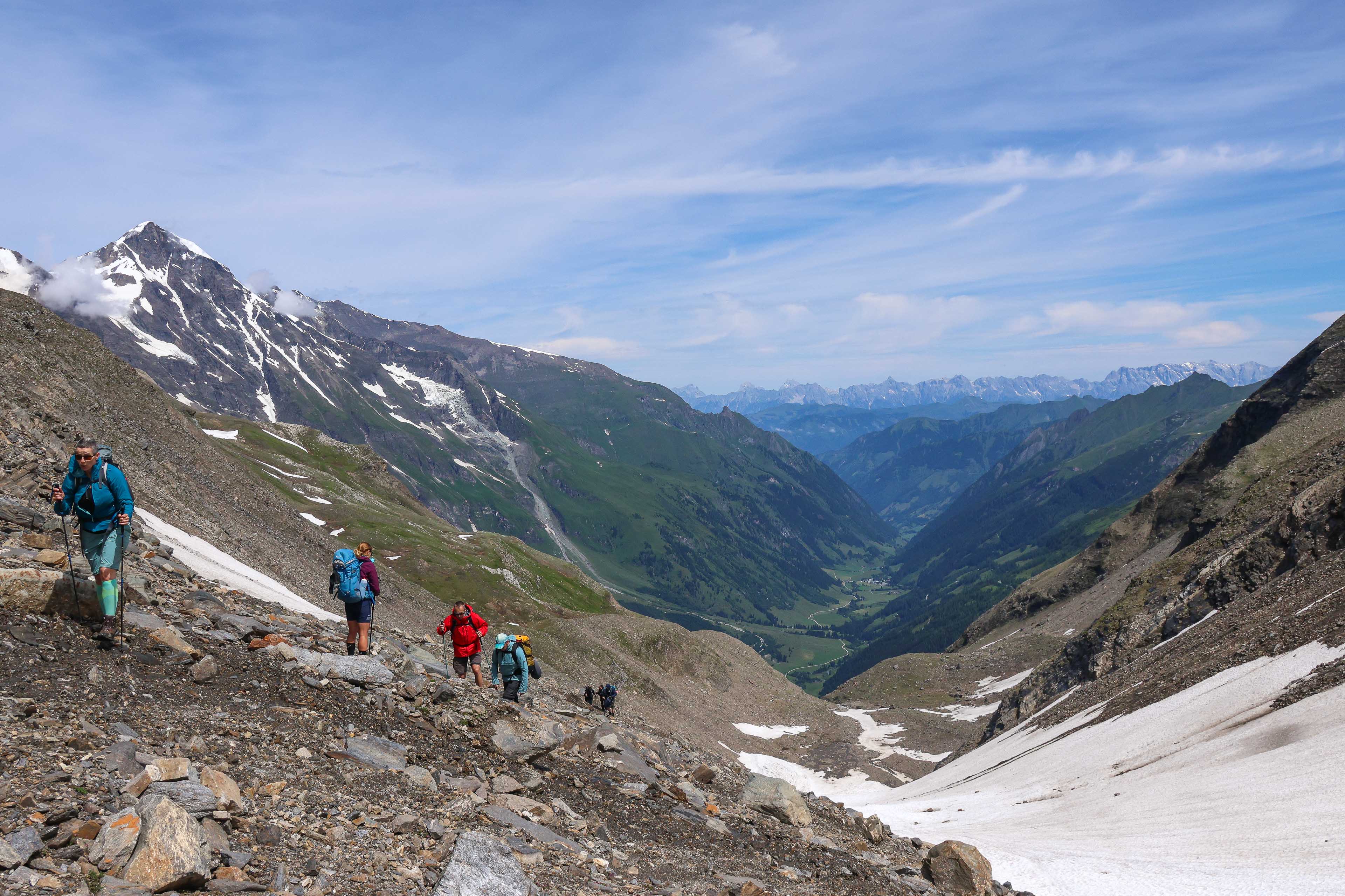
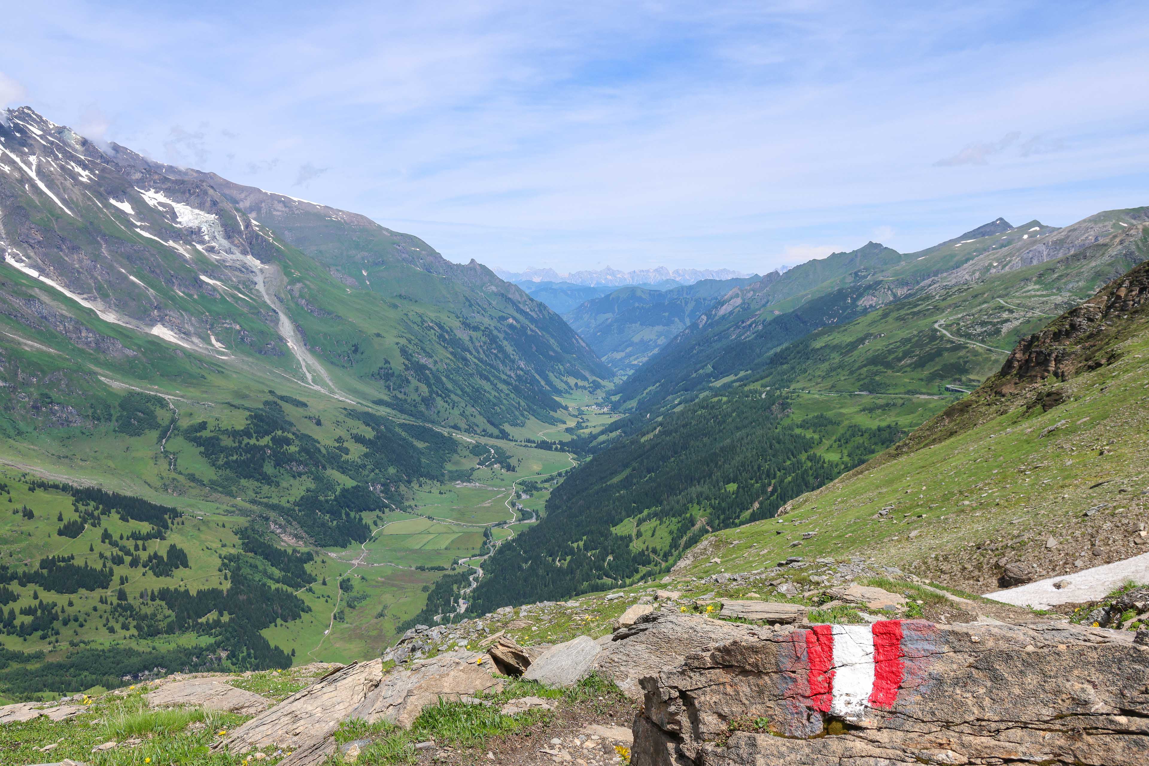
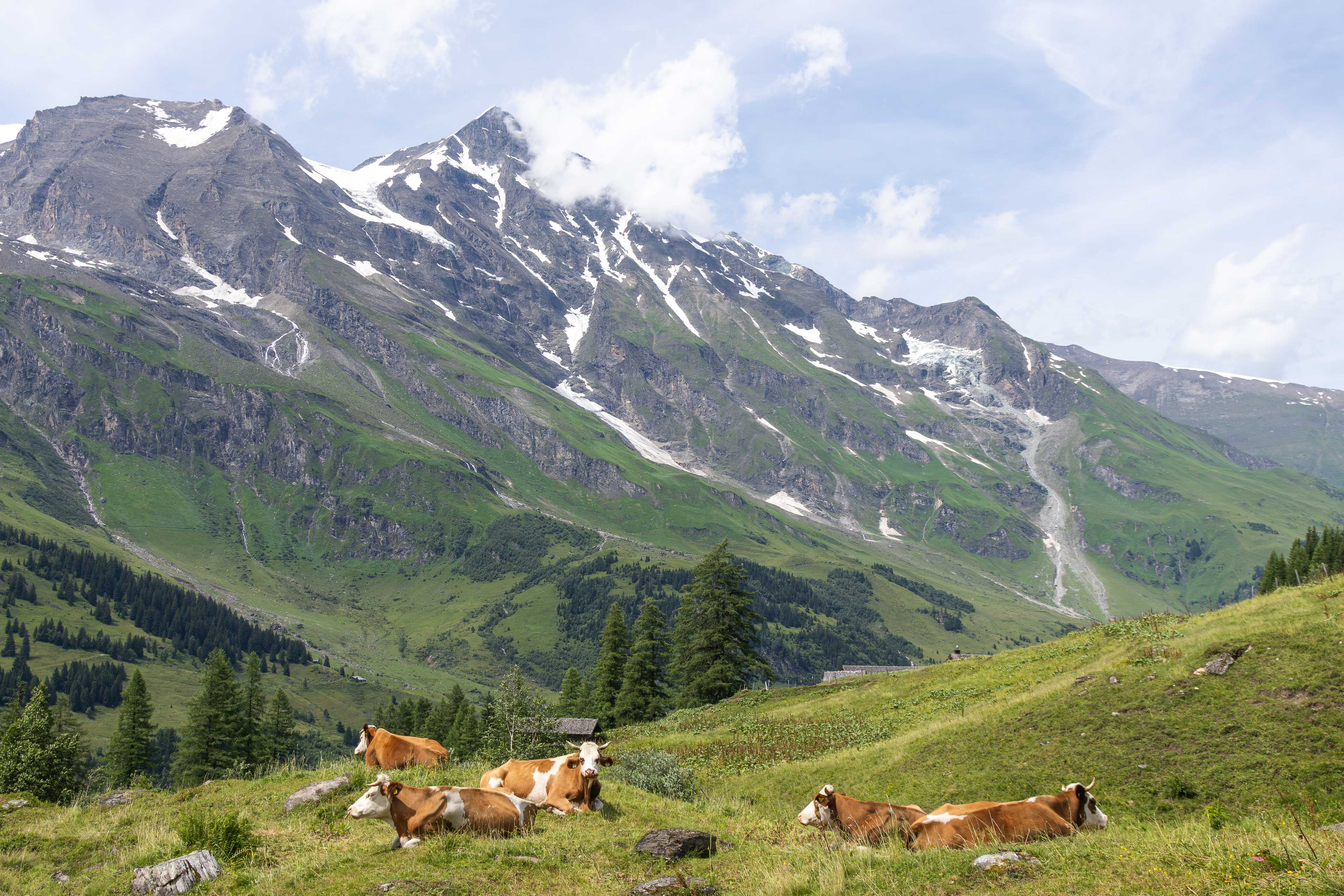
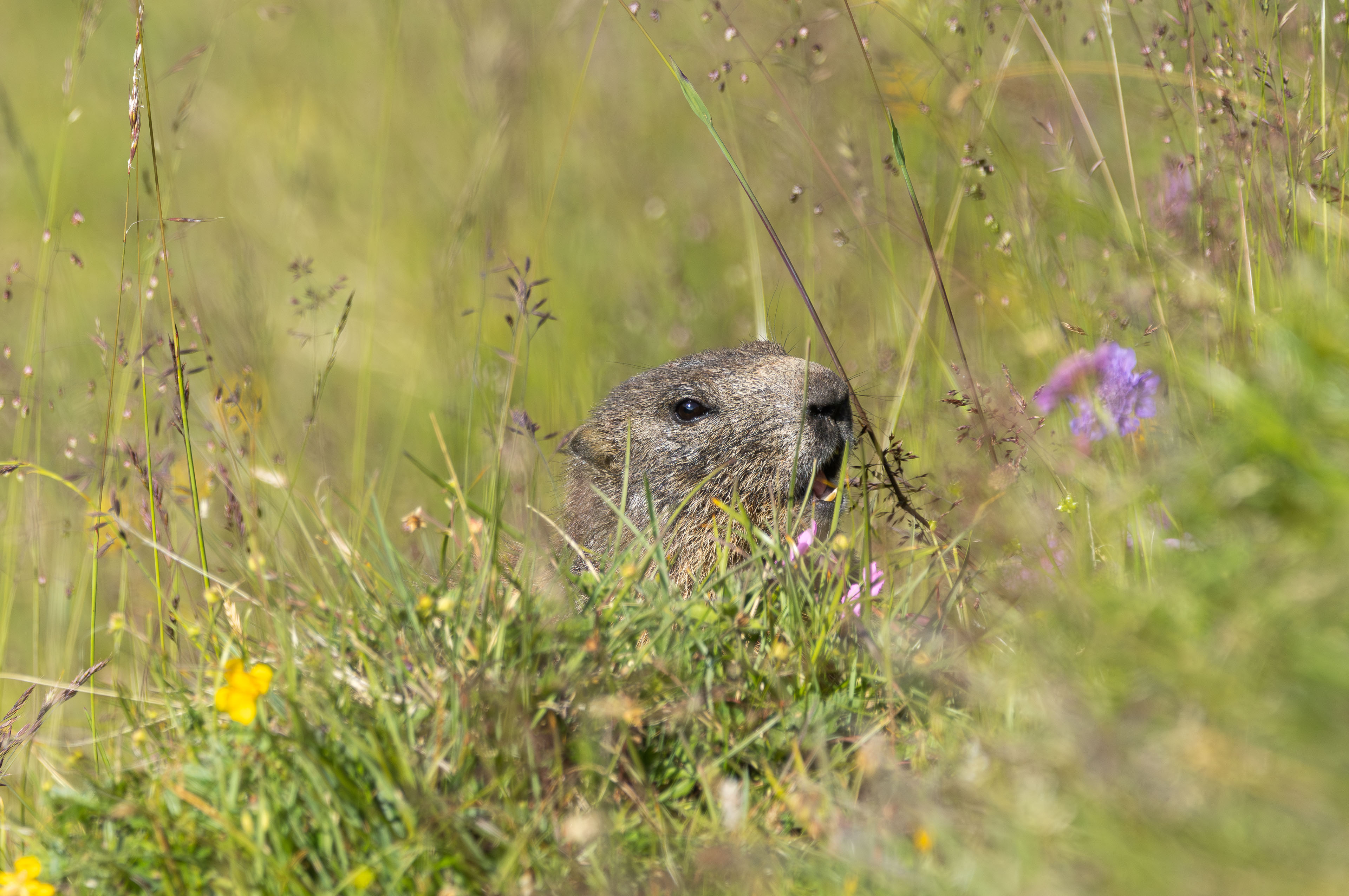
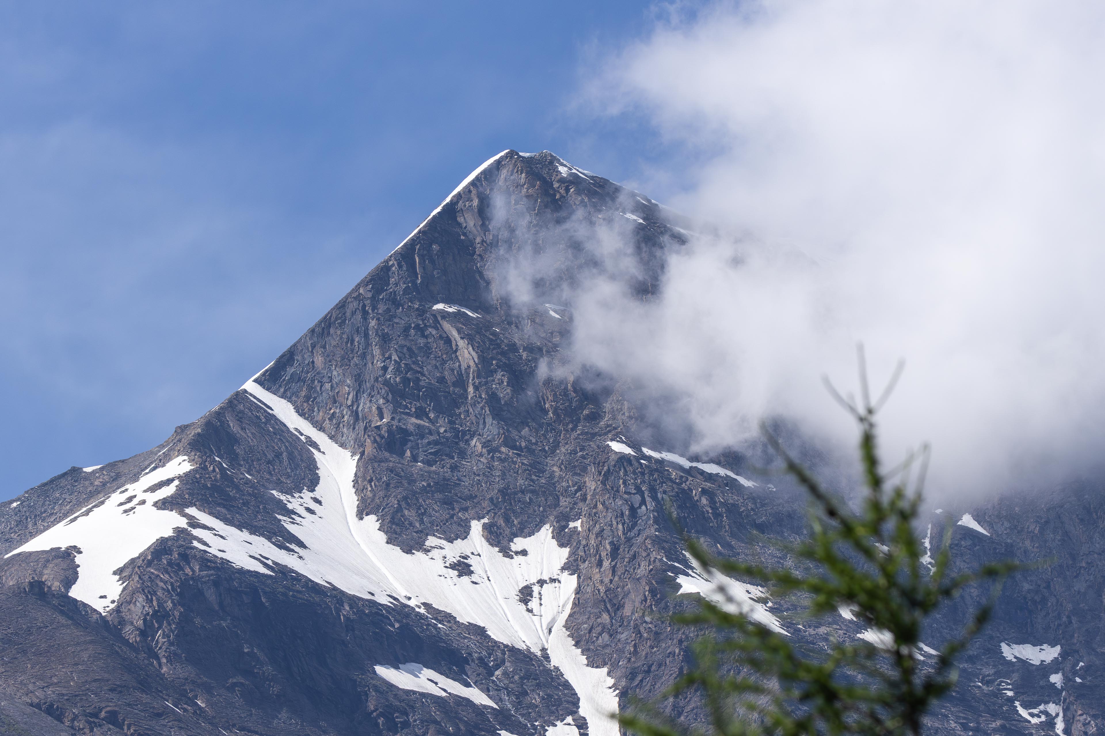
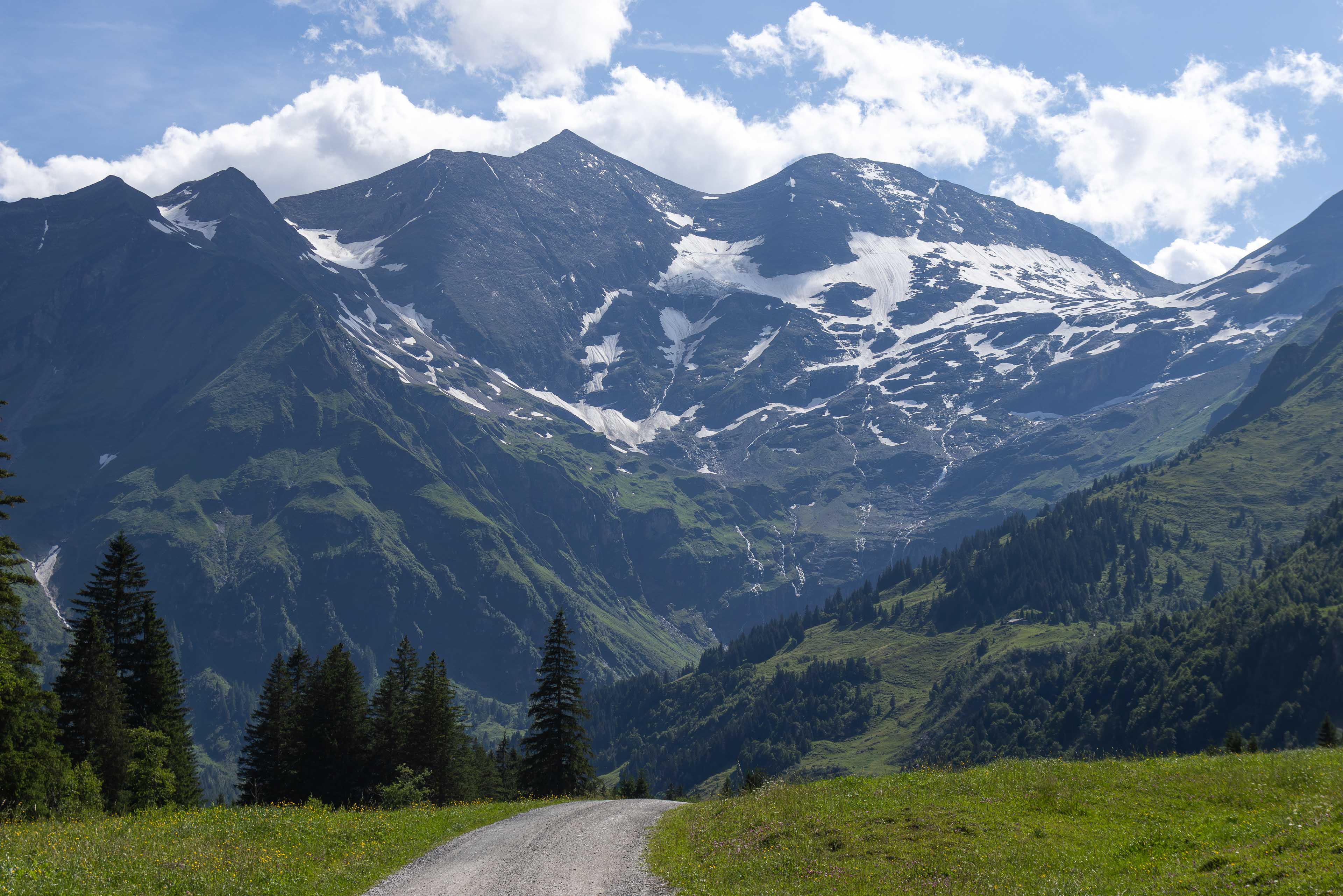
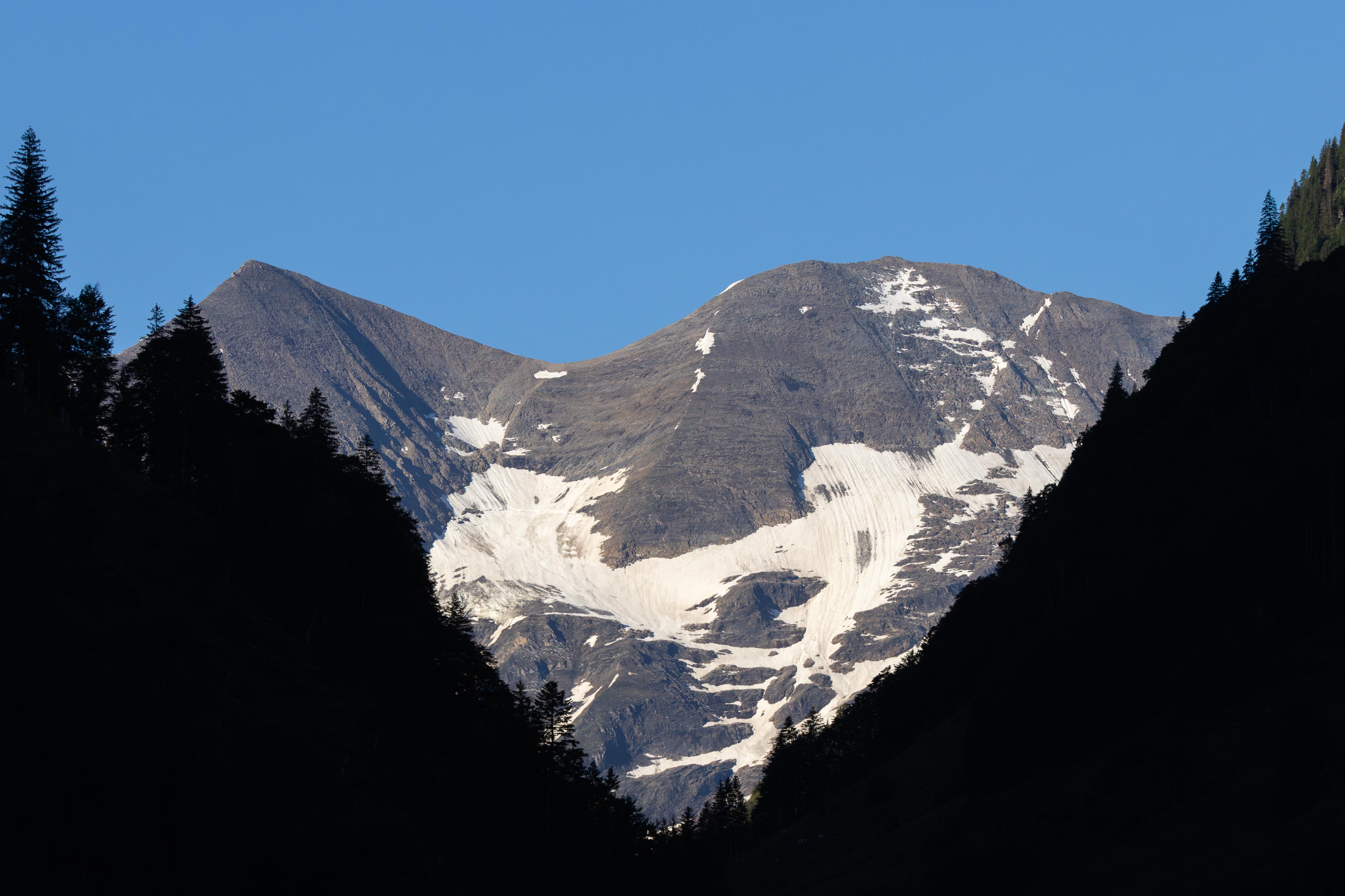
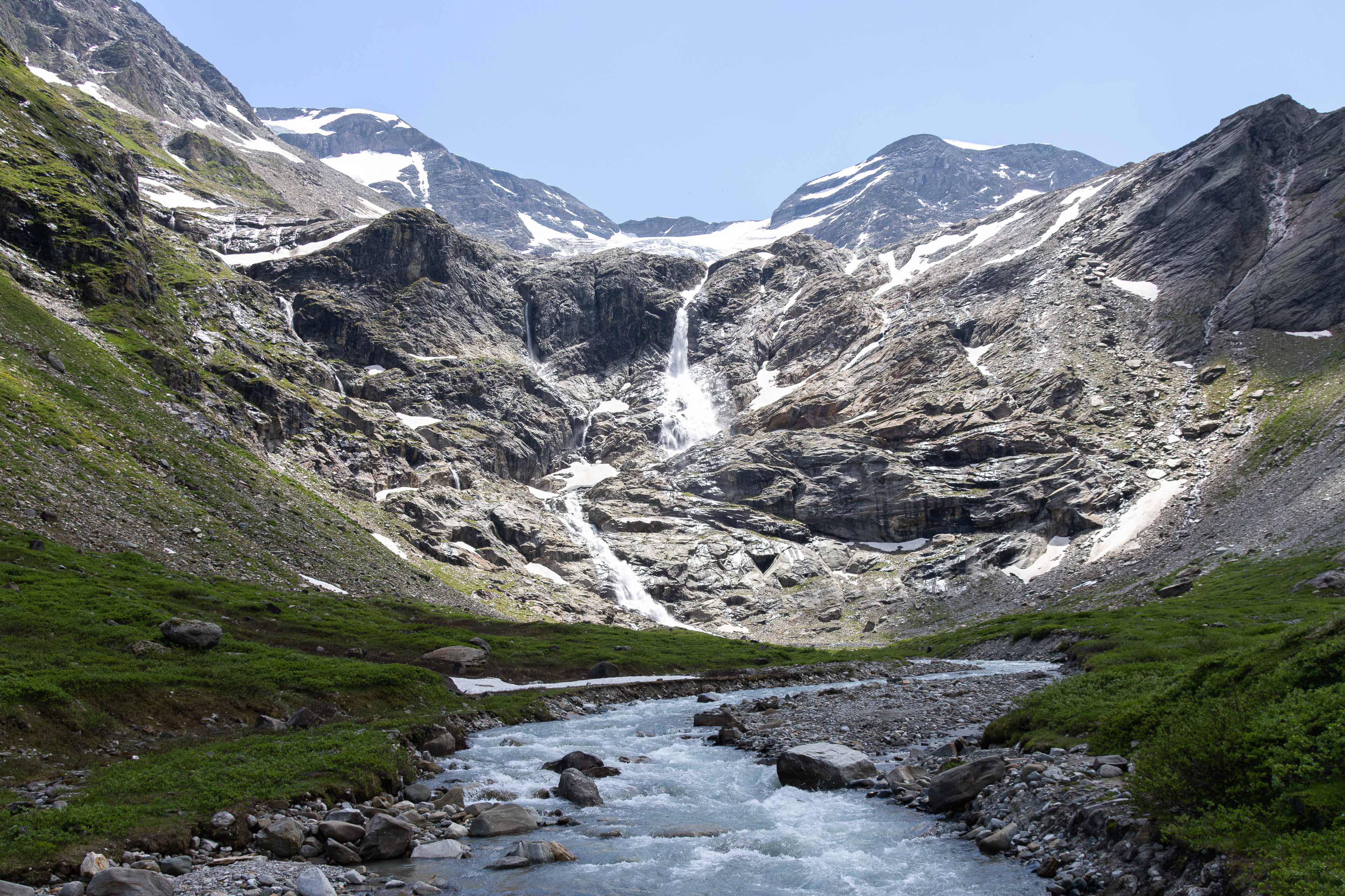
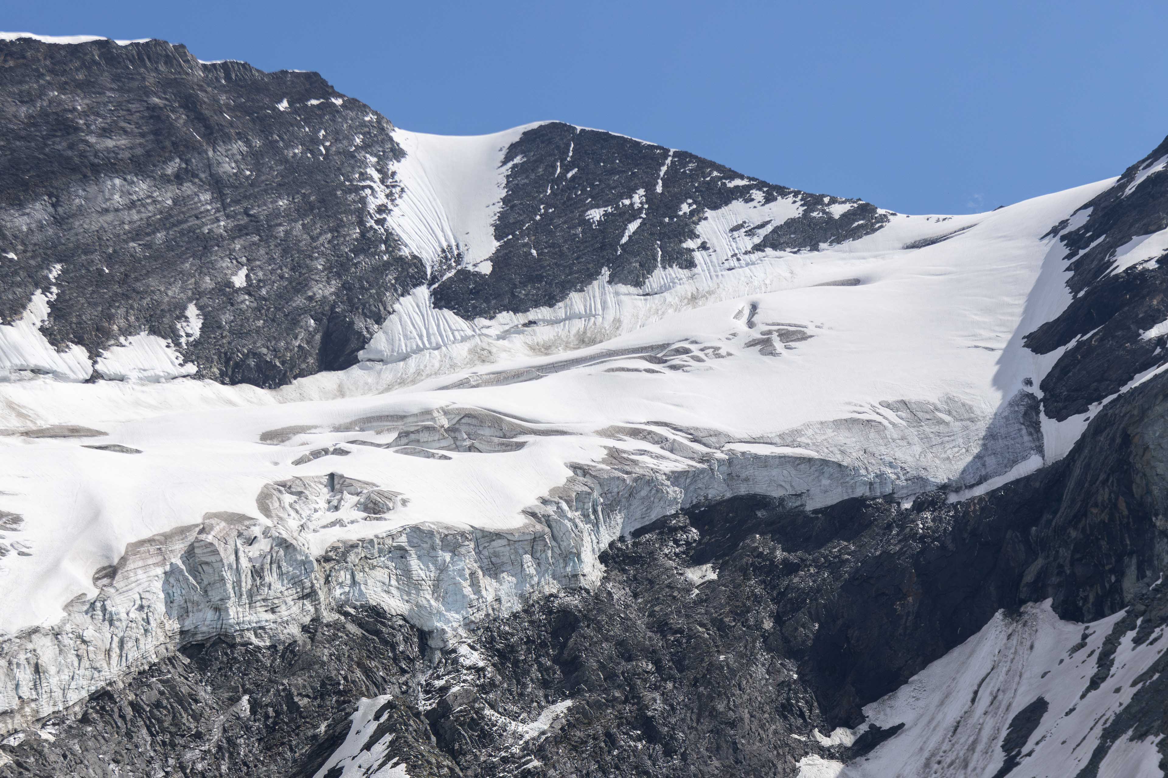
- Summary: A glorious 7-Day hike in the Austrian Alps circling around the country's highest mountain, Glossglockner standing at 3798m high. A real alpine adventure crossing wild snowy mountain passes, green alpine meadows and Marmot filled valleys. Good fitness levels required!


Fancy a 7 day Bavarian Austrian alps adventure?
You want it to be easy to access via public transport?
You want relative quiet in the mountains during your journey to just connect with nature and wildlife?
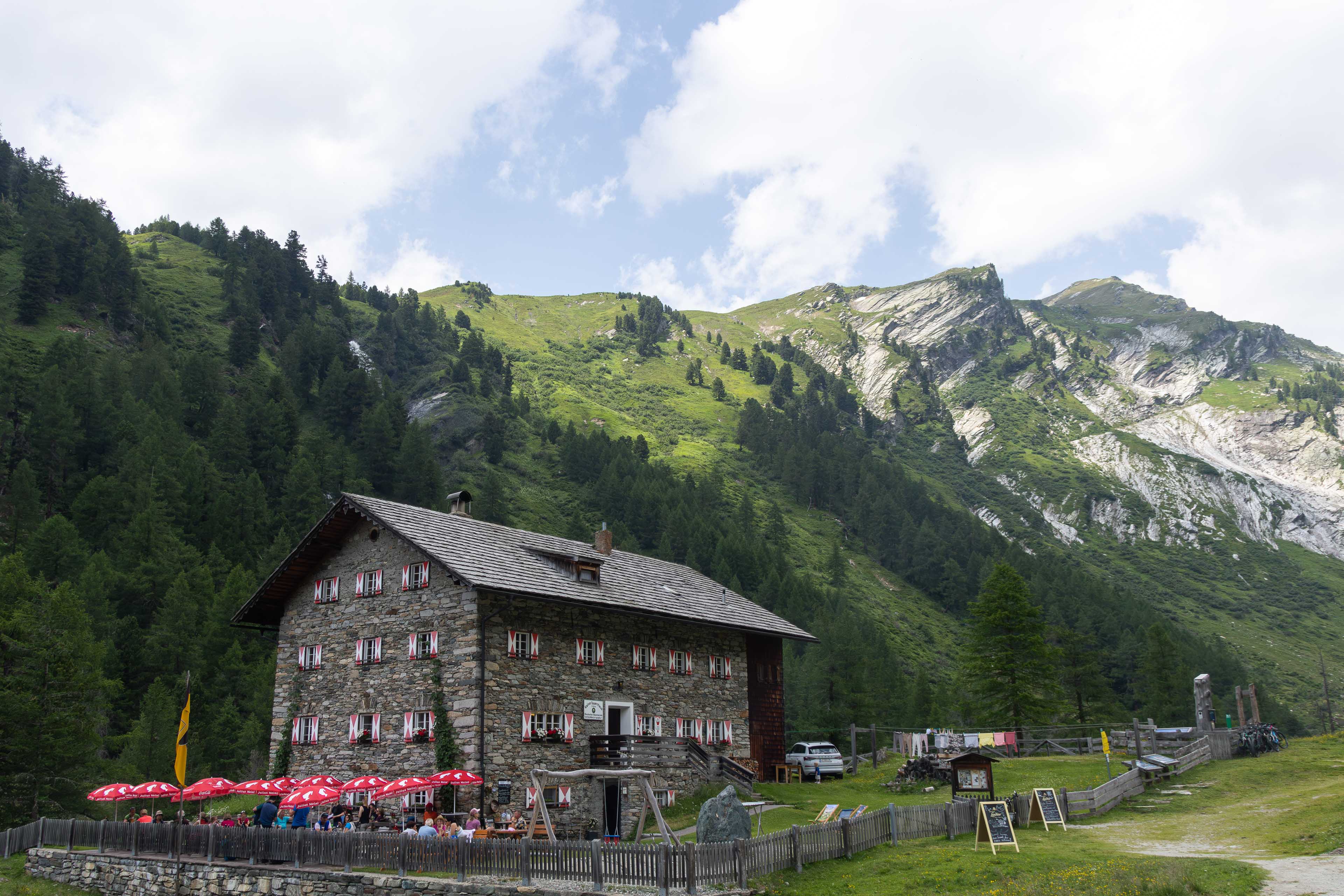
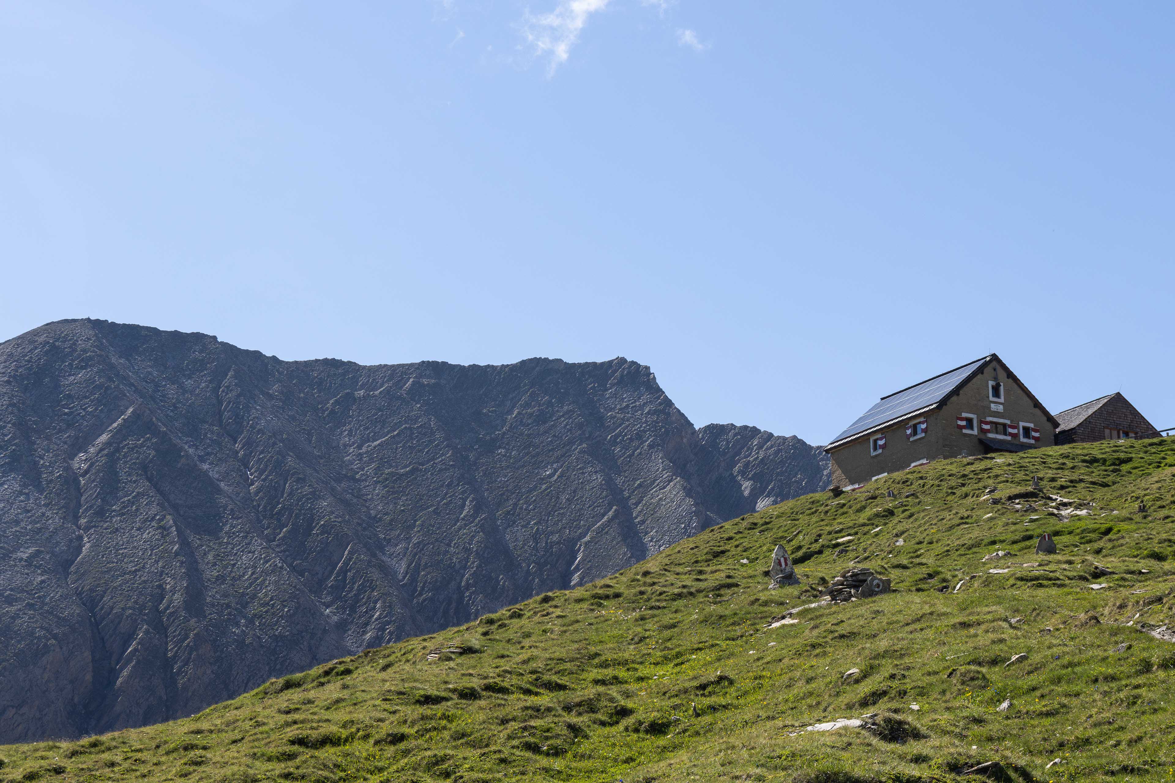
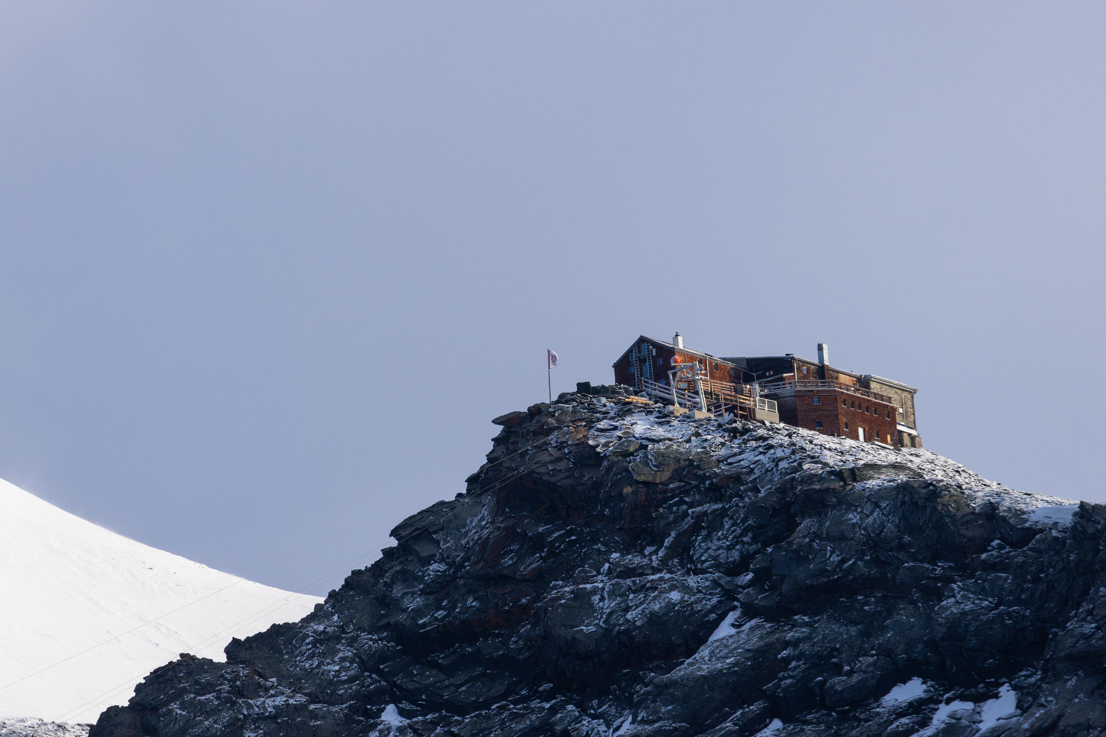
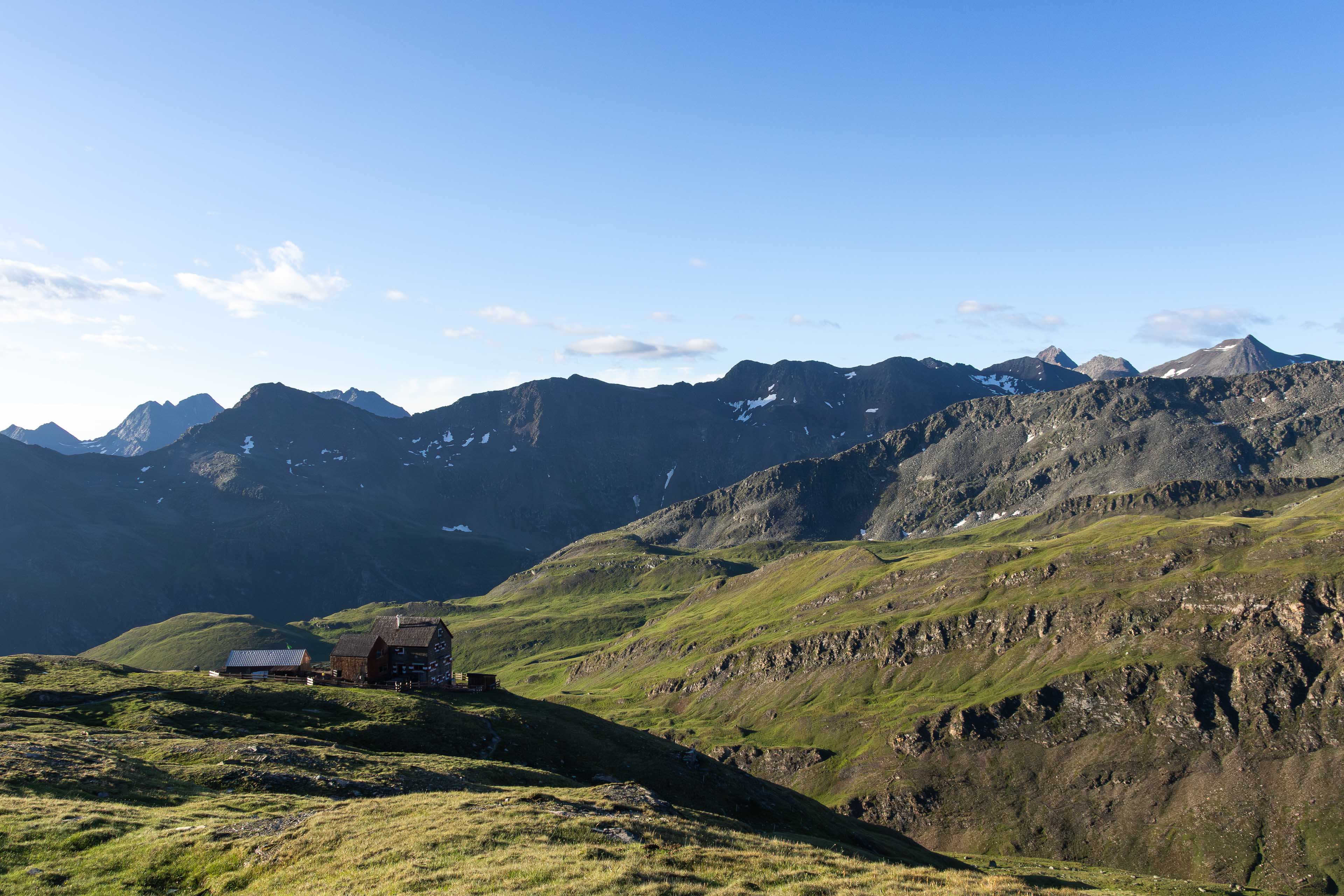
You still want some evening comforts at mountain huts/lodges and small villages where you get breakfasts and evening meals?
You want amazing sights and landscapes and to conquer snowy mountain passes?
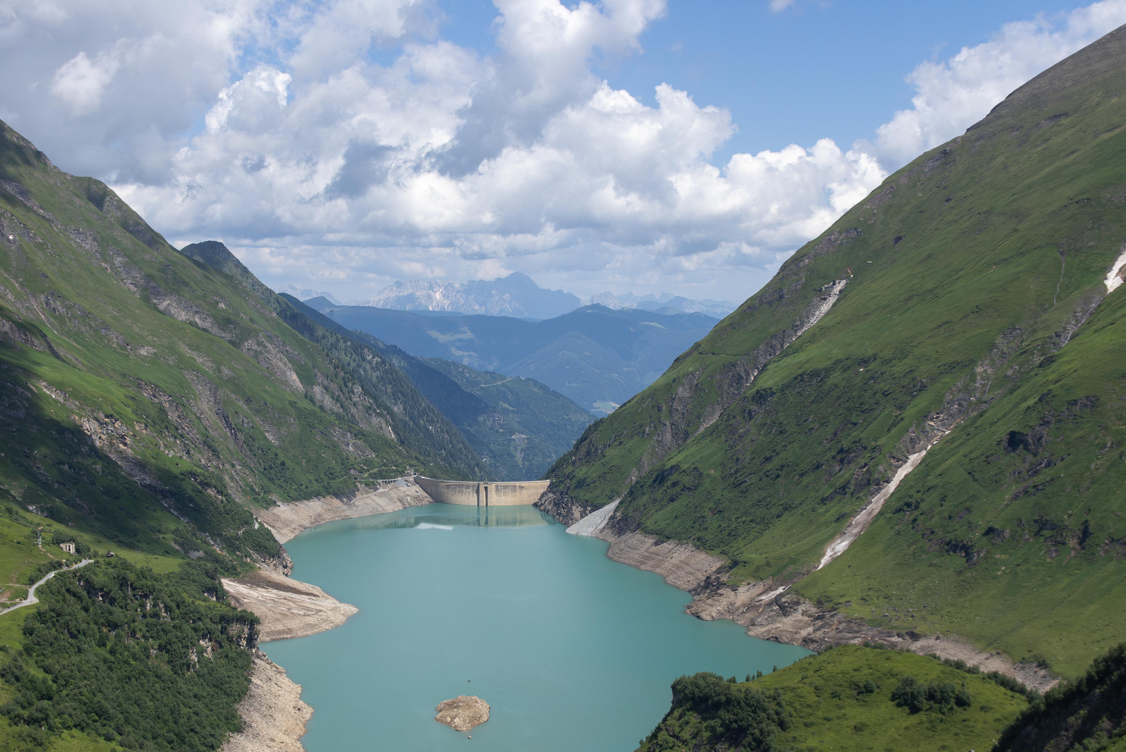
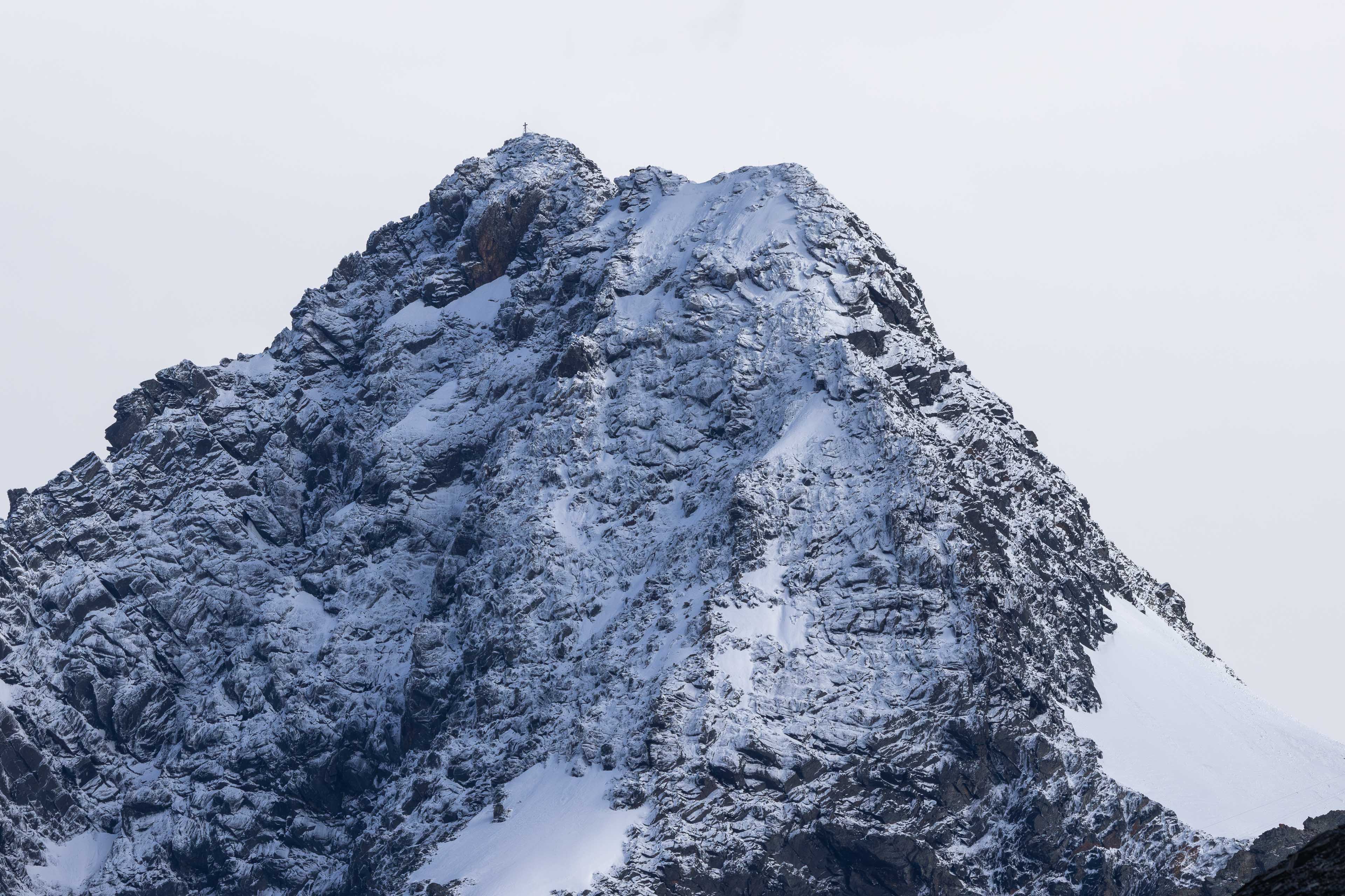
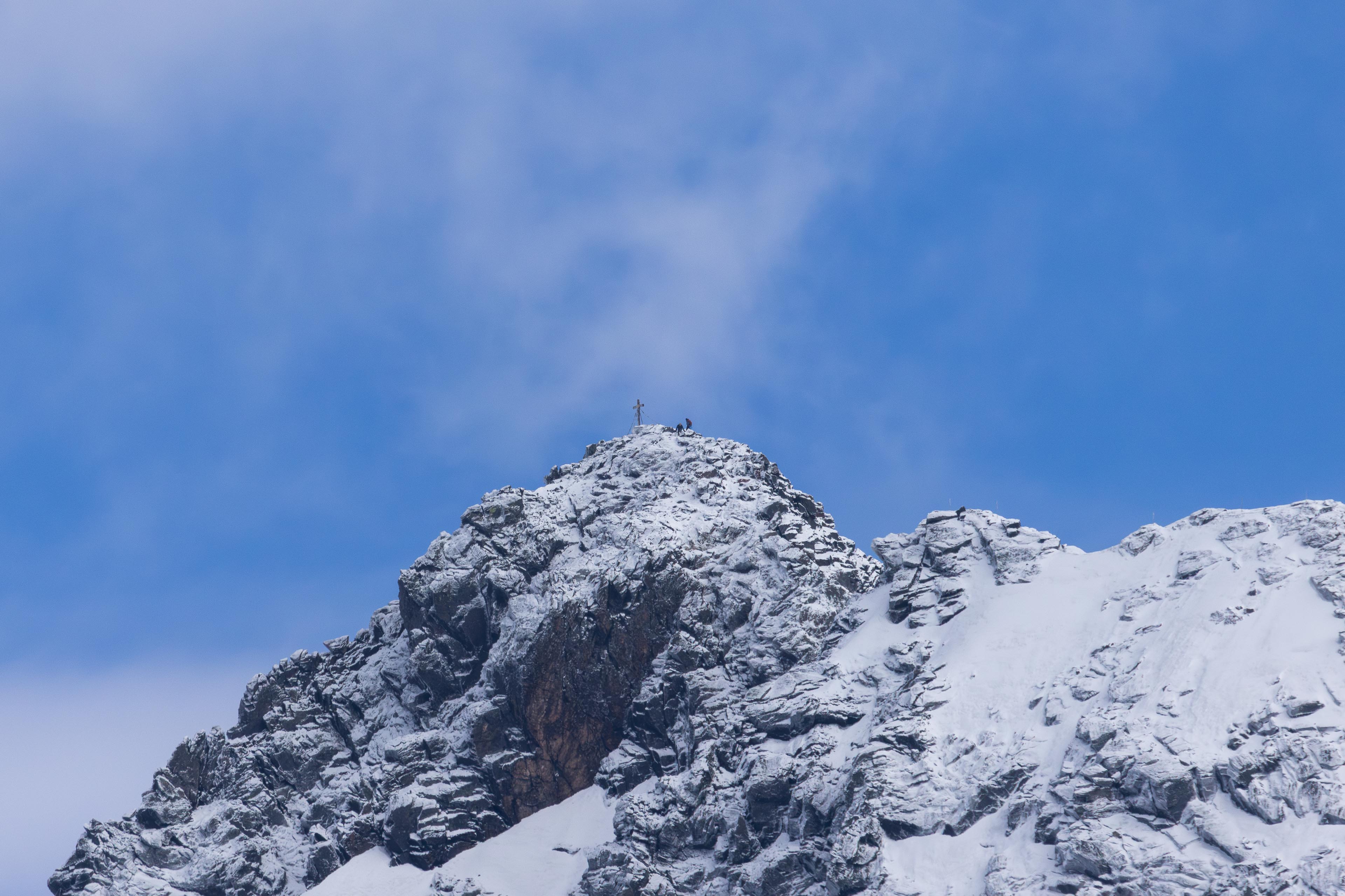
Well if the answer is YES you cant go far wrong with this relatively unknown (well in the UK anyway) week long adventure in the Hohn Tauern National Park which circles Austrias highest mountain Großglockner (grossglockner) standing at 3798m high.
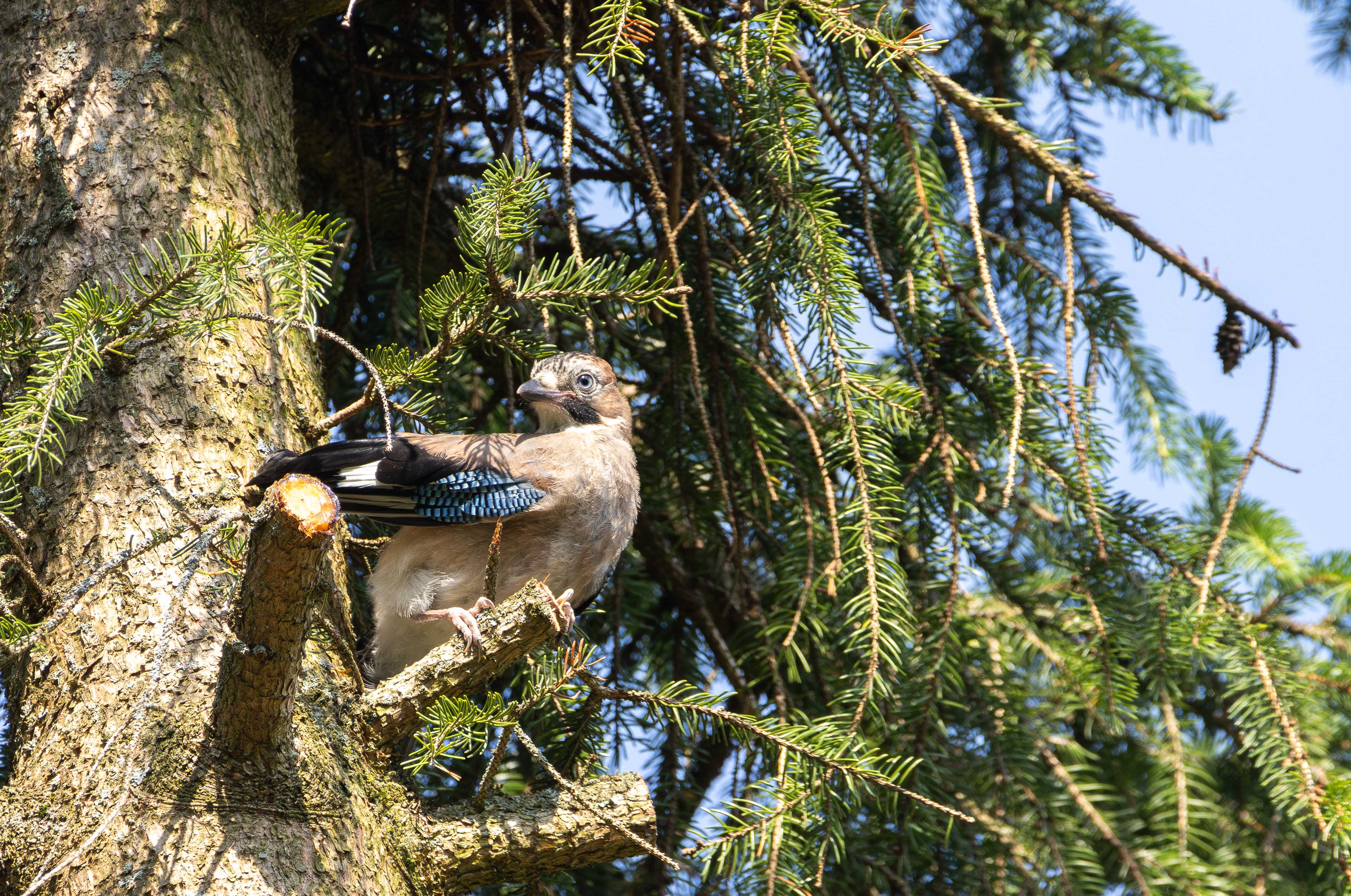
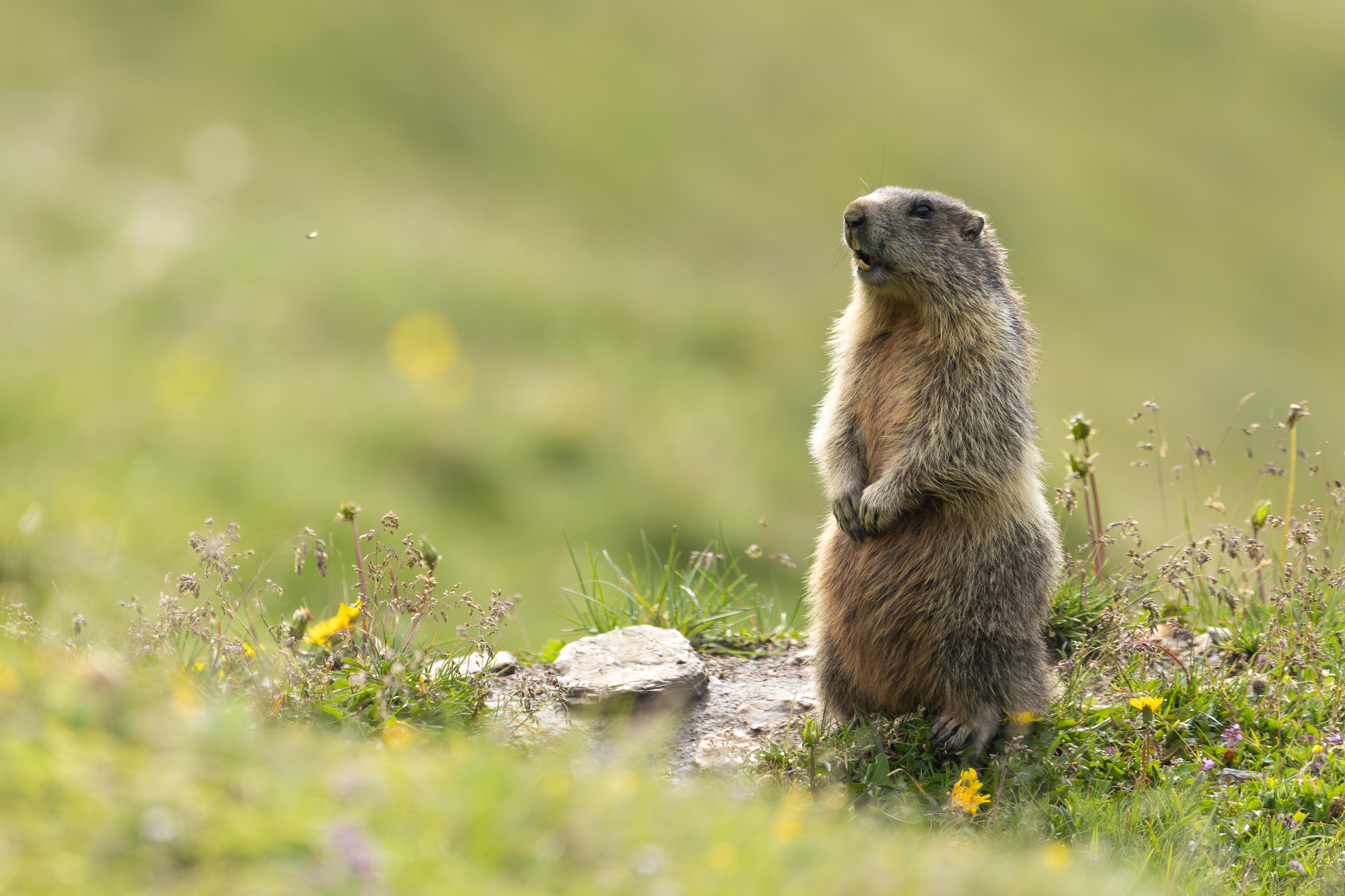
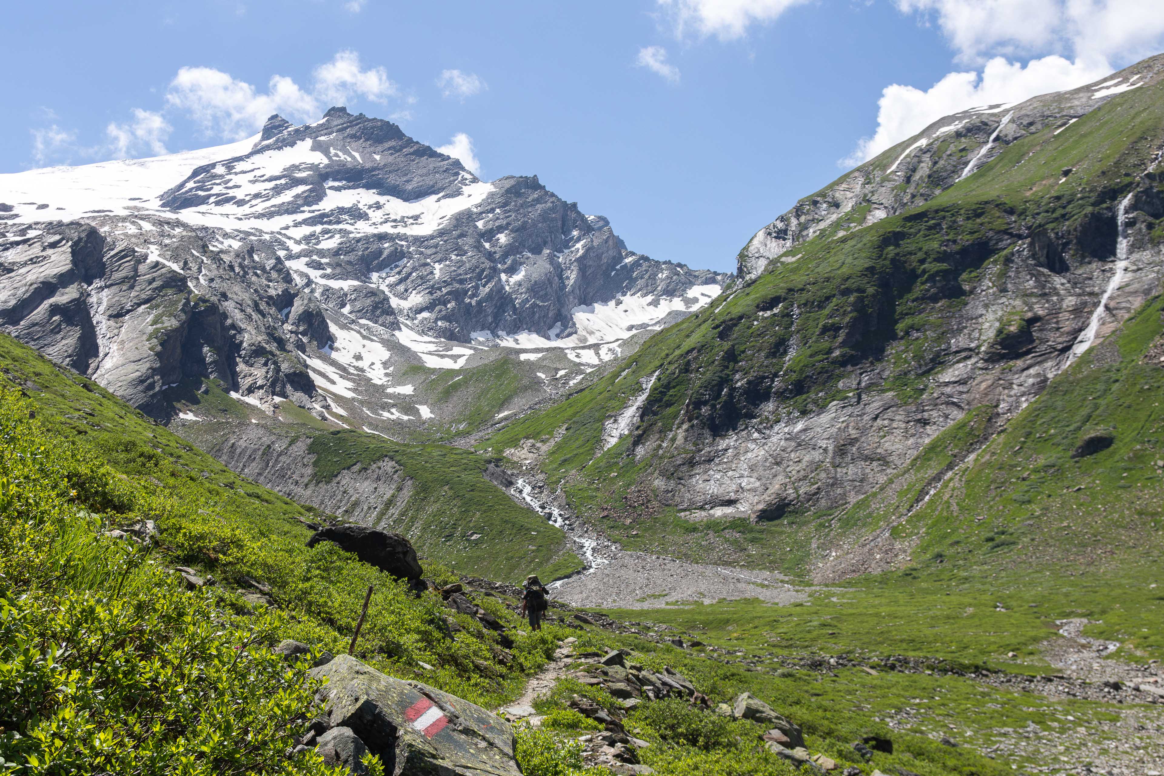
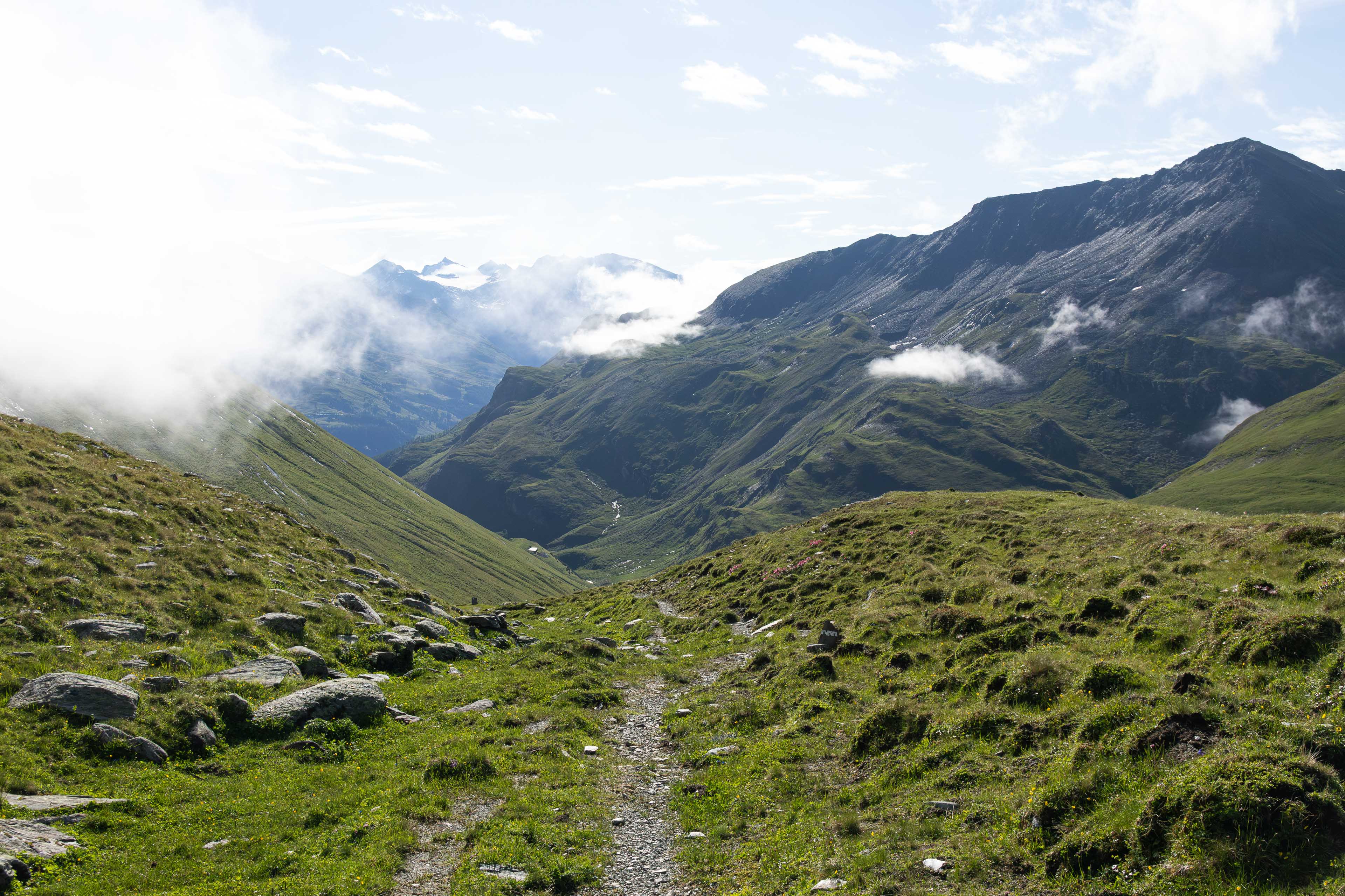
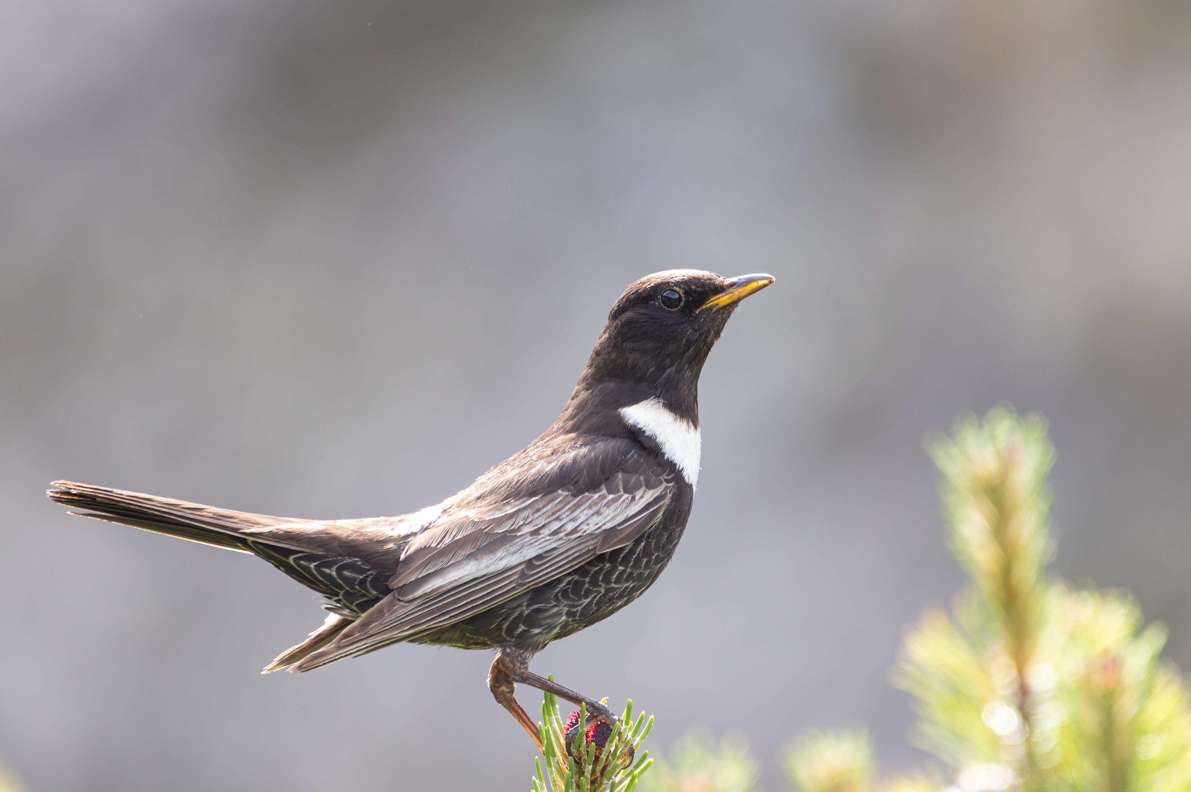
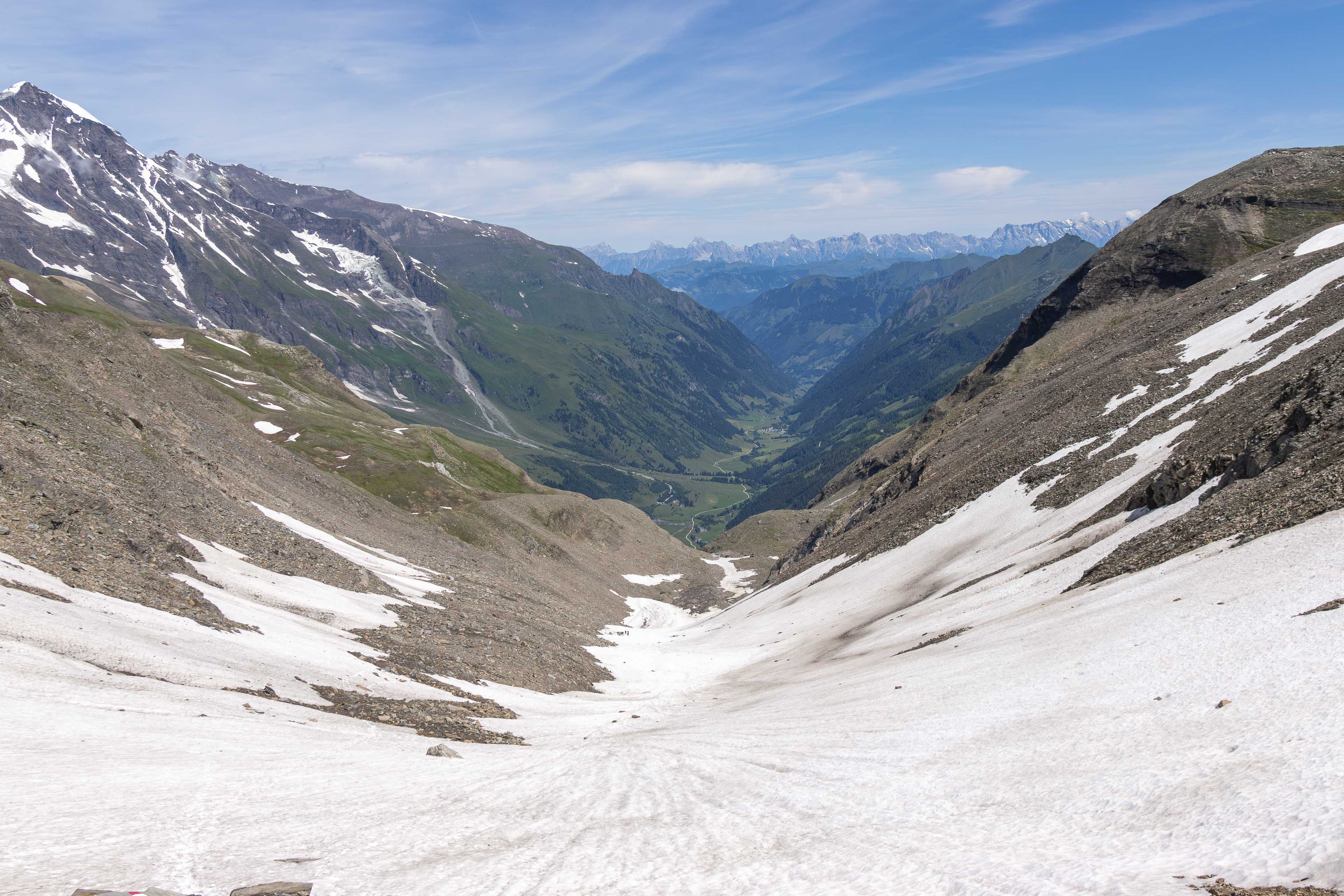
Its a fantastic adventure around 100 kilometres in total. You will walk through valleys, over mountain passes, through idyllic mountain villages and be welcomed and shouted at from your new neighbours, the marmots!
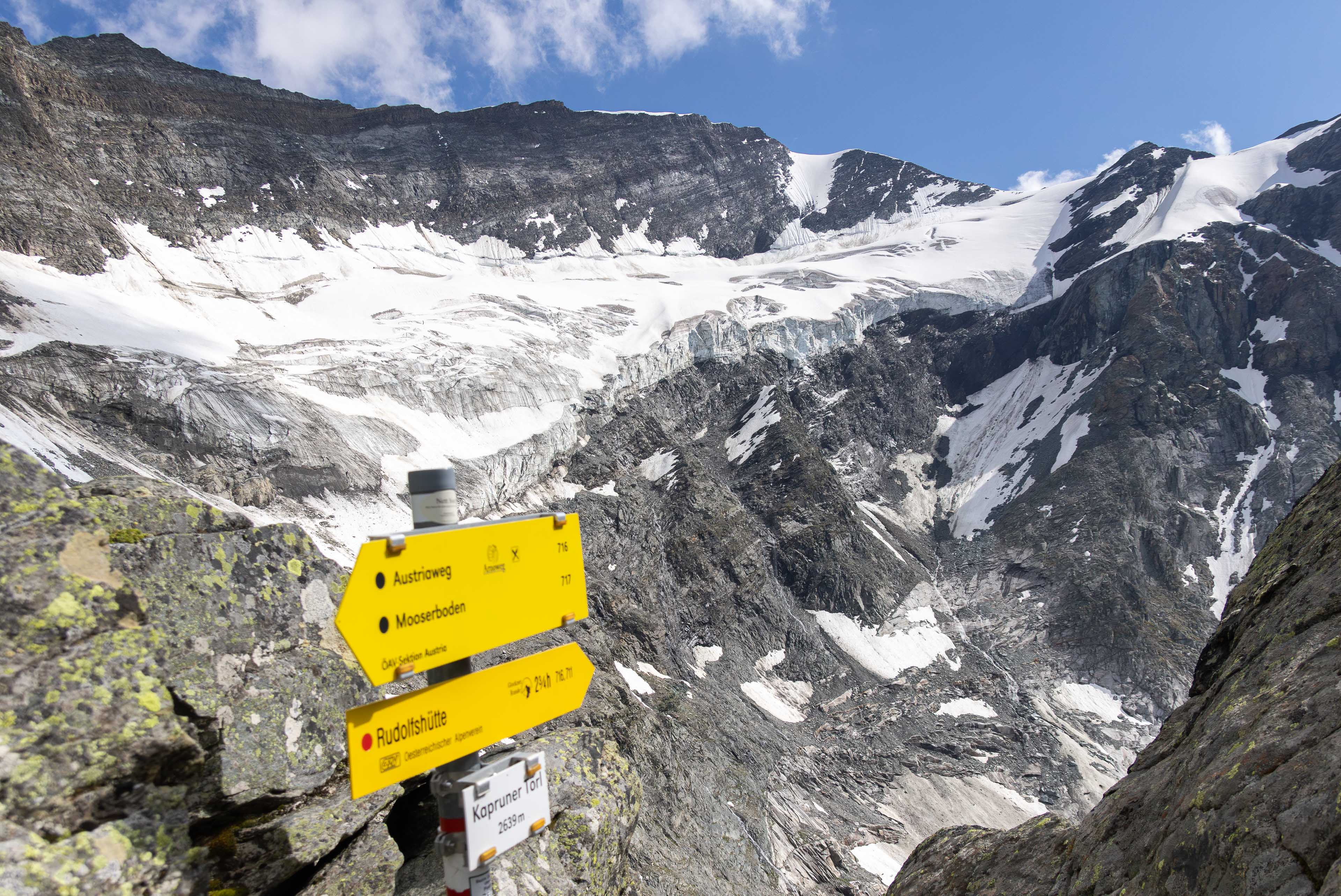
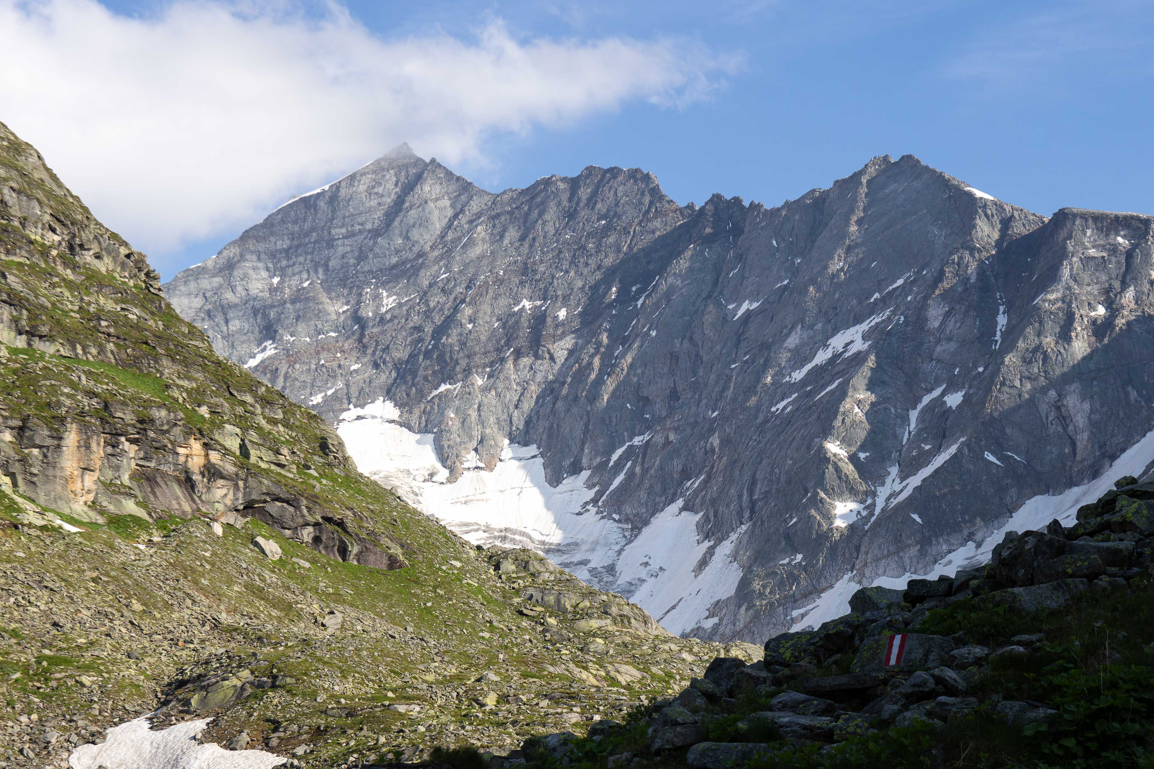
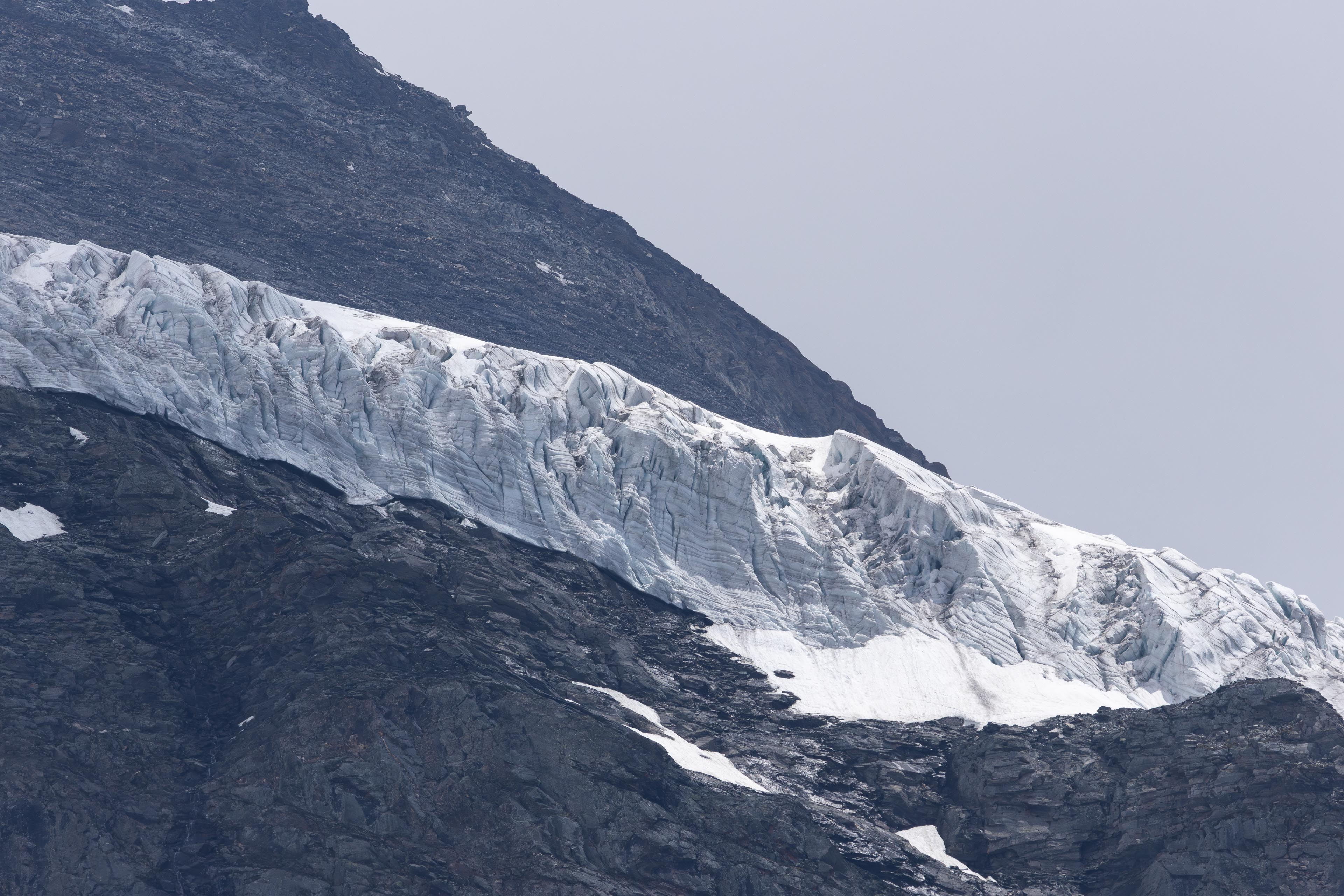
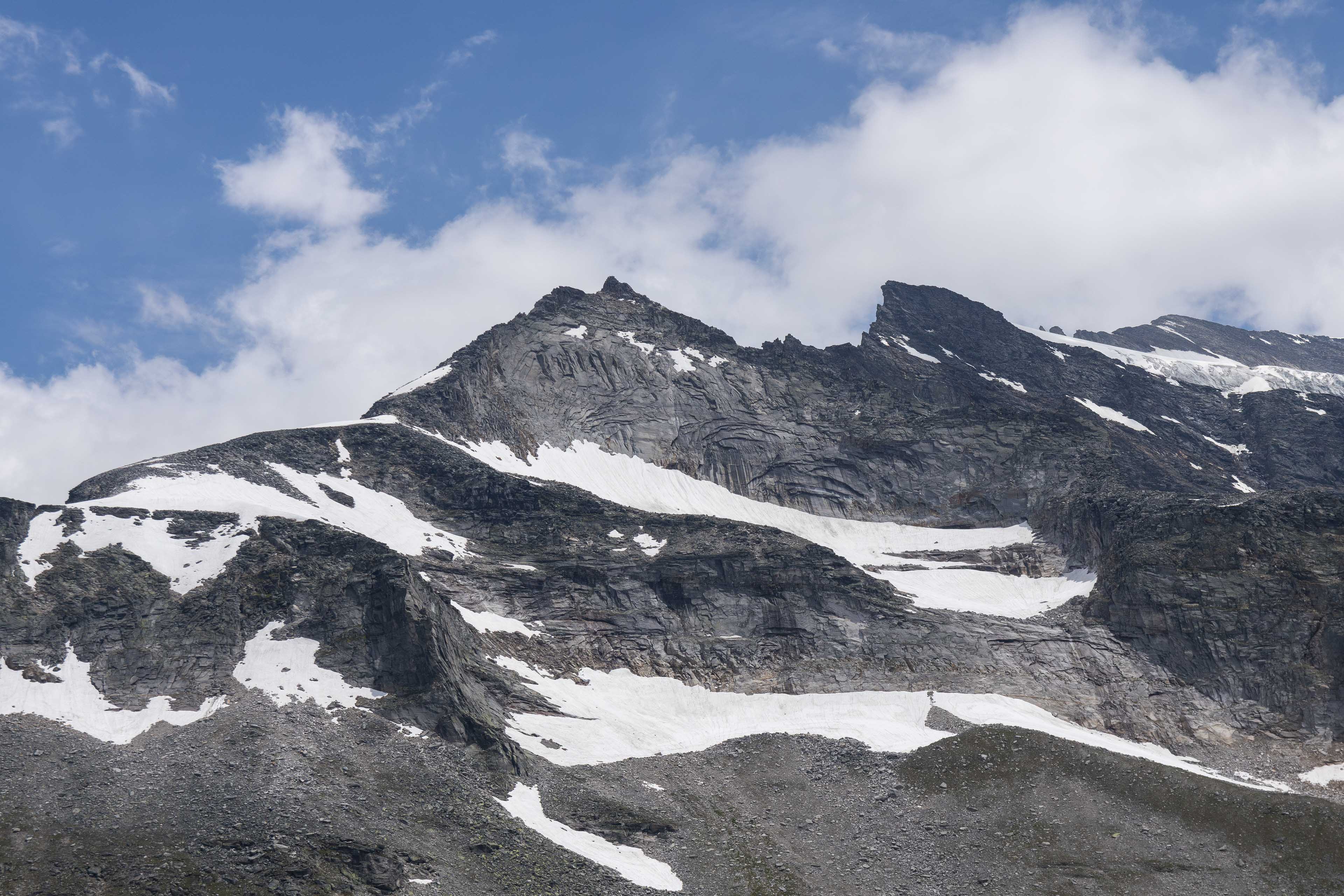
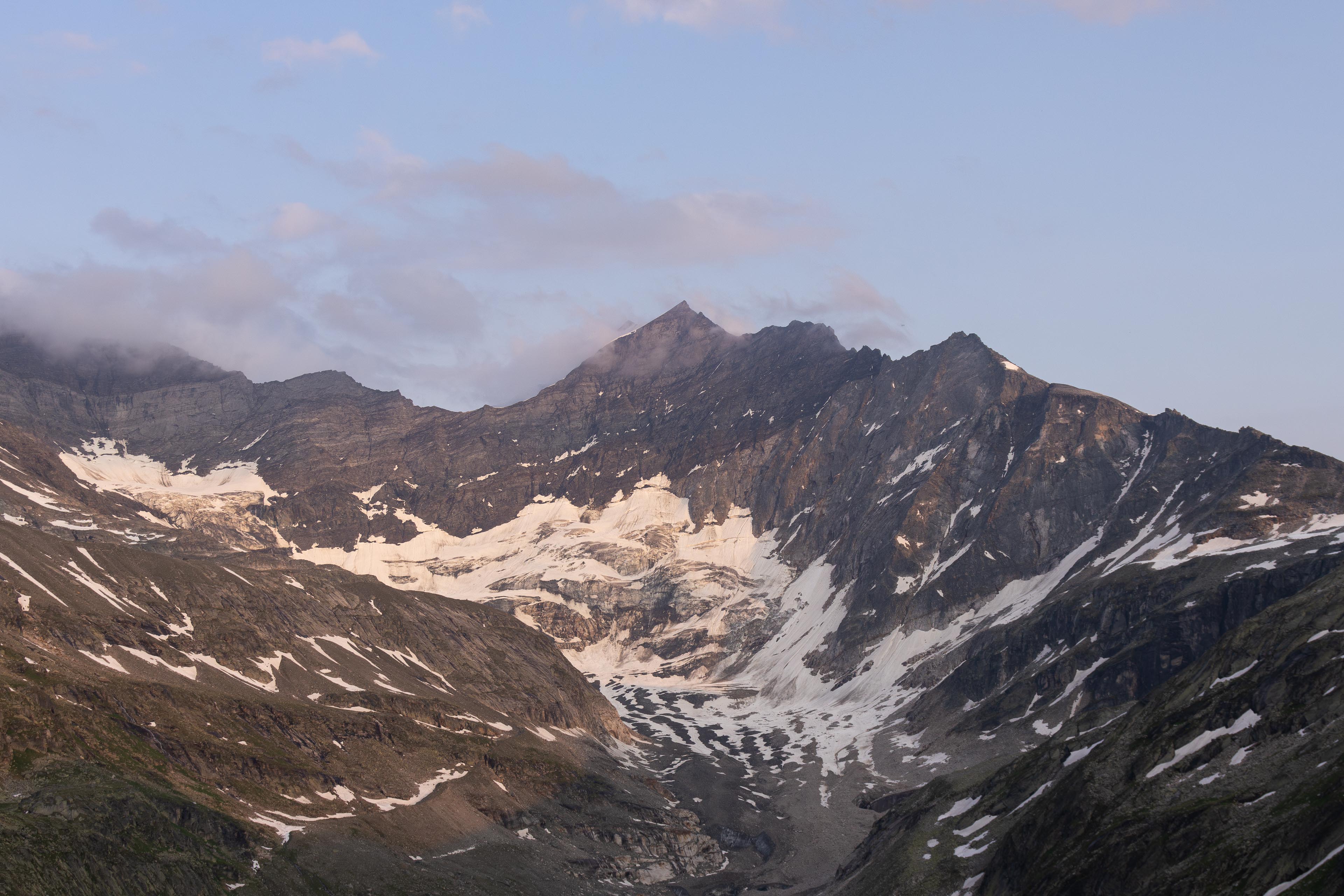
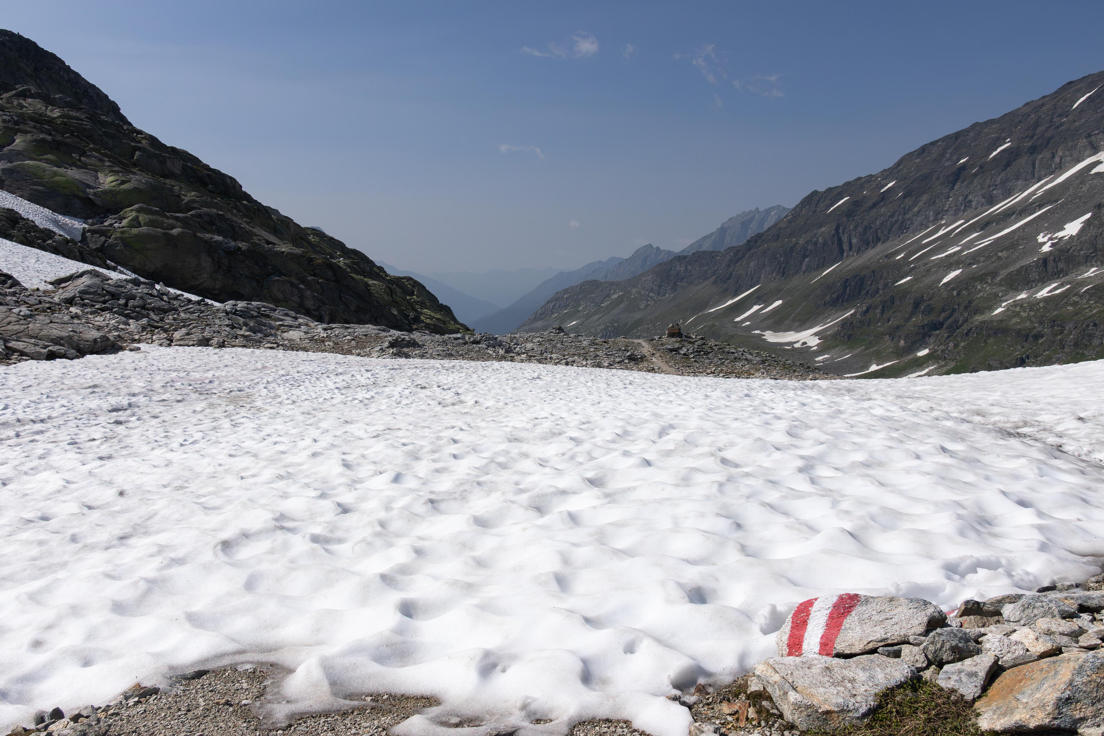
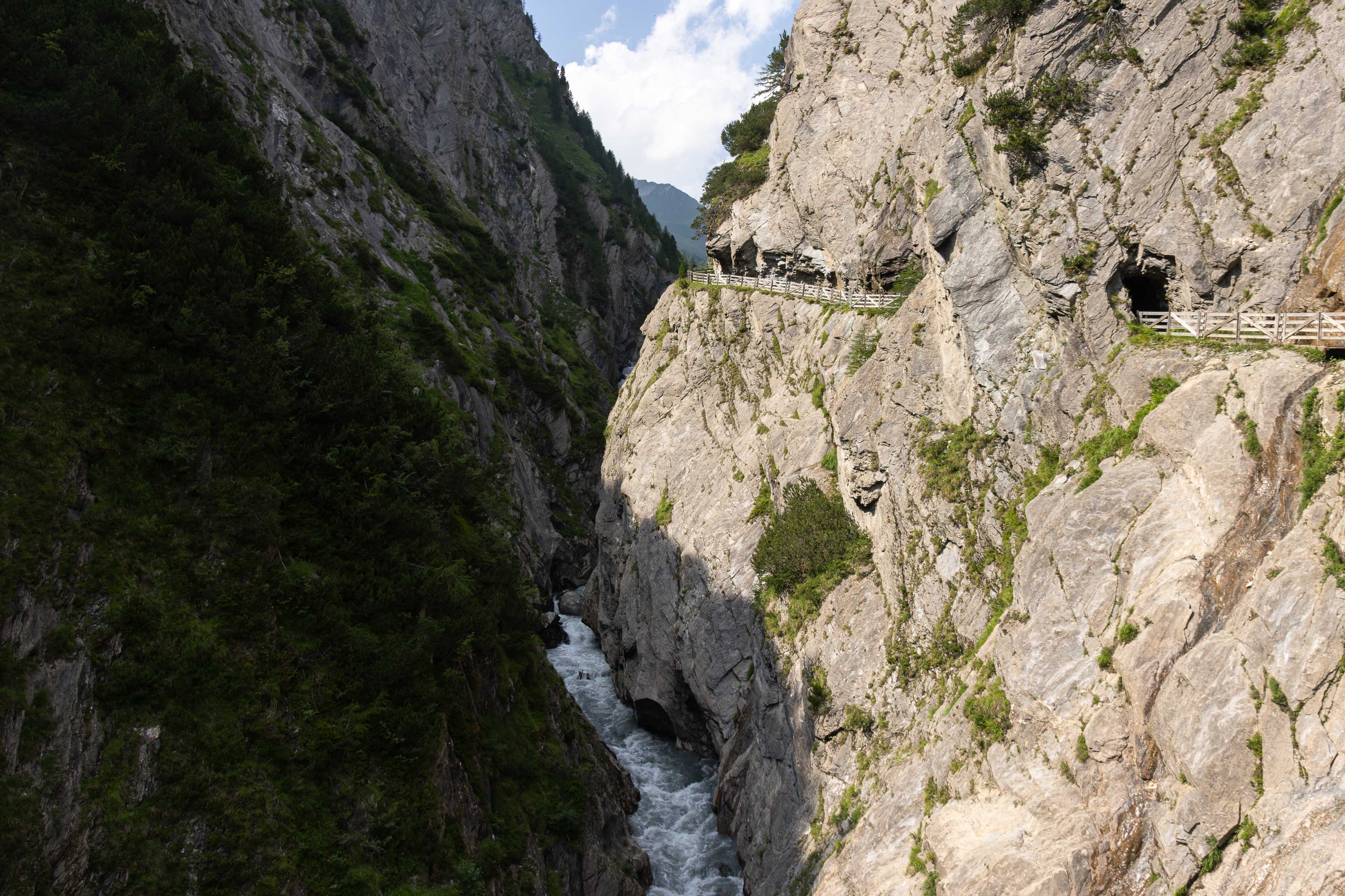
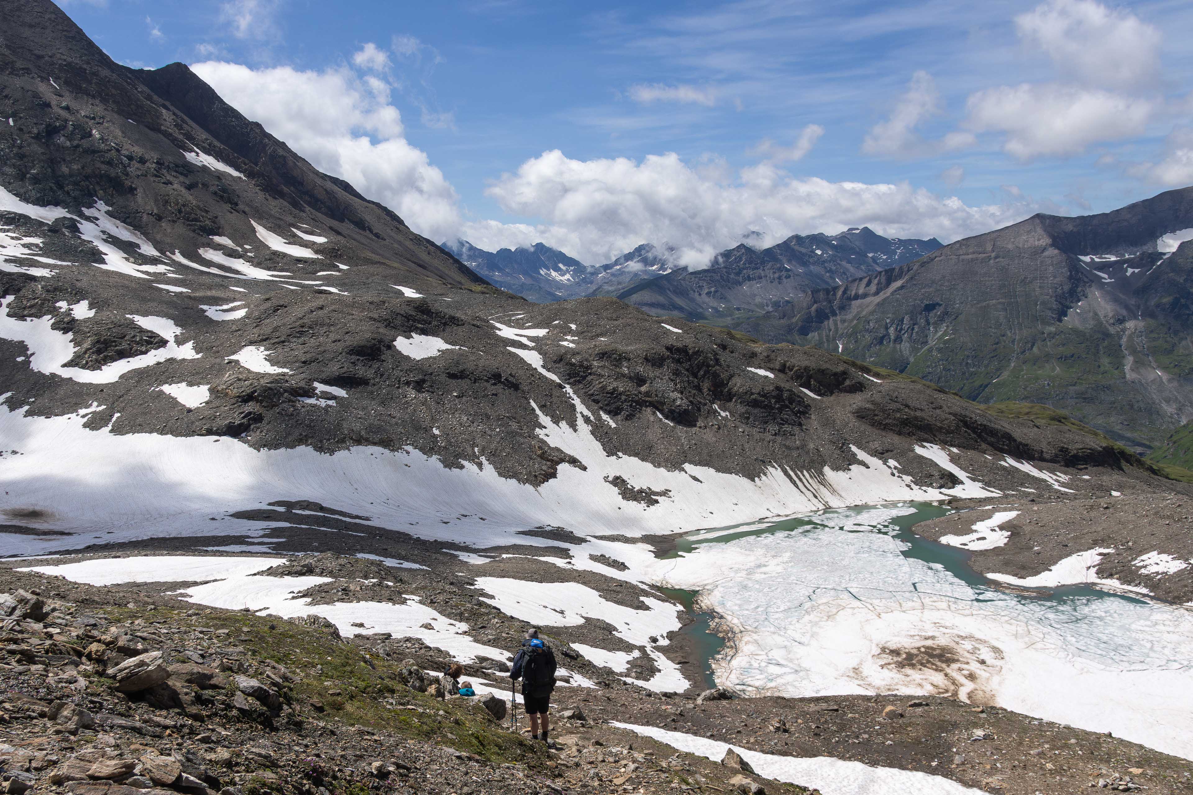
A word of note this is a challenging alpine hike and does require a high level of fitness, surefootedness and to be comfortable at heights. I personally walked in early July and there was a lot of snow on the high passes still so it is suggested you pack some snow spikes and walking poles if you are walking early in the summer season. There are some potentially dangerous crossing sections without!
2 excellent guides to the route are below:
1) Official Glockner Trail Guide -
2) Komoot guide written by Tamara (wandert)
www.komoot.com/collection/918735/circumnavigate-austria-s-highest-mountain-the-grossglockner
Both of these rescources give you more than enough information on the trail and planning and advice as well as transport links etc.
Of course if you are wanting to walk the trail and wish to fire me some questions then please feel free to contact me.
GPX file of the route is also available.
Hope you enjoy the photos!