Fairfield Horseshoe
Lake District National Park, England
The trail:
- Location: Lake District National Park, England
- Categories: Spring / Summer / Autumn / Tundra / Highland / Mountain / Foothill / Plain / Rural / Lake
- Duration: 5-8 Hours
- Distance: 11 Miles
Walking the trail:
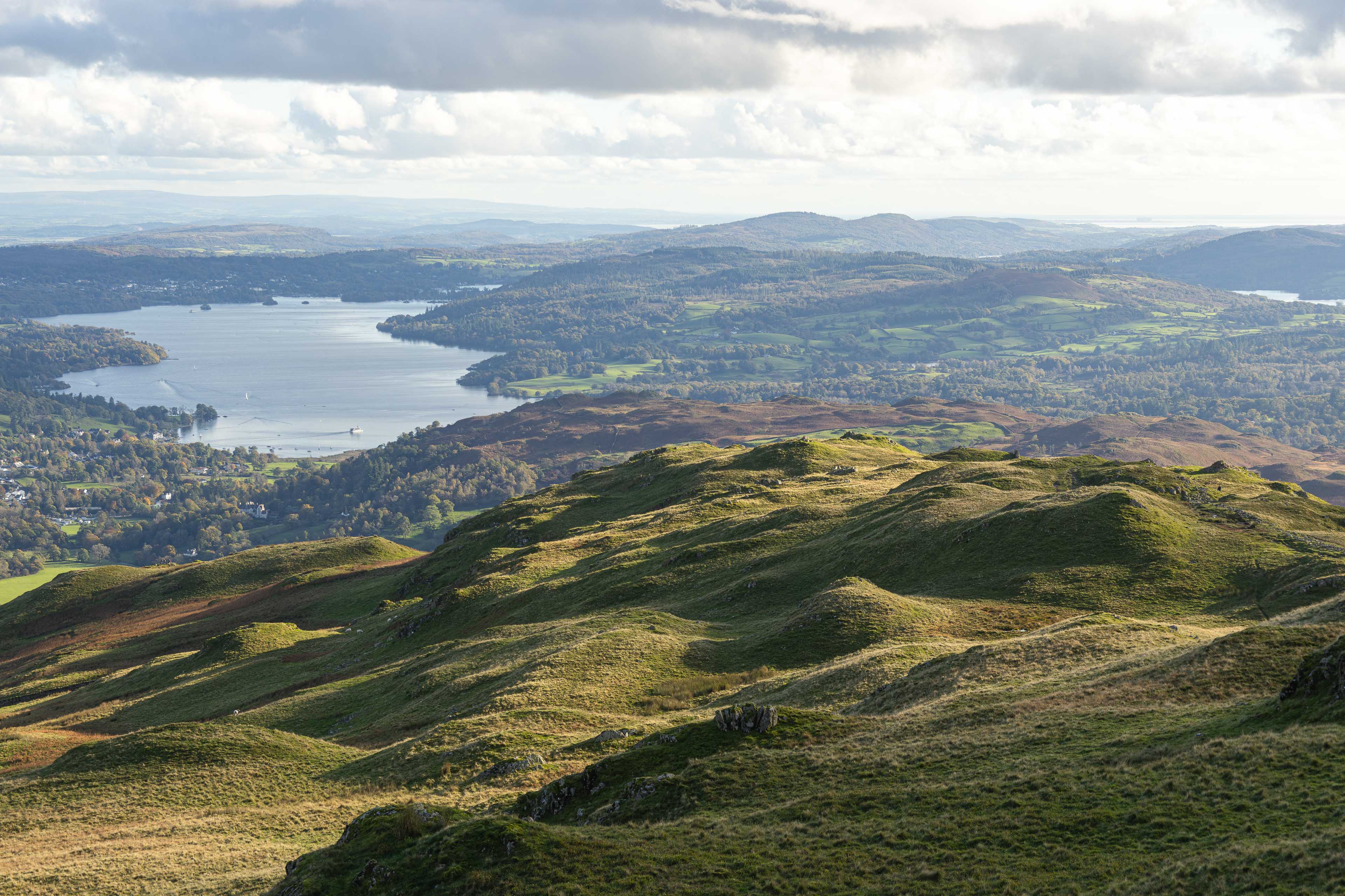
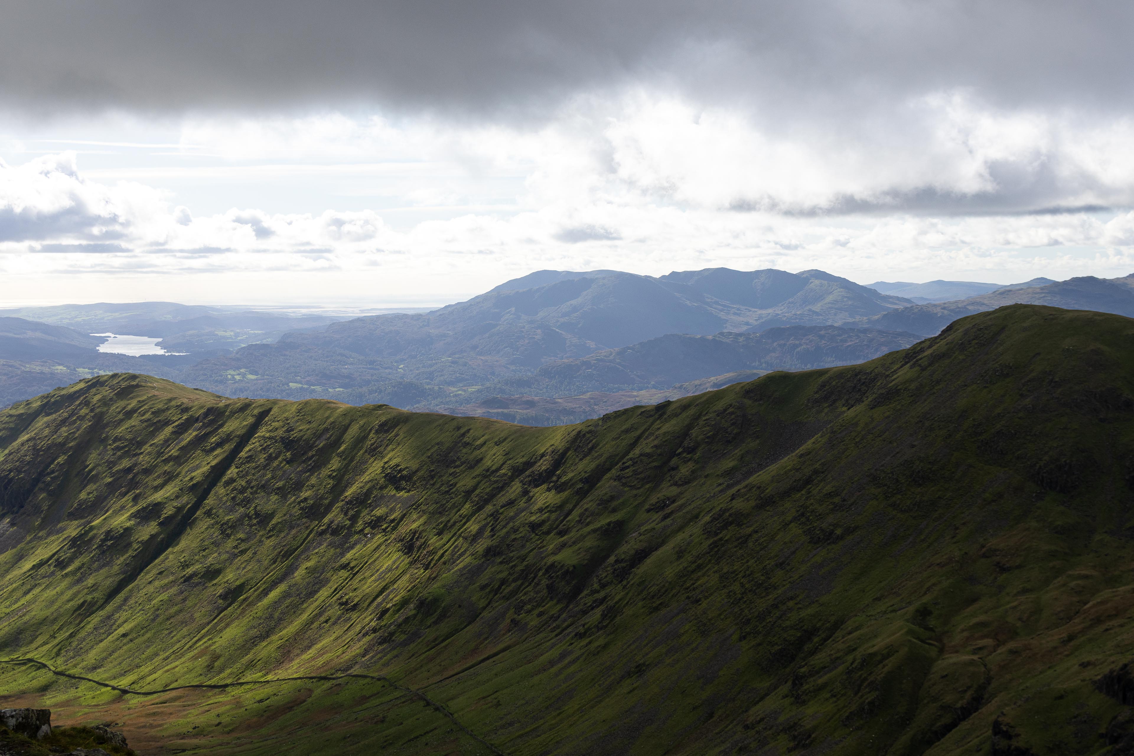
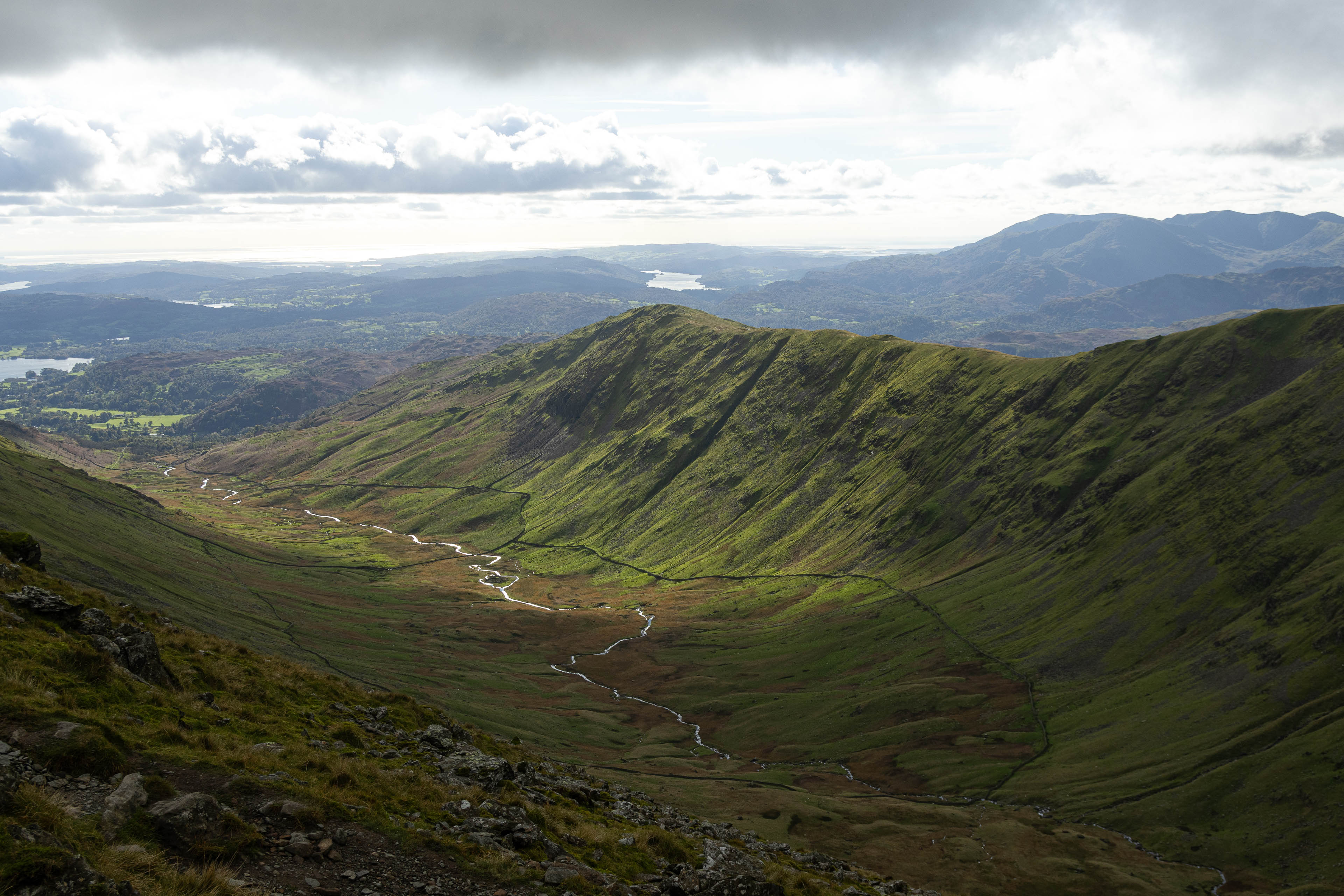
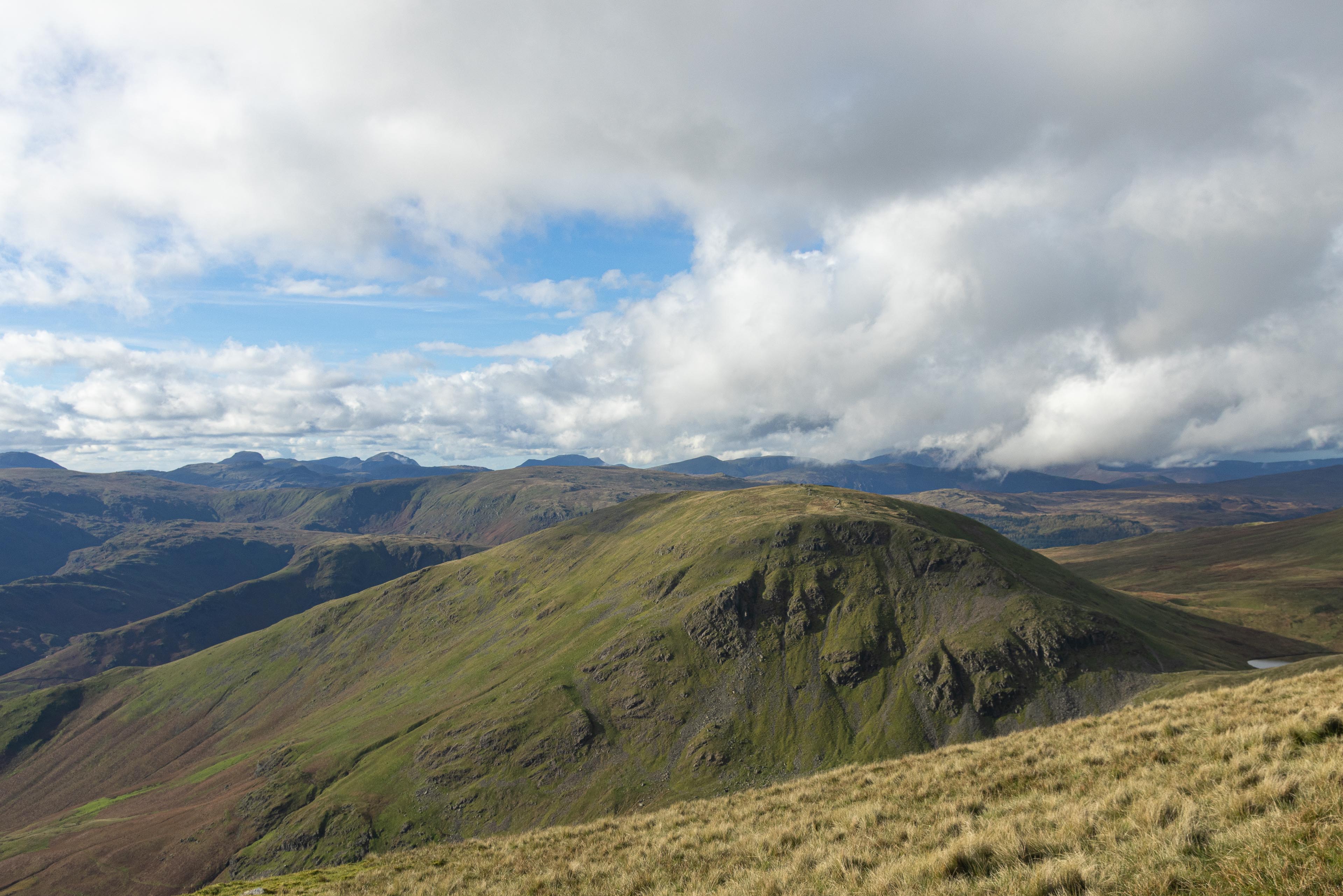
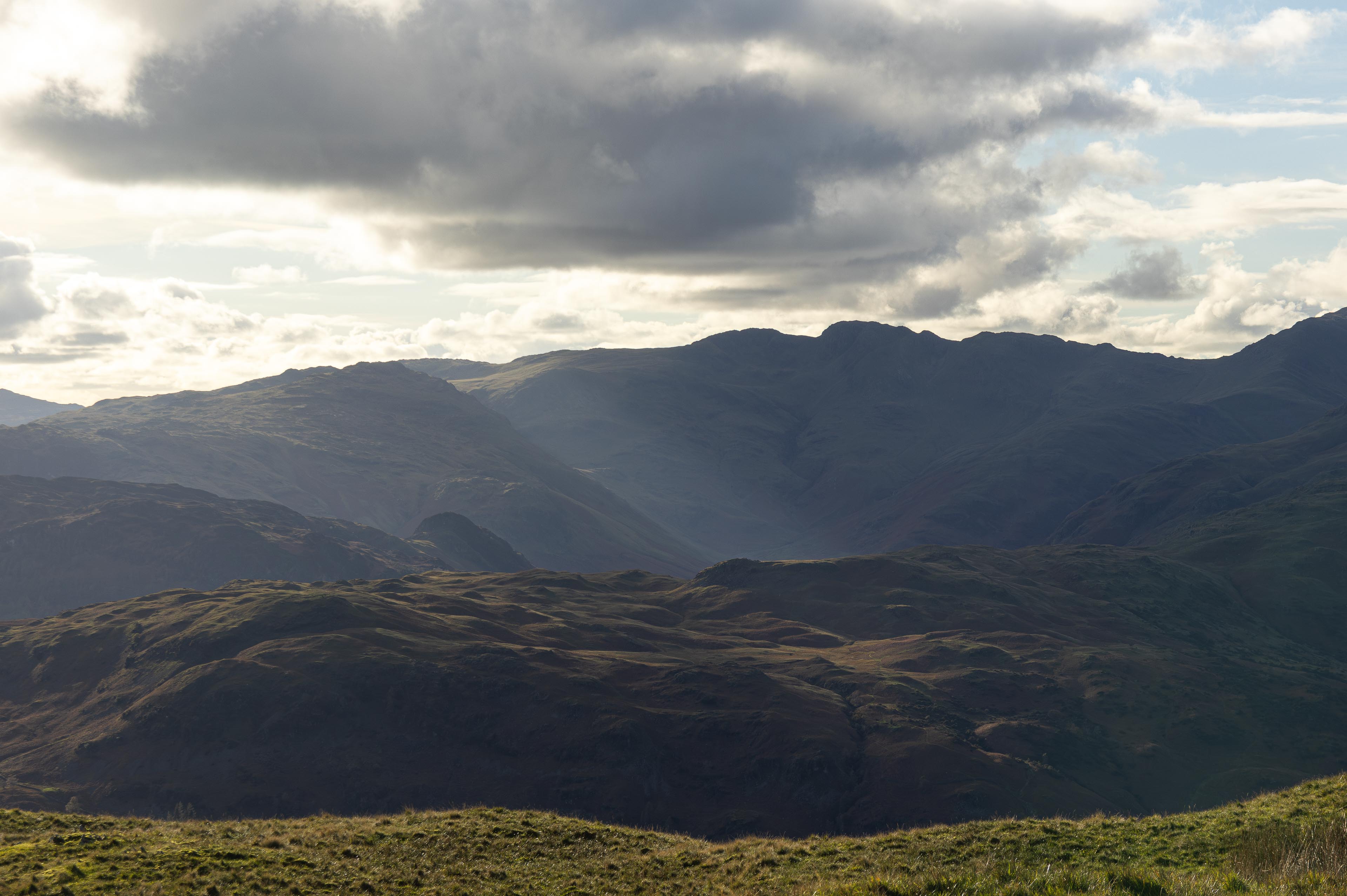
- Summary: Enjoy a classic circular hillwalking ridge walk starting from Ambleside. Its an all day adventure taking in multiple fells and allows excellent views across the Lake District. A superb and easily accessible day out escape into the mountains!
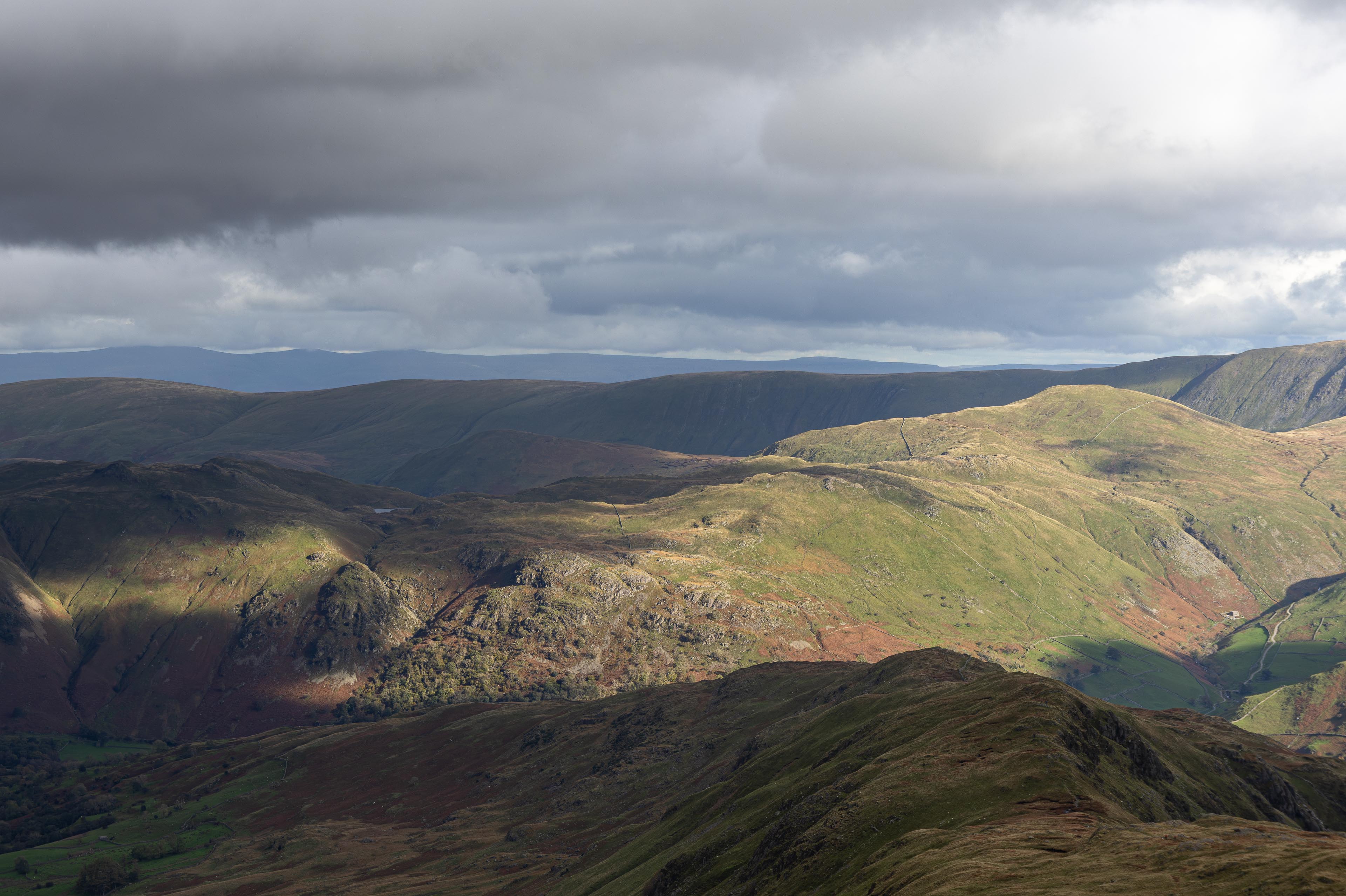
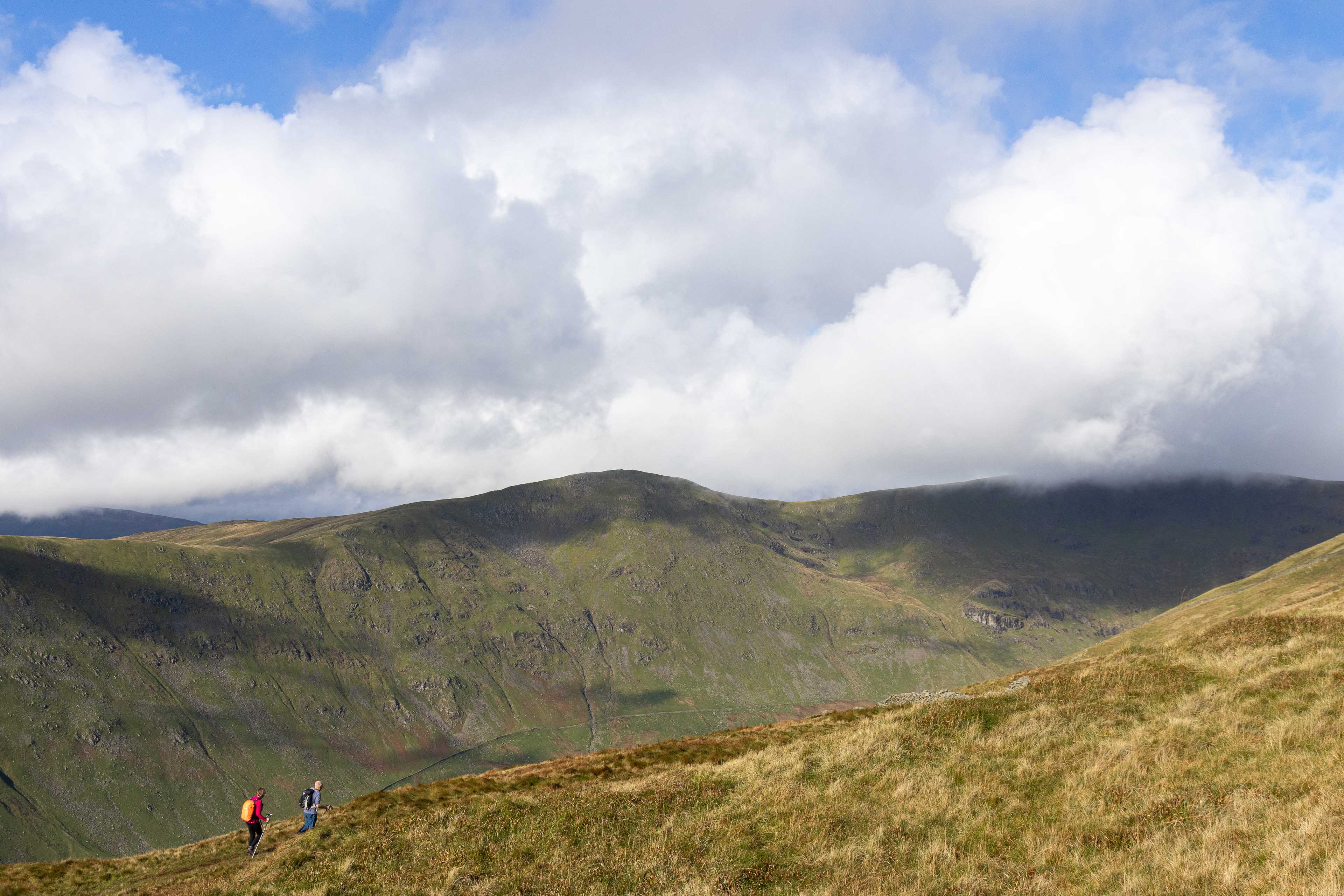
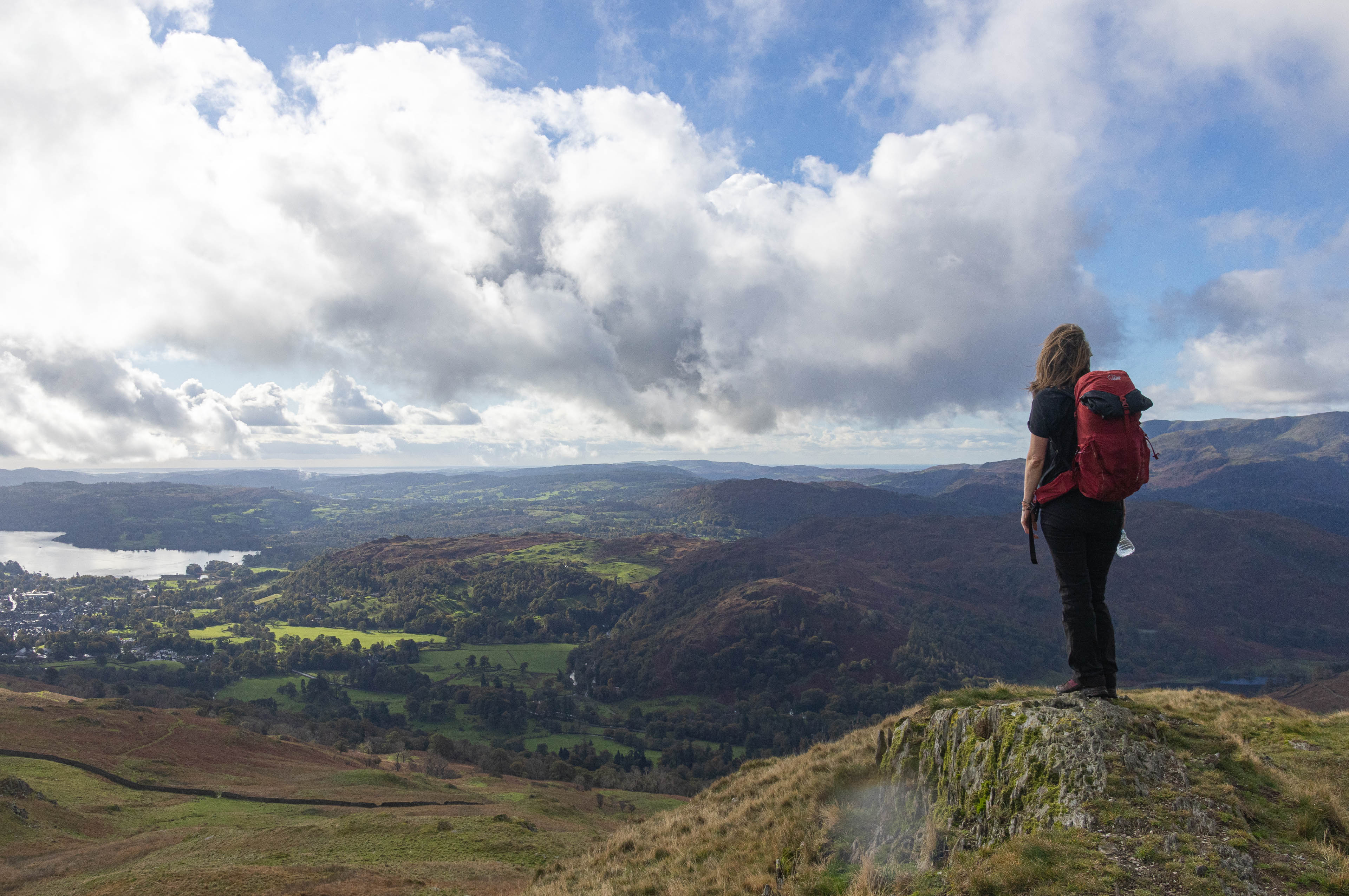
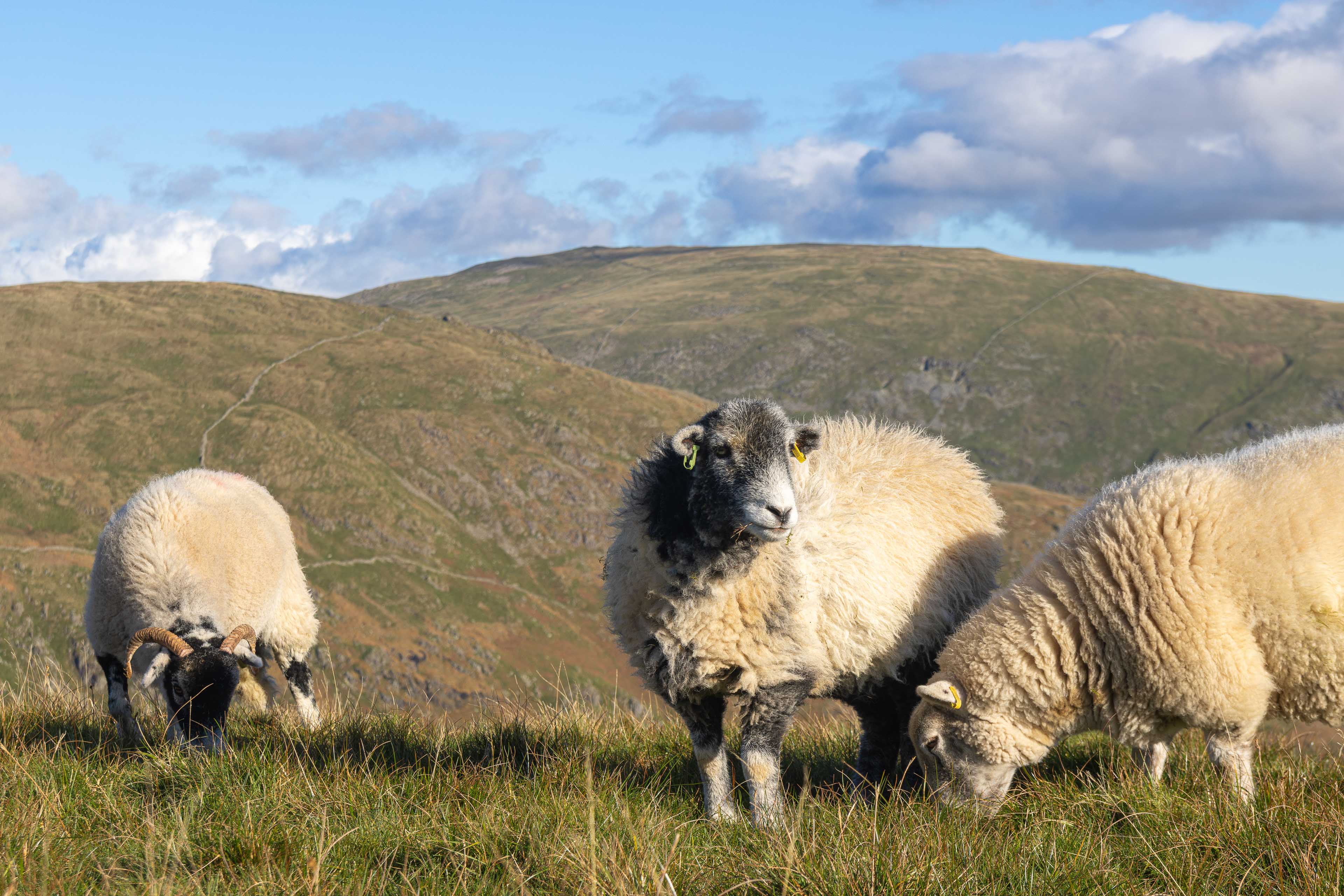
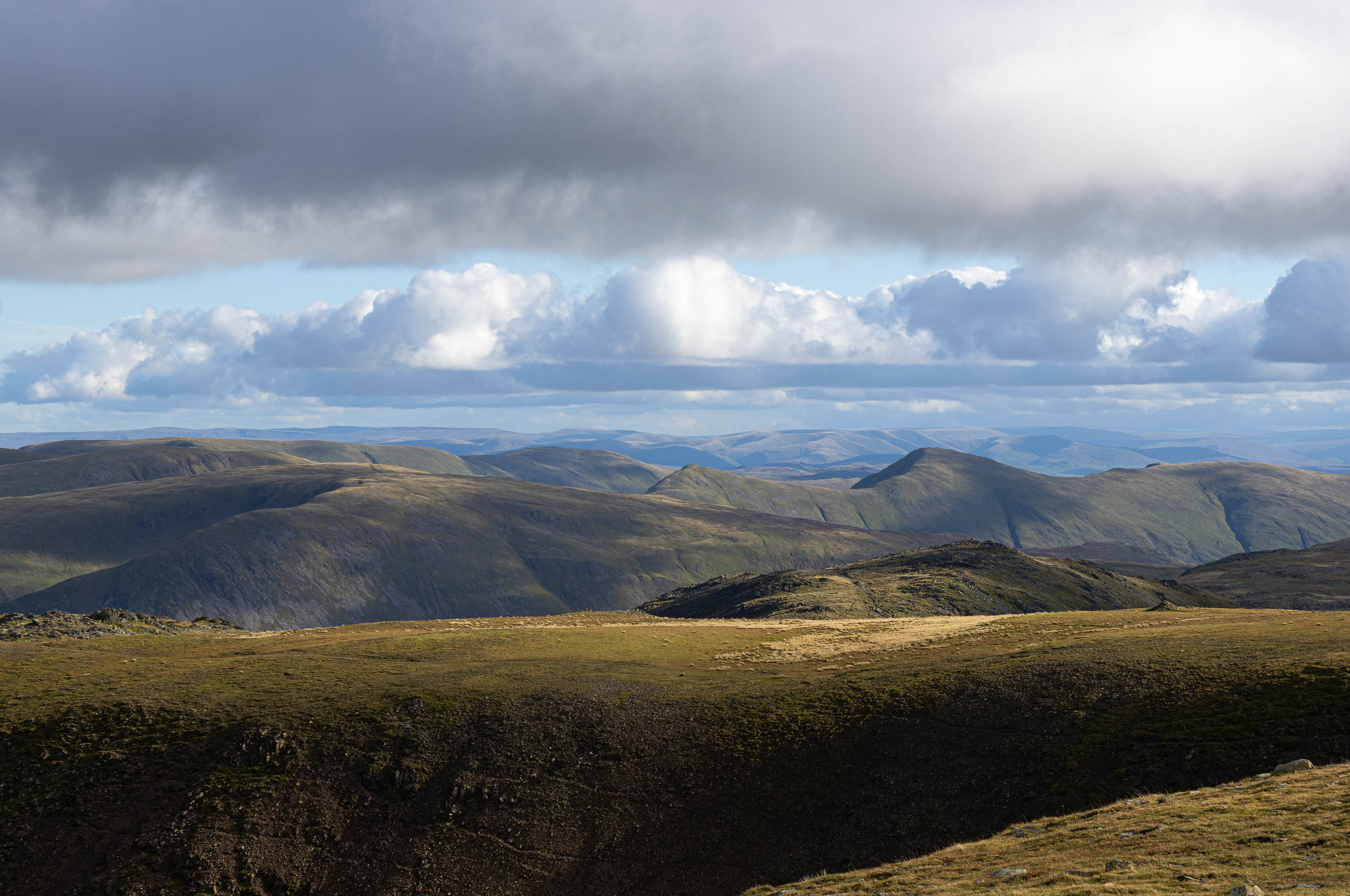
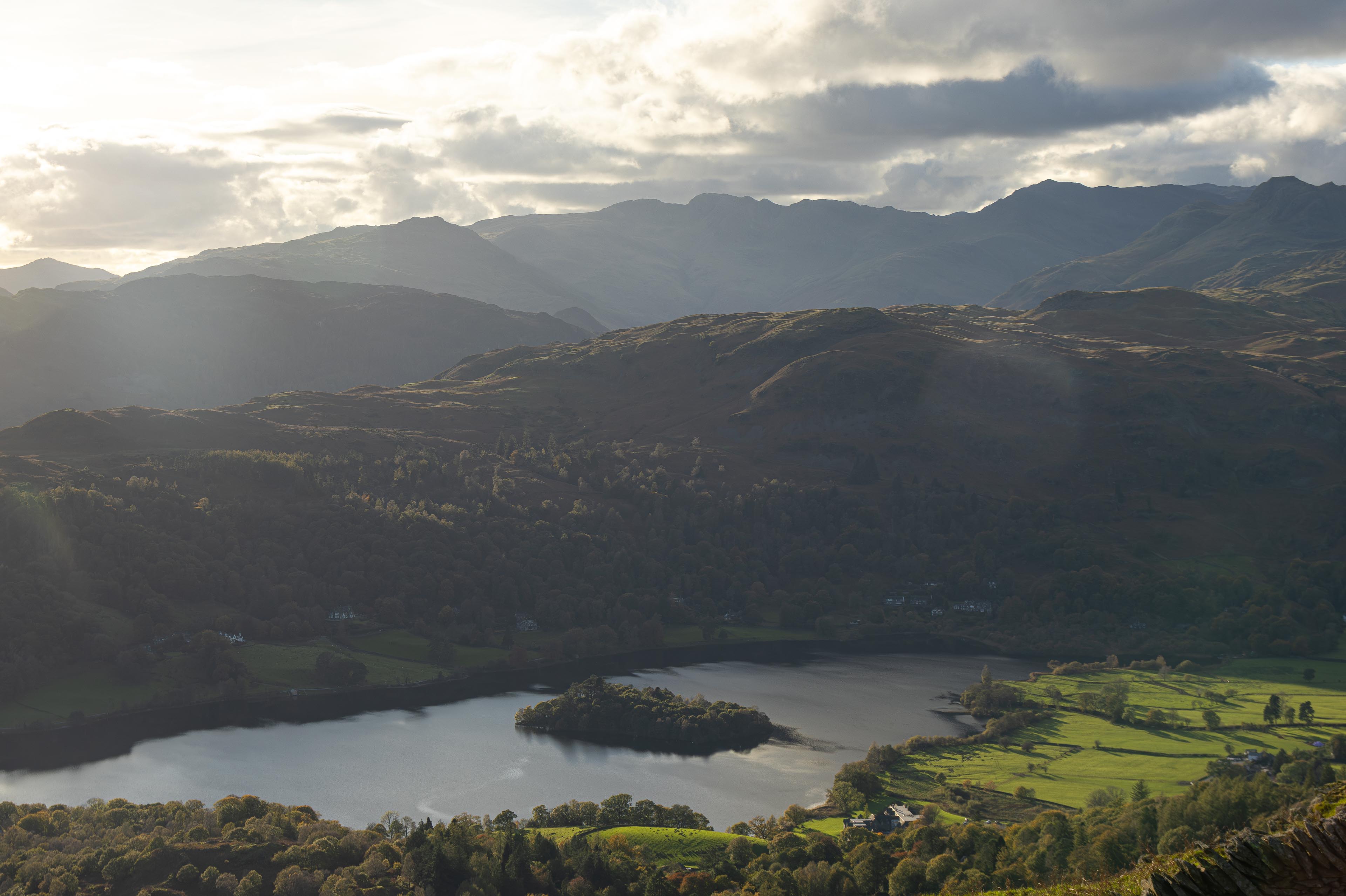
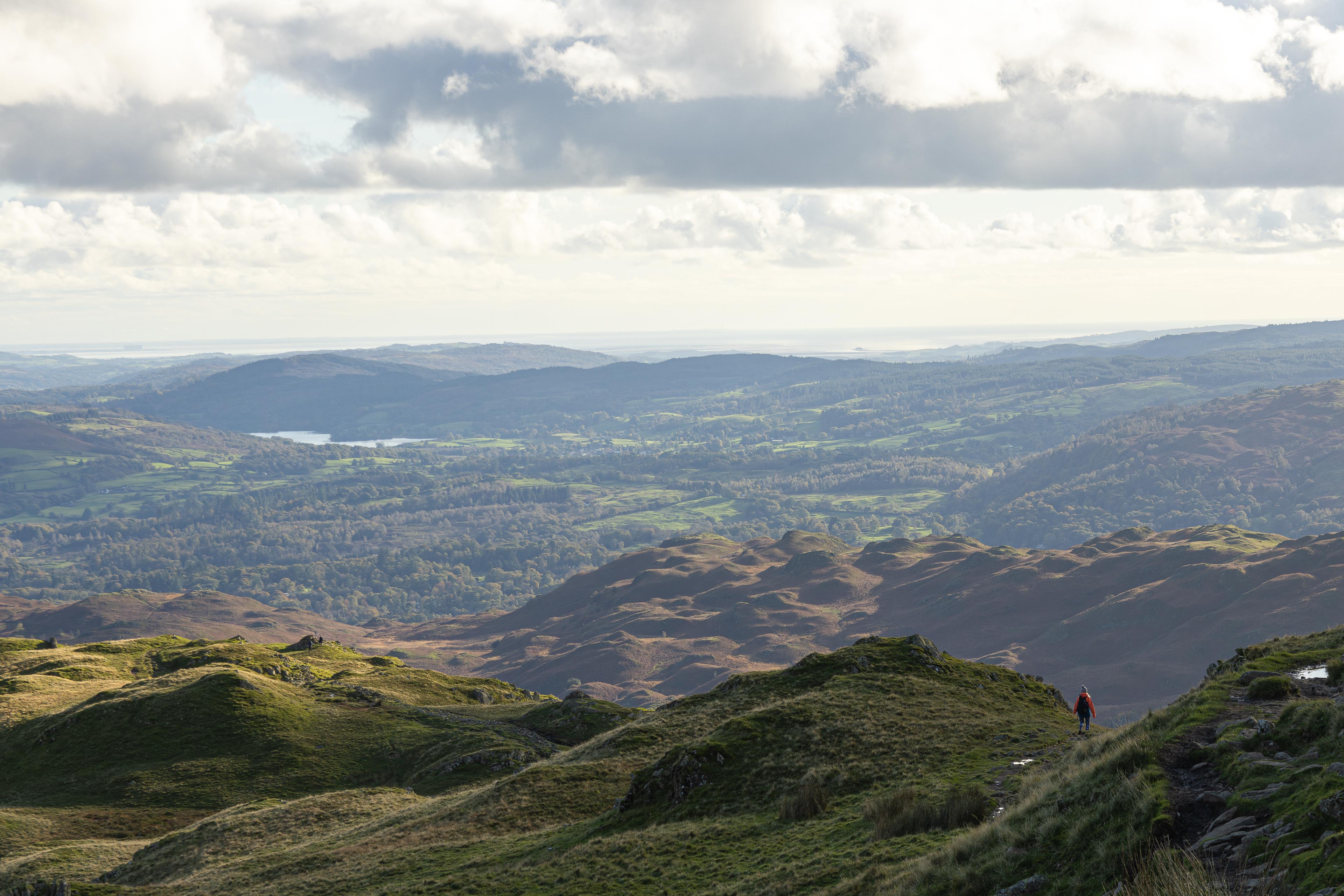

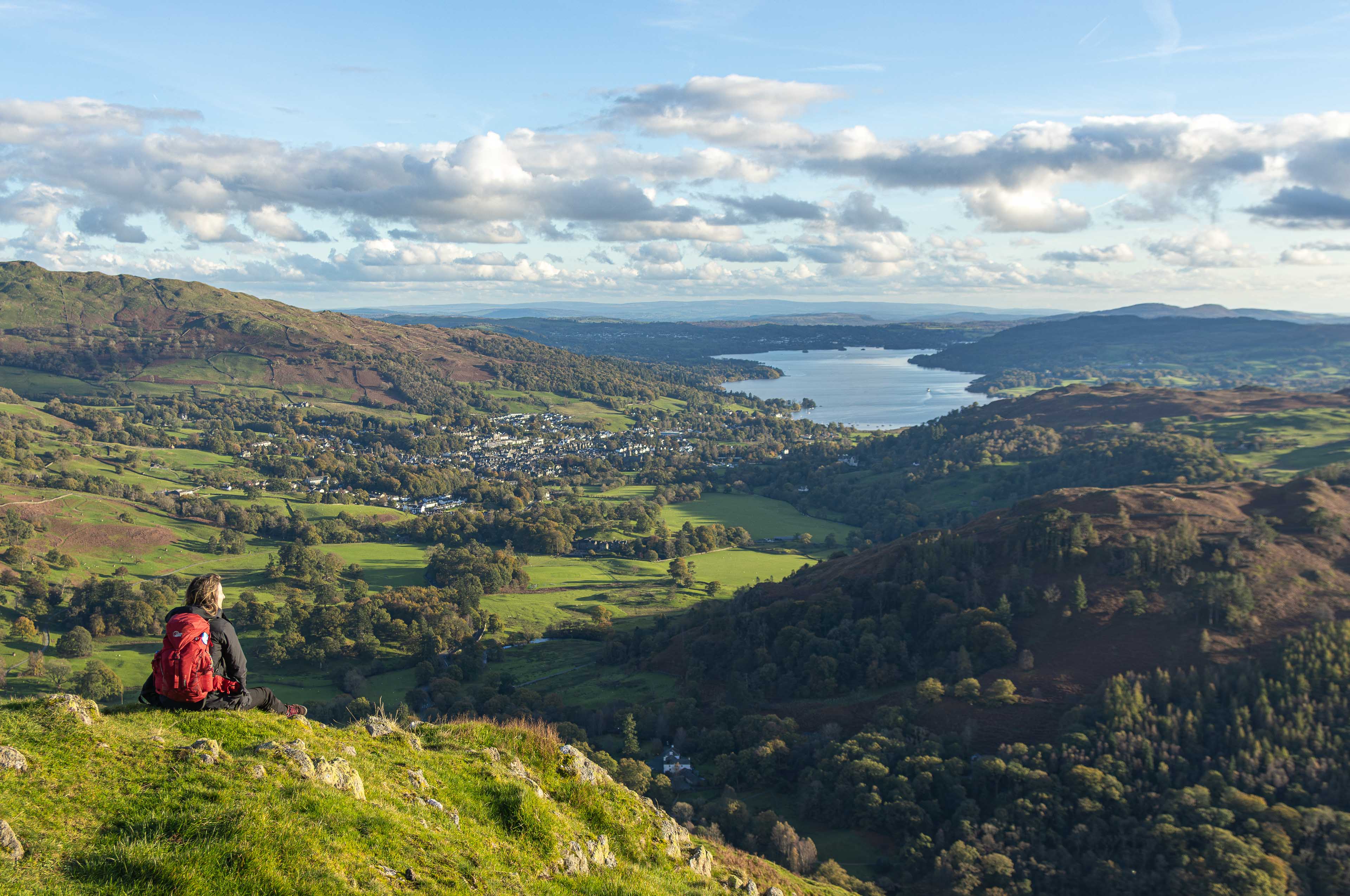
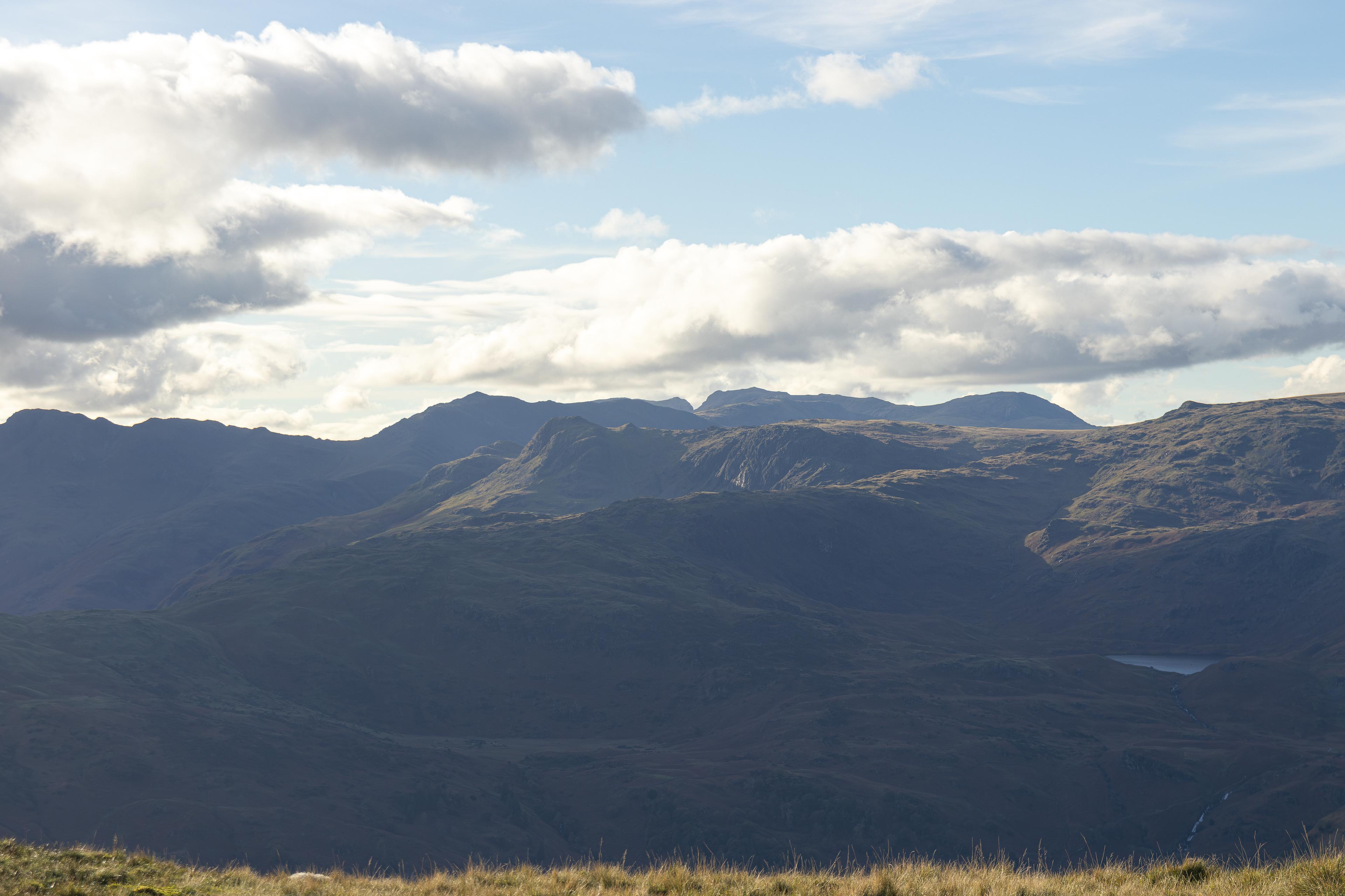
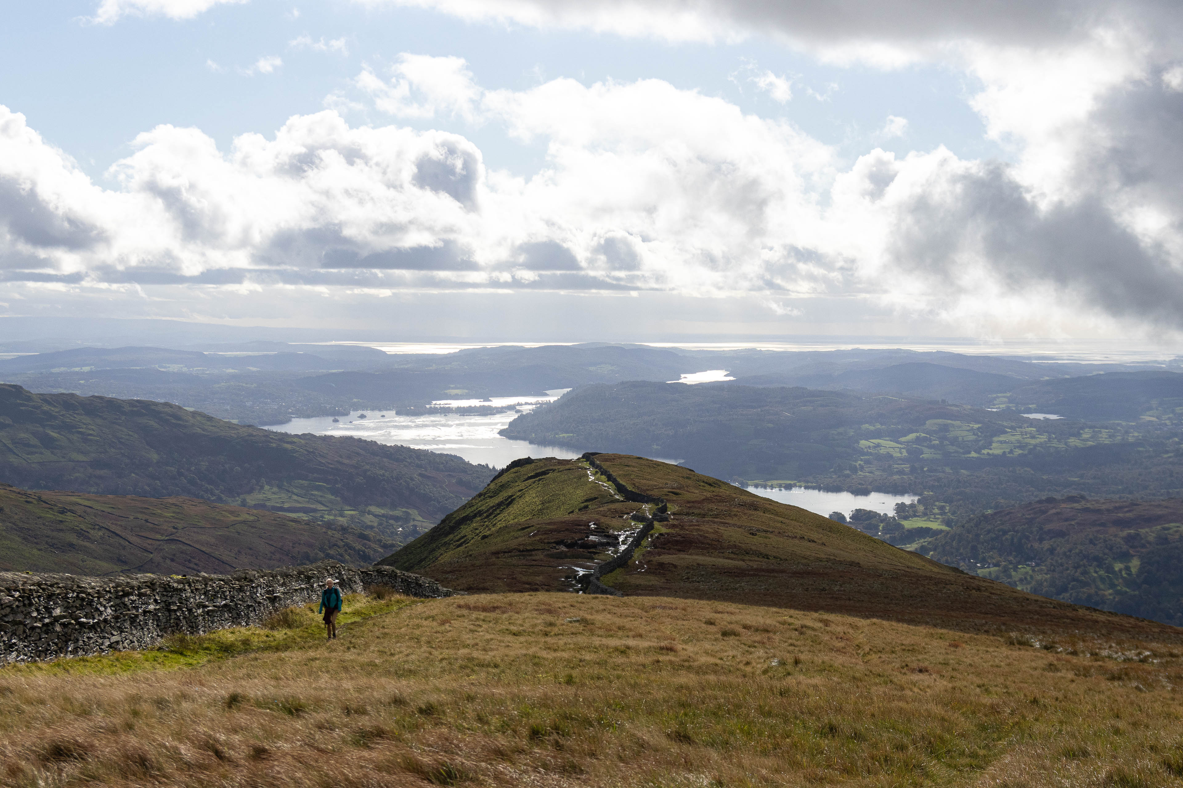
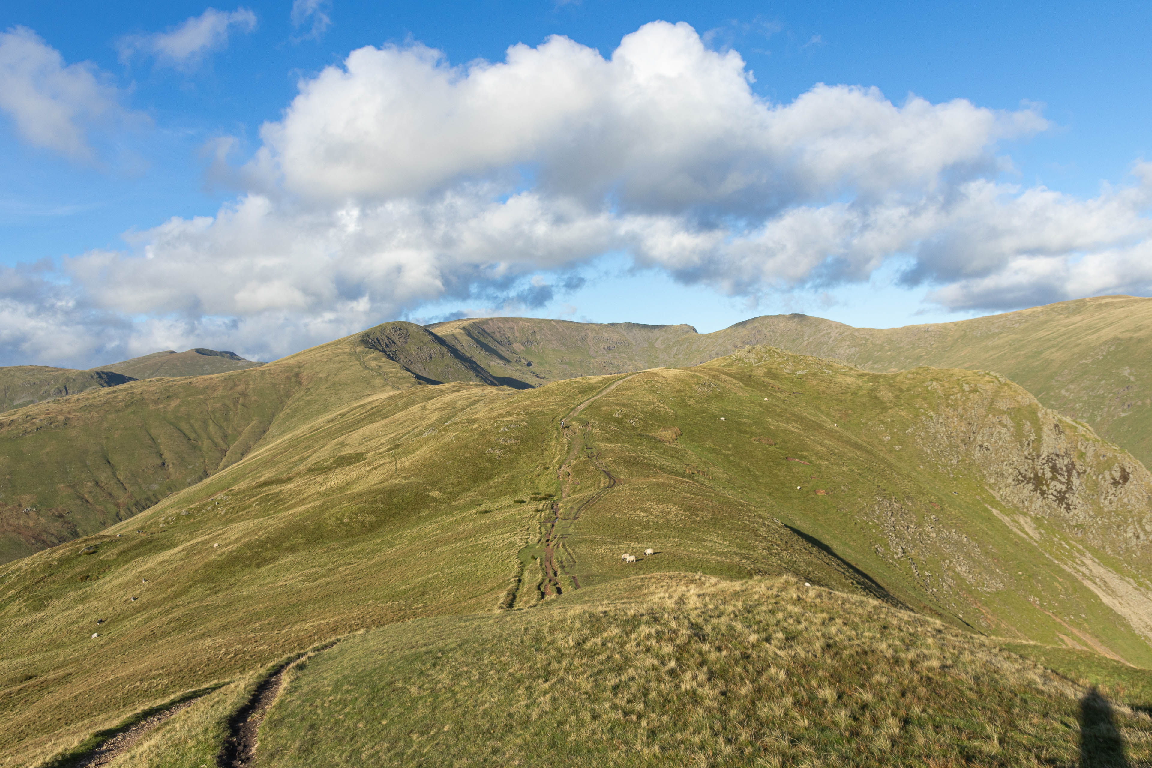
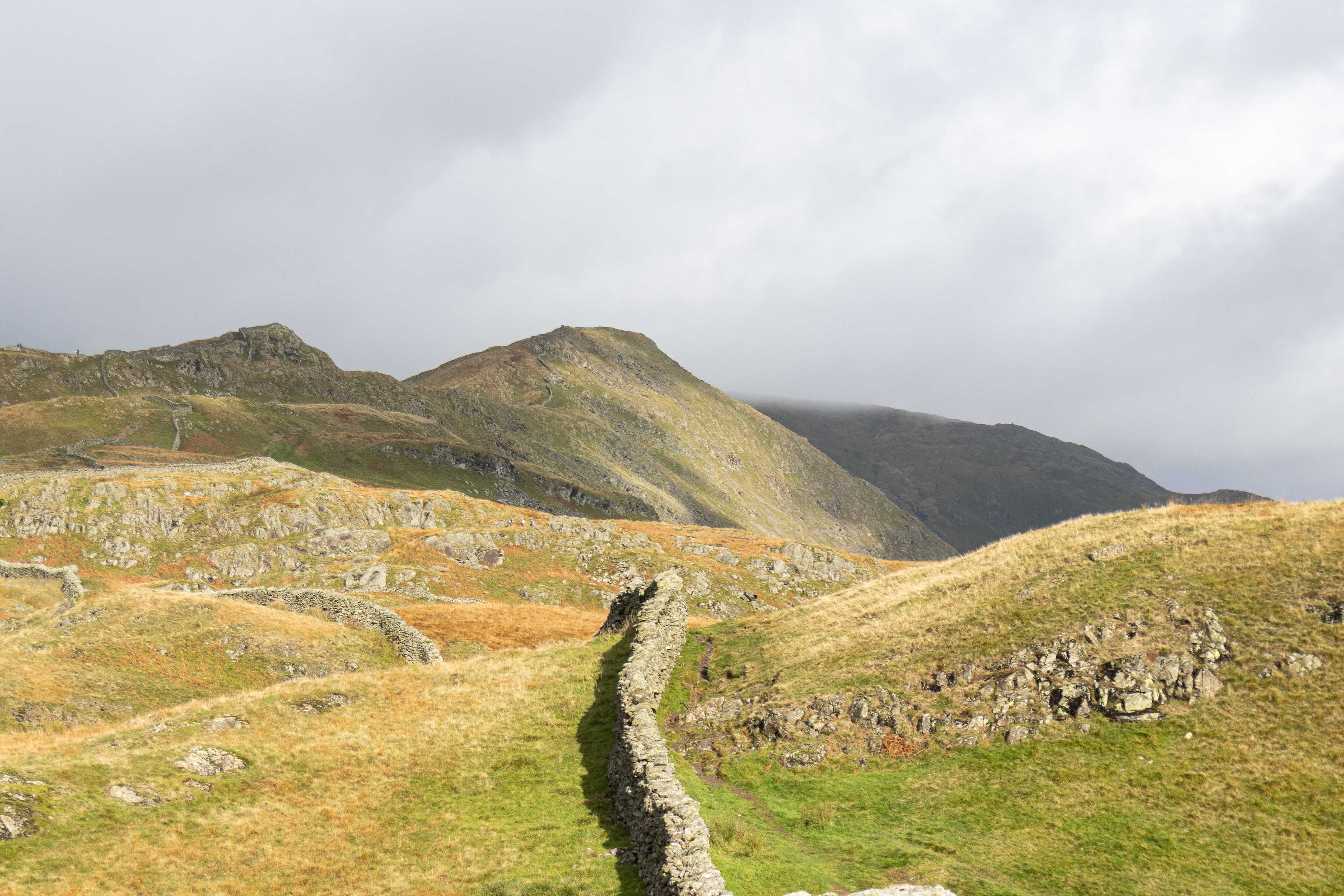
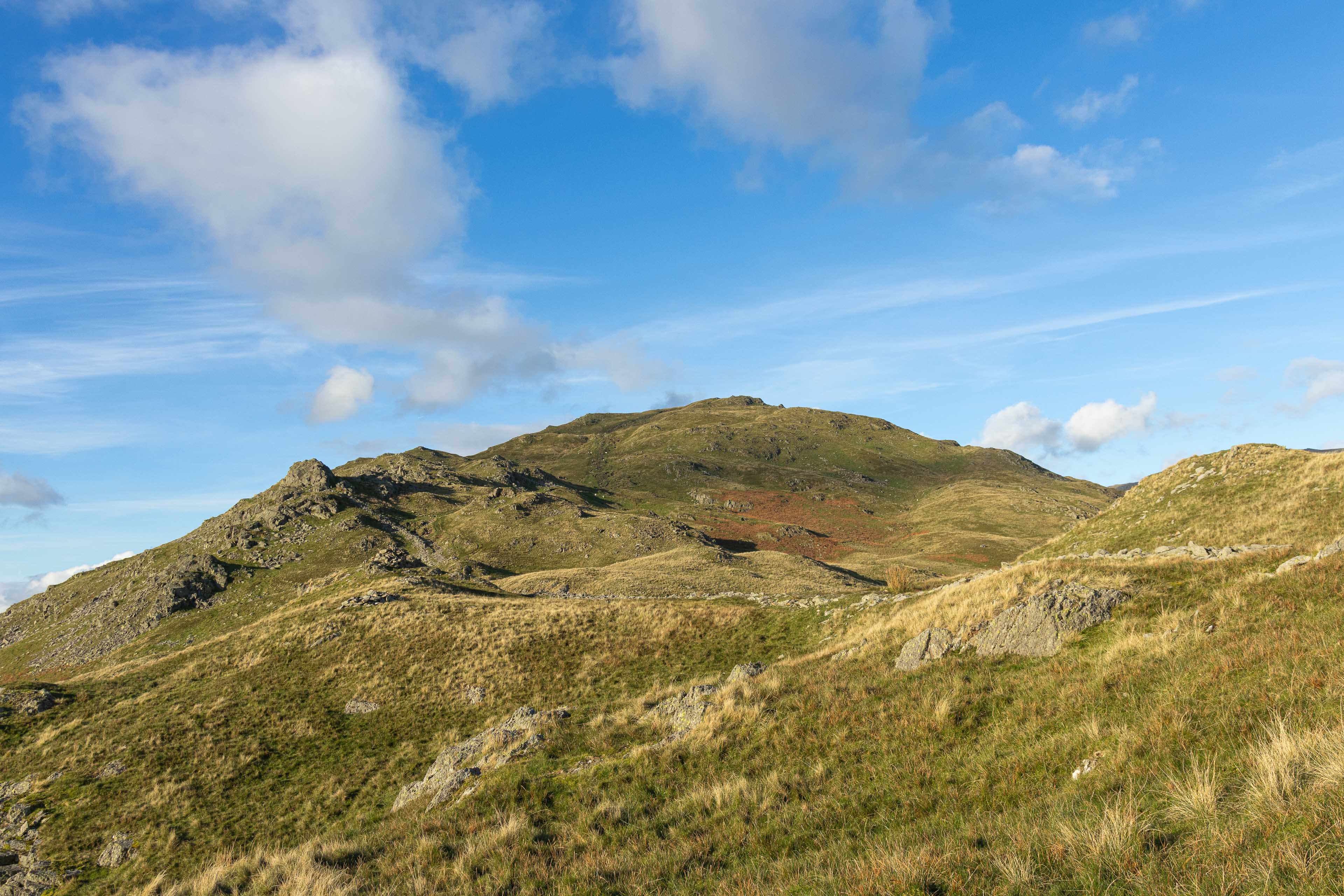
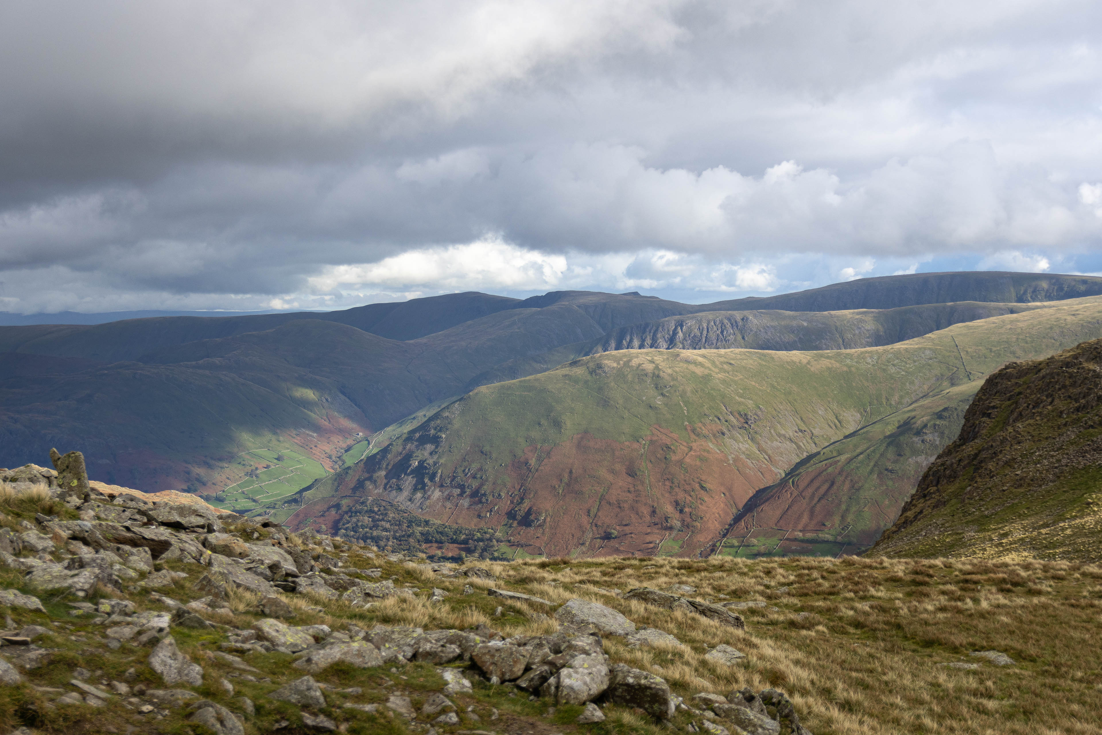
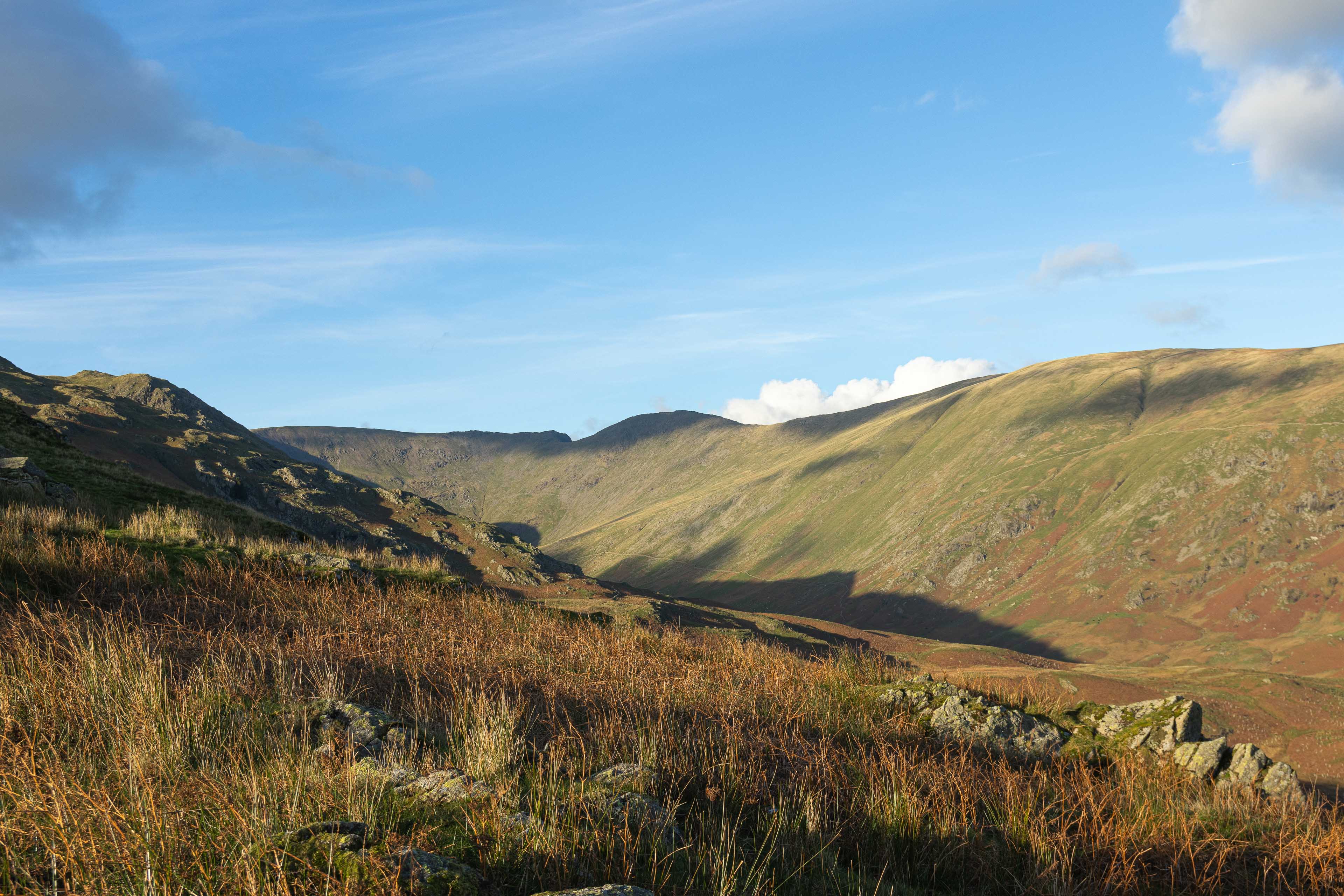
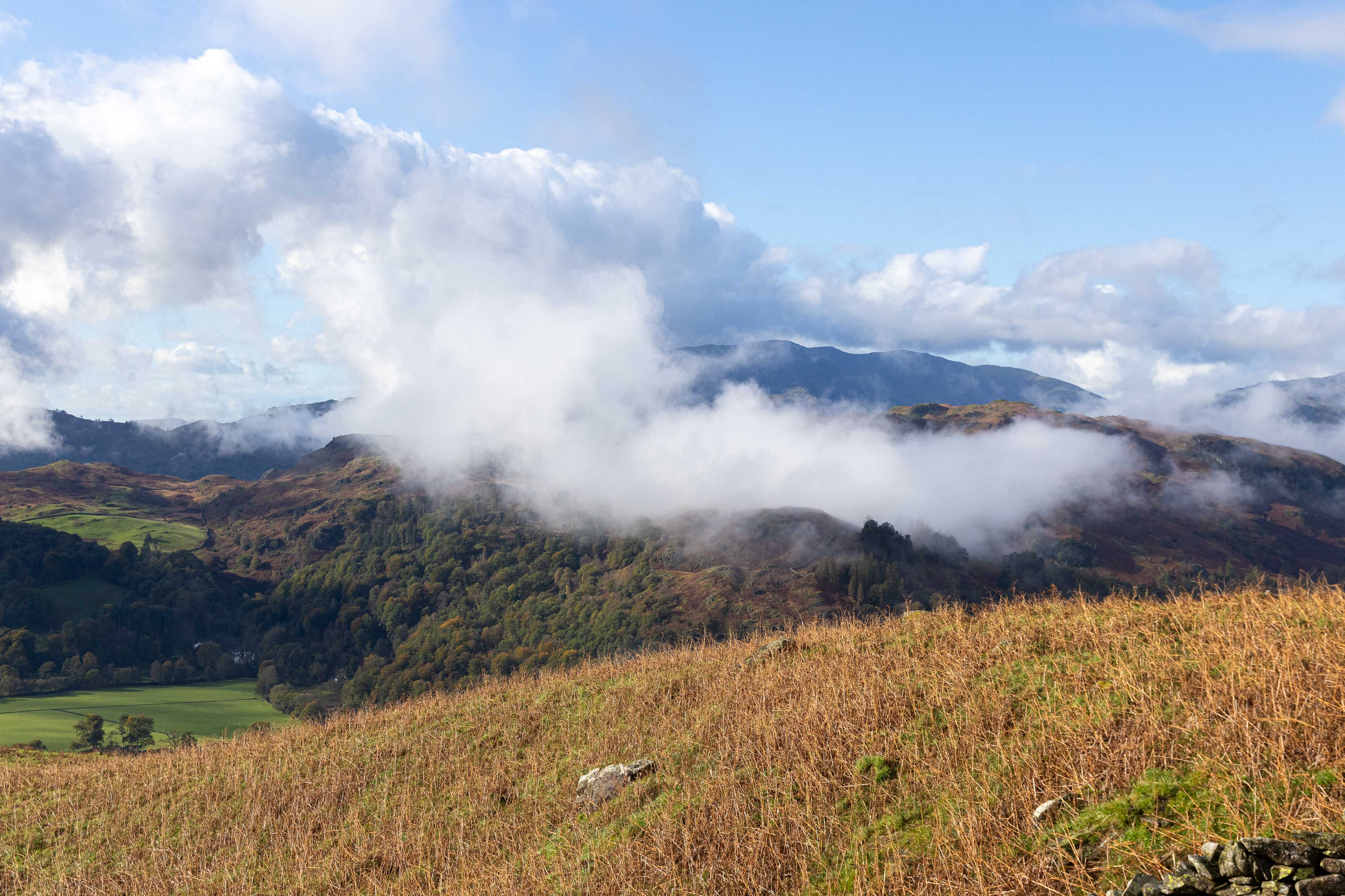
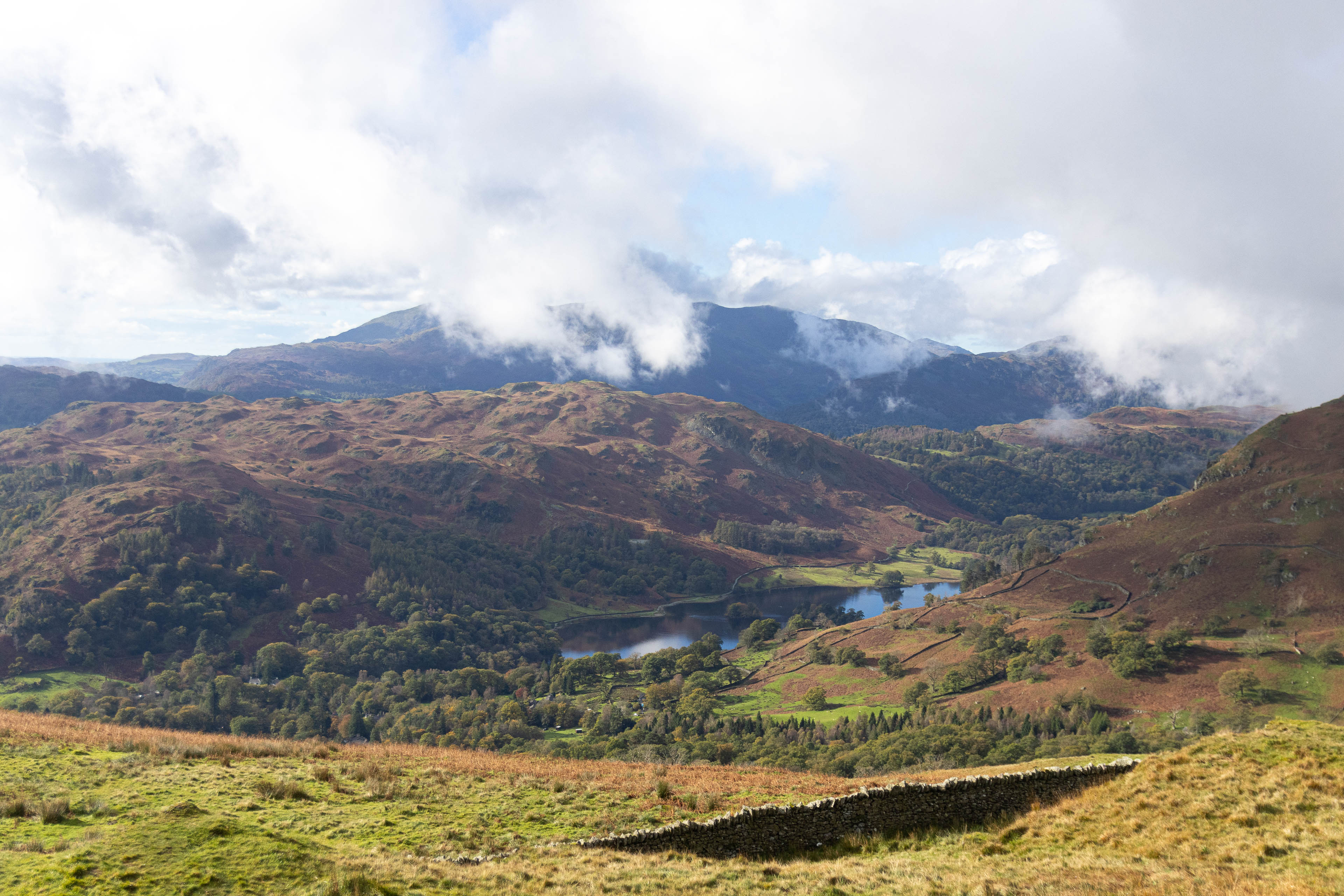
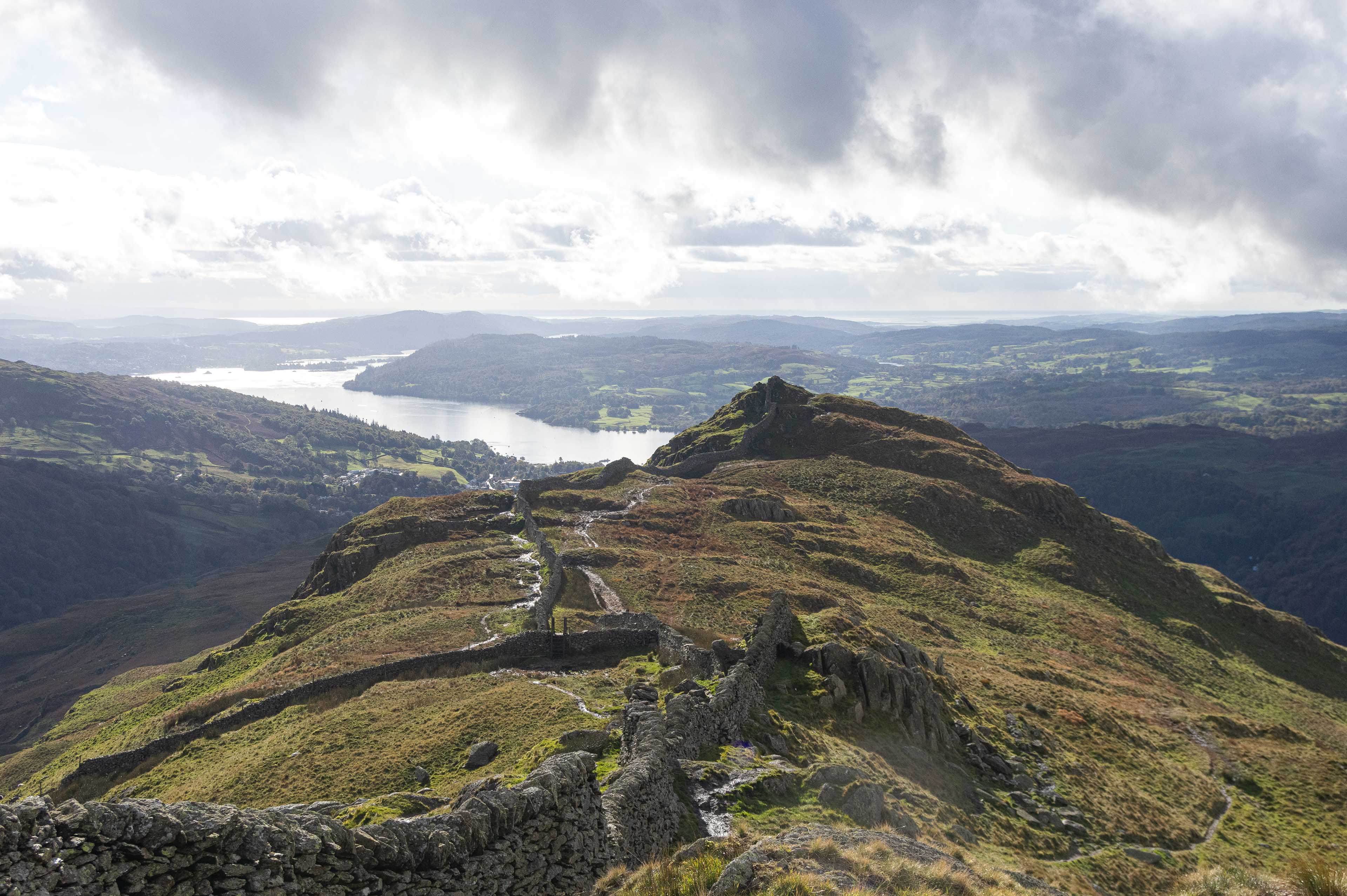
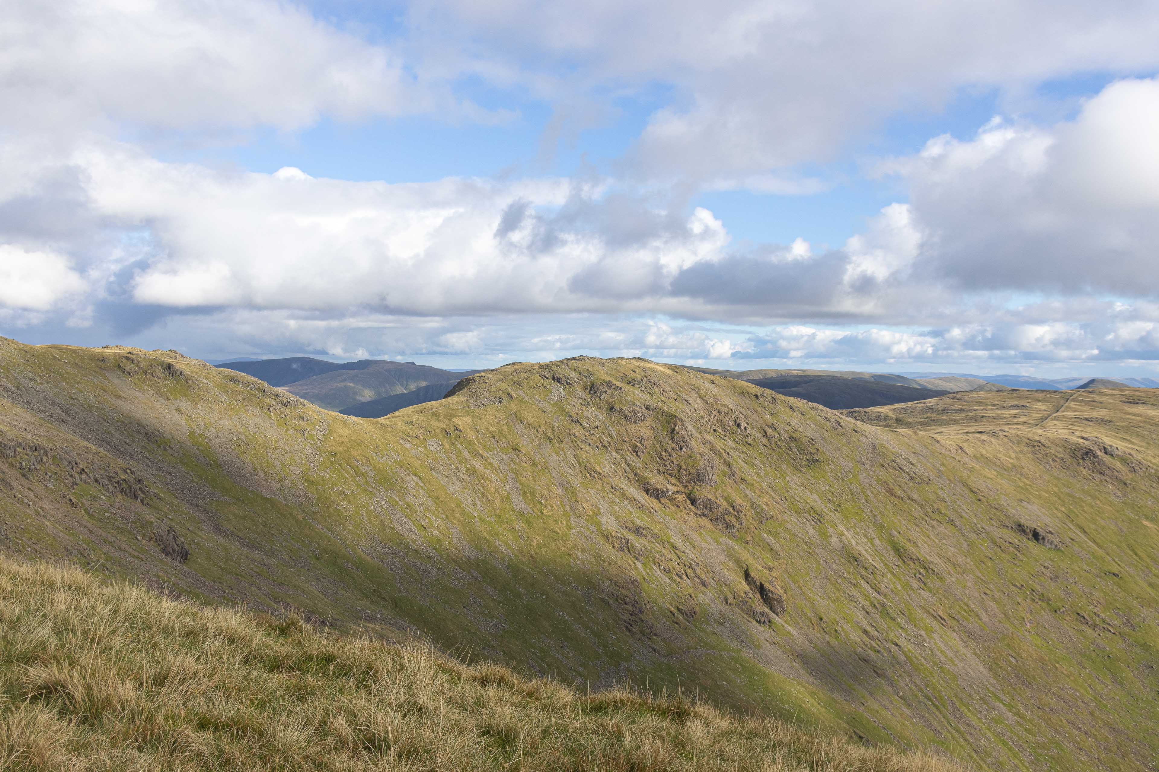
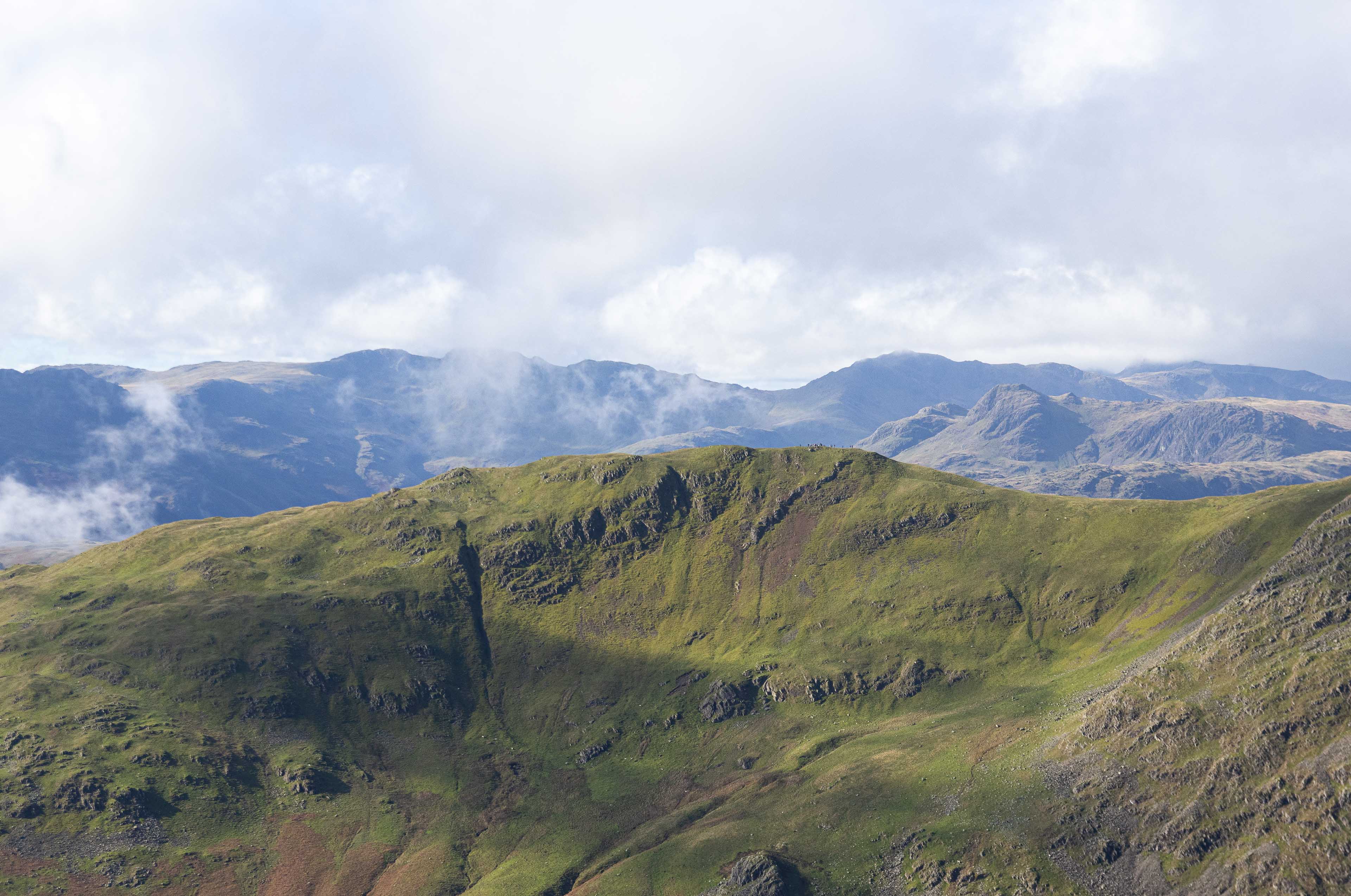

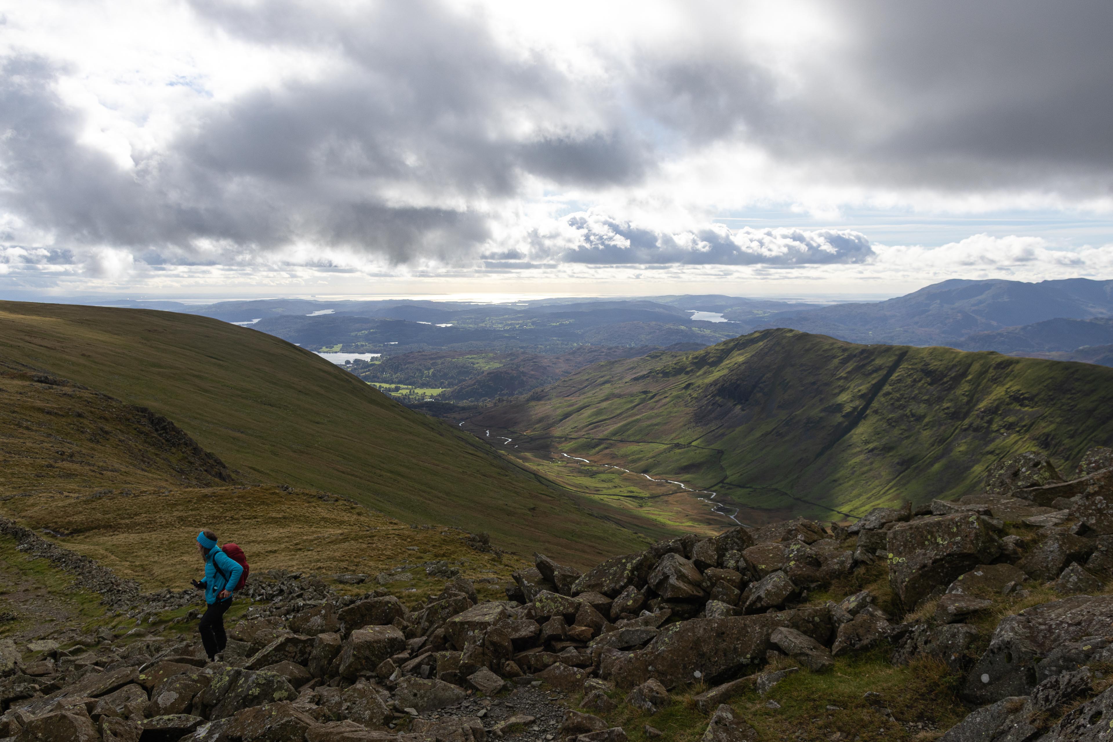
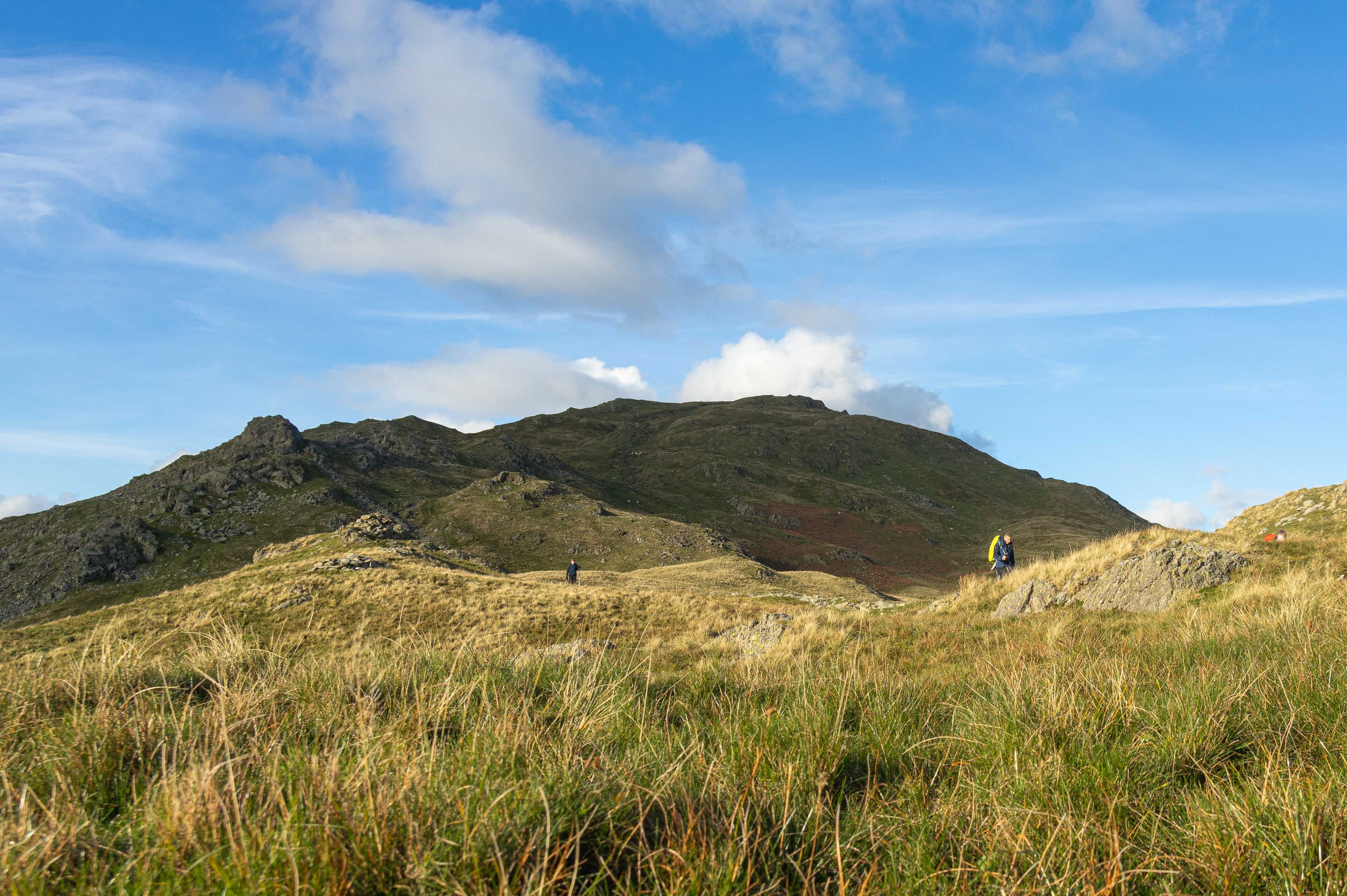
A classic day accessible hike in the Lake District is the Fairfield Horseshoe. Starting from Ambleside its easy to get too, and really quick to find the wild of the mountains fells.
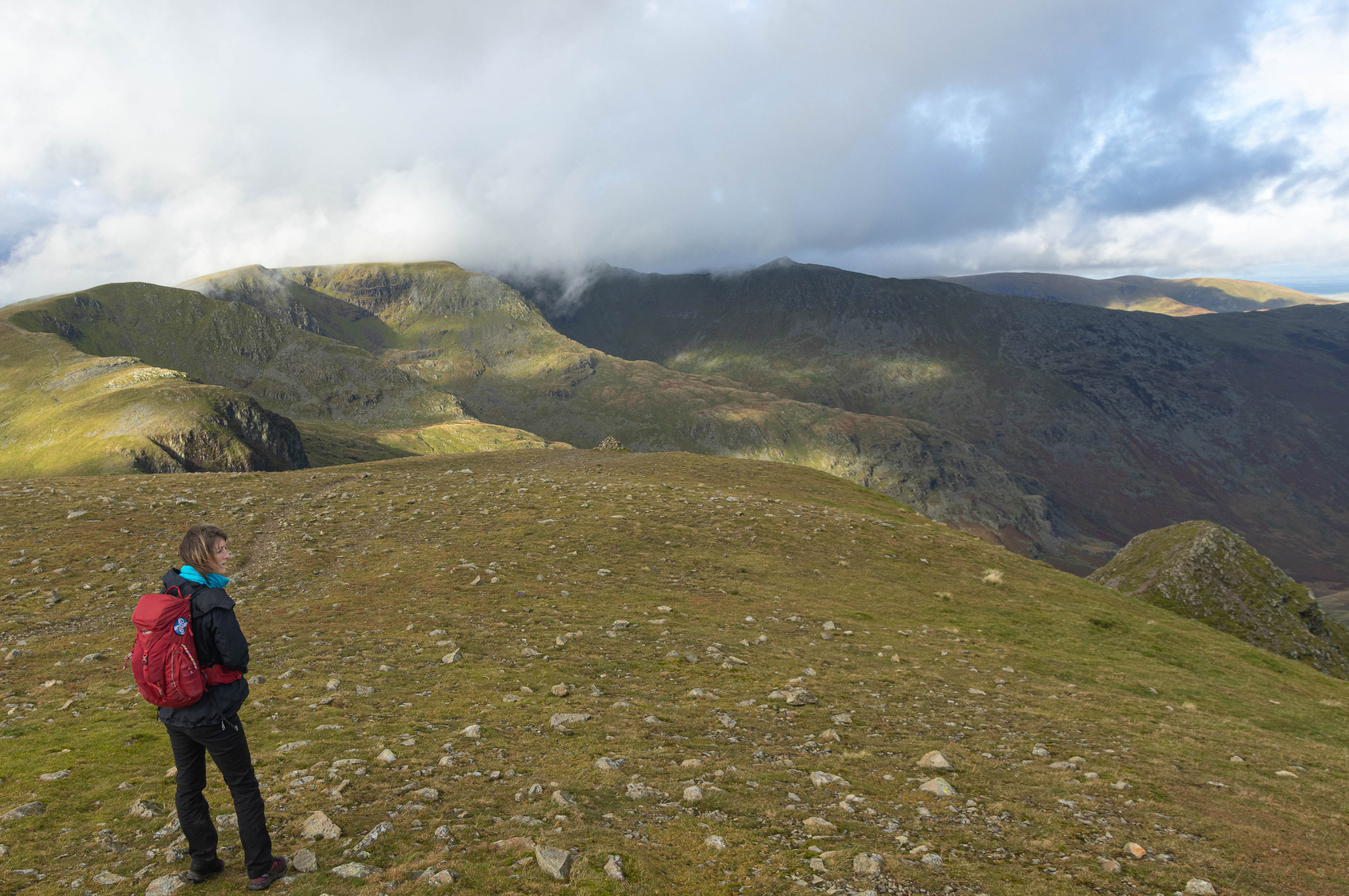
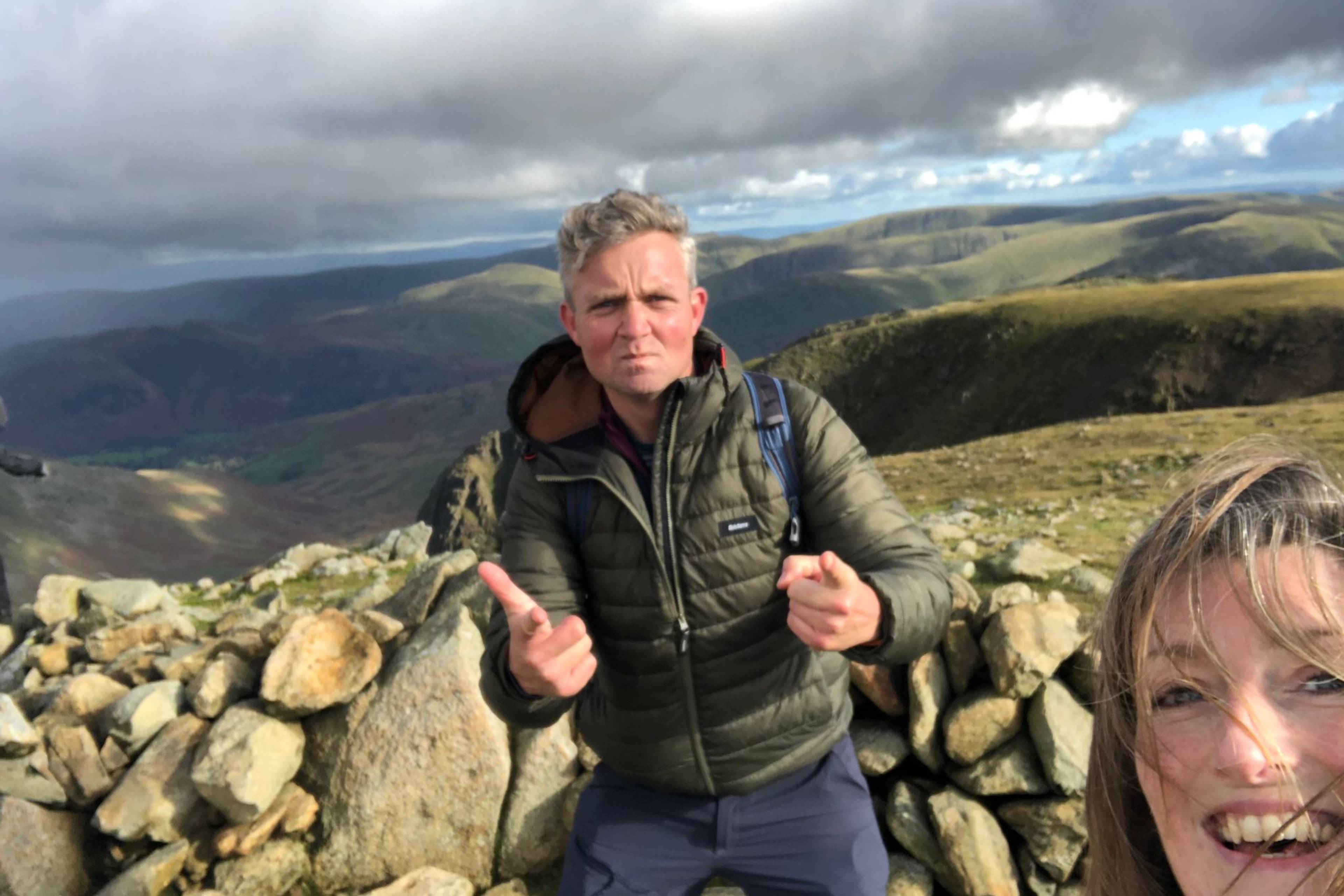
I enjoyed the company of my good friend Chris during this adventure. It was the first time we had hiked since the summer of 2019 when we conquered quite a few mountains while driving the Route 500 in Scotland.
The original plan was to meet in Scotland to hike the Ring of Steall route near Ben Nevis. (I was already on the Isle of Arran) However the storms of October 2023 made that too challenging so the Lakes was the “substitute”. And what a cracking substitute hike
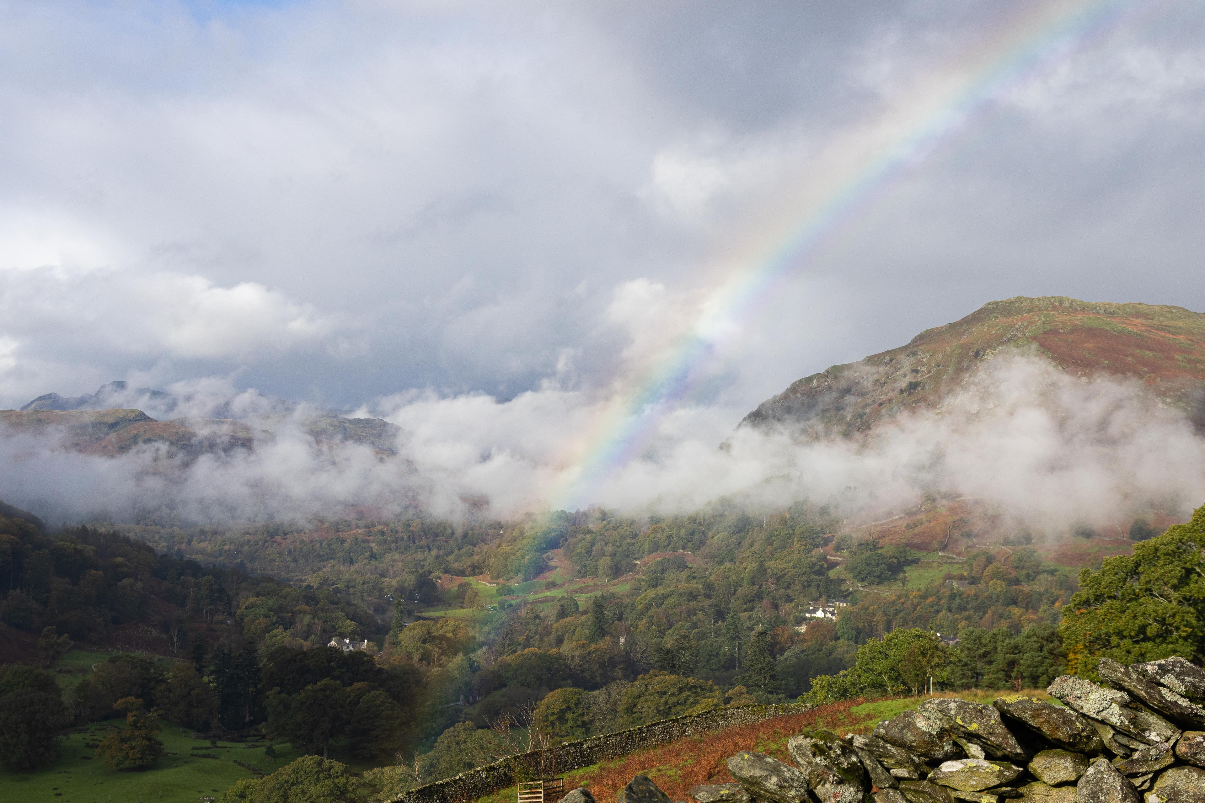
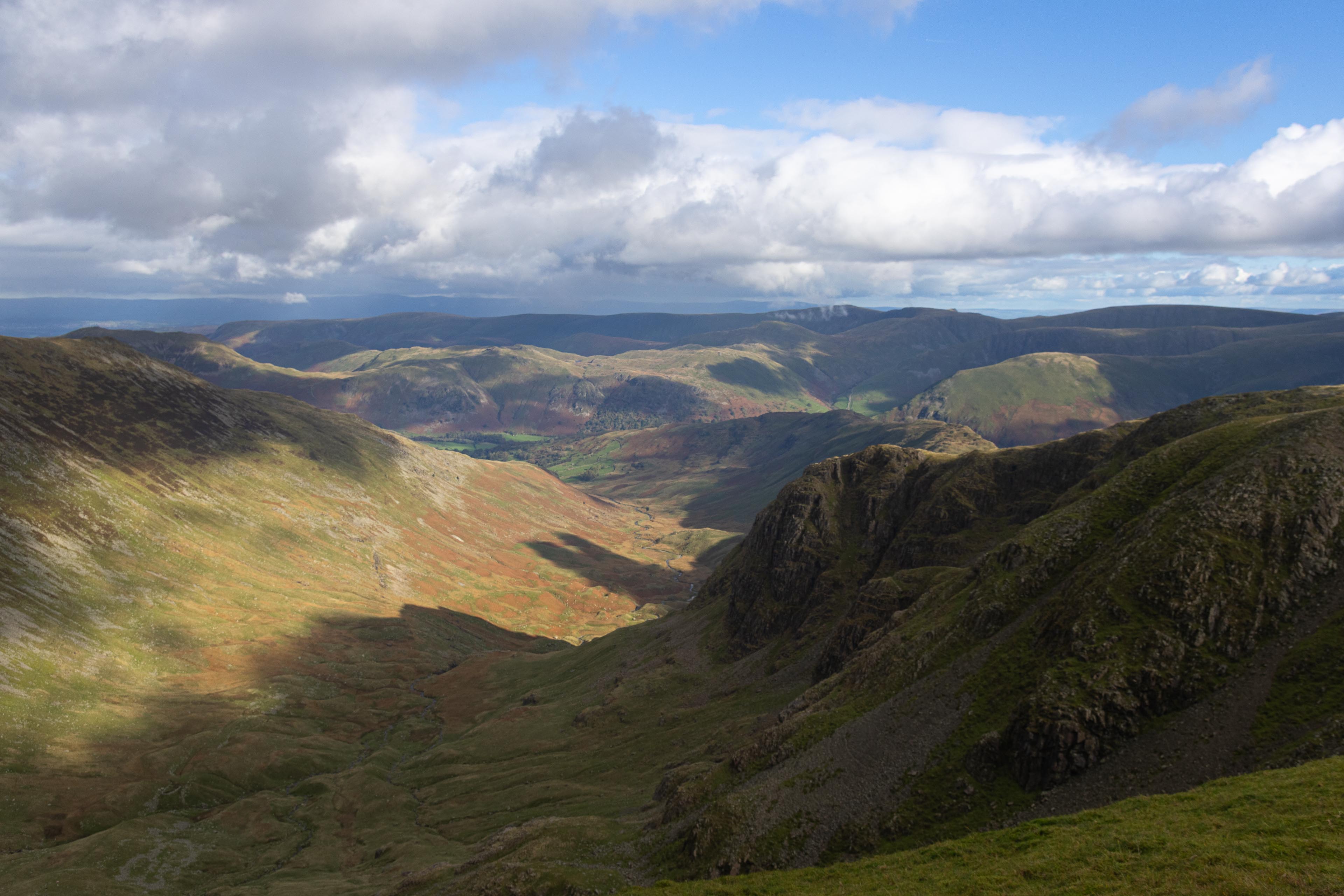
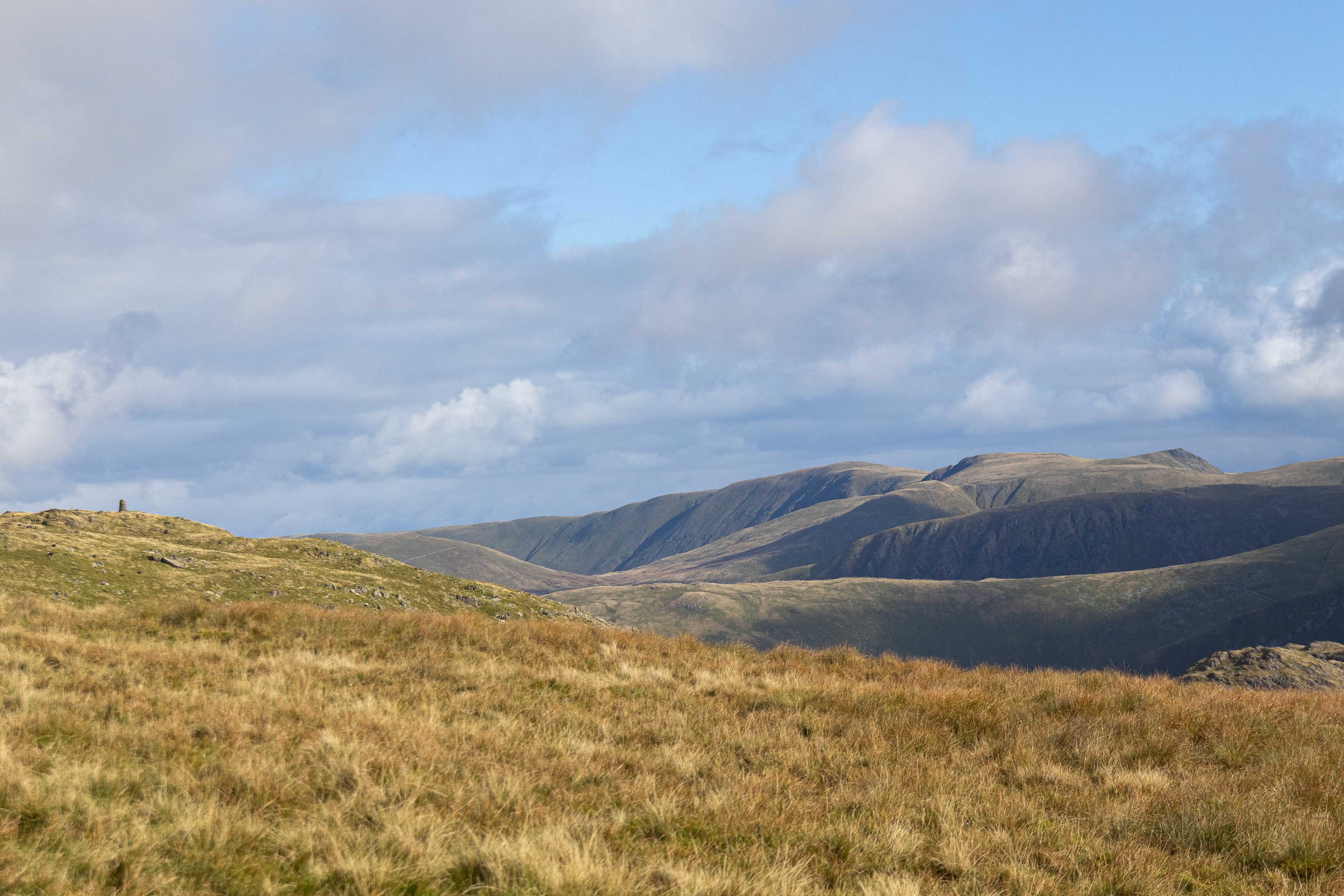
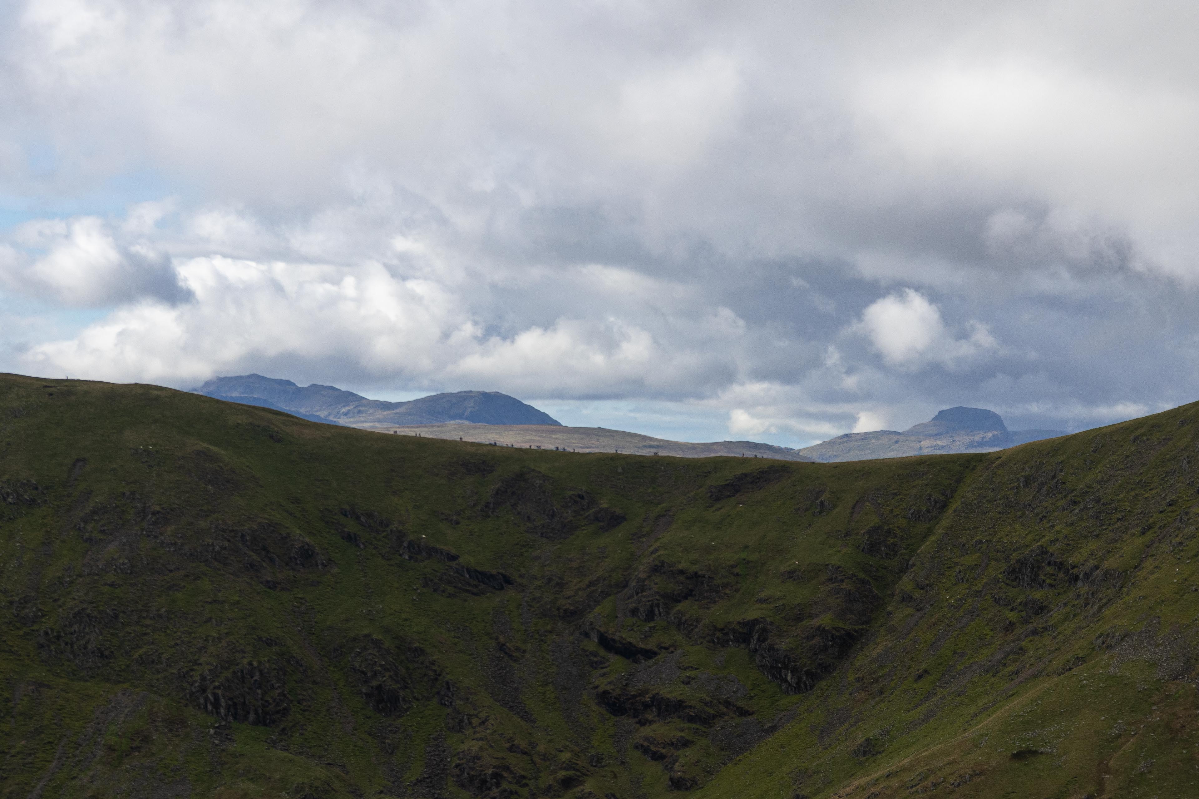
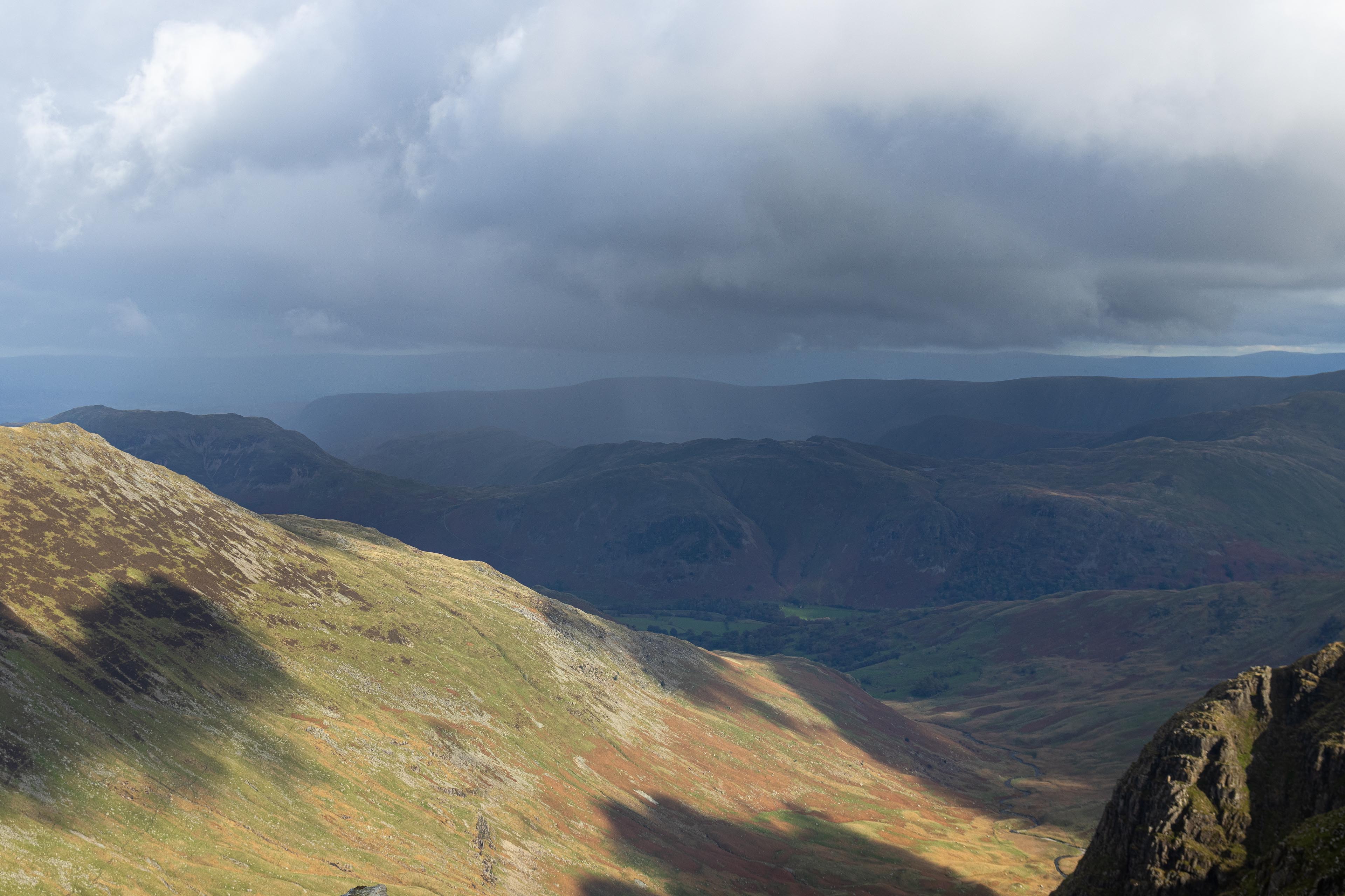
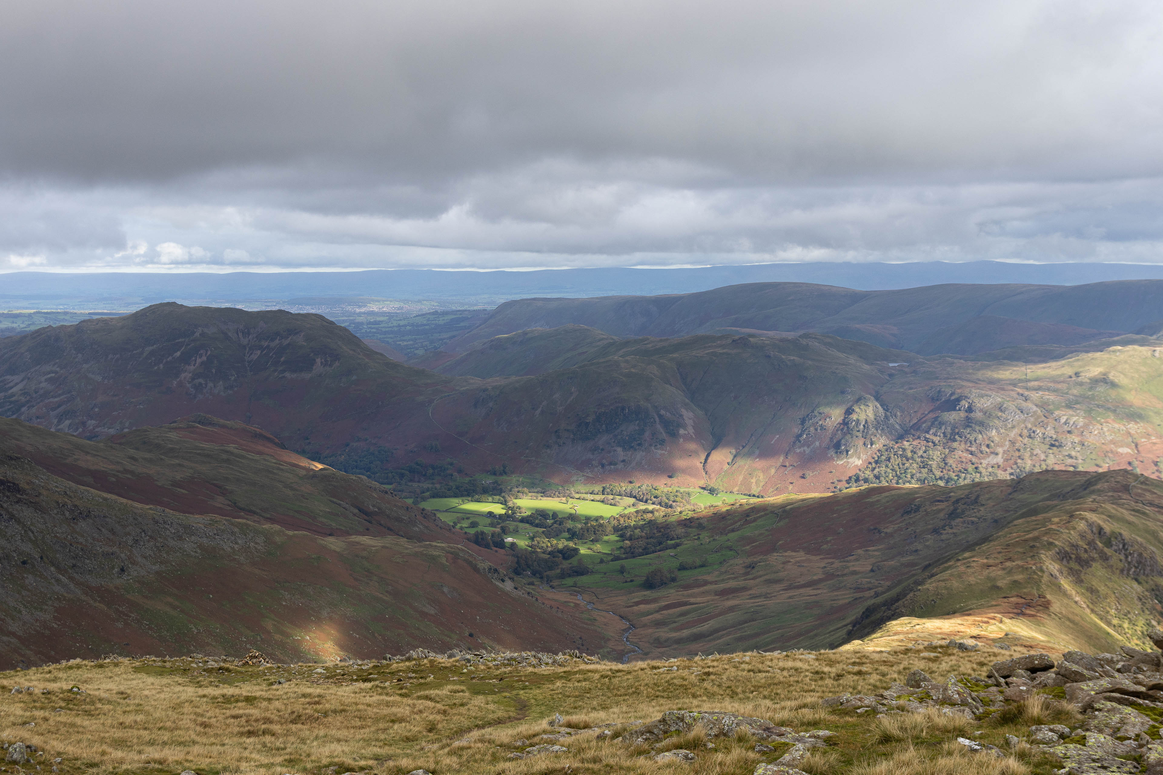
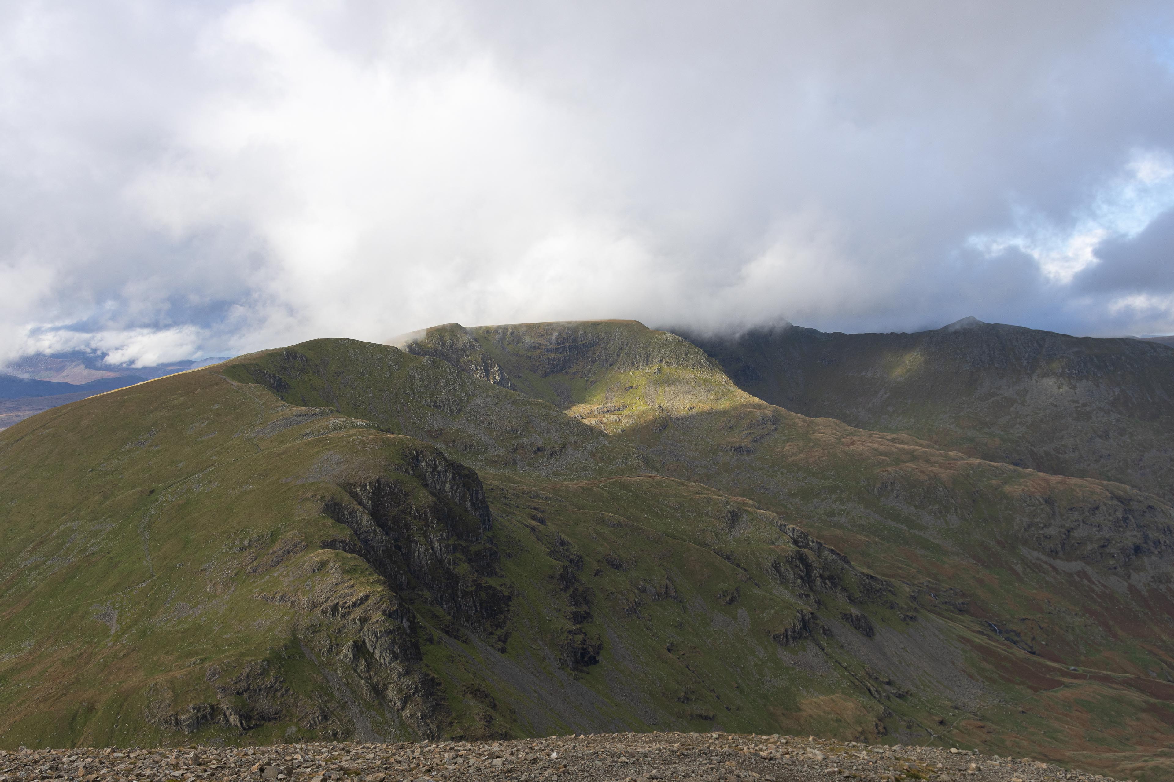
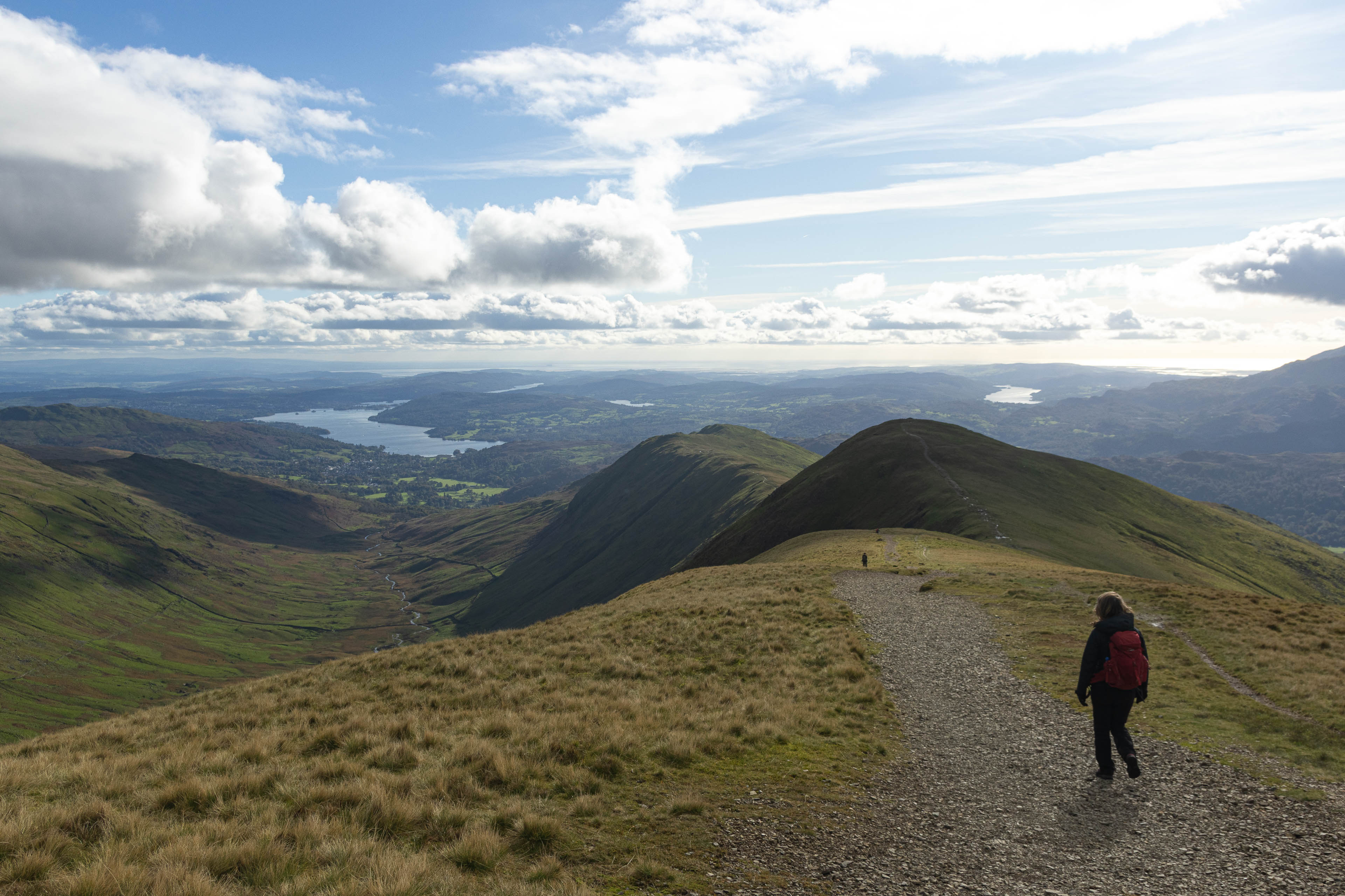
It turned out to be! A super impressive day in the mountains with fantastic views across the Lake District. A rainy start to the day turned out to be a beautiful sunny day with lingering distant clouds which seemed to stay in the distance,
providing some super atmospheric scenes of the landscape. One of those days perfect for some mountain photography.
A good solid distance, medium elevation gains and fairly straight forward walking was perfect for a good catch-up hike. (involving 4 years of life goings on and recounting some funny stories from Scotland like the time we thought we saw a dead person at the bottom of the Aonach Eagach ridge!)
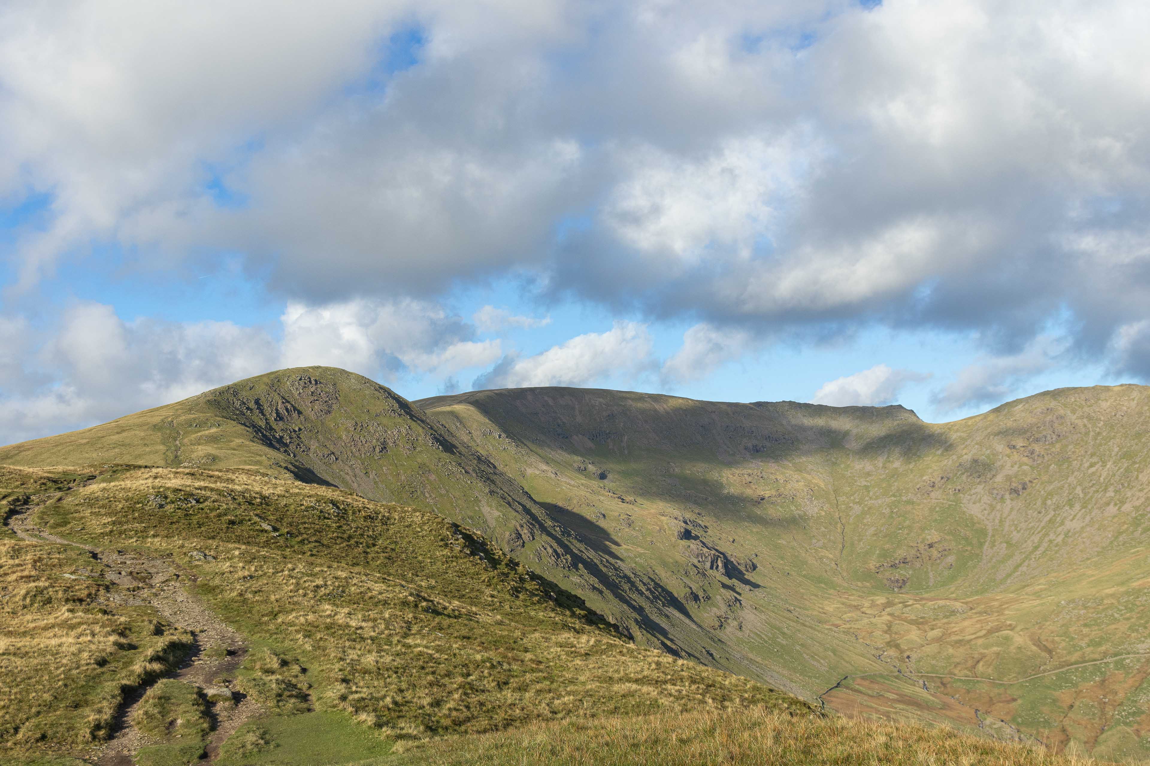
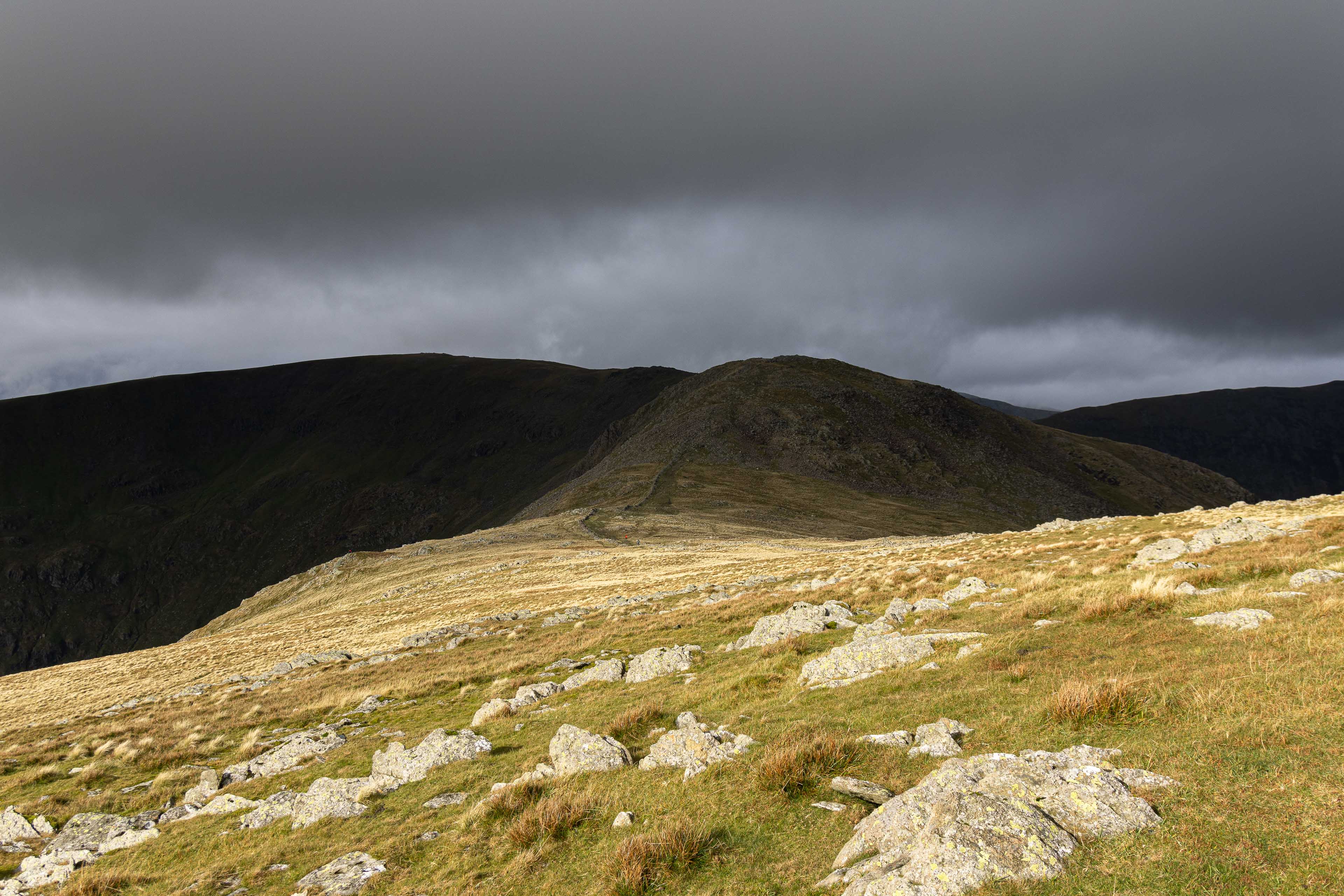
Although the weather was good, I would expect if conditions were bad with low visibility, then it would become very challenging, especially up the summit of Fairfield where the plateau is quite big and flat. Good route finding would be required to navigate back down to Ambleside.
A great full detailed description of the full hike can be found on “WalkLakes” website, link below:
https://www.walklakes.co.uk/walk_42.html
The easiest place to park up in Ambleside is the Rydal Road car park as its fairly close to the northern boundary of the town and quick to get into the countryside. Post code is LA22 9AN.
Any questions on the route feel free to message. GPX route also available.