Orval Circular
Isle of Rum, Scotland
The trail:
- Location: Isle of Rum, Scotland
- Categories: Spring / Summer / Autumn / Tundra / Highland / Mountain / Foothill / Coastal / Islands / Marsh / Rural / Sea / River / Stream
- Duration: 5-7 Hours
- Distance: 16 Miles
Walking the trail:
- Summary: Orval is the highest of the hills on the northern area of Rum which will give superb views across Rum, Rum Cuillins and across to the Isle of Skyes Cuillins and Old Man Storr, over 35 miles to the north! A fabulous full day in the wilds of Rum.


Another year, another trip up to the highlands of Scotland for some more hiking adventures! This time I wanted to begin with a visit to the isle of Rum, one of the small isles situated south of the isle of Skye along the west coast of the Inner Hebrides. Access to the island is via the CalMac ferry that runs from Mallaig on the mainland. Link below.
https://www.calmac.co.uk/article/2983/Small-Isles-Mallaig---Eigg---Muck---Rum---Canna
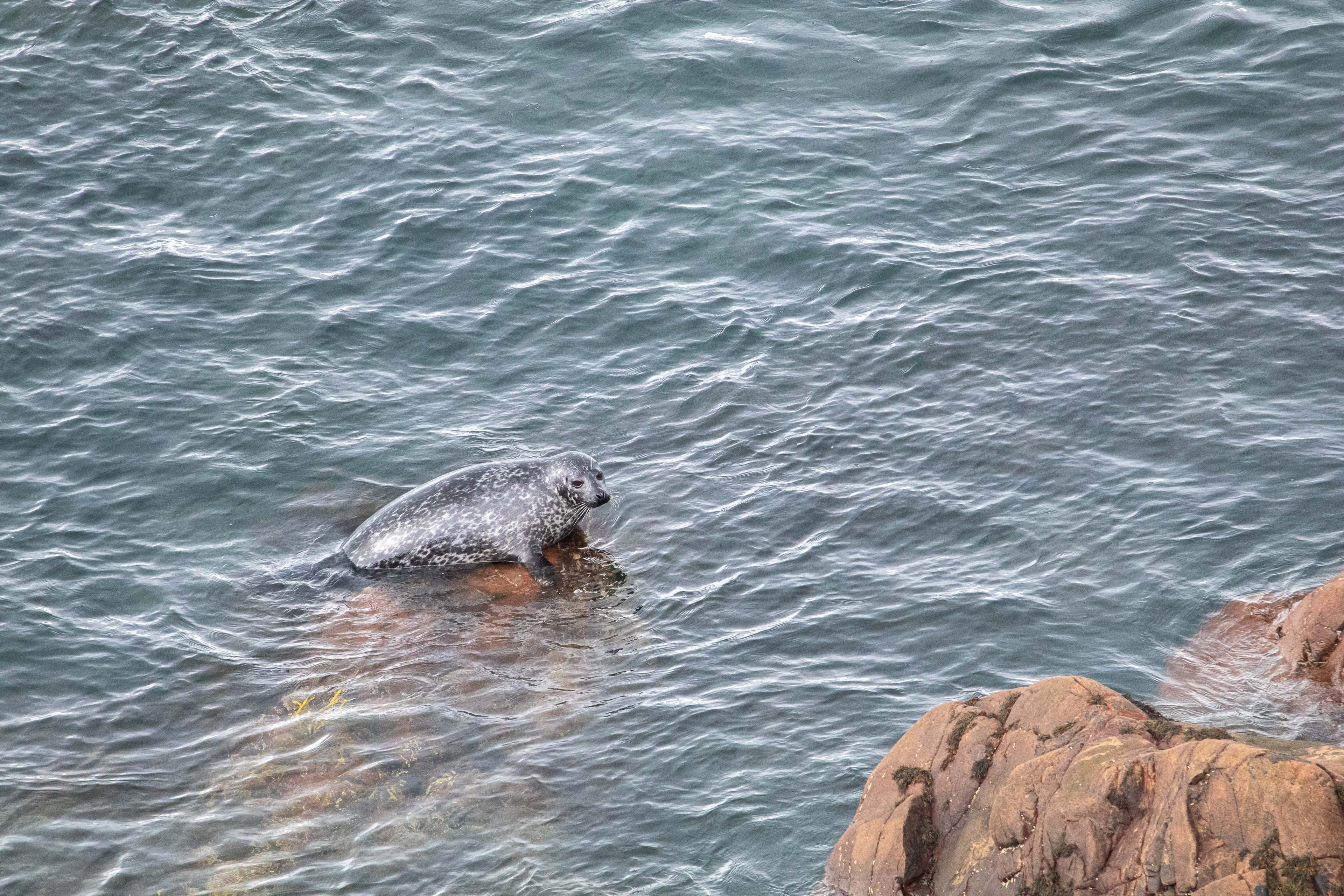
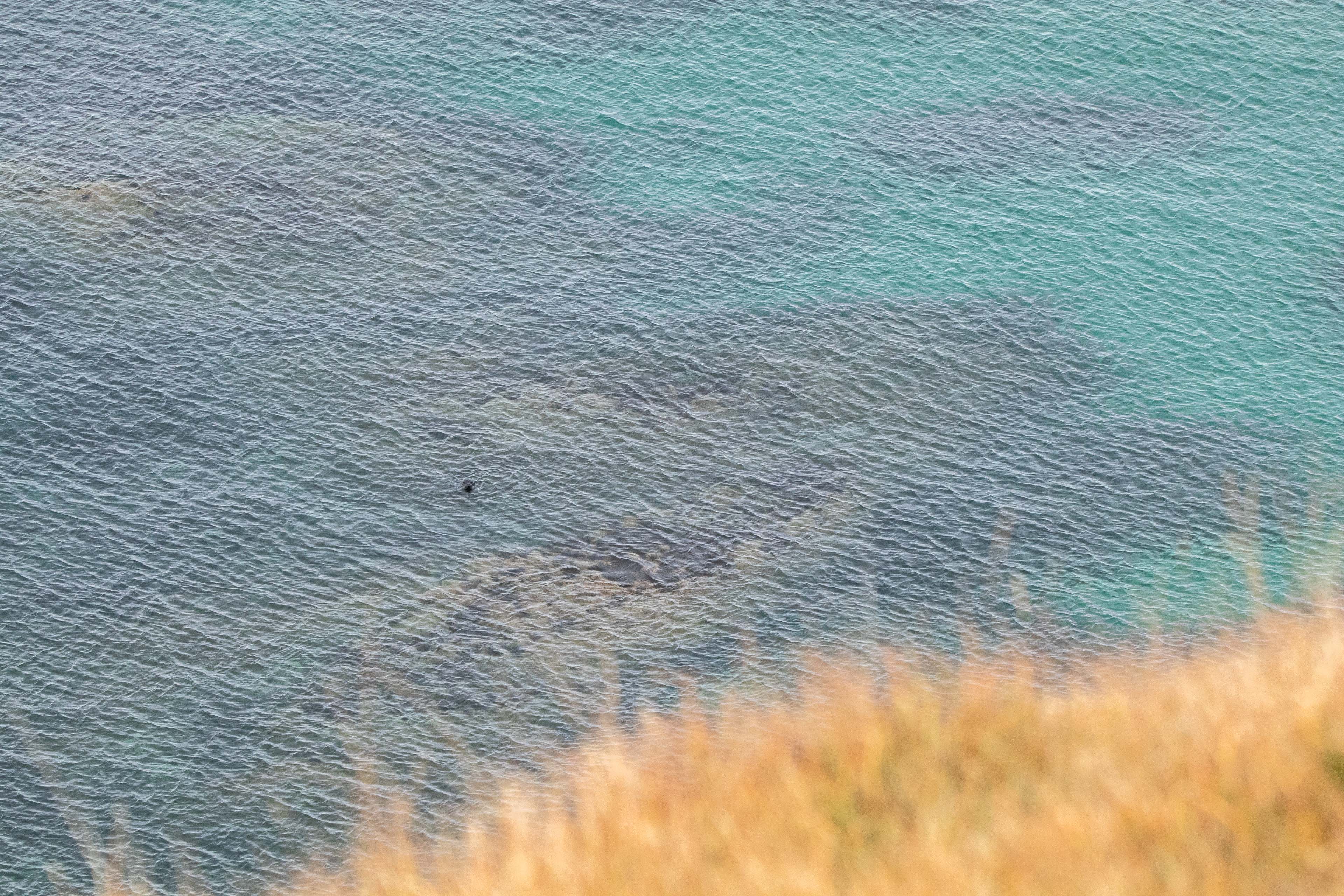
Its only around £10 for a return trip so you can visit Rum for a single day or many days! Either way it’s a worthwhile trip across with the potential to see marine wildlife such as Dolphins and Whales and sea birds such as Gannets.
For visiting tourists like myself the only option is arriving by foot. No cars allowed unless one of the few residents who live on the island. This makes Rum an ideal destination to escape the modern world and quickly become surrounded by some of the finest rural wilderness and nature Scotland has to offer.
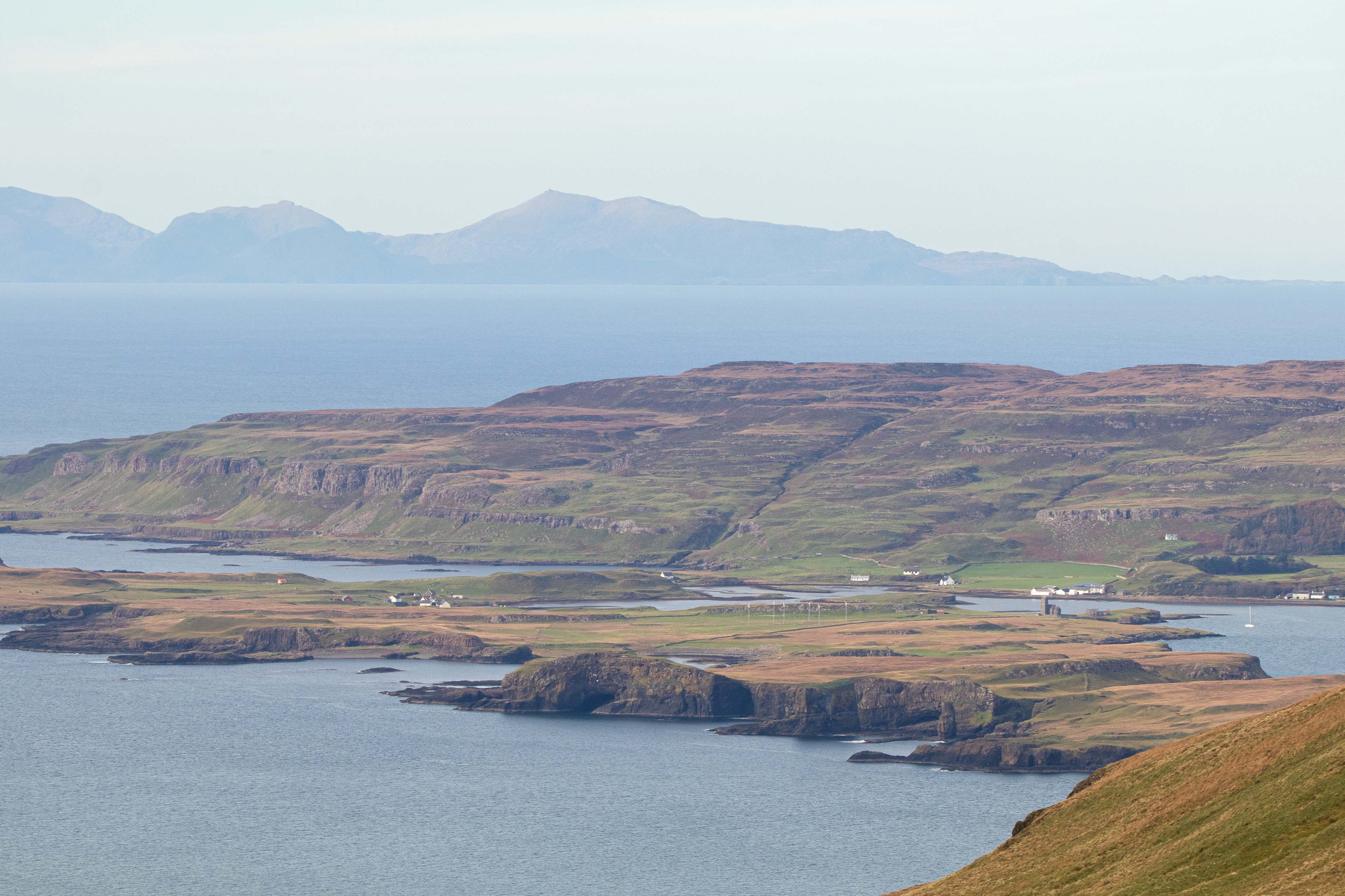
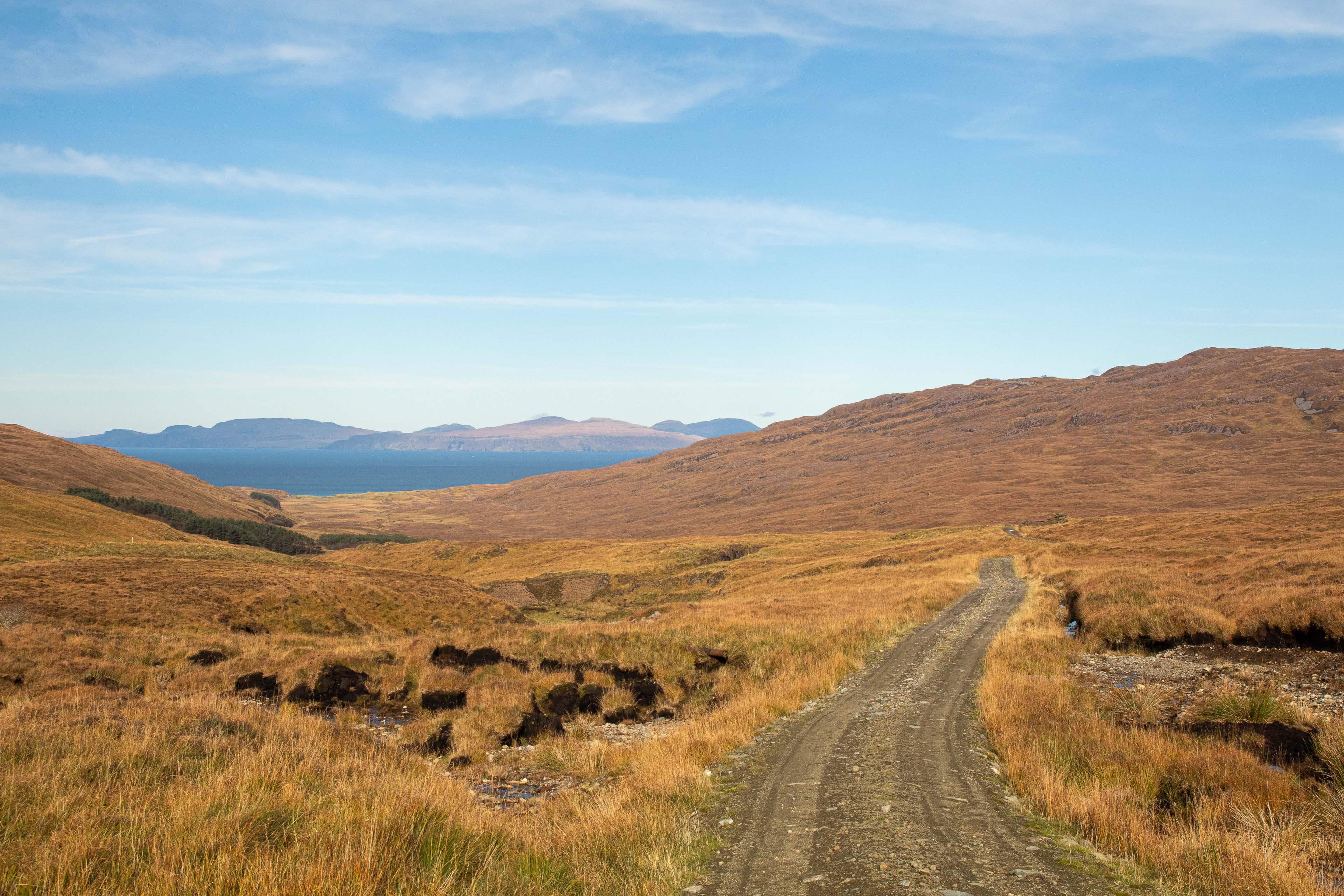
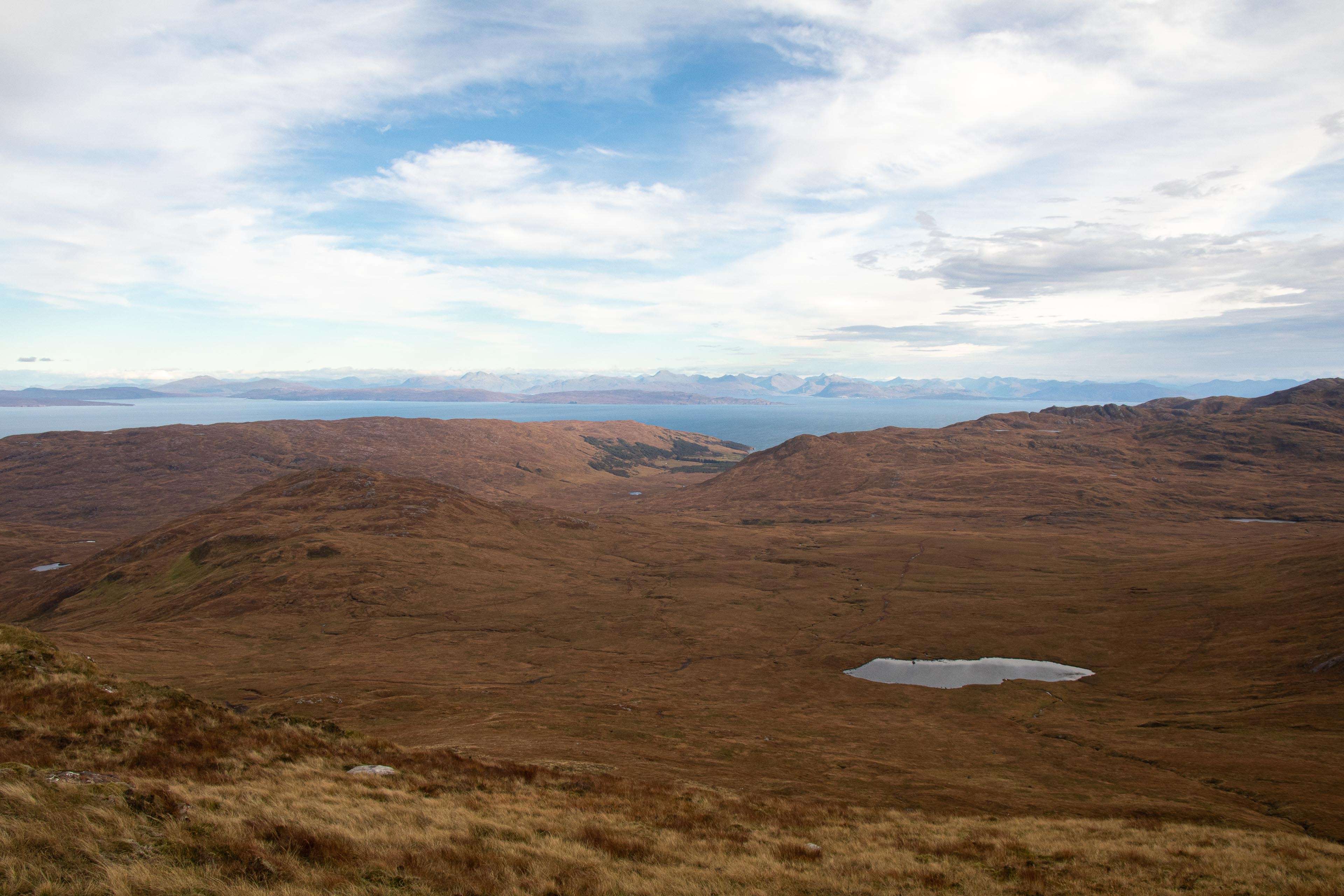
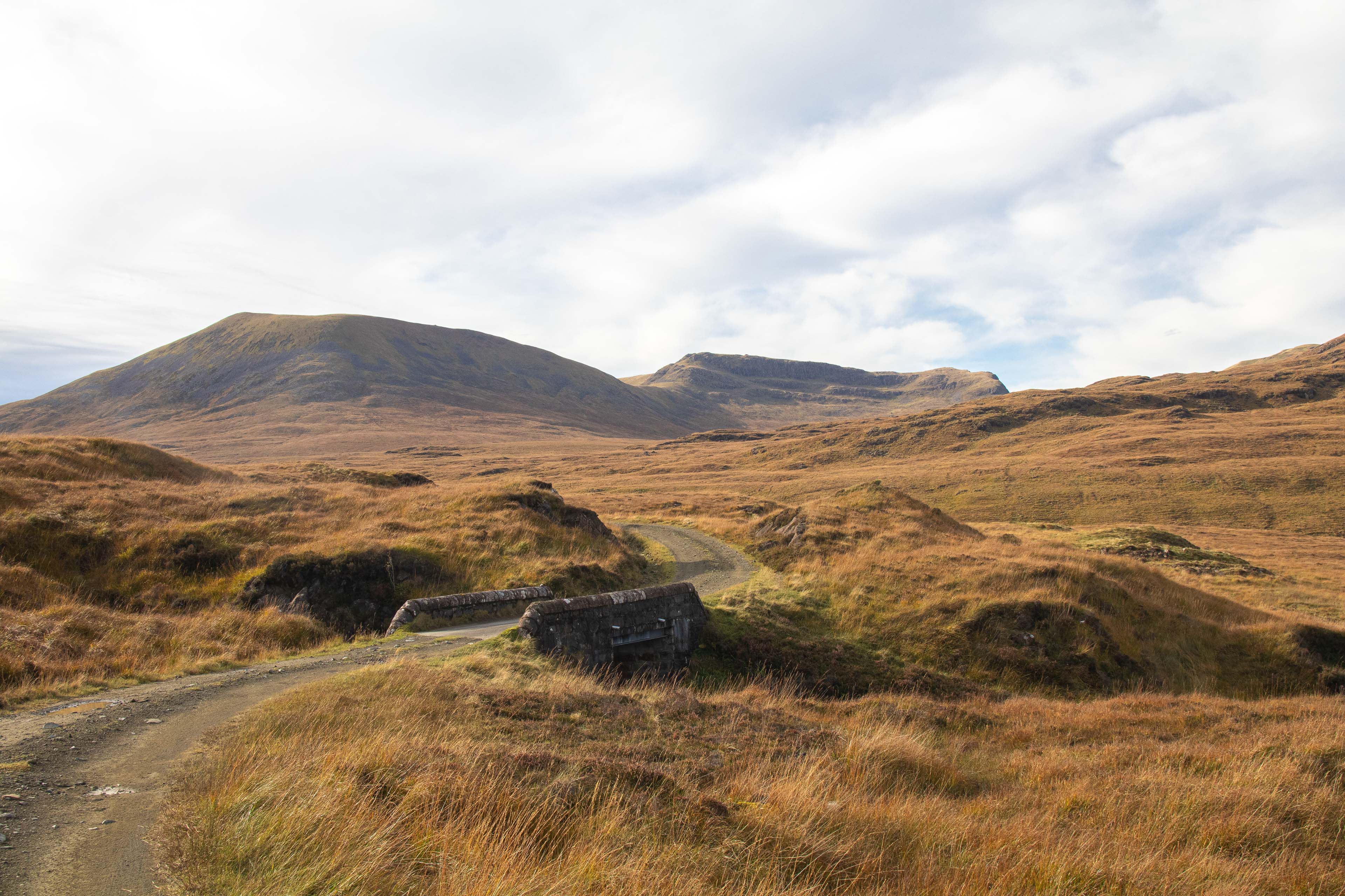
Having rolled off the ferry in the little village of Kinloch at just past 12pm I had round 6 hours of light to get a good first day hike in. I decided I would just have just enough time for the circular route heading straight into the wilds of Rum and onto the northern hills around Orval and then down to Harris where I would pick up long path back to Kinloch which serves this western point.
Its 16 miles altogether so a long day out with half being off path so be prepared for some wild, sometimes boggy walking.
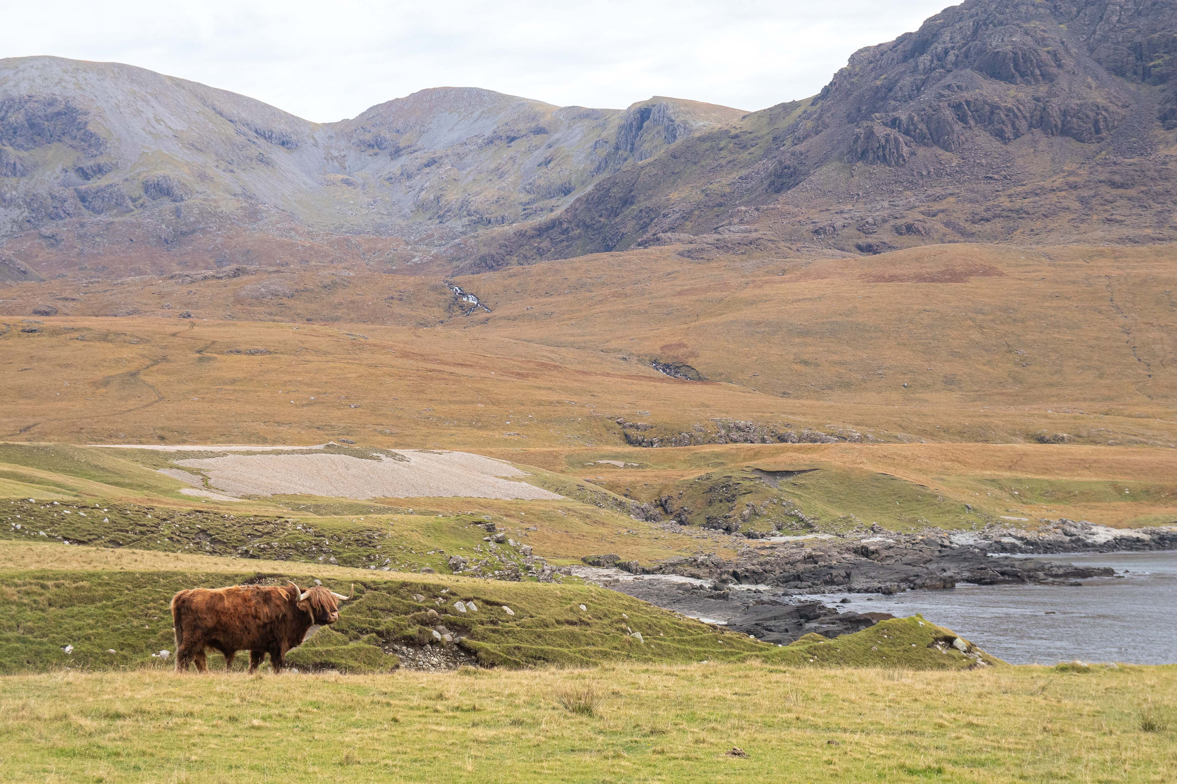
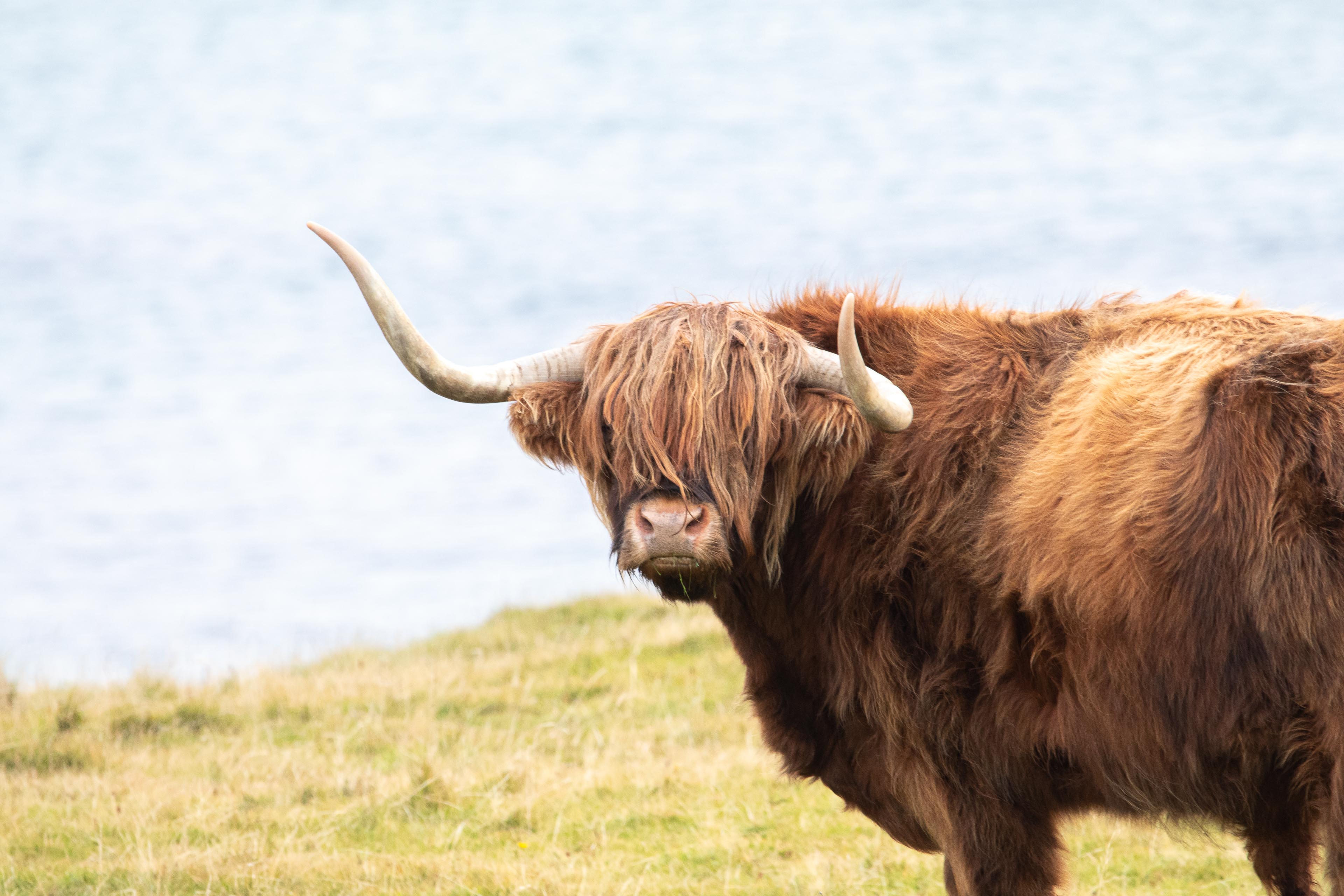
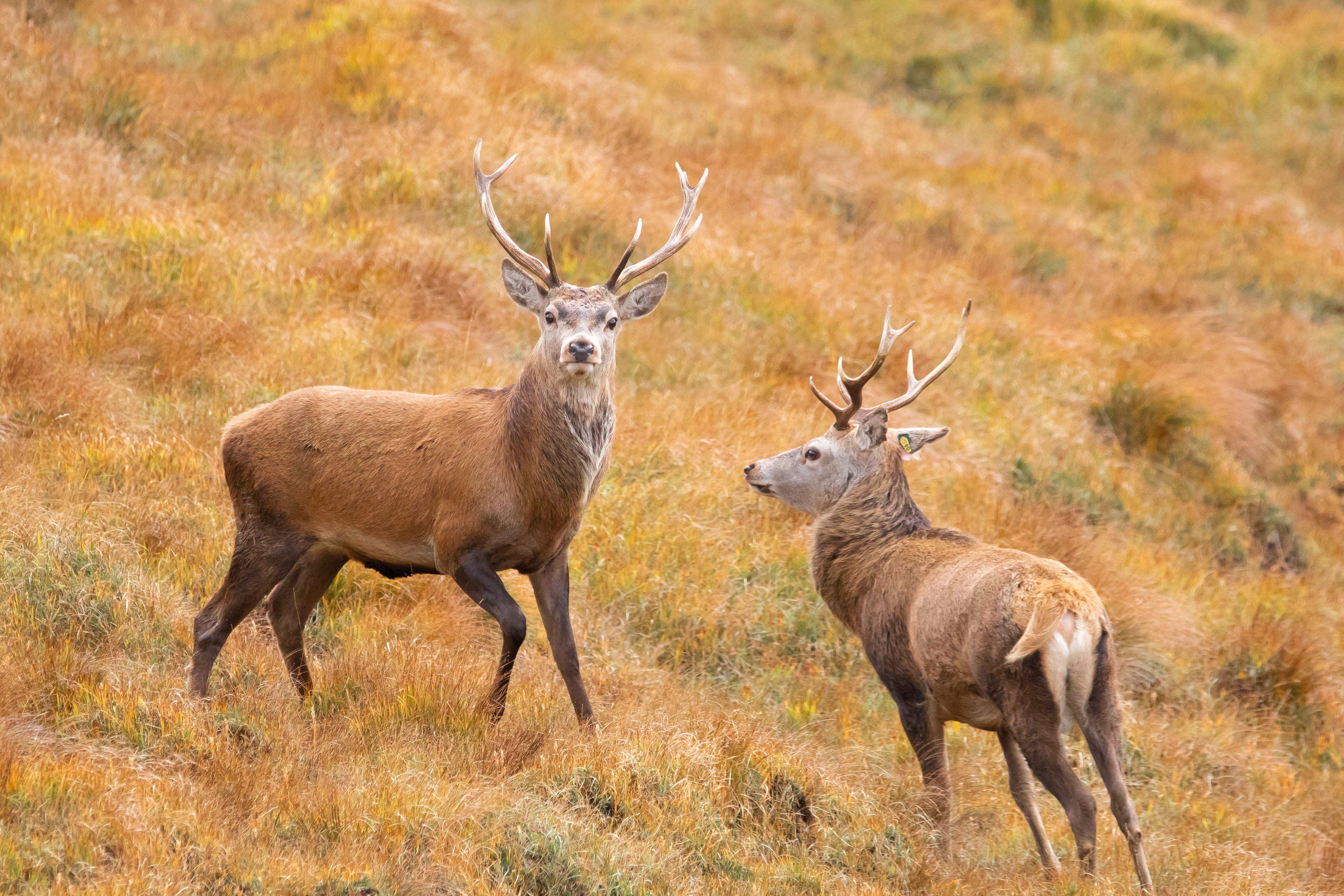
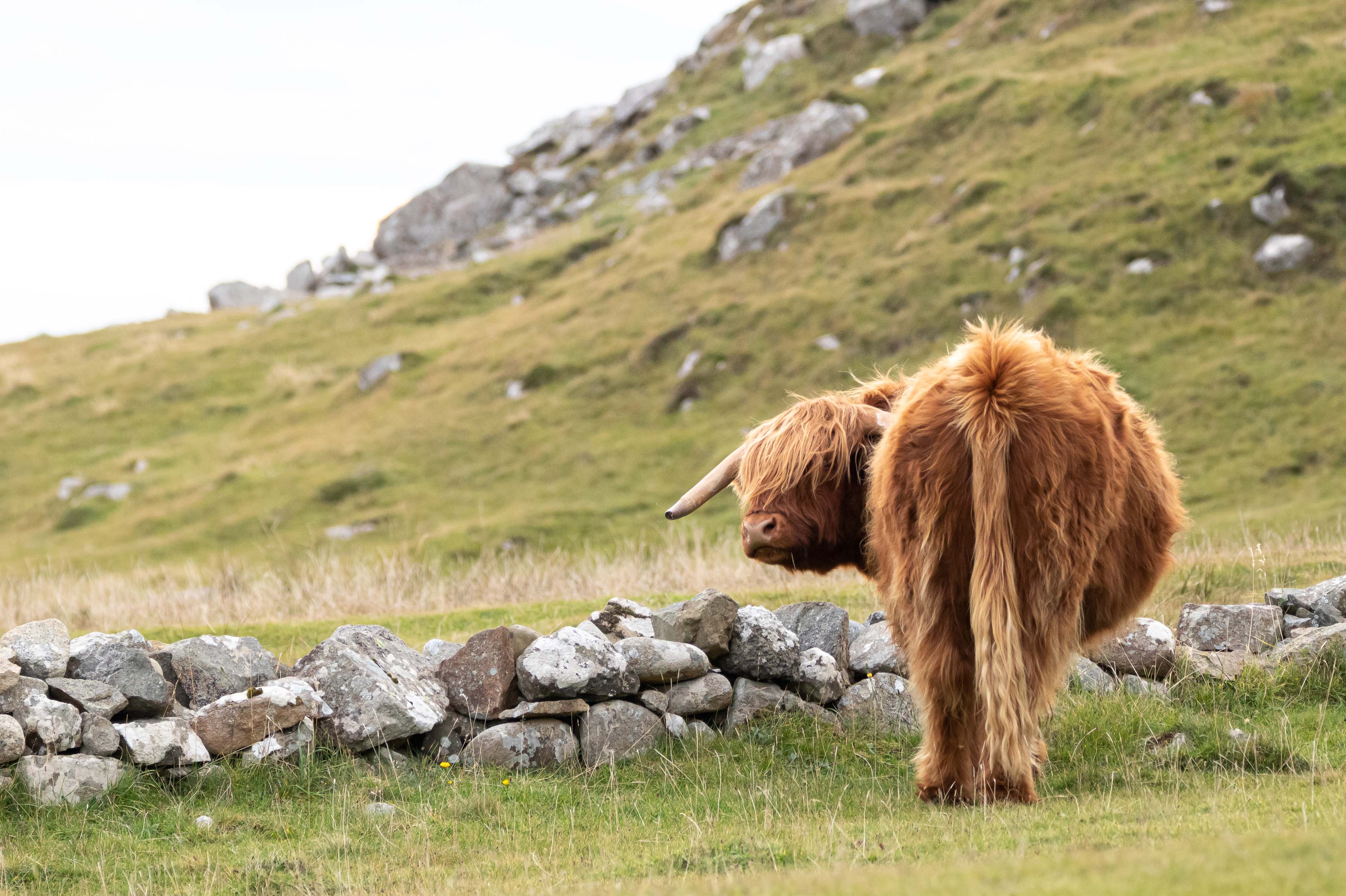
The path out of Kinloch is super easy to follow as there are very few paths on Rum. Once you pass through the short area of woods you are immediately into the wild open moorland of Rum. For 3 miles from Kinloch you follow the path steadily uphill until you reach a second stone bridge at which point you divert of the path and go cross country up into the hills to the north. This is the start of the mountain section of the hike. Its also the time I started seeing the many red deer that live on the island.
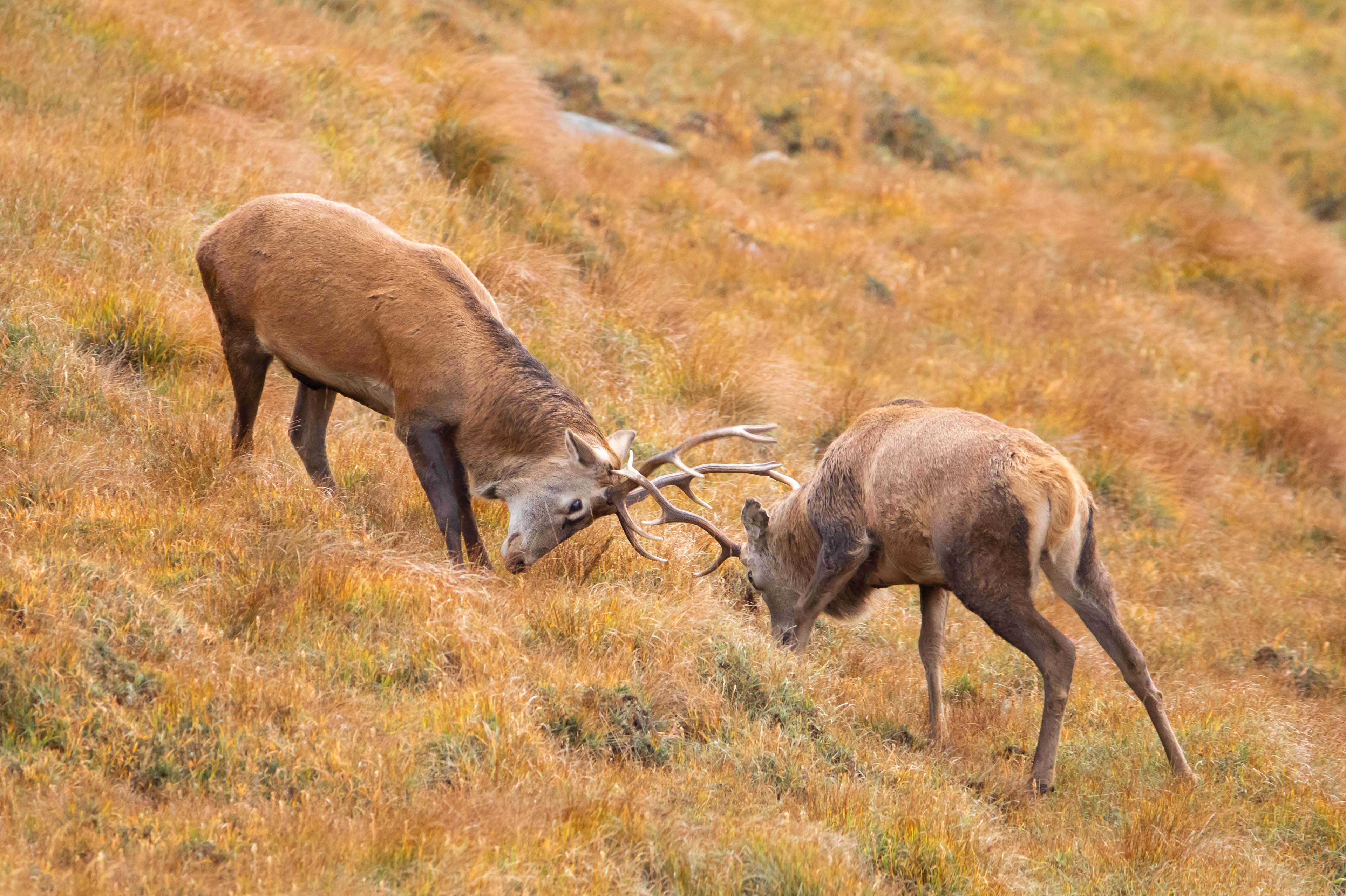
Having walked this in October, rutting and breeding season, you are greeted by quite a few signs warning about approaching male stags. They have no fear of attacking you if you get too close! I was very wary of this and found it to be very true as they will occasionally not move and bark if you get too close! (even at a fair distance) Although if you’re lucky you might witness some stags locked in battle like had the privilege to see. The whole island is actually a research project for Red deer. See link below giving more information:
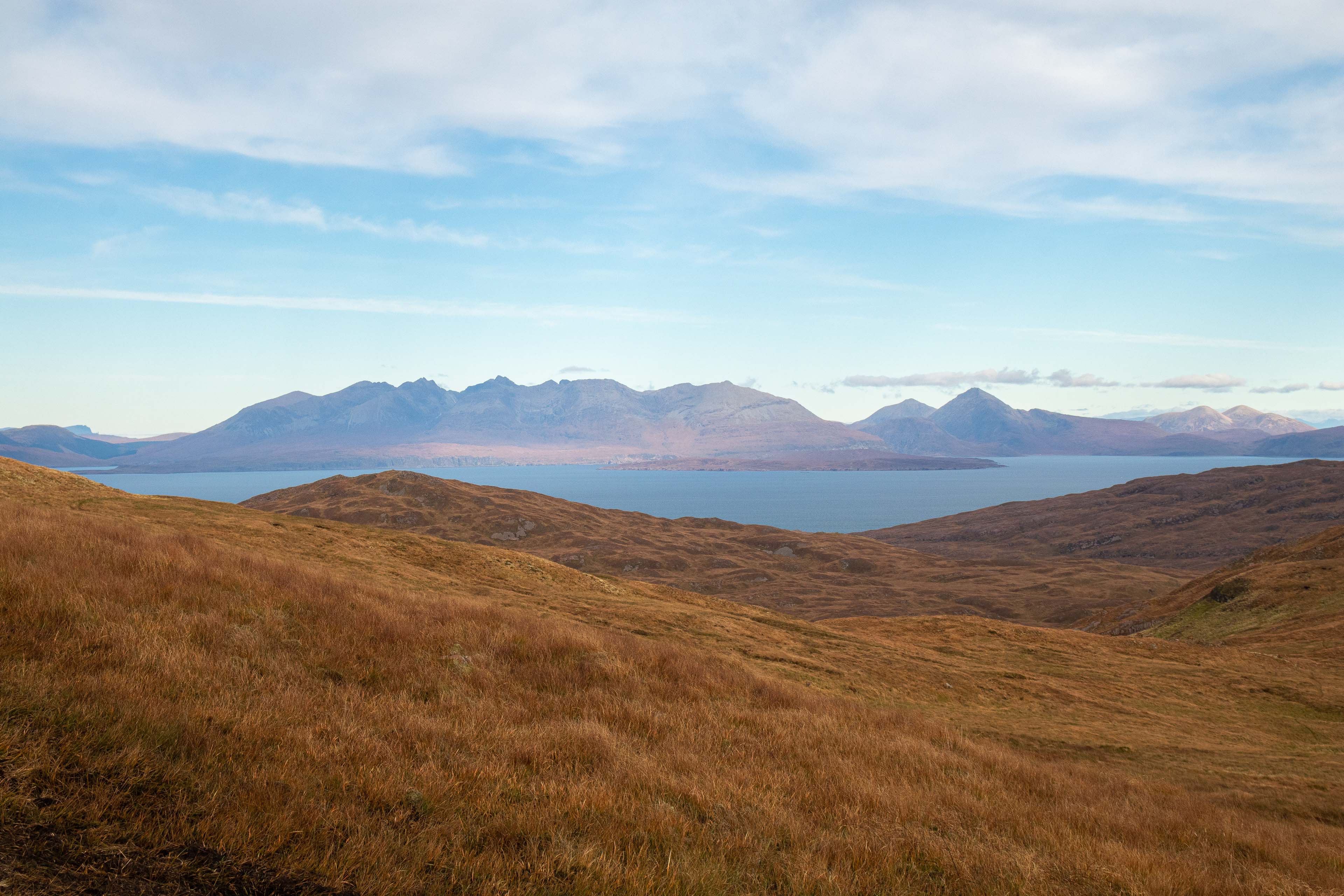
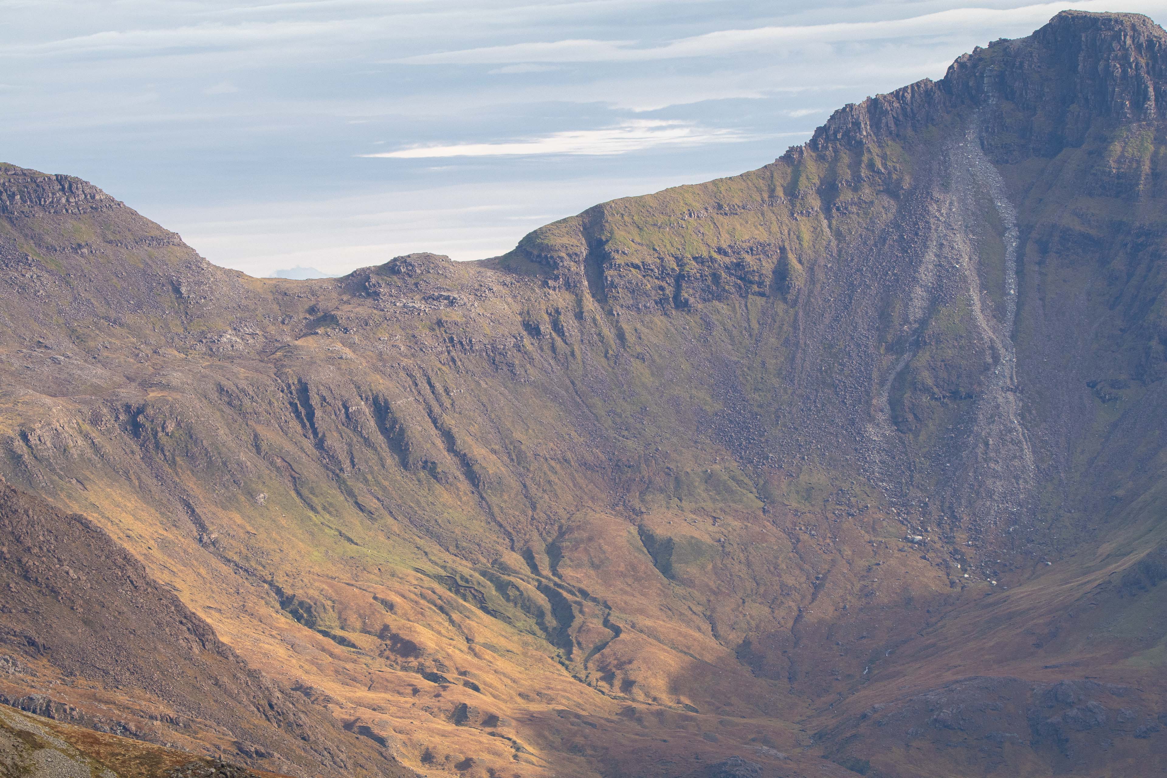
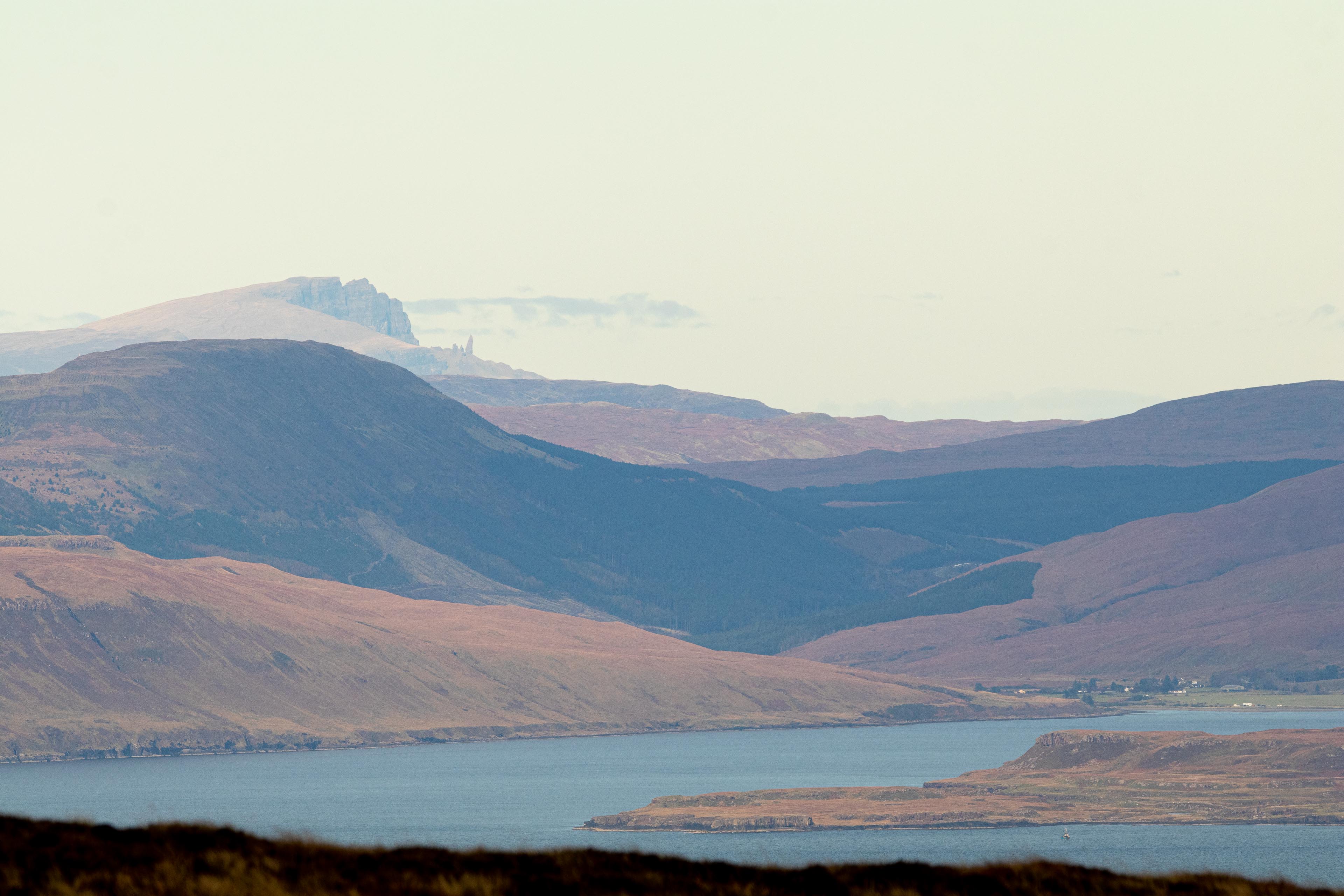
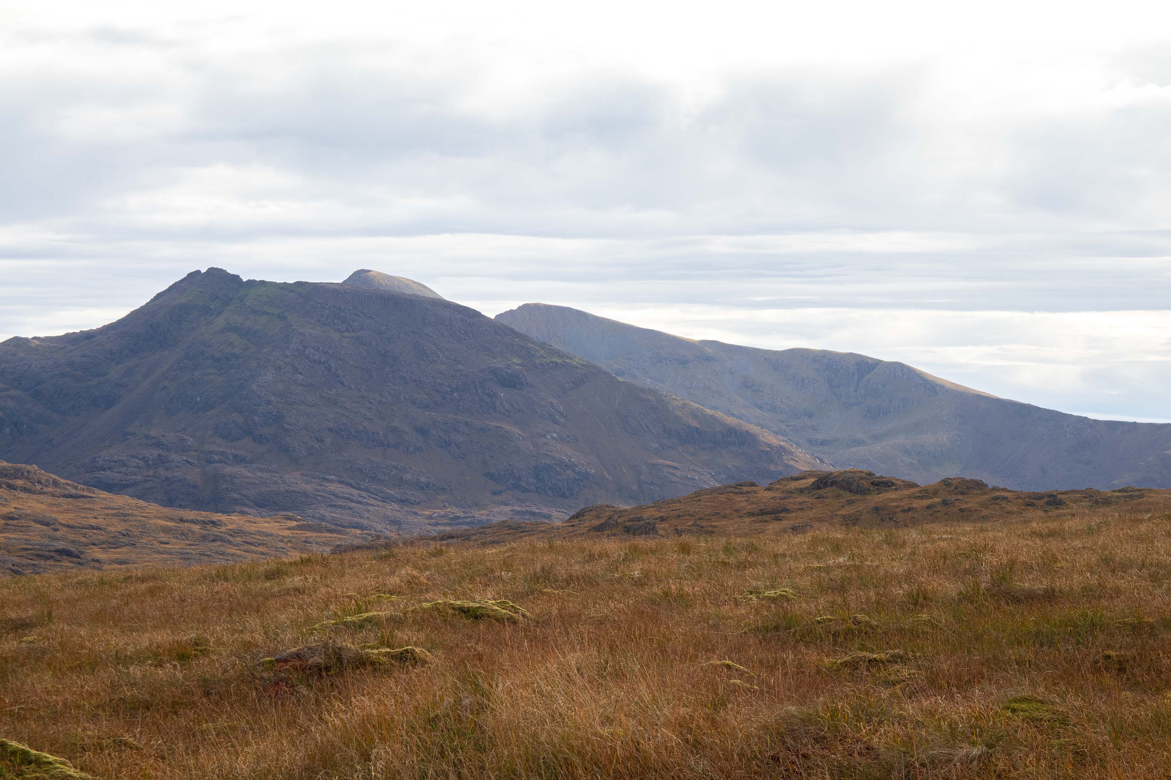
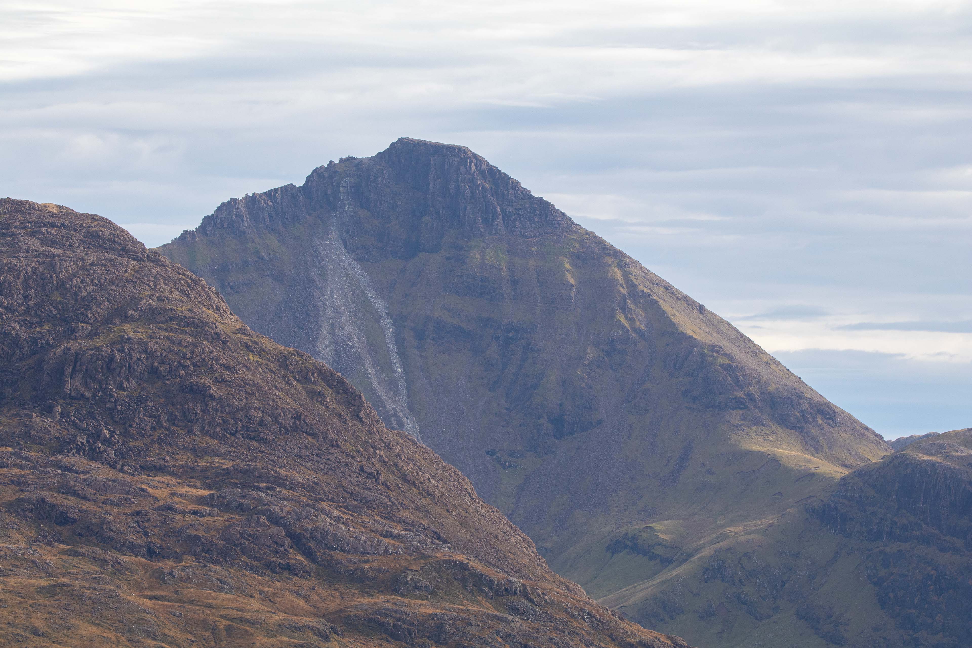
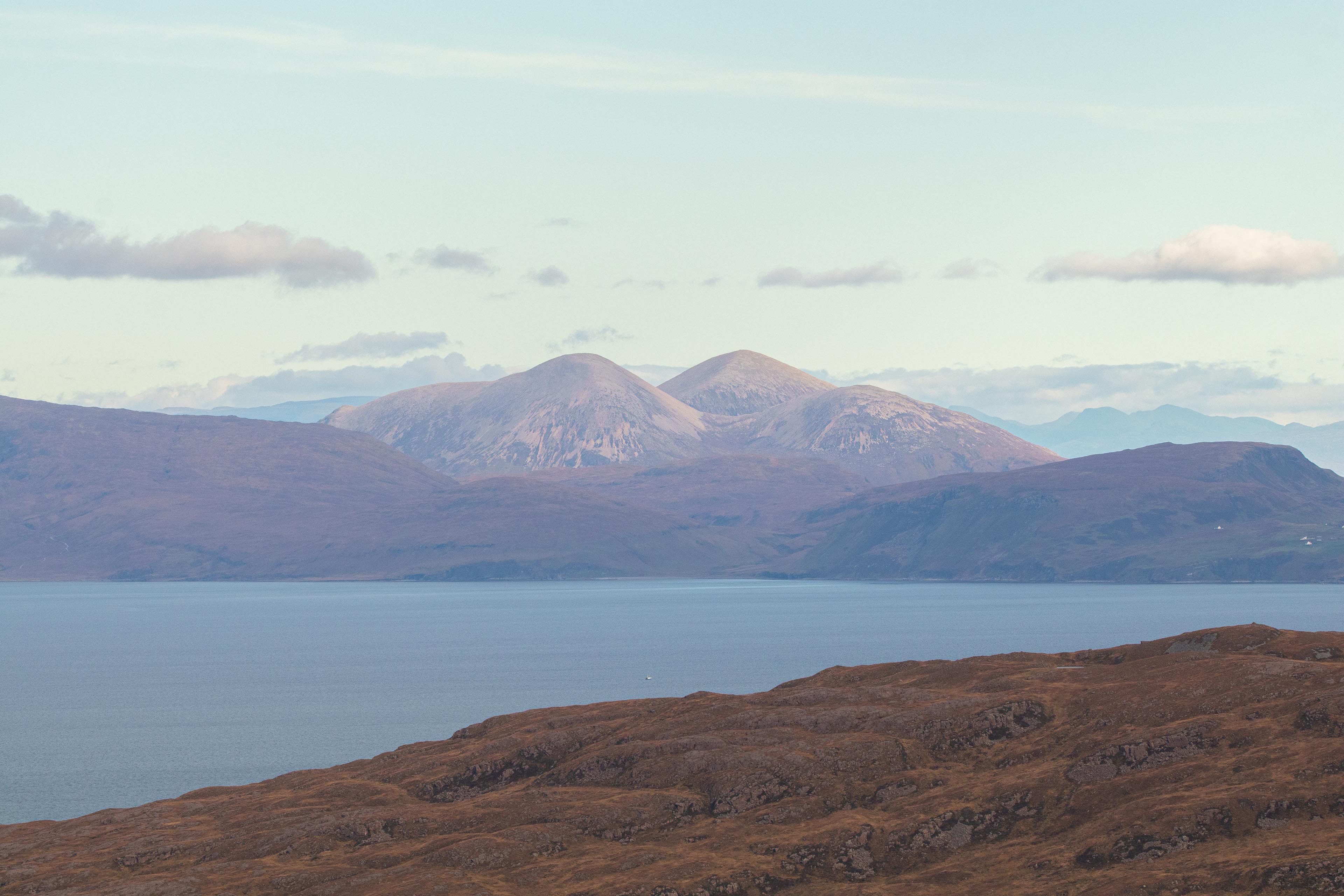
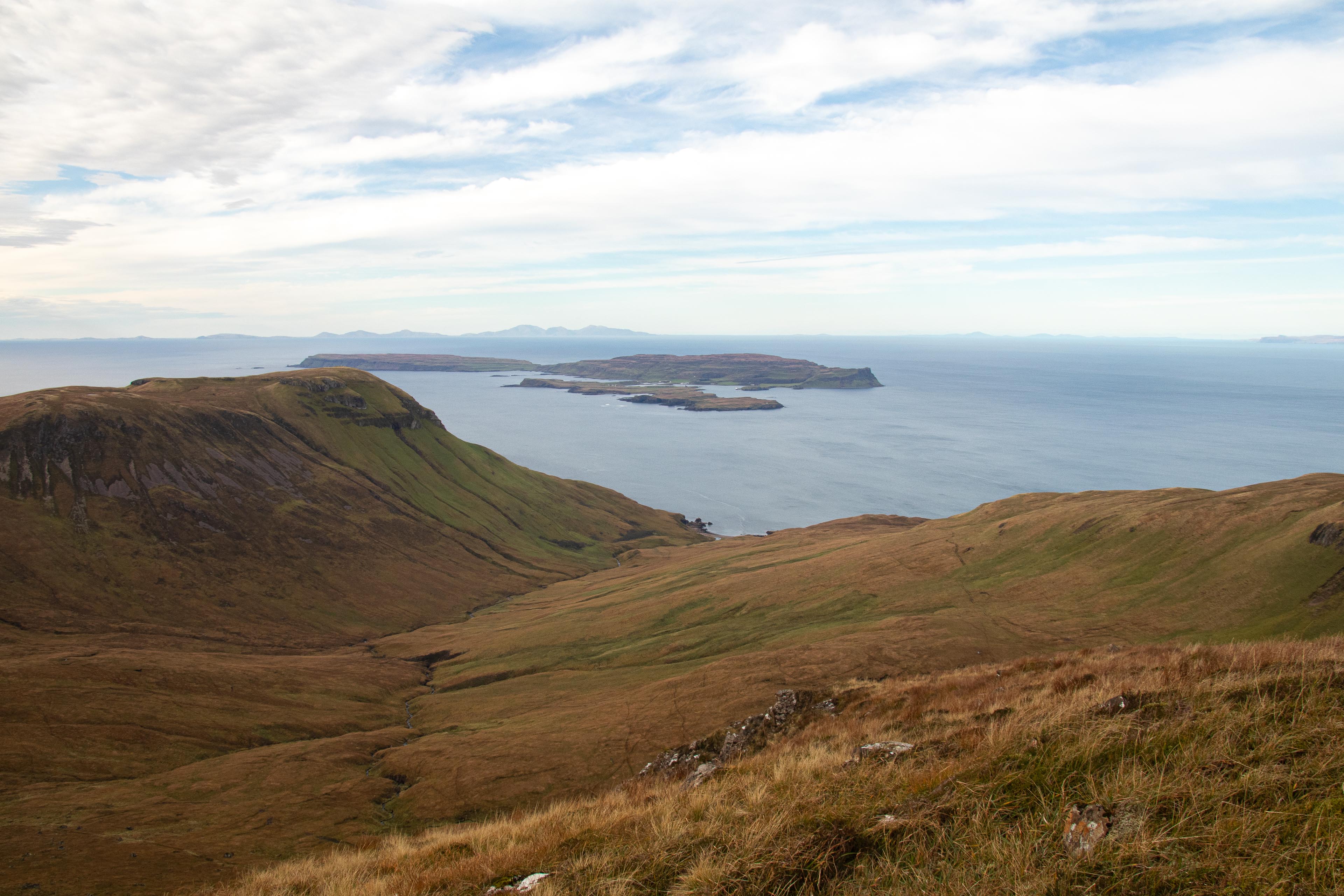
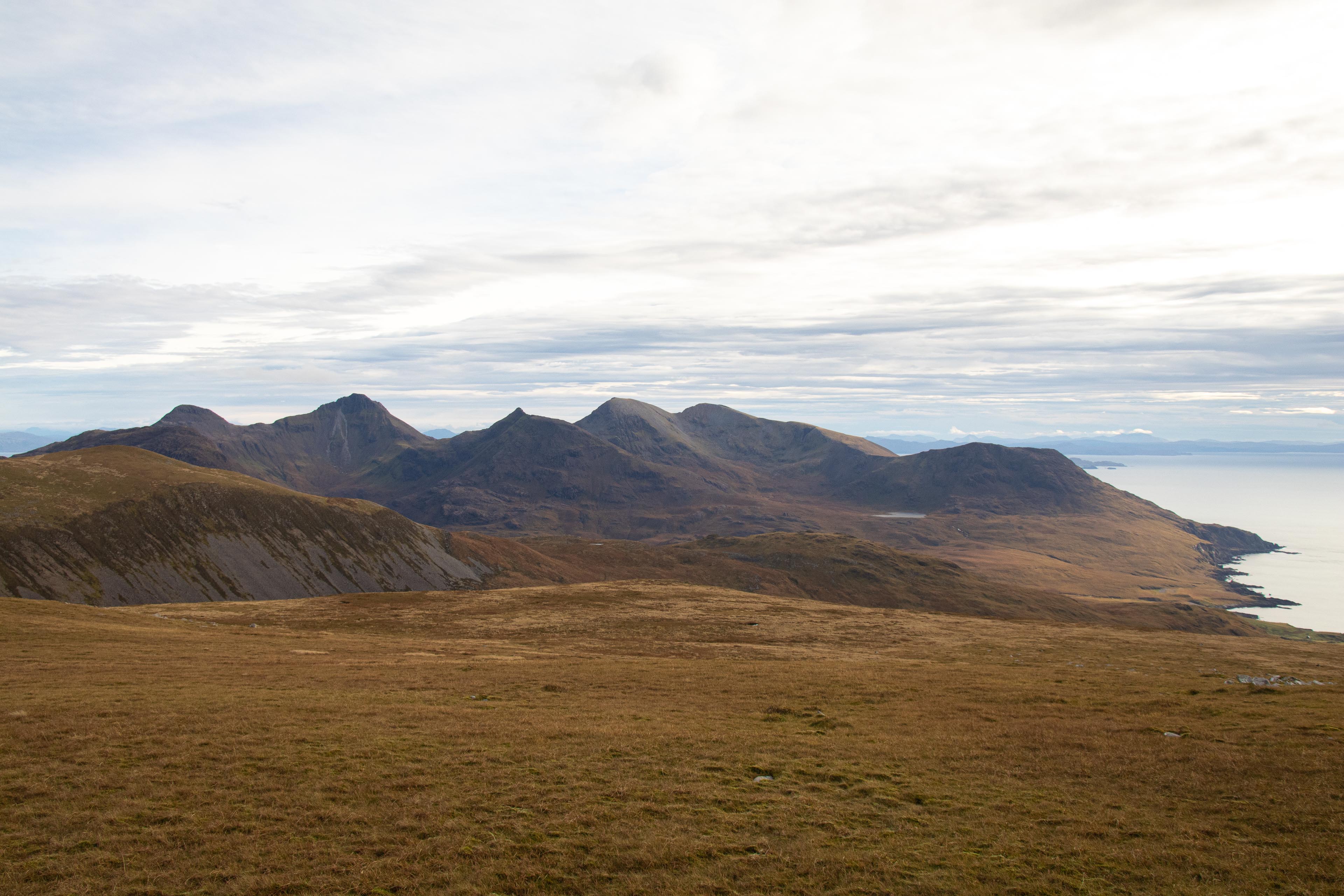
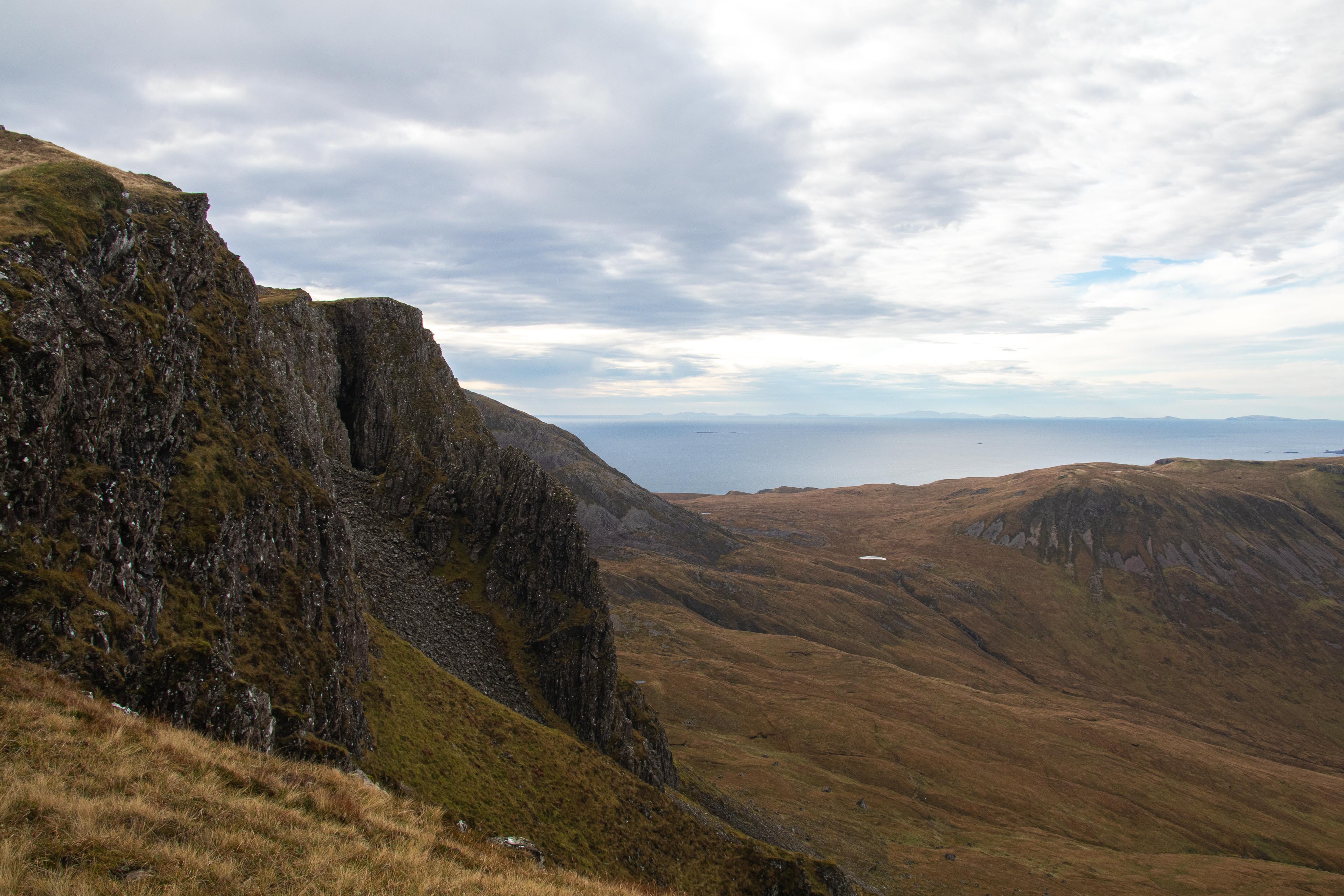
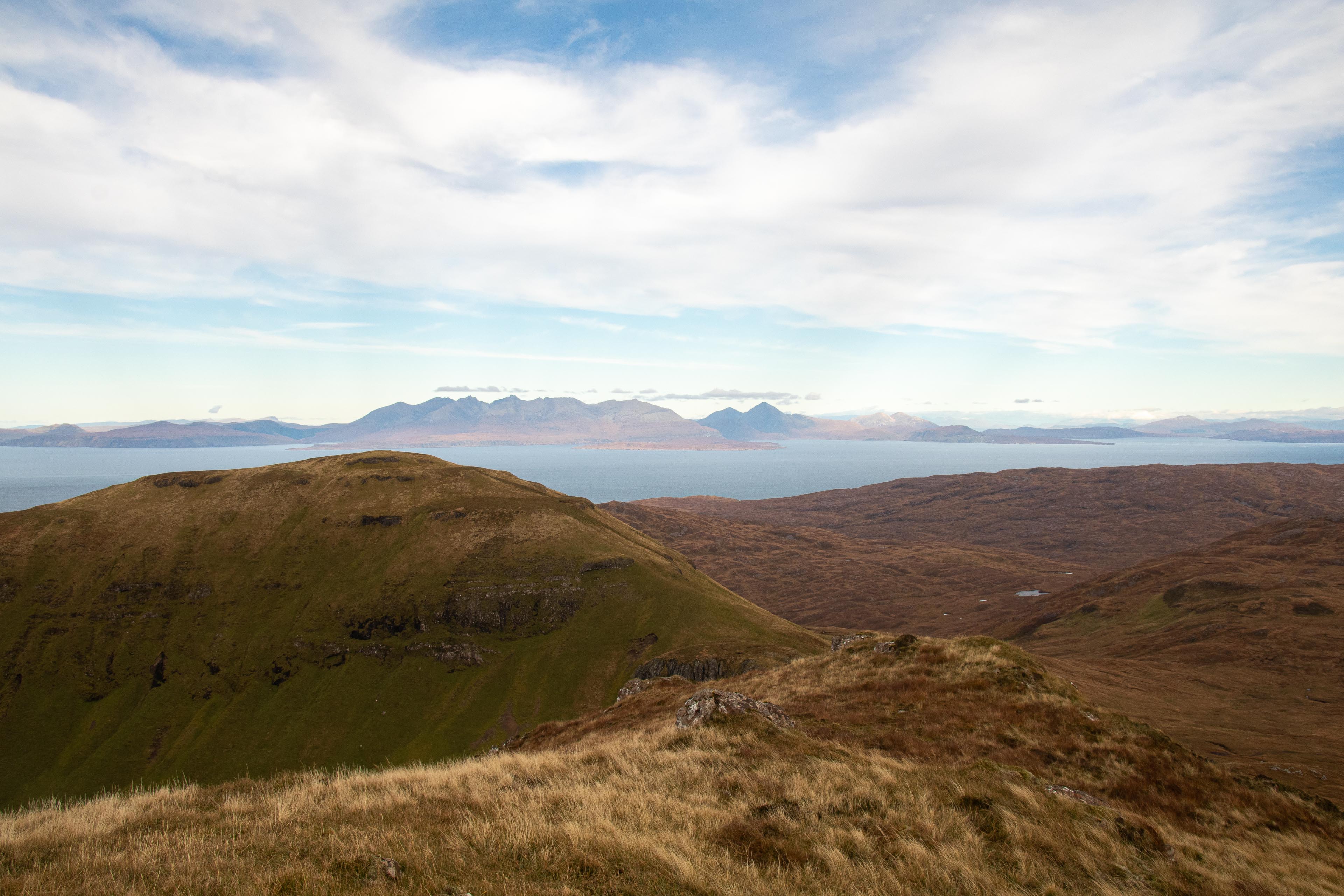
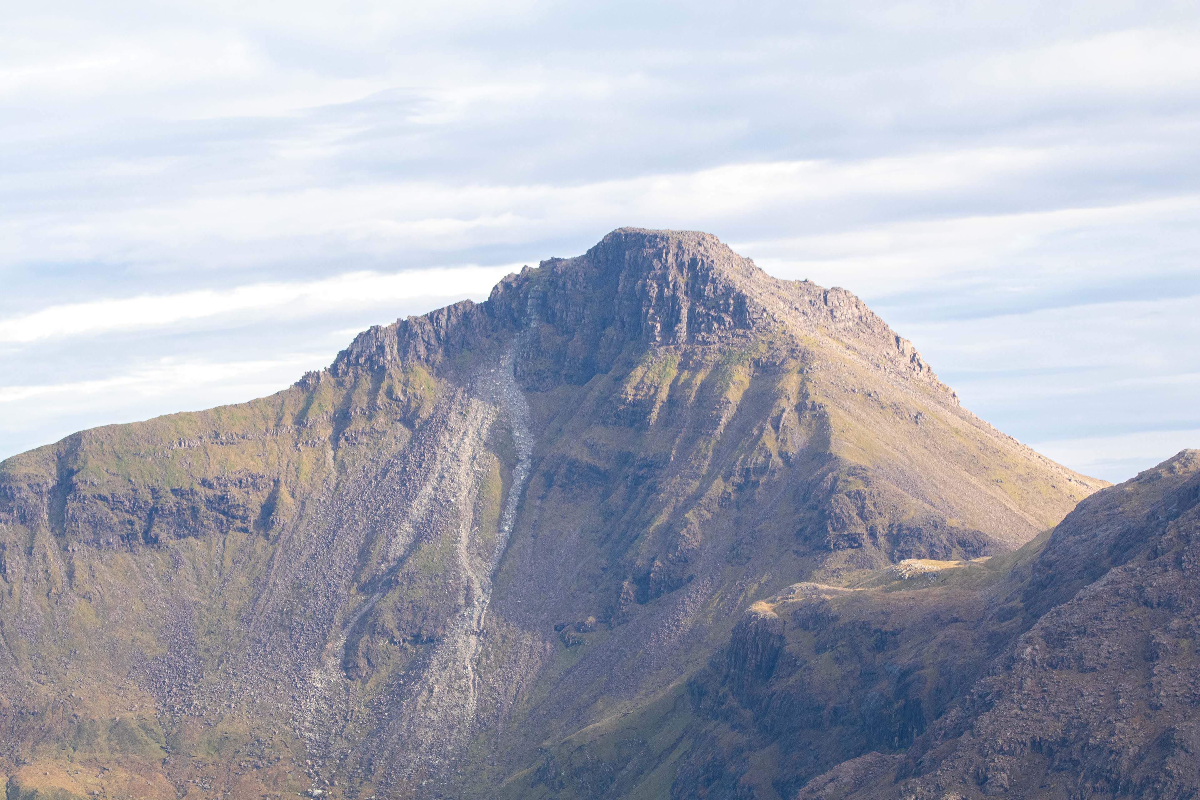
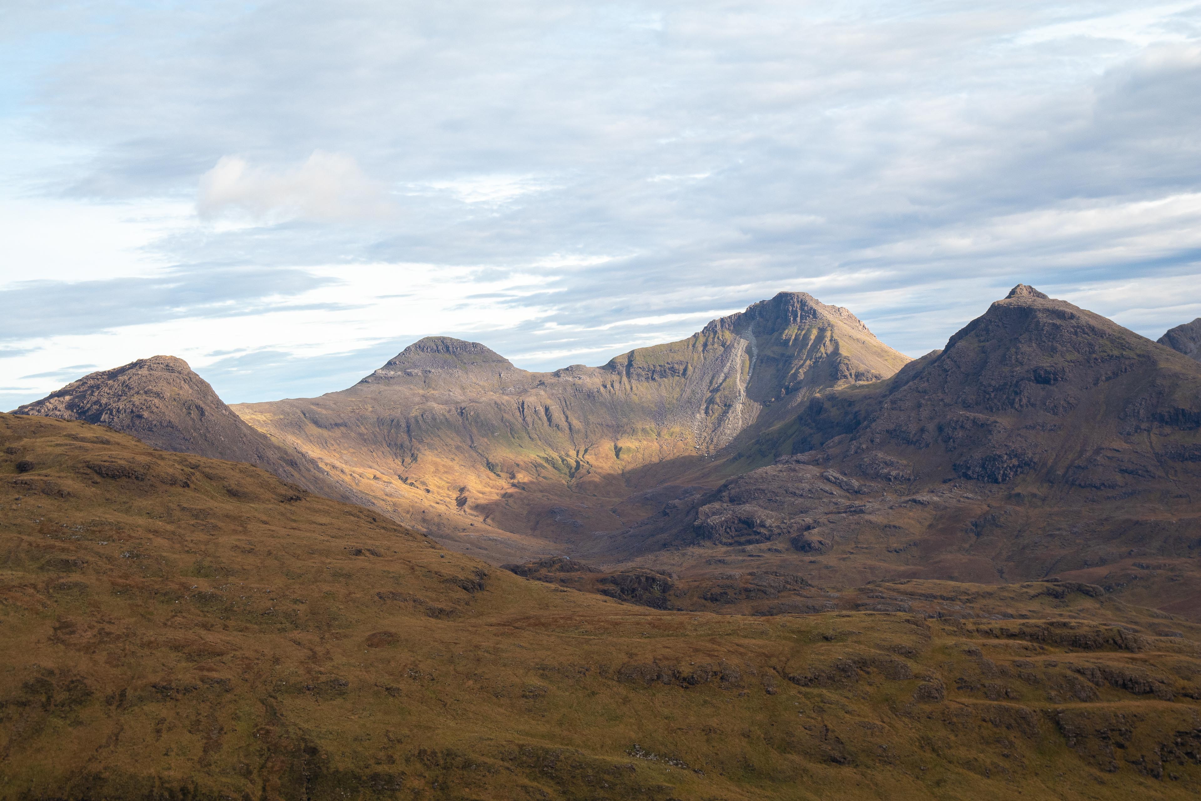
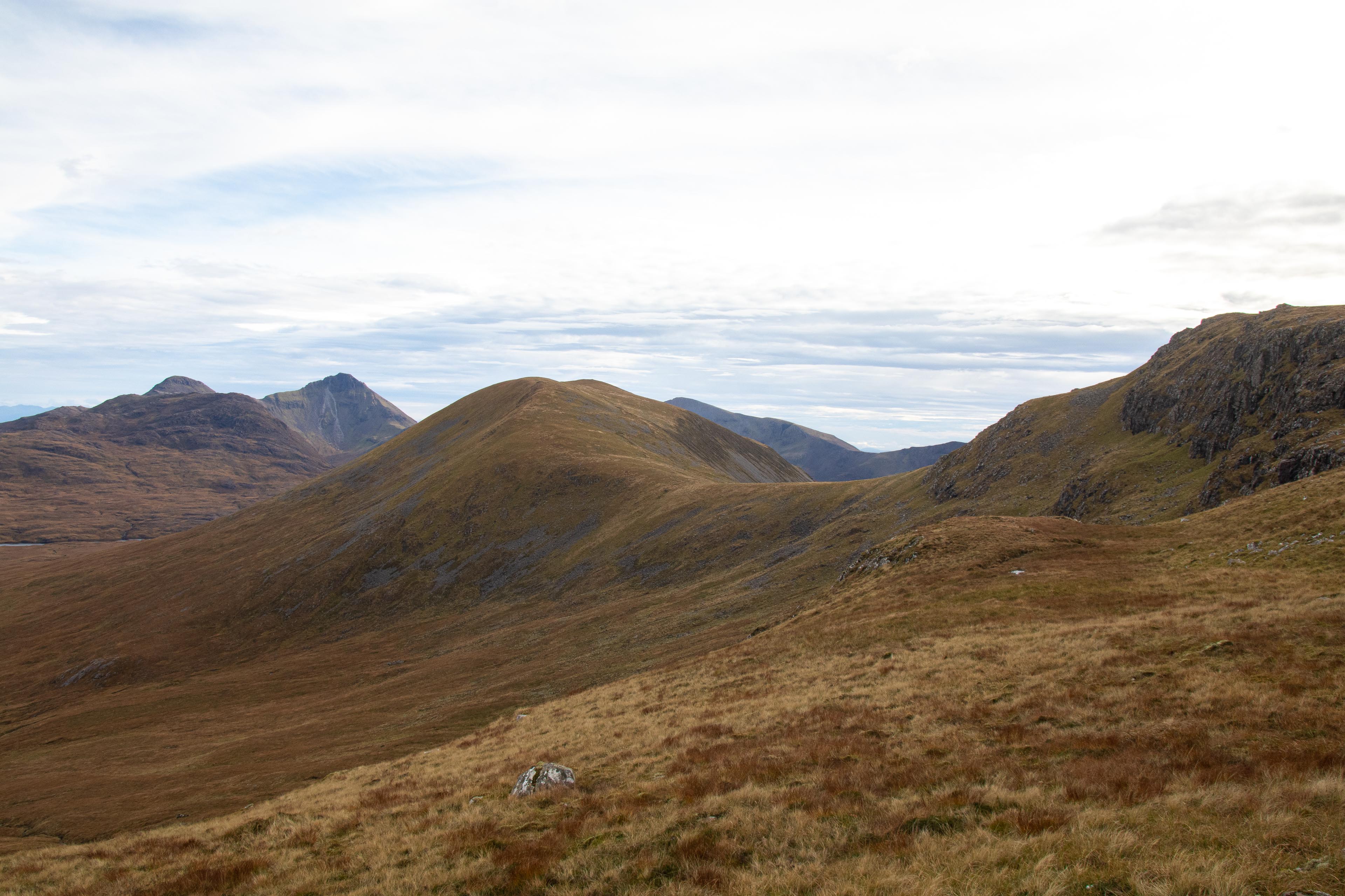
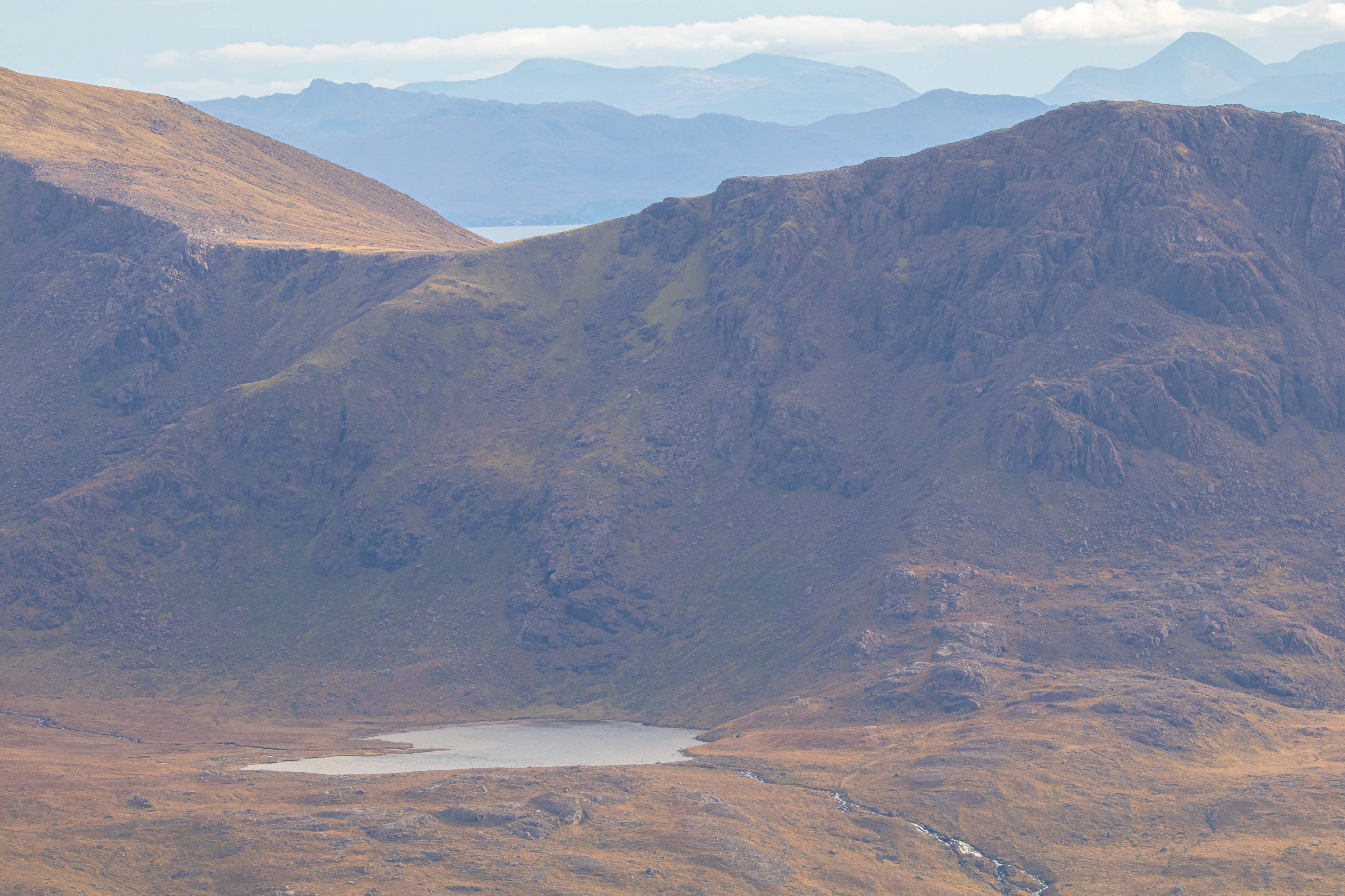
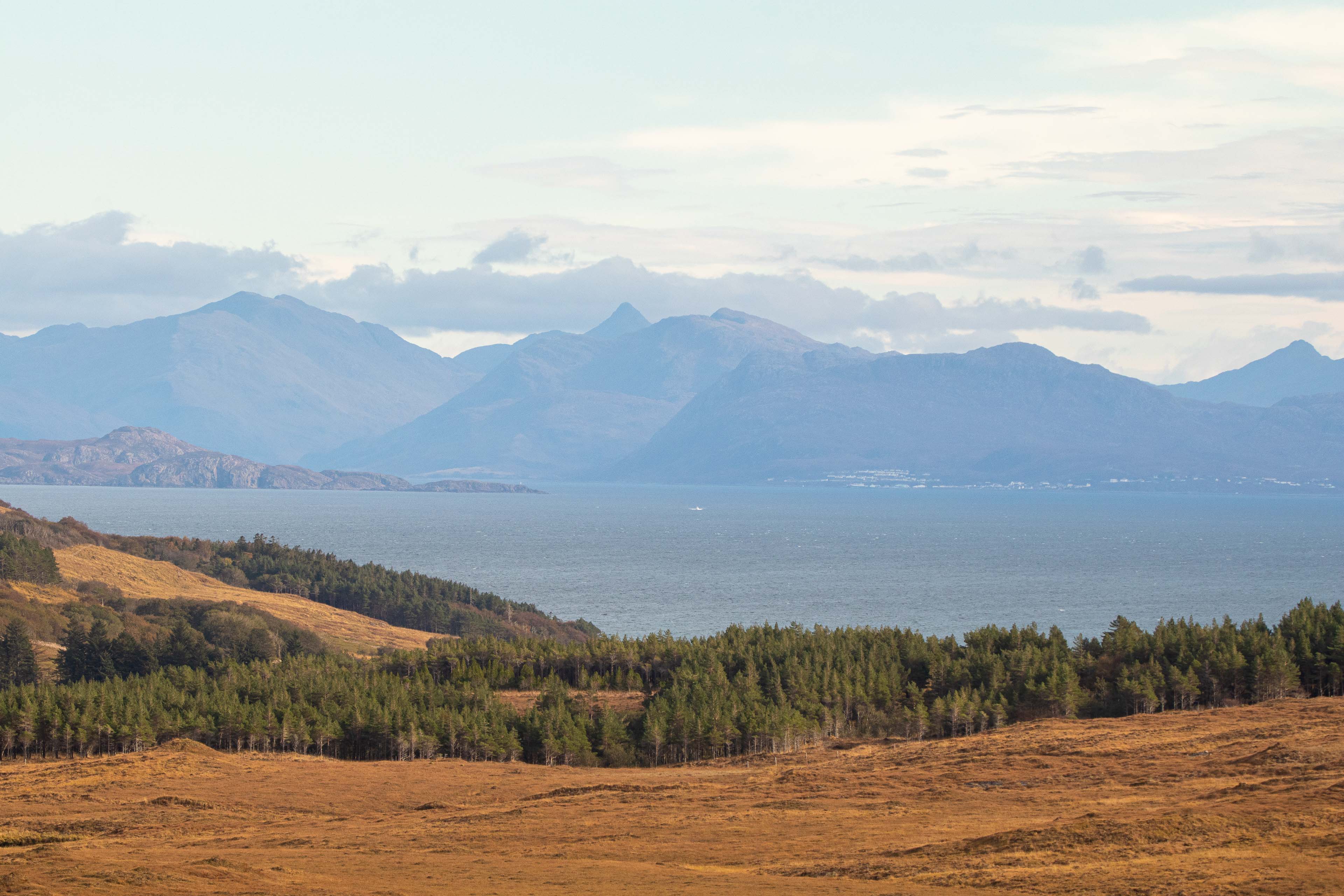
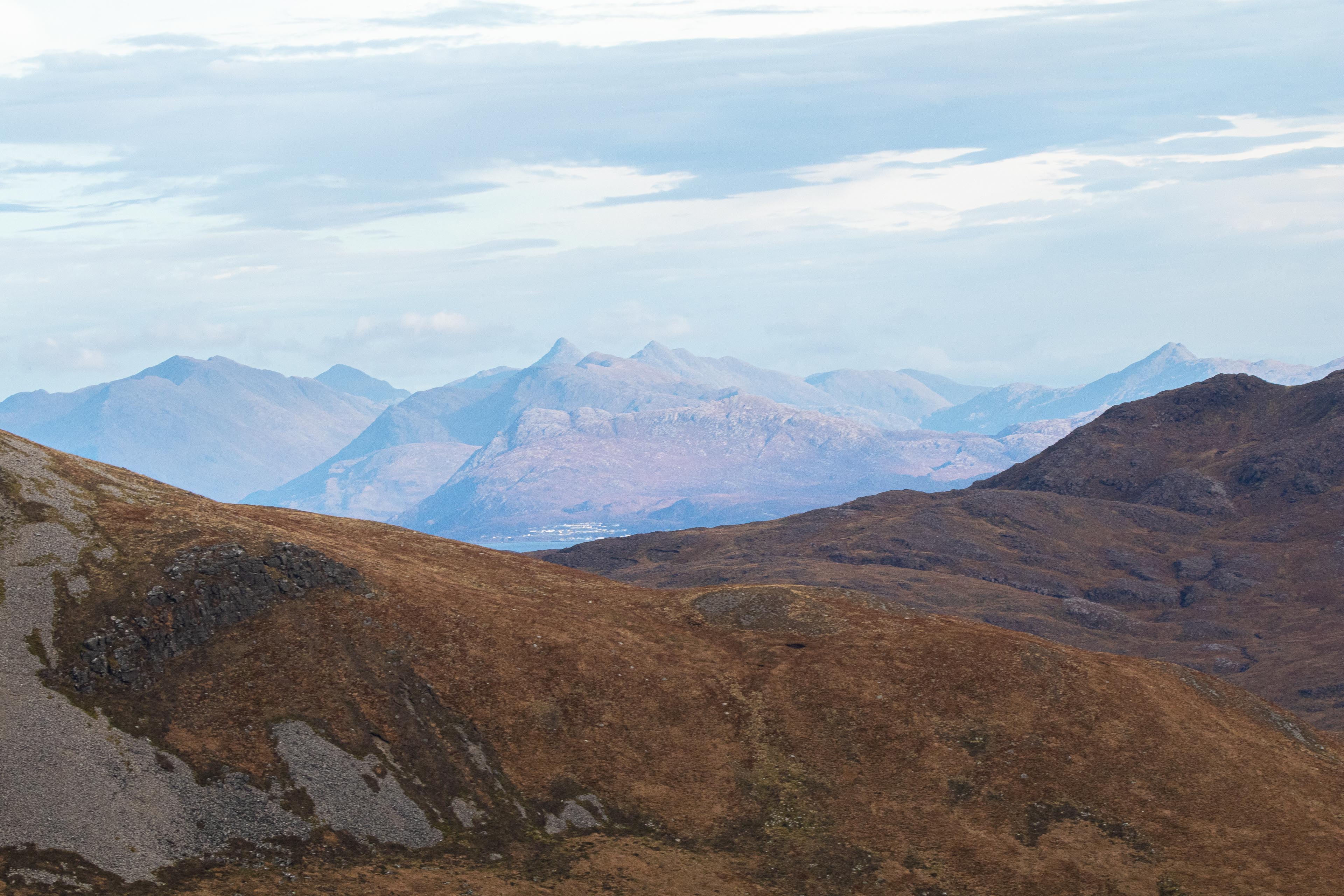
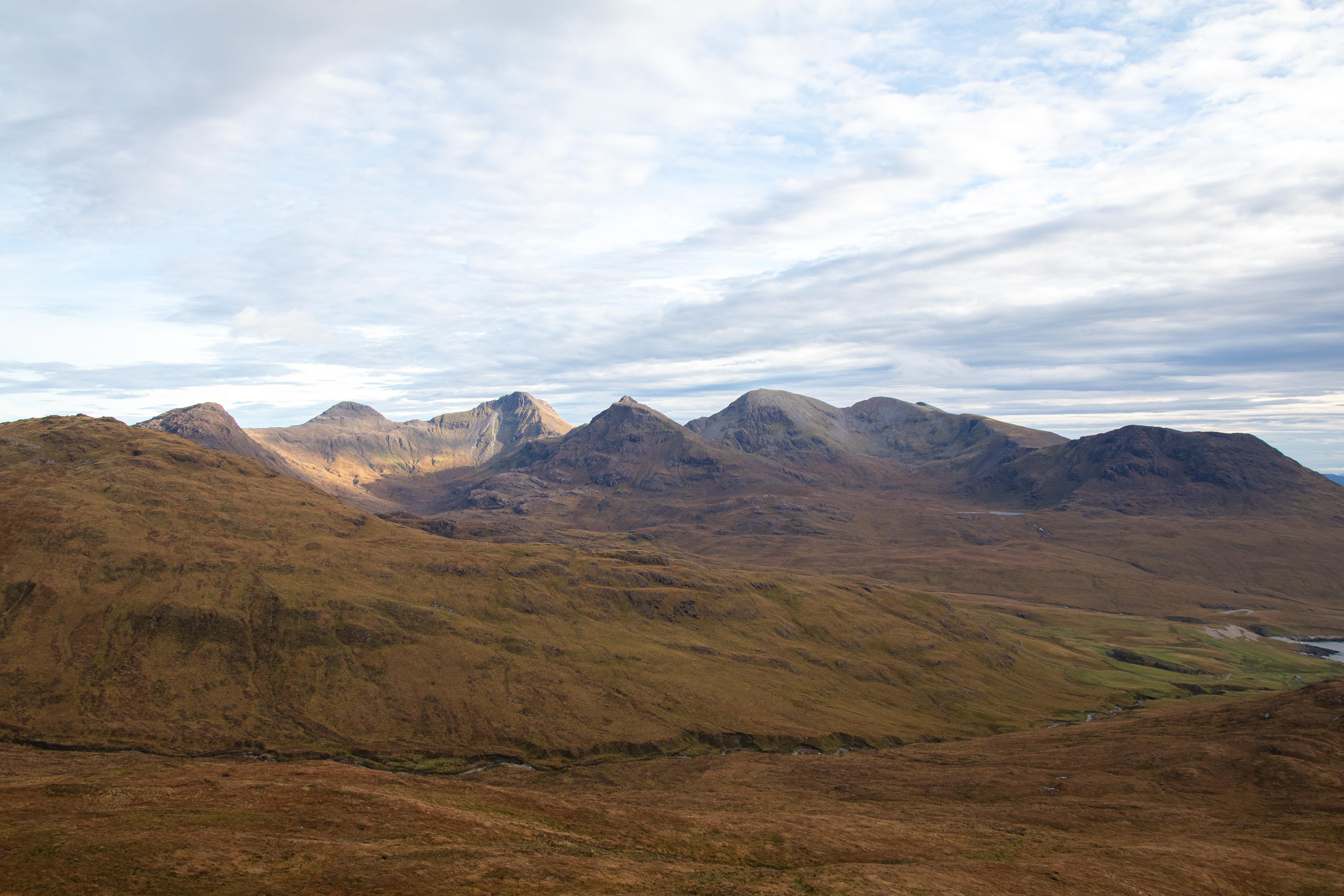
Once you reach the top of Orval standing at 571m you have superb views of the entire island. To the south east you can see the mountains of the Rum Cuillins dominated by the rather impressive looking Askival (812m) and Ainshval. (781m) To the west views down to the bay of Guirdil (and its isolated bothy) and across the sea northwards to the dominant Black Cuillin mountains on the Isle of Skye. I could even see the Old Man of Storr quite clearly over 35miles away.
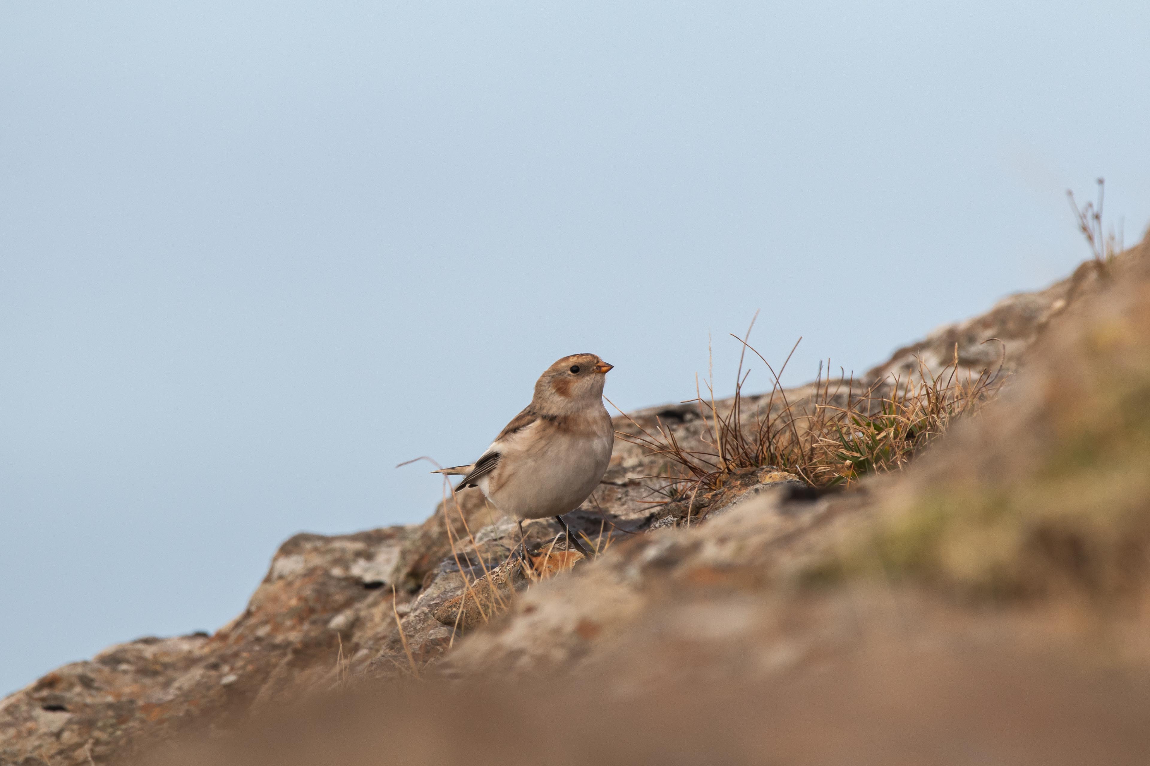
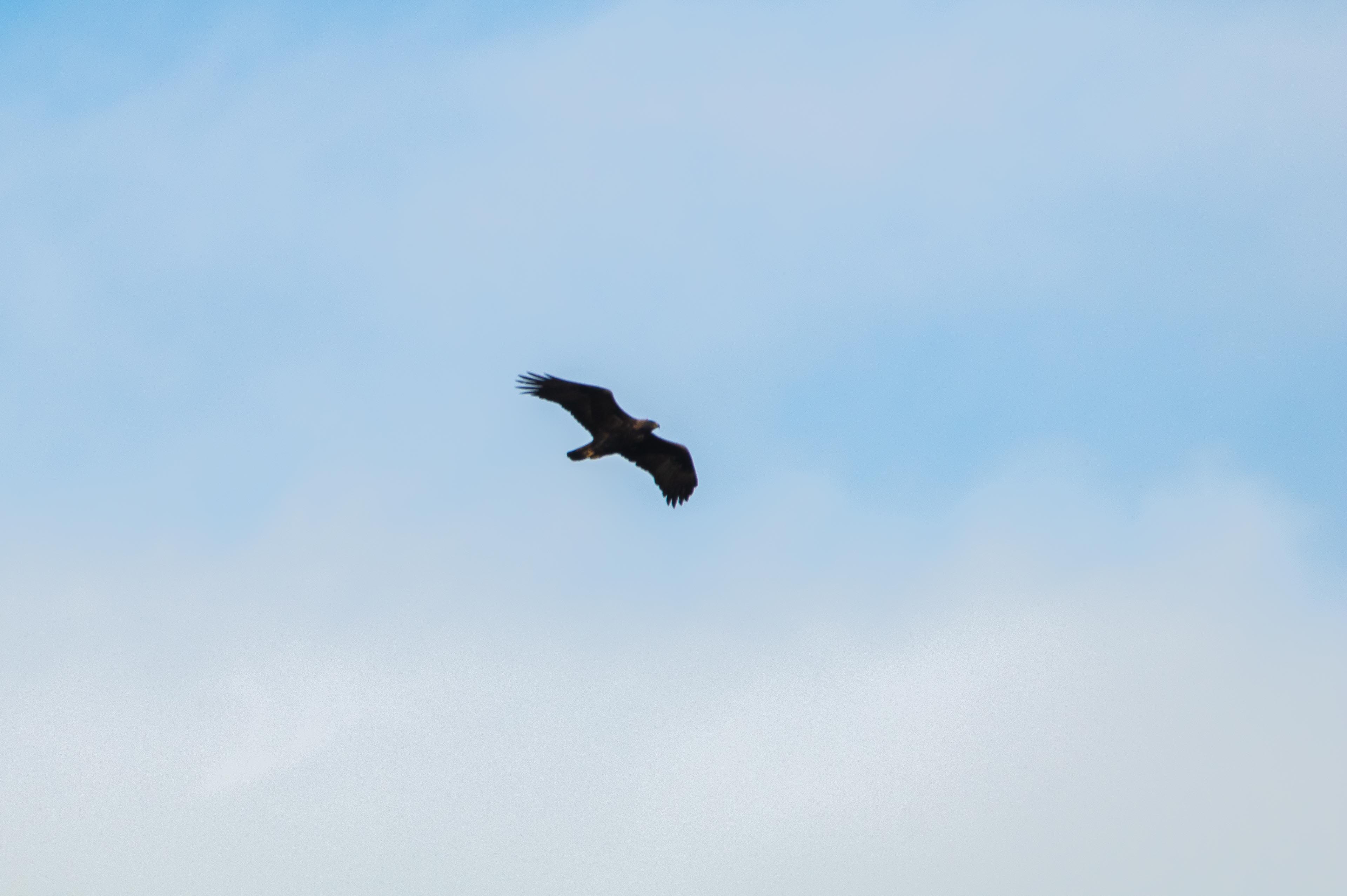
With no paths up in these hills it’s a perfect place to enjoy the quiet wilderness and its nature. Not only did I spot the red deer but also a golden eagle flying across the valley (I think it was based on my best ID detective work) and some mountain goats just happily strolling around.
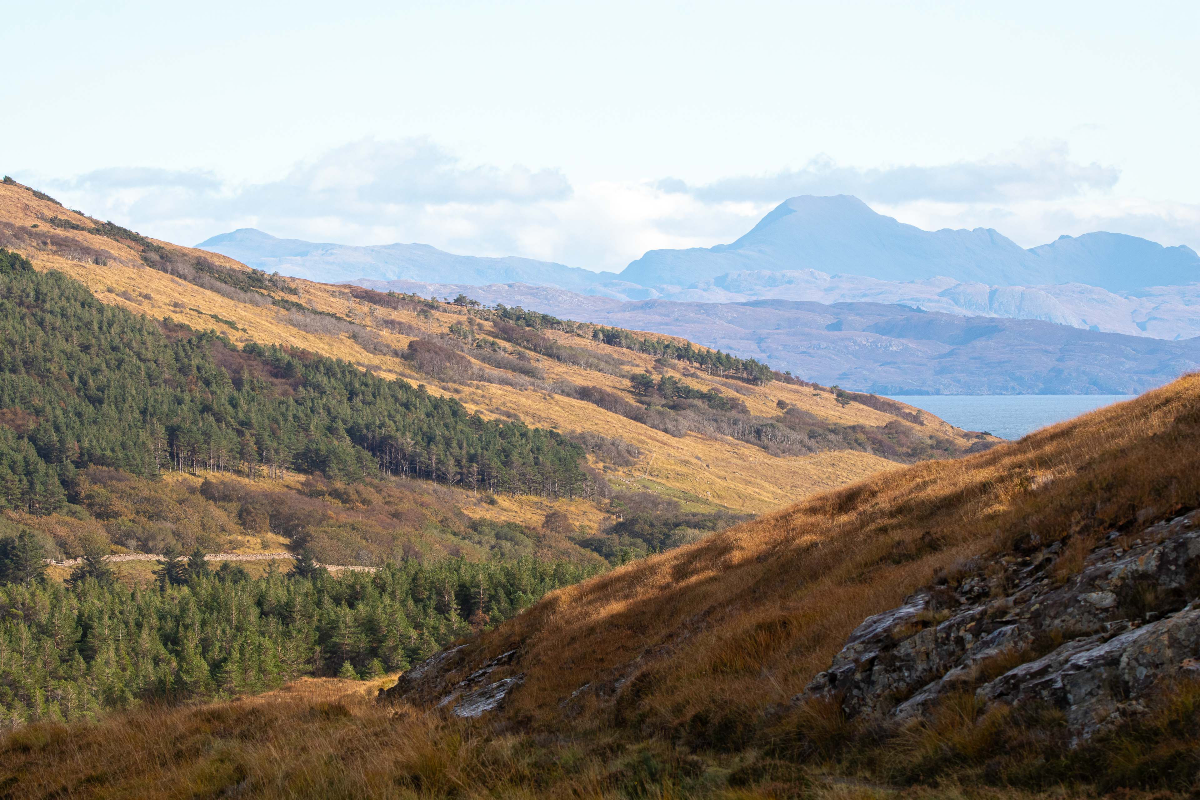
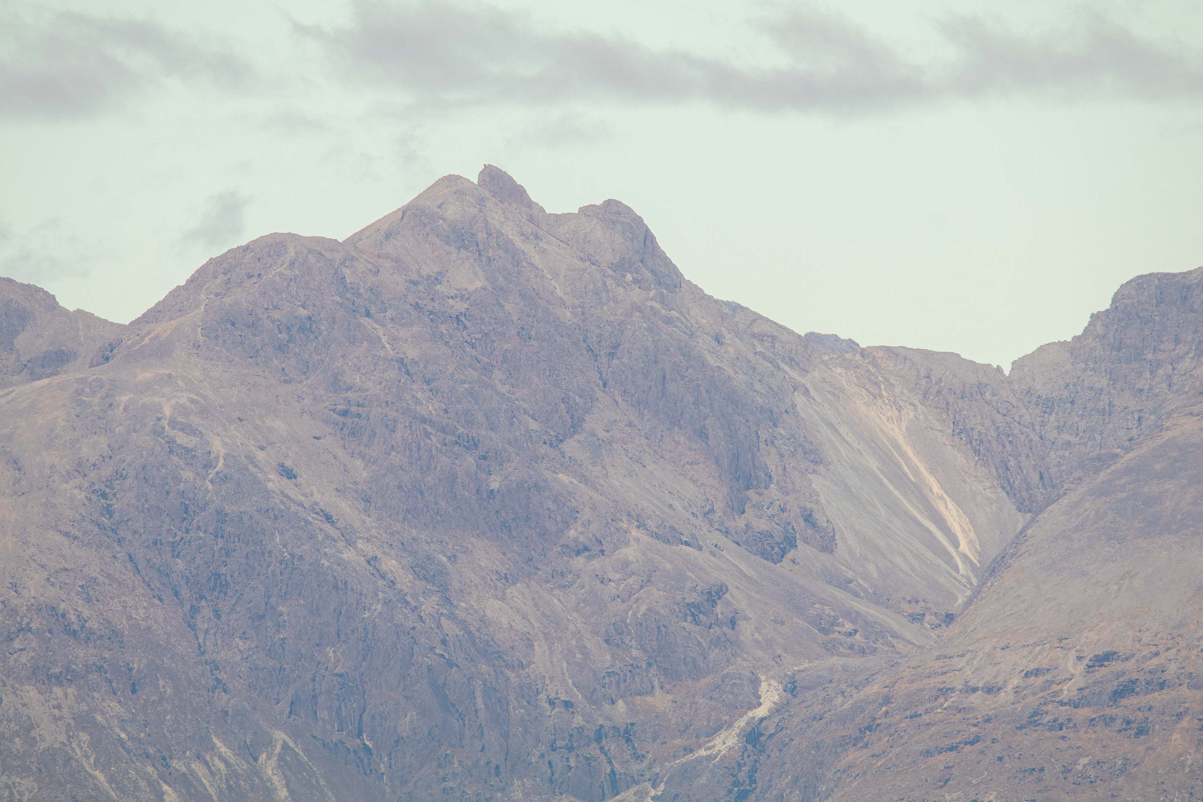
From Orval you follow the ridgeline of the hills southwards and then start the descent south east towards Harris where there is located another bothy (3 bothys are located on Rum) and a weird mausoleum that was built by the Bullough family many years ago. As you get closer to Harris the mountains of the Rum Cuillin become more oppressive and more inviting to climb! Unfortunately, I was not on Rum long enough to attempt the full Cuillin crossing (a very long day most suitable for summer months), albeit I did a few of the peaks before the ferry back on my last day on the island. (trail feature to follow soon)
From Harris you follow the easy track/path 6 miles all the way back to Kinloch and hope you don’t encounter any deer herds along the way! (I had to do a few detours through the undergrowth)
Once back at Kinloch its always worth visiting the small community shop for a well-earned drink and food before enjoying a relaxing evening in your accommodation/tent, of which there are many good options. I personally stayed at Ive Cottage. The owner Fliss has a bramble bothy self-catering hut which was super relaxing, and I would thoroughly recommend it. Link below.
https://www.ivycottageisleofrum.co.uk/
This is a great day out to really get stuck into what the isle of Rum is about and allows you to spot parts of the island you would like to explore if you’re visiting for a few days.
Any questions please feel free to message.
GPX file is available on request.